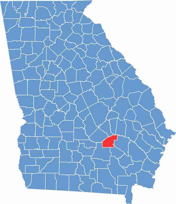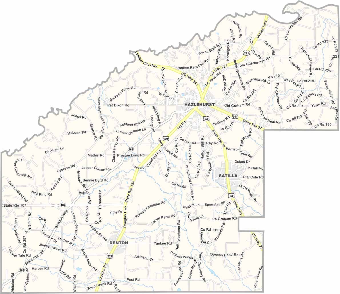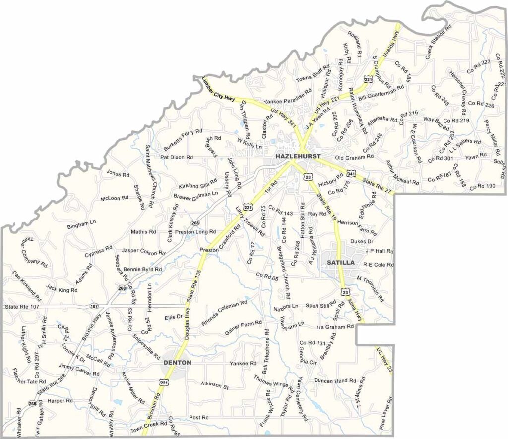
When you think of Jeff Davis County, picture the charm of small-town Georgia. Nestled in the southeastern part of the state, it sits roughly halfway between Savannah and Valdosta, with Hazlehurst serving as the county seat and community hub.
Life here reflects classic Southern traditions, where sweet tea, friendly neighbors, and front porch conversations are part of everyday life. Agriculture plays a vital role in the local economy, with tobacco, cotton, and blueberries among the area's key crops. The Ocmulgee River borders the county to the west, while the Altamaha River marks its northern edge.
Many residents have deep family roots that stretch back for generations, giving the county a strong sense of heritage and community. Events like the annual BBQ and Bluegrass Festival bring people together to celebrate local culture, while history enthusiasts often take interest in the county's namesake, Jefferson Davis.