
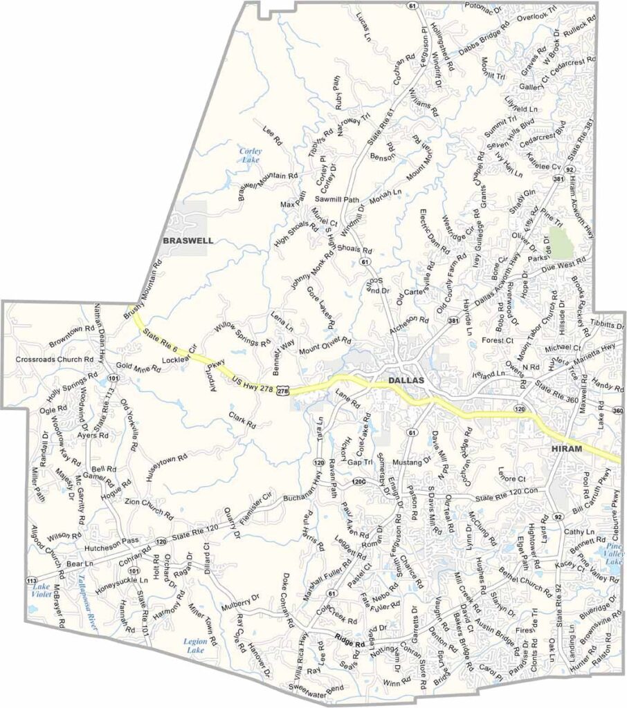
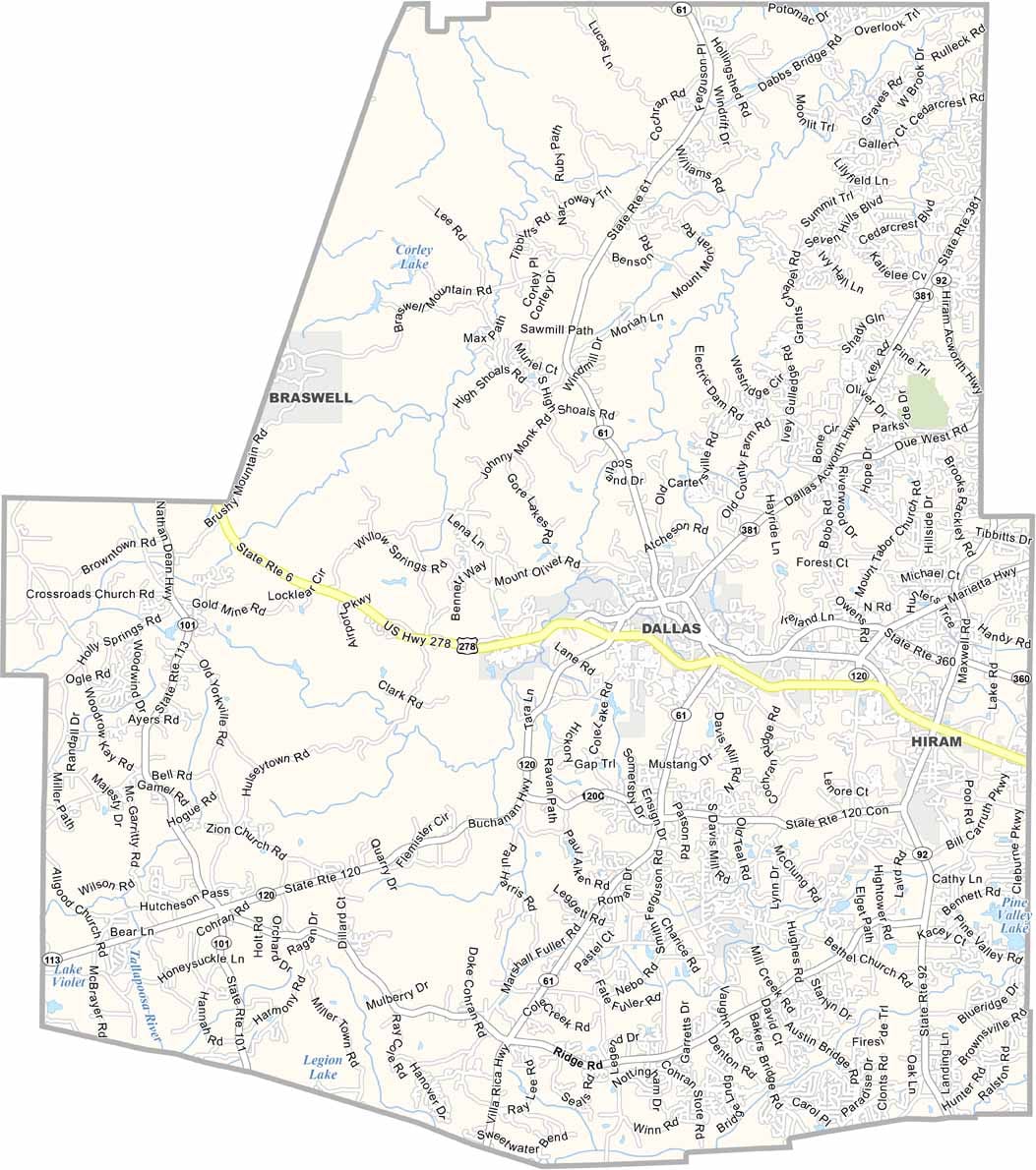
Paulding County is located northwest of Atlanta and has experienced tremendous population growth since the 1990s. What were once sleepy crossroads have developed into busy suburban communities, while Dallas, the county seat, continues to blend small-town character with growing metropolitan ambitions.
Despite rapid development, the county has preserved plenty of natural spaces and outdoor recreation. The Silver Comet Trail, a 61.5-mile route popular with cyclists, runners, and walkers, passes through the area. Each fall, the Paulding Meadows Arts and Crafts Festival brings together local artists, vendors, and visitors.
Paulding County schools are a major attraction for young families looking to escape Atlanta’s congestion while staying close to the city. Paulding Northwest Atlanta Airport adds another modern touch to the growing community. Even with all the new development, it’s still possible to spot deer grazing near newly built shopping centers and businesses—a reminder of the county’s rural roots.
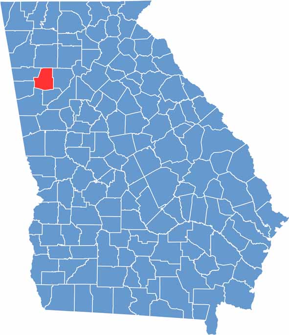
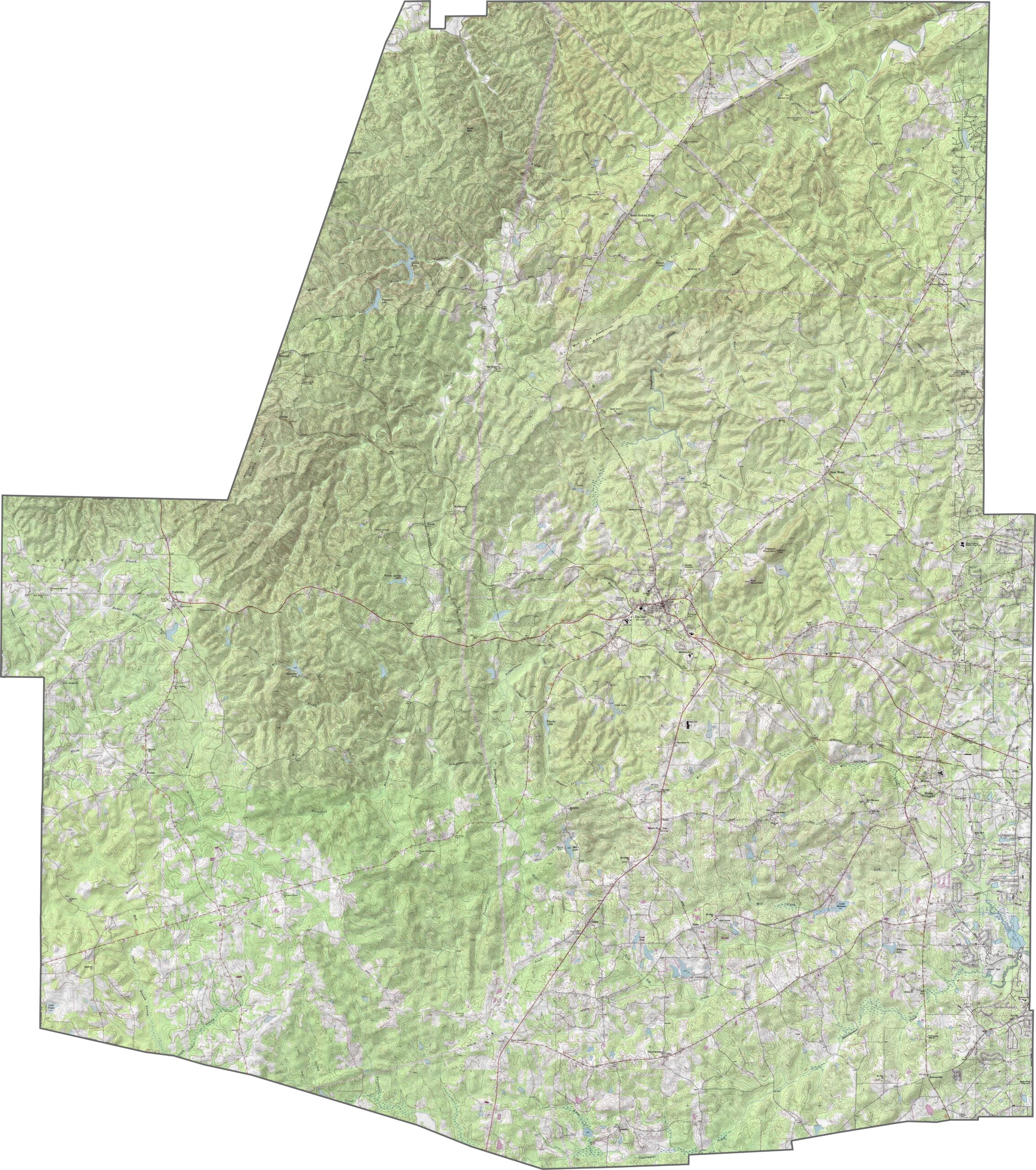
Our Richmond County topographic map shows a landscape that is more urban in the north and less developed toward the south. Augusta sits along the Savannah River, with noticeable elevation differences between downtown and the surrounding hill sections. Use our zoom tool to explore the county’s mostly flat terrain and gentle hills.
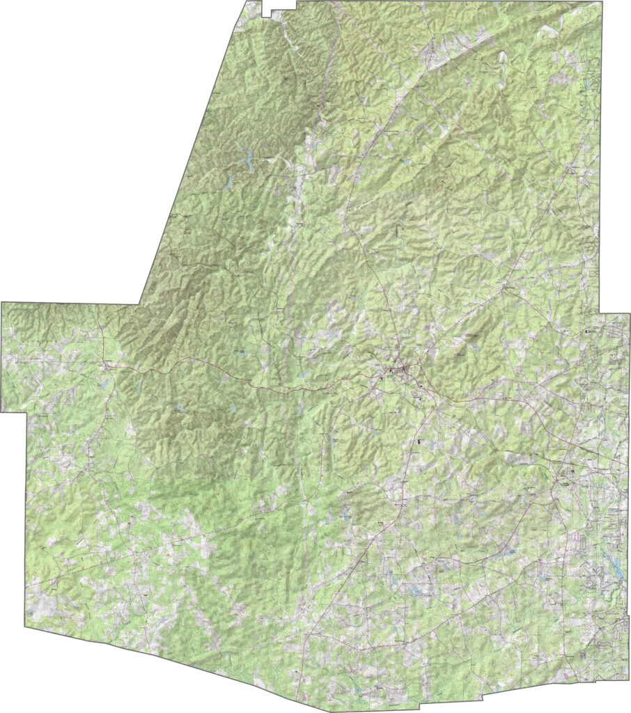
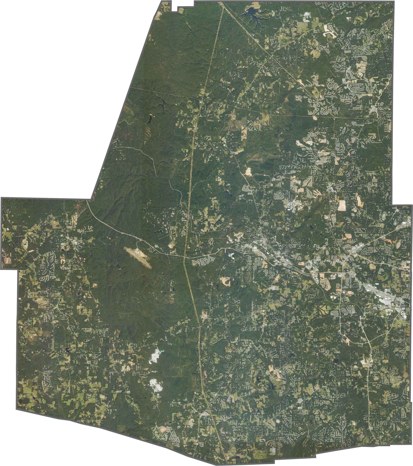
The landscape features a mix of forests, rivers, farmland, and growing communities, with development especially noticeable in the eastern portion of the county. These newer subdivisions reflect the continued expansion of Atlanta’s suburban perimeter. Although the terrain is generally hilly, several valleys provide suitable areas for agriculture and farmland.
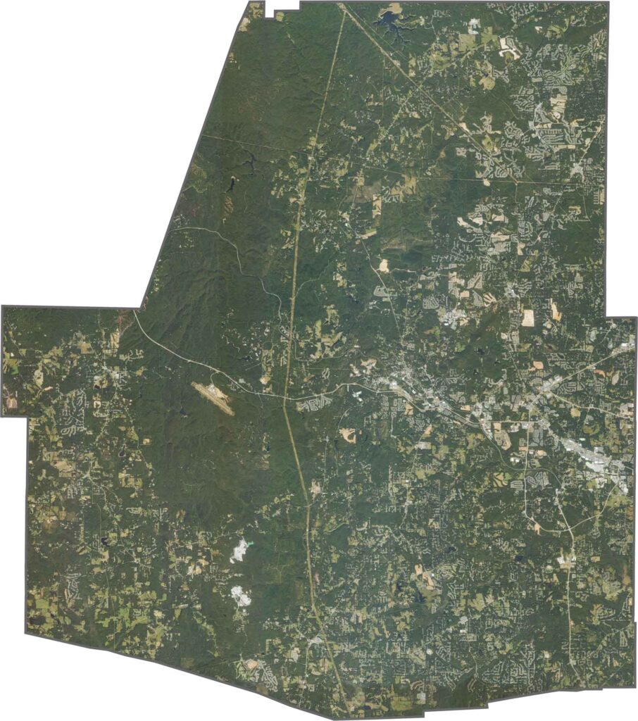
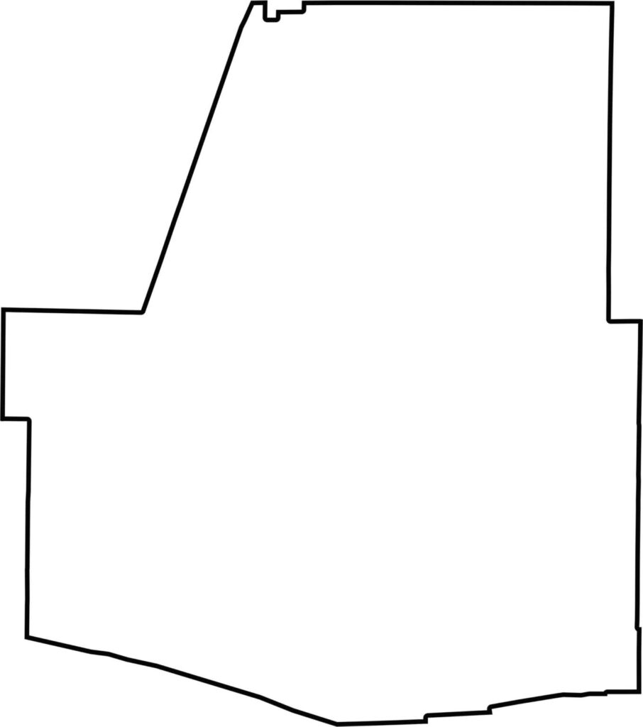
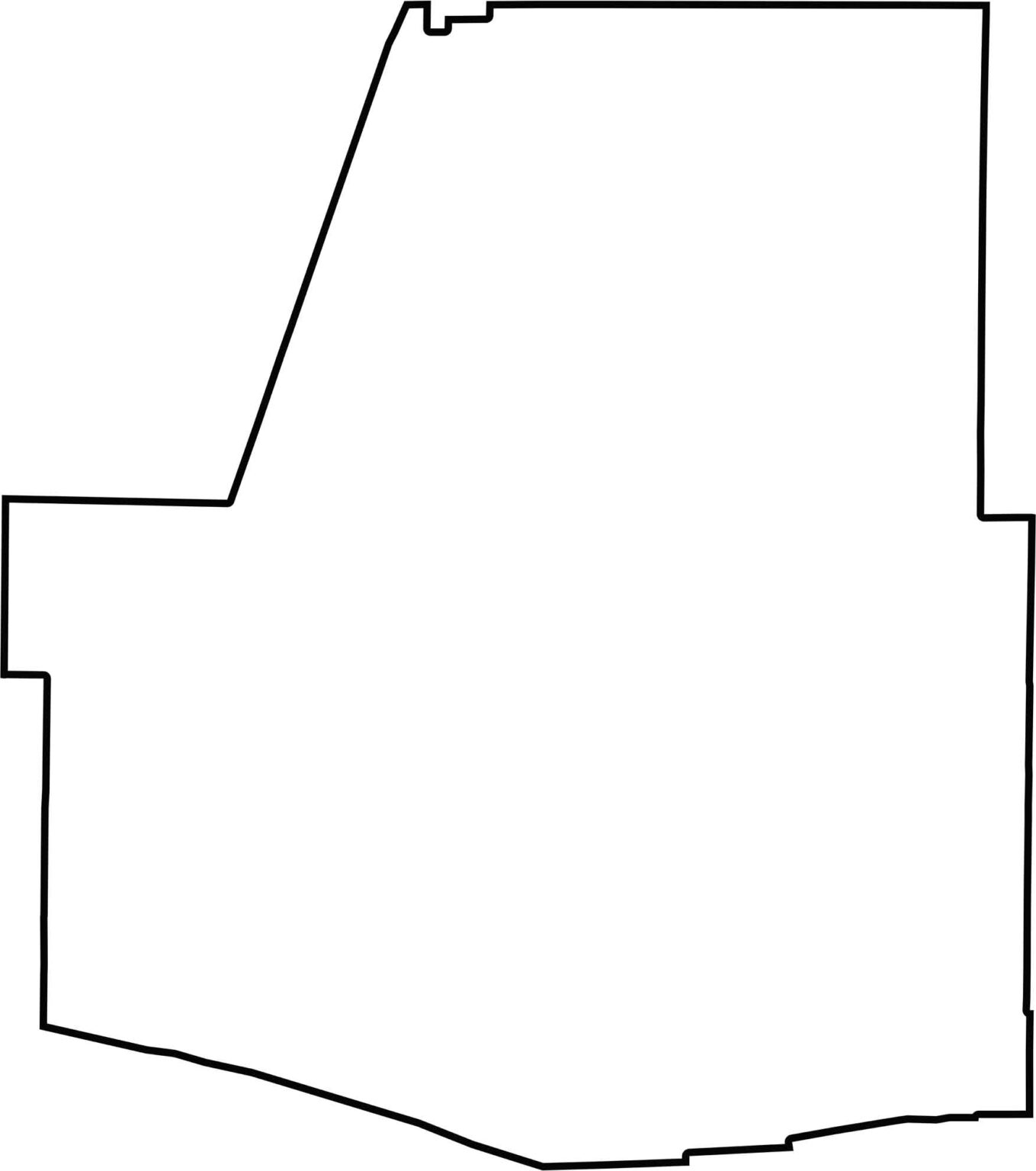
The Paulding County outline map shows a roughly rectangular shape in northwest Georgia. Its location within the greater Atlanta region makes it a rapidly developing part of the state while still retaining much of its wooded and rolling landscape.







Now available! Our Georgia county map highlights all 159 counties with exceptional detail and clarity. Whether you're exploring geography, planning a trip, or learning more about the Peach State, this comprehensive map is the resource you've been looking for. Discover Georgia like never before and explore every corner of the state.