
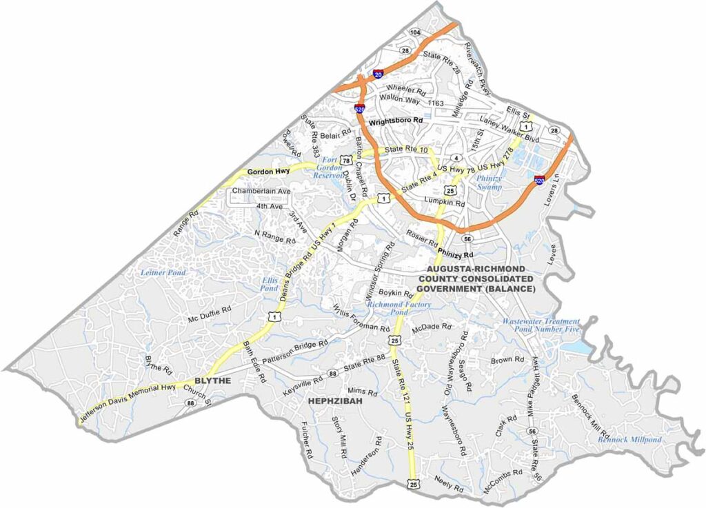
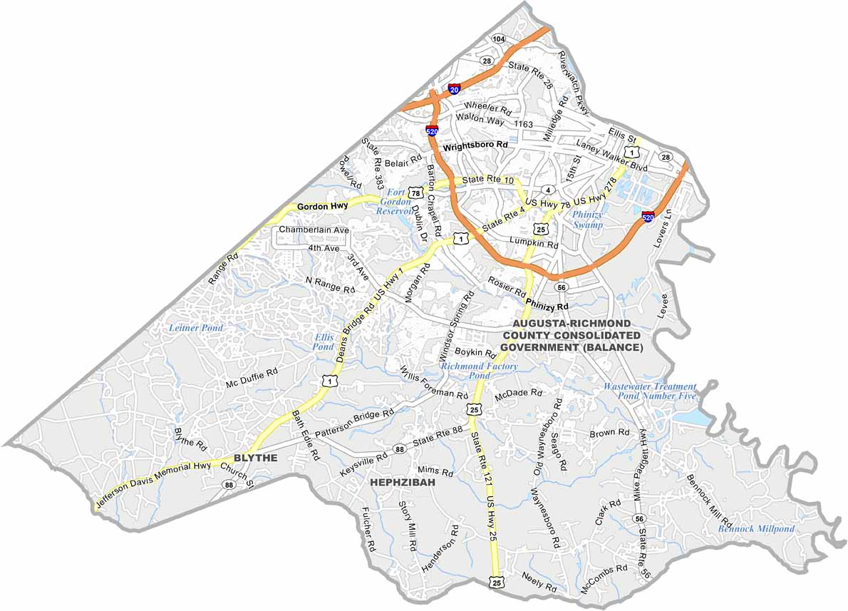
Richmond County is home to Augusta, Georgia’s second-largest city, located along the scenic Savannah River. Downtown Broad Street stays lively with shops, restaurants, and occasional street festivals, while the Masters Tournament puts Augusta in the international spotlight every spring, turning the city into a major golf destination.
Richmond County has a unique government structure because Augusta and Richmond County consolidated their governments in 1996. The area has played an important role in Georgia’s history since 1777 and was named after the Duke of Richmond. Fort Gordon adds a strong military presence while also contributing technology jobs and cultural diversity to the region.
Across the county, you’ll find an appealing mix of antebellum mansions and modern medical complexes. The Augusta Canal provides a peaceful green escape within the city, perfectly complementing Richmond County’s blend of urban energy and Southern charm.
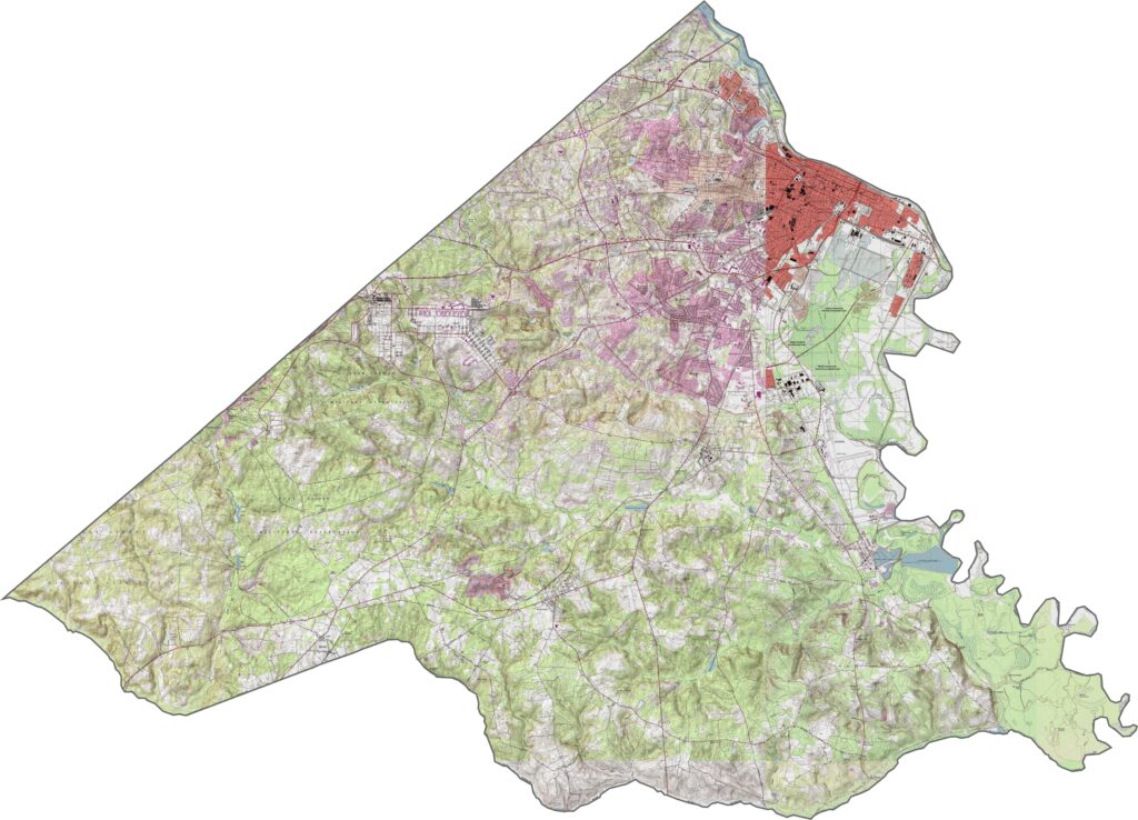
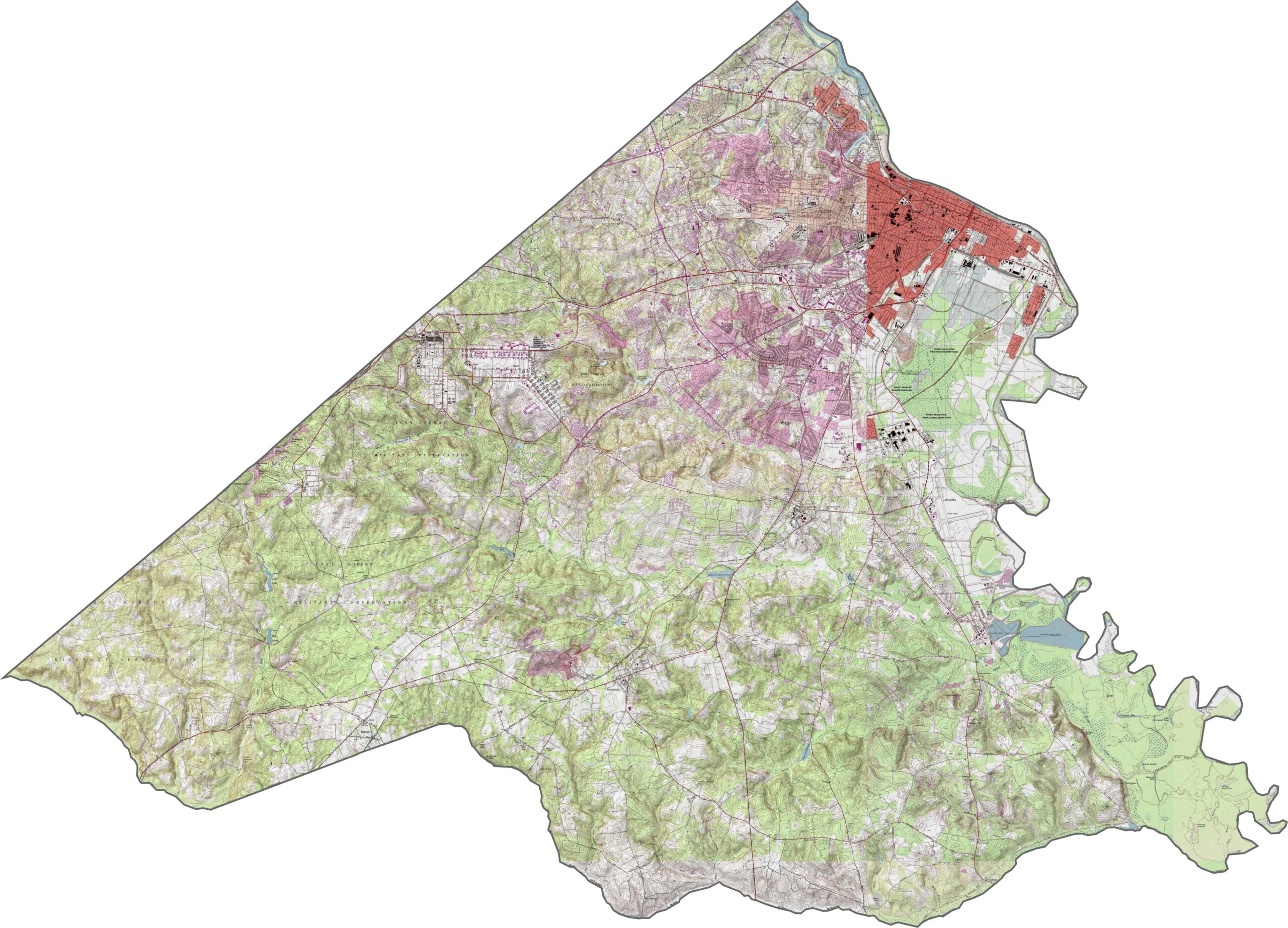
Our Richmond County topographic map shows a landscape that is more urban in the north and less developed toward the south. Augusta sits along the Savannah River, with noticeable elevation differences between downtown and the surrounding hill sections. Use our zoom tool to explore the county’s mostly flat terrain and gentle hills.
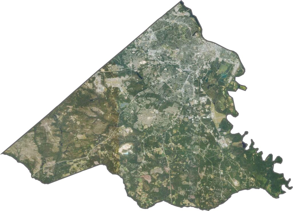
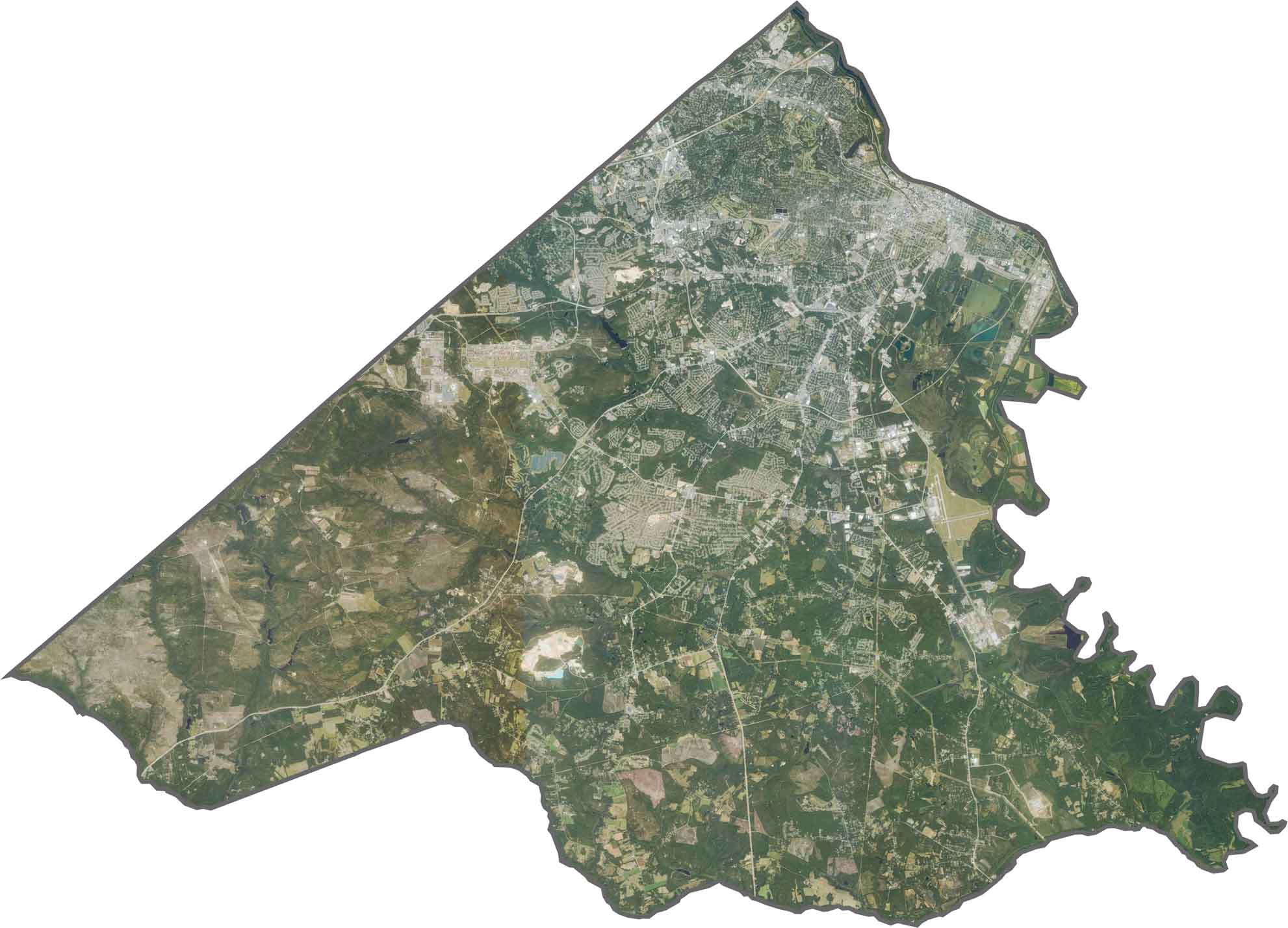
Our Richmond County satellite map highlights Augusta, the county’s largest city, in the northeast. Beyond the urban areas, the landscape includes a mix of forests, lakes, and developed communities. Our zoom tool makes it easy to explore the different communities and geographic features across Richmond County.
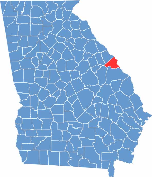
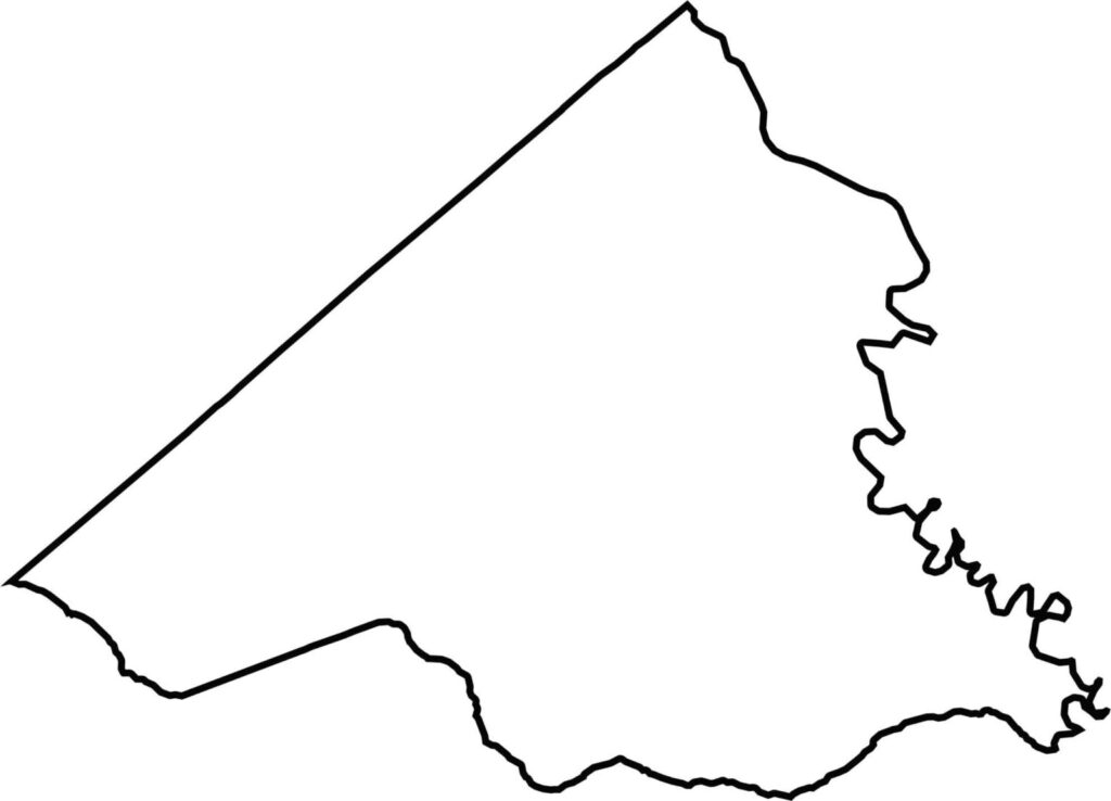
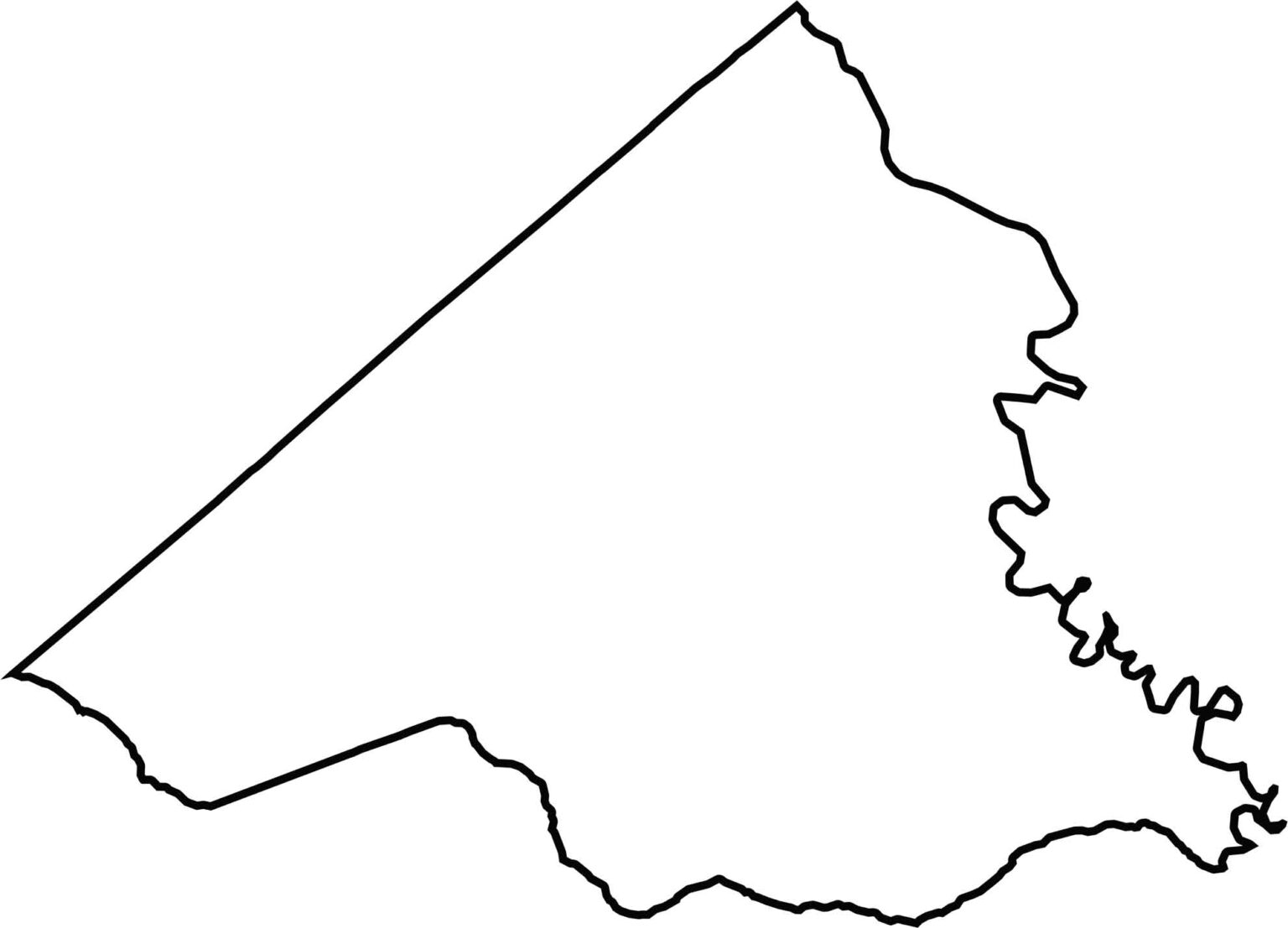
The Richmond County outline map shows a roughly triangular shape that points eastward. The Savannah River forms the county’s eastern boundary, separating Richmond County from South Carolina.







Now available! Our Georgia county map highlights all 159 counties with exceptional detail and clarity. Whether you're exploring geography, planning a trip, or learning more about the Peach State, this comprehensive map is the resource you've been looking for. Discover Georgia like never before and explore every corner of the state.