
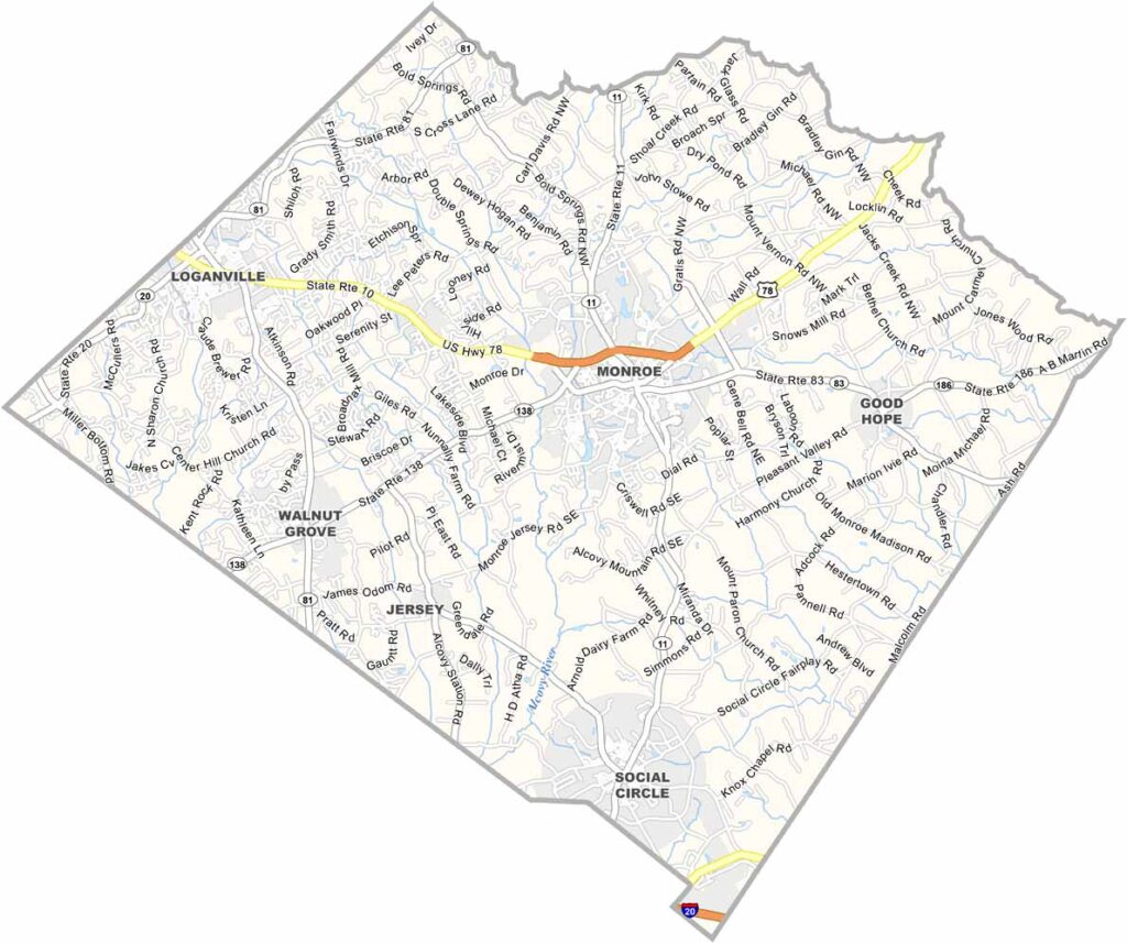
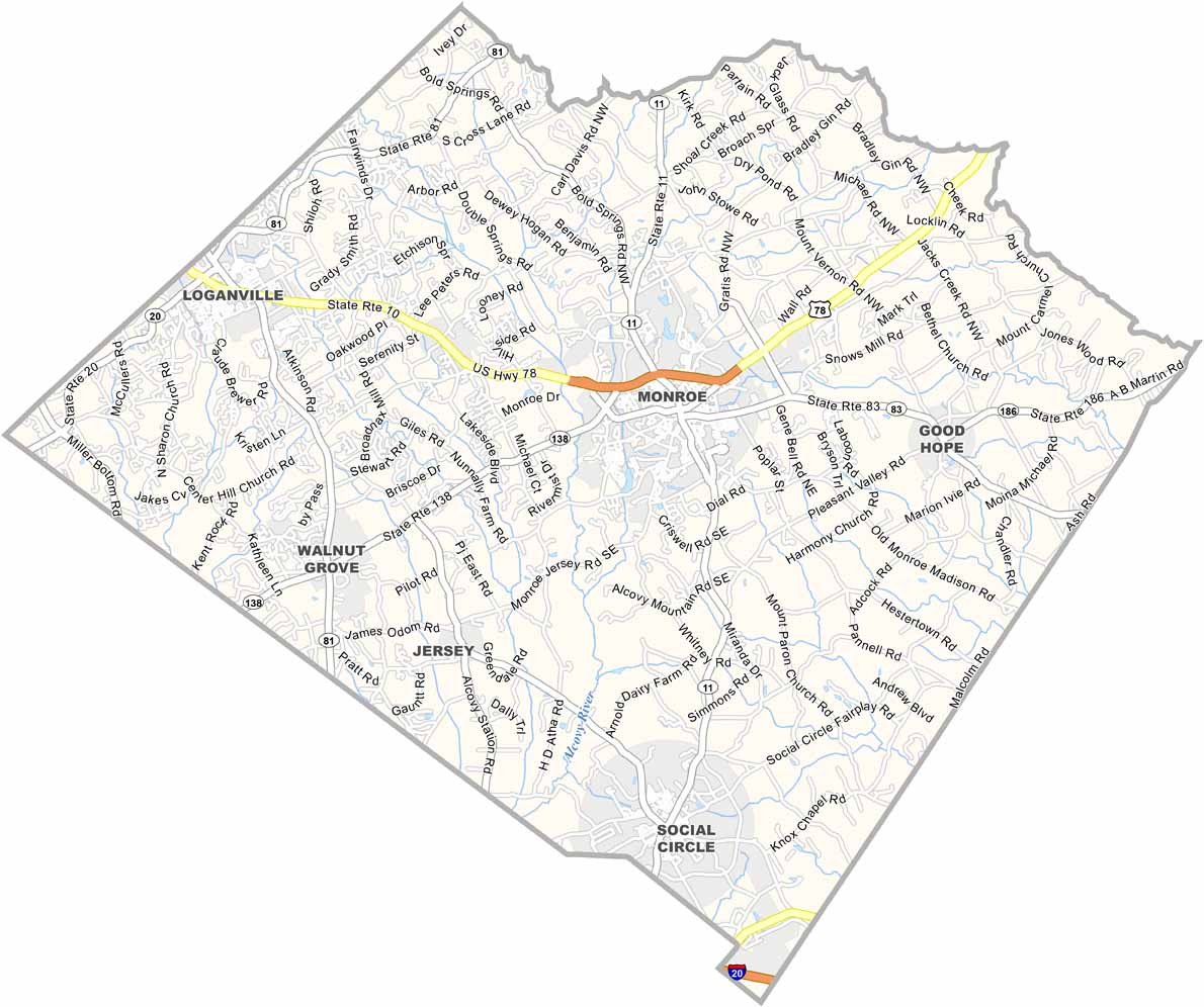
Walton County sits between the expanding influence of Atlanta and Georgia’s rural heartland. Located about an hour east of the city, it is close enough for commuters while remaining far enough away to maintain its small-town and country charm.
You can’t talk about Walton County without mentioning “In the Heat of the Night.” Parts of the popular television series were filmed in the area, adding to the county’s cultural history. The Social Circle Theater also helps support the local arts scene through community productions and performances.
Monroe, the county seat, features a historic downtown that has experienced renewed growth in recent years. Farms and pastures remain an important part of the landscape, while new businesses and development continue to emerge. Walton County is changing, but it continues to hold onto its rural roots and strong sense of community.
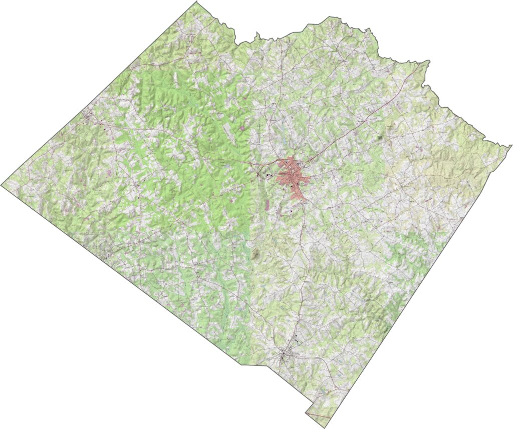
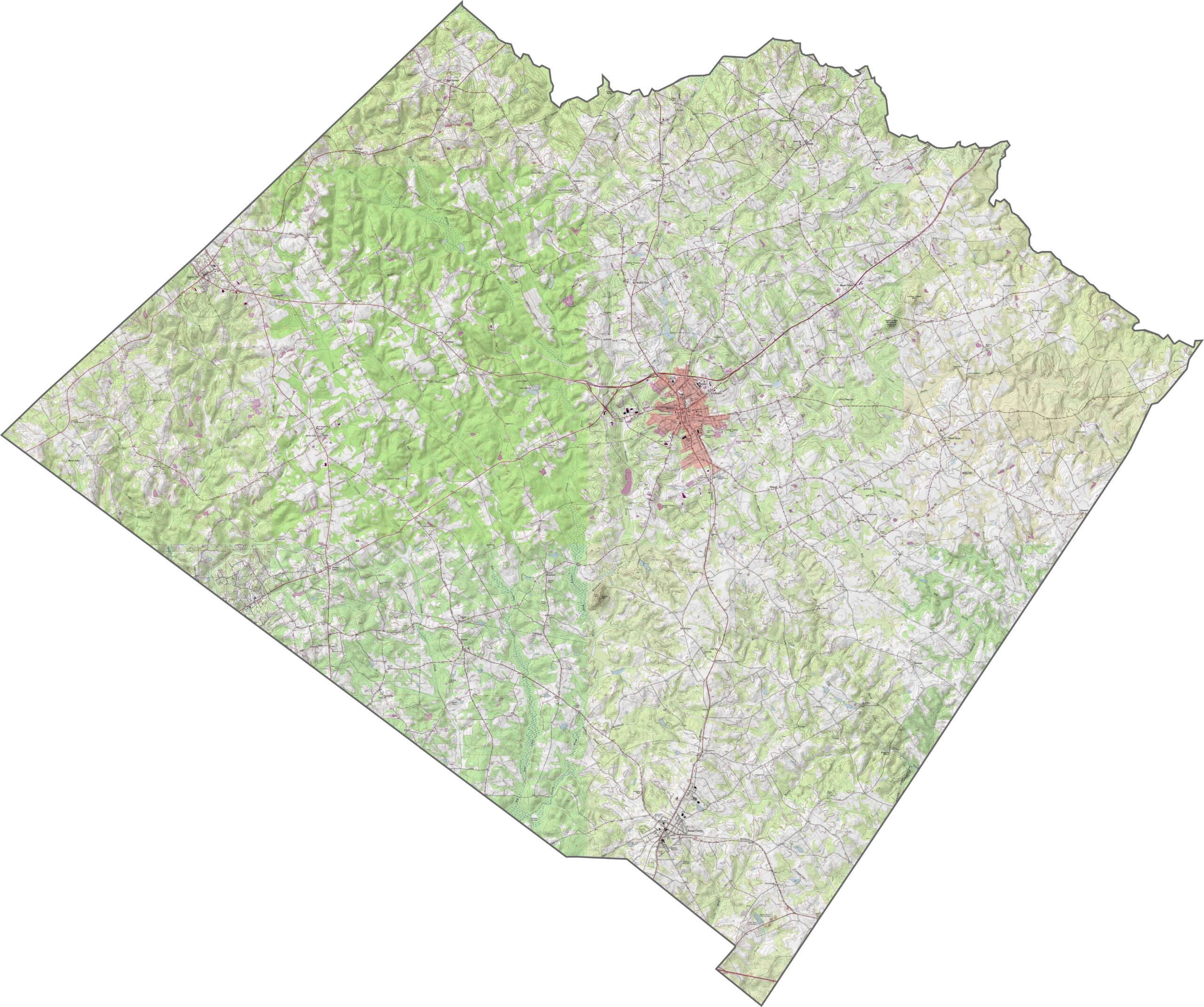
Our Walton County topographic map displays detailed elevation contours, highways, and roads across the region. Monroe sits near the center of the county, while Walnut Grove and Social Circle are other notable communities. The Alcovy River flows through the county, along with numerous creeks and small lakes.
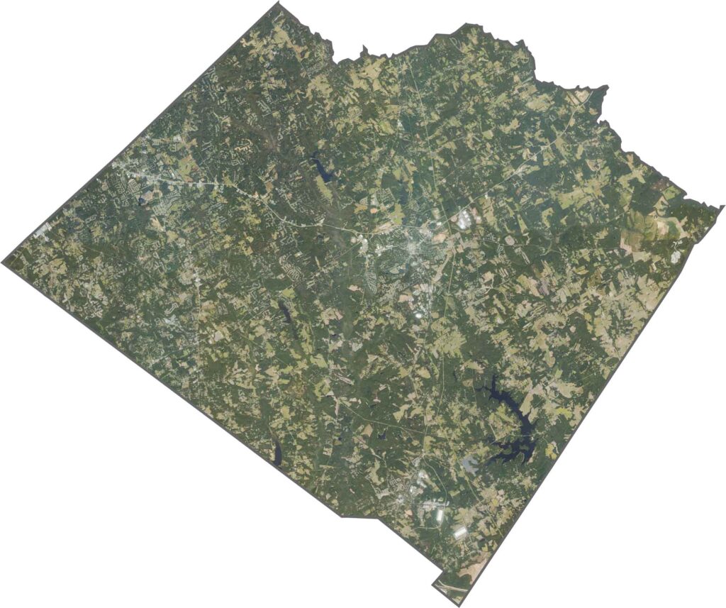
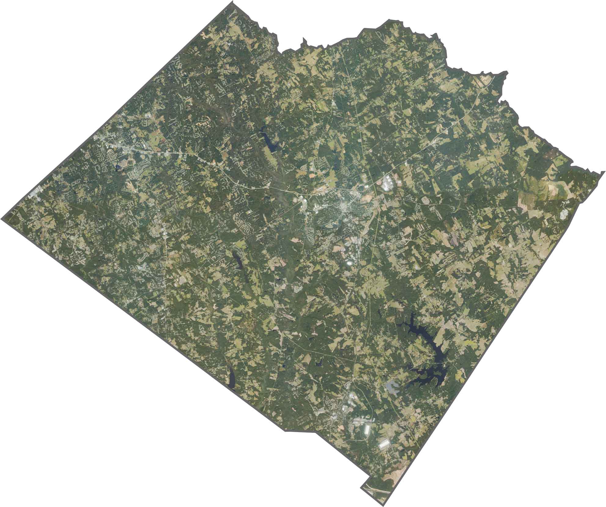
This satellite map of Walton County highlights the contrast between suburban growth and rural landscapes. Rolling hills, forests, and farmland cover much of the area. The eastern region features pastures, row crops, and other agricultural land.
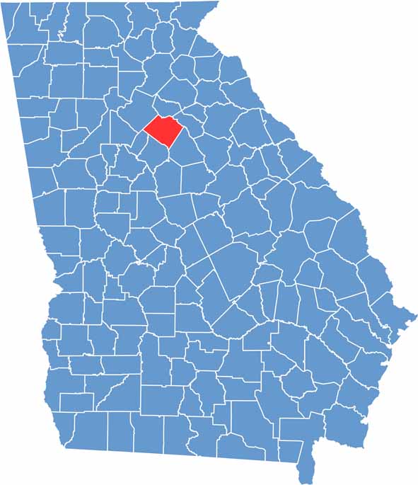
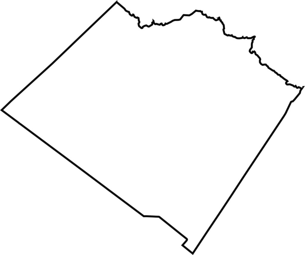
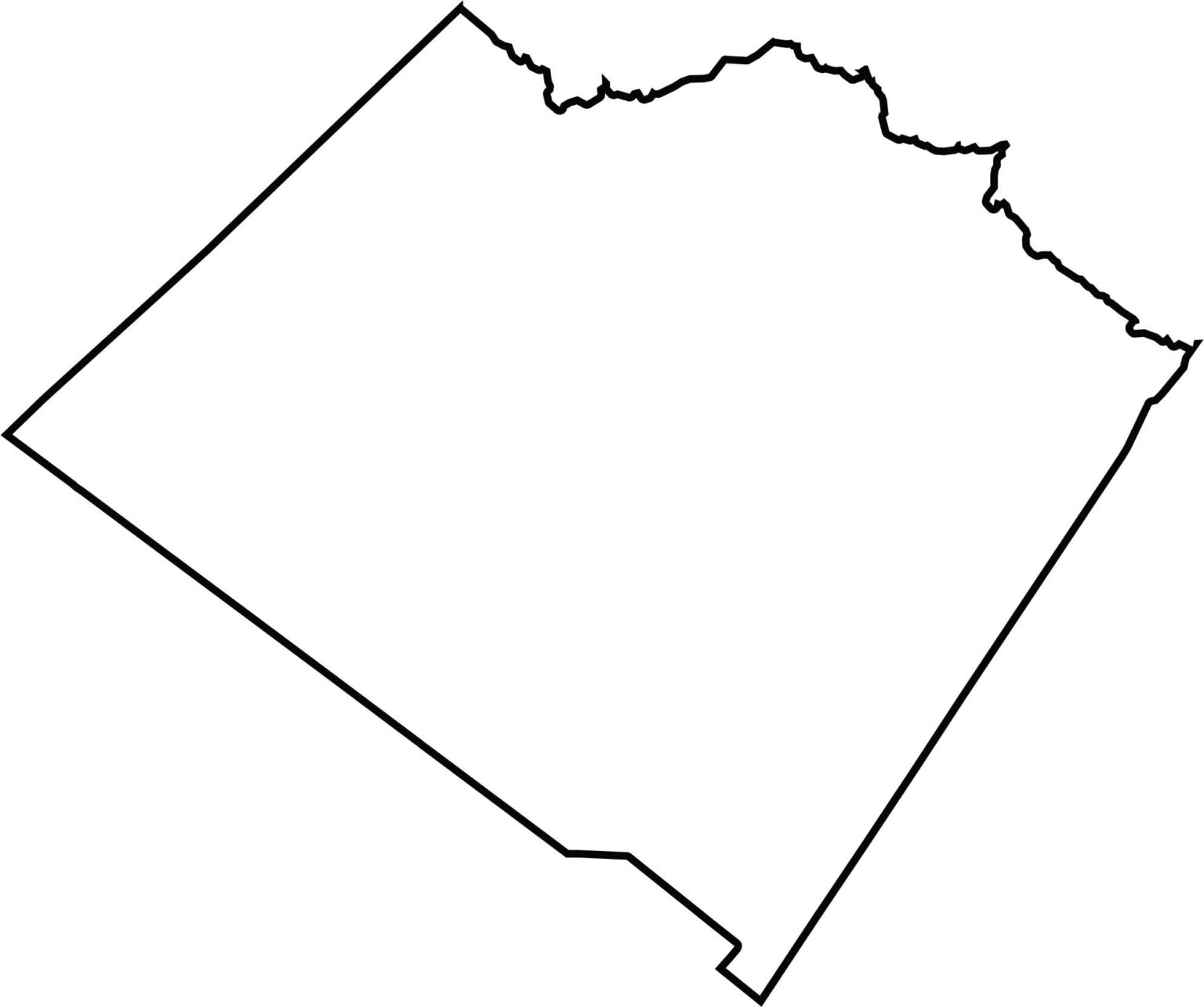
Walton County is located in north-central Georgia between Atlanta and Athens. It has a somewhat irregular pentagonal shape, with the Apalachee River forming part of its northeastern boundary.







Now available! Our Georgia county map highlights all 159 counties with exceptional detail and clarity. Whether you're exploring geography, planning a trip, or learning more about the Peach State, this comprehensive map is the resource you've been looking for. Discover Georgia like never before and explore every corner of the state.