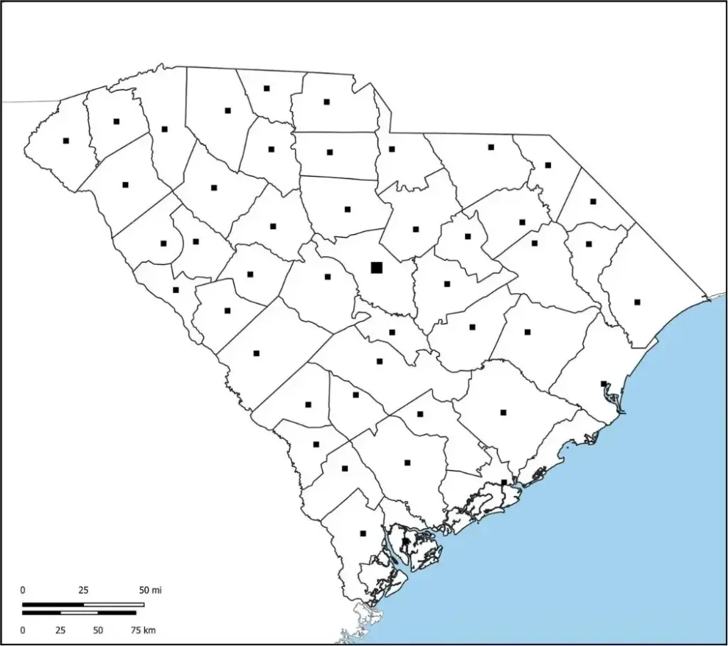
A Blank South Carolina County Map is a customizable map template that allows users to label, draw, or highlight counties, cities, landmarks, and other geographical features throughout the state. It is a valuable resource for students, teachers, researchers, and geography enthusiasts who want to learn more about South Carolina’s layout and regional characteristics. The unmarked design provides flexibility for educational activities, quizzes, and map-based projects, enabling users to identify and mark important locations such as Charleston, Columbia, and Greenville. By encouraging hands-on learning, a Blank South Carolina County Map helps users develop a stronger understanding of the state's geography and county structure.
Educators can use Blank South Carolina County Maps in classrooms to enhance lessons in geography, history, and civics, while travelers and planners may find them useful for marking routes, planning trips, and identifying specific regions of the state. South Carolina is home to a wide range of natural and historical attractions, from the Blue Ridge Mountains in the northwest to the scenic Atlantic coastline in the southeast. A blank map encourages users to explore and engage more deeply with the state's physical features, cultural heritage, and regional diversity. Whether used for worksheets, quizzes, coloring activities, or creative projects, these printable maps offer a practical and interactive way to learn about the Palmetto State. Their simplicity and versatility make them valuable tools for both educational and personal use.
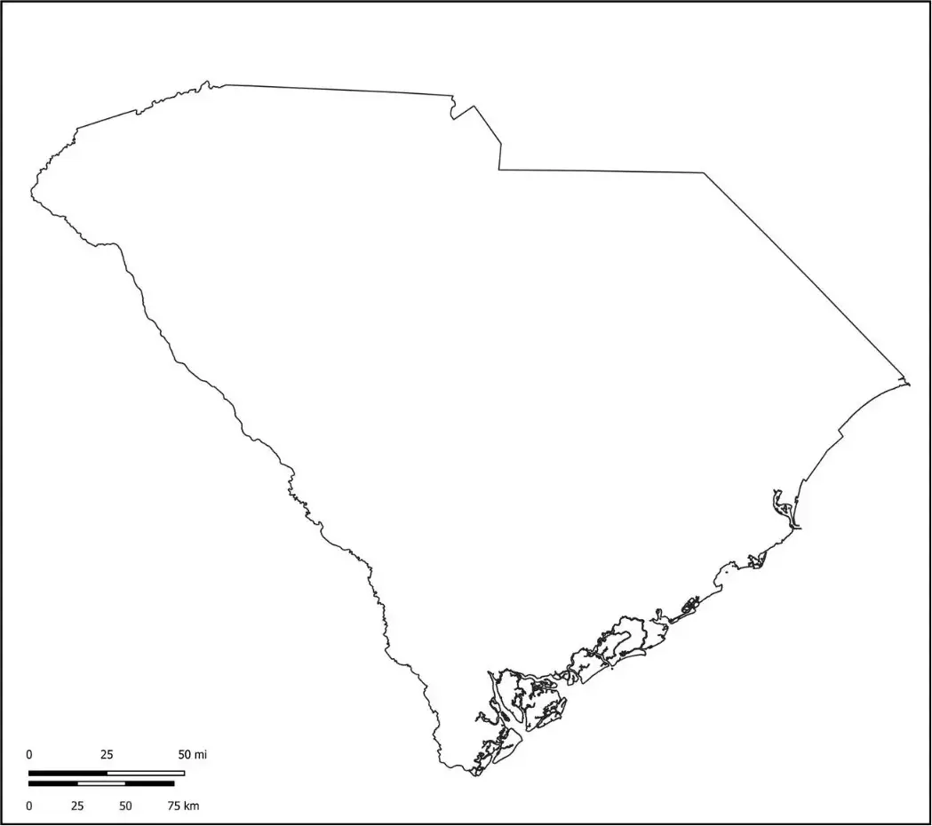
South Carolina is bordered by North Carolina to the north, Georgia to the southwest, and the Atlantic Ocean to the southeast. The state is known for its diverse landscapes, ranging from the beautiful beaches of Myrtle Beach and Hilton Head Island to the scenic foothills of the Blue Ridge Mountains. South Carolina also holds an important place in American history, particularly during the Civil War era. Columbia, the state capital, serves as a major center for government, education, and business, while Charleston, a historic port city, is renowned for its rich cultural heritage, architecture, and economic significance. Together, these features make South Carolina a state rich in natural beauty, history, and cultural diversity.
South Carolina’s economy is supported by several key industries, including agriculture, tourism, and manufacturing. The state produces a variety of agricultural products, while its beautiful beaches, historic landmarks, and cultural attractions make tourism a major economic driver. Manufacturing also plays an important role, with industries ranging from automotive production to aerospace and advanced technology. Known for its warm climate, Southern hospitality, natural beauty, and rich historical heritage, South Carolina continues to attract both visitors and new residents from across the country and around the world.
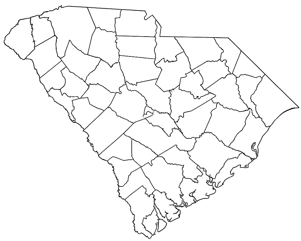
A South Carolina map worksheet is a useful educational resource that helps students learn about the state's geography. It often features a blank or labeled map of South Carolina, enabling learners to locate and label important cities, counties, rivers, and landmarks. Educators commonly use these worksheets in geography, social studies, and history lessons to strengthen students' understanding of the state's physical and cultural features.
Activities may involve identifying and labeling major cities such as Columbia and Charleston, outlining state borders, or coloring various geographic regions. A South Carolina map worksheet supports hands-on learning, enhances map-reading abilities, and helps students explore the state's physical and political geography in an engaging and visually appealing way.
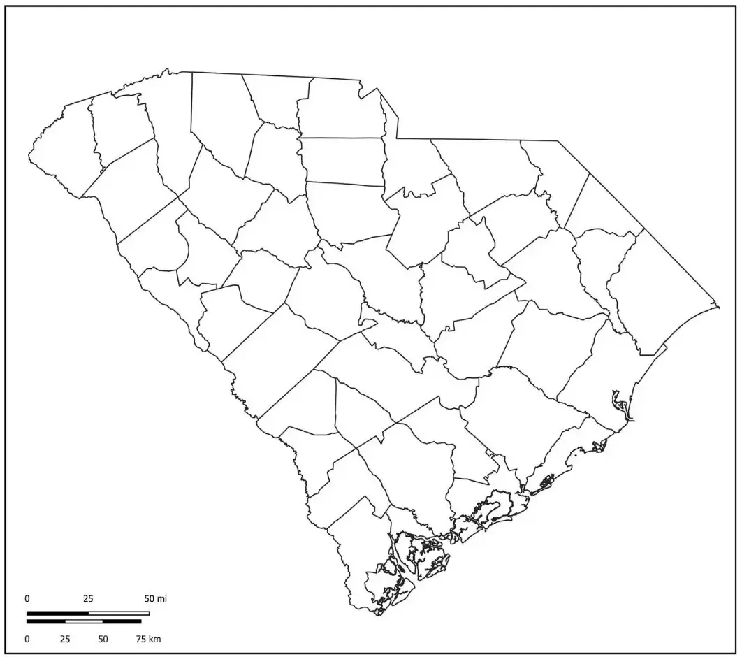
This map features a simple, unmarked outline of South Carolina without any labels or additional markings. It serves as an excellent educational resource for students to label locations, add colors, and identify geographic features while learning about the state's geography. The outline highlights South Carolina’s boundaries with North Carolina, Georgia, and the Atlantic Ocean, making it ideal for classroom activities and map-based learning exercises.
Users can label major cities such as Columbia and Charleston or highlight the state's diverse geographic regions. Available as printable outlines, a South Carolina map is a versatile learning resource that can be used in classrooms, research projects, homework assignments, or independent study. It helps learners become familiar with the state's layout, boundaries, and key geographic features in an interactive and engaging way.

