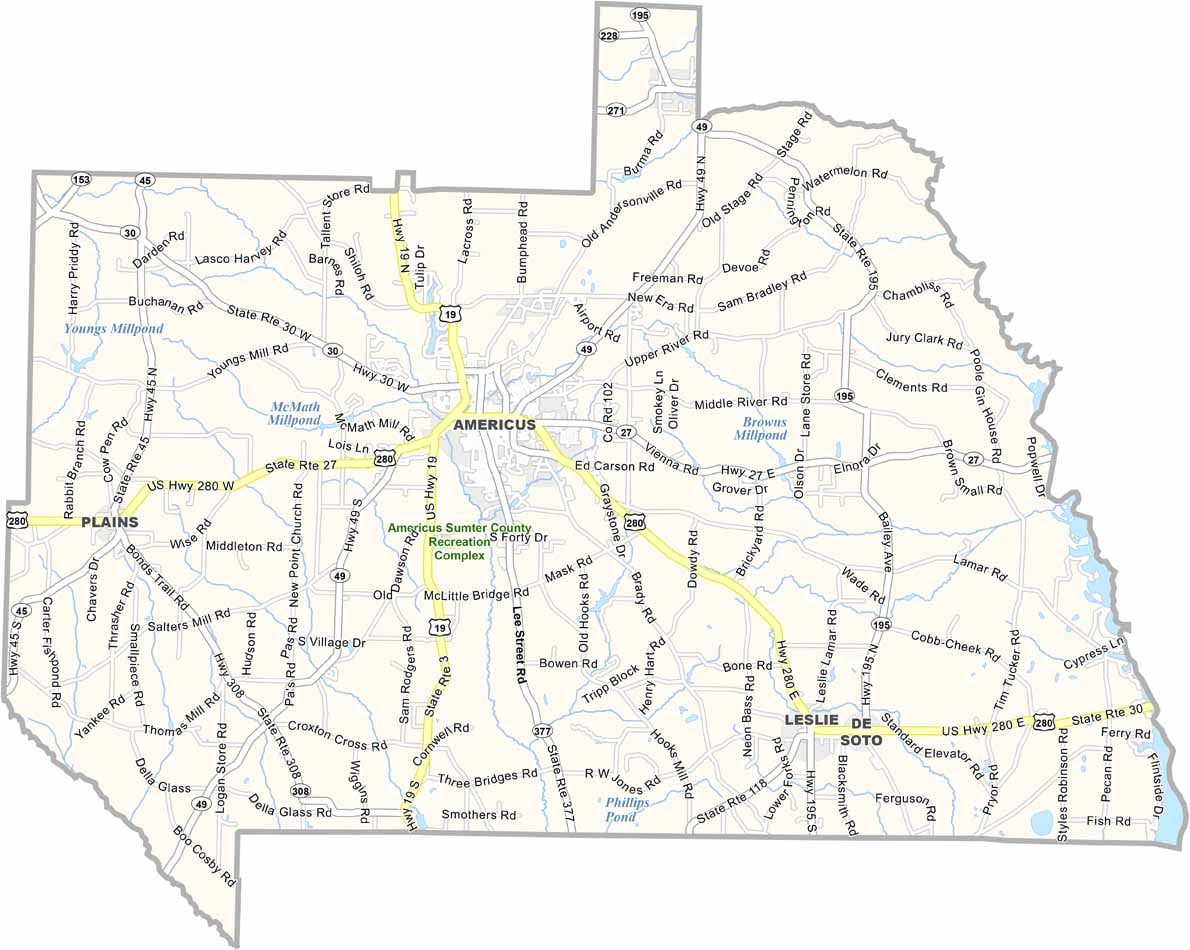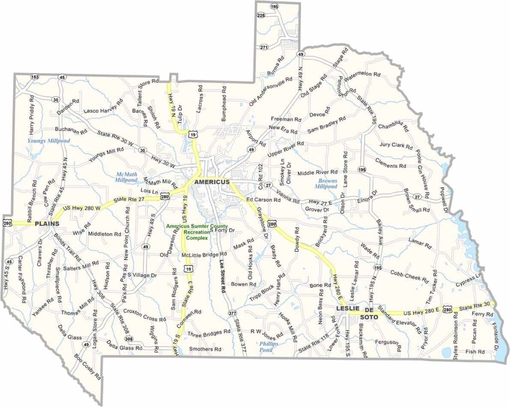
Sumter County, Georgia

Sumter County is located in southwest Georgia and was established in 1831. Home to about 30,000 residents, the county is best known as the birthplace of Habitat for Humanity, the global nonprofit dedicated to expanding access to affordable housing.

The county is also rich in history. Andersonville National Historic Site preserves the grounds of the Civil War prison camp and honors those who were held there. Plains, the hometown of former President Jimmy Carter, is another notable destination that draws visitors from around the world.

Agriculture remains the foundation of the local economy, with peanuts, cotton, and other crops playing a major role. Americus, the county seat, serves as the county’s commercial and cultural center, blending historic charm with a strong sense of community.
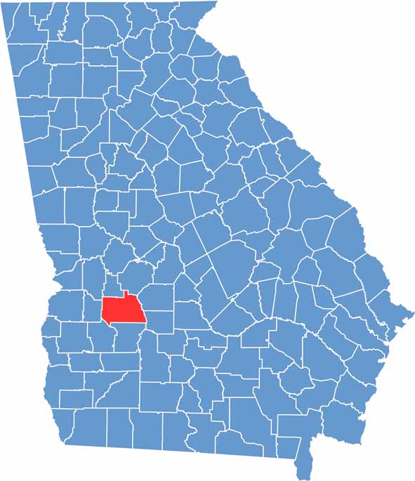

Sumter location map showing its location in Georgia.
Category Details
County Name Sumter County
County Seat Americus
Cities, Towns, and Communities Americus (county seat), Andersonville, Plains, Leslie, DeSoto, Sumter County includes other small communities such as Cobb, and Plains
Interstates and Highways U.S. Route 19, U.S. Route 280, Georgia State Route 30, Georgia State Route 49
Etymology Named after General Thomas Sumter
FIPS Code 13-261
Total Area (Land and Water) 505 square miles (land: 495 sq mi, water: 10 sq mi)
Time Zone Eastern Time Zone (ET)
State Georgia
Coordinates 32.0717° N, 84.2255° W
Major Landmarks Andersonville National Historic Site, the historic downtown area of Americus
Adjacent Counties (and Direction) Macon County (Northeast), Dooly County (East), Crisp County (Southeast), Lee County (South), Terrell County (Southwest), Webster County (West), Marion County (Northwest), Schley County (North)
Population Approximately 30,000
Scroll to Top