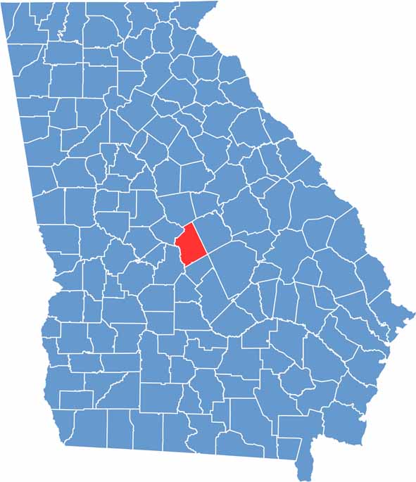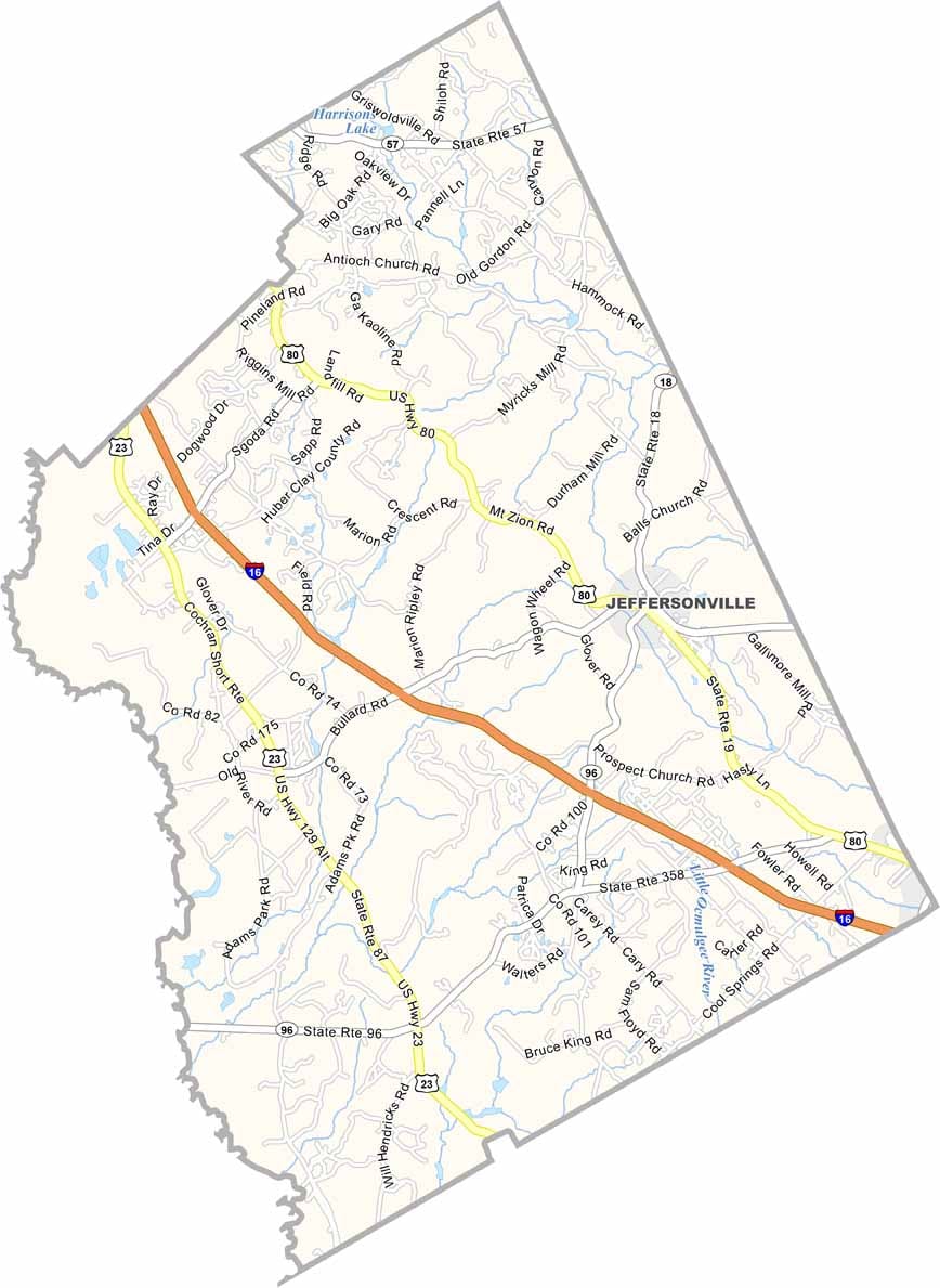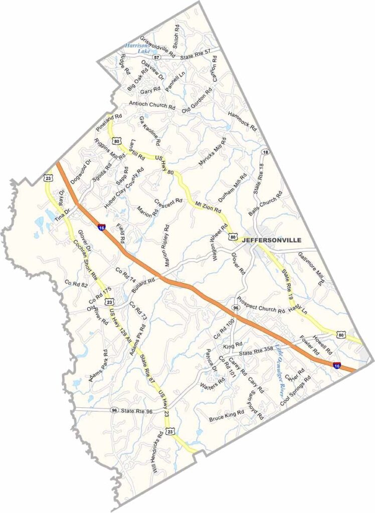
Twiggs County is located in central Georgia, just east of Macon, where rural landscapes and small-town charm define the local way of life. Jeffersonville, the county seat, serves as the heart of the county and reflects its relaxed, close-knit community atmosphere.
The Ocmulgee River forms the county’s western border, providing opportunities for fishing, kayaking, and other outdoor recreation. Twiggs County is also known for its rich deposits of kaolin, a white clay that has been an important part of the local economy for decades.
Nature enthusiasts can explore the Bond Swamp National Wildlife Refuge, while the county’s forests attract hunters during the fall season. Each year, residents gather for the Twiggs County Fair to enjoy rides, local food, and community traditions. Visitors can also stop by the historic Jeffersonville Train Depot, now a museum that preserves the county’s rich history and heritage.