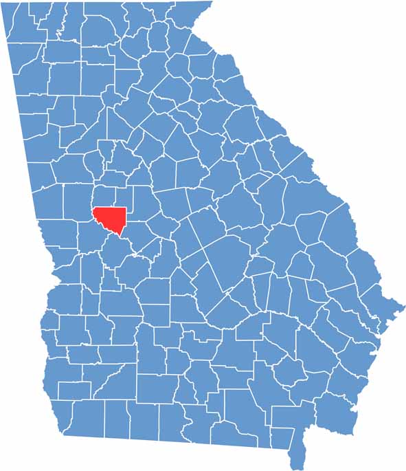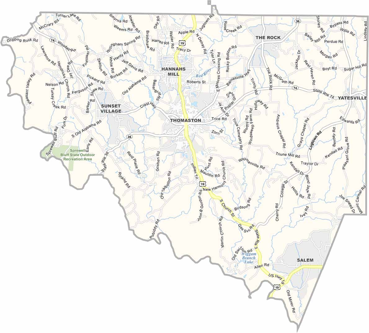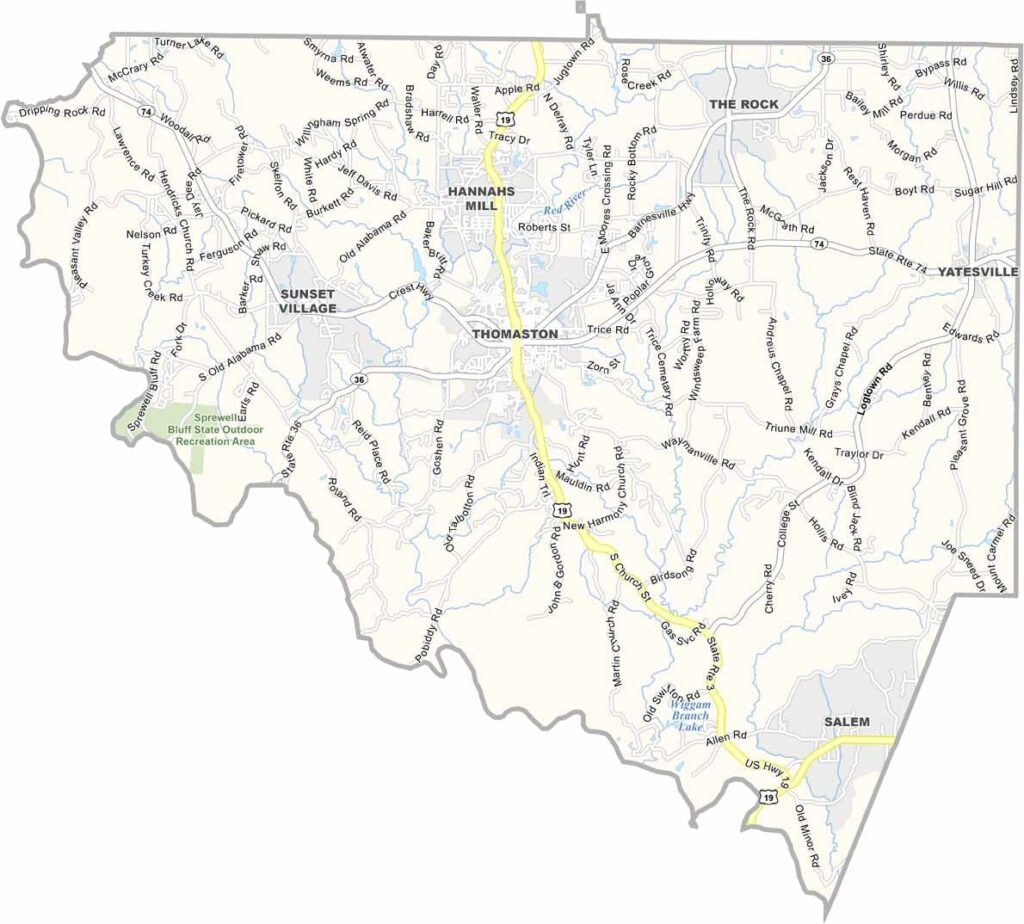
Upson County is located in west-central Georgia, about an hour south of Atlanta. Thomaston, the county seat, serves as the county’s commercial and cultural center. Once known for its thriving textile industry, Upson County has developed a more diverse economy that includes agriculture, manufacturing, and other growing industries.
The Flint River forms the county’s western border, providing excellent opportunities for fishing, kayaking, and outdoor recreation. Sprewell Bluff Park is a favorite destination for hiking, picnicking, and enjoying the scenic beauty of the river.
History enthusiasts can explore the Thomaston-Upson Archives, which preserve the county’s rich past, while families often visit the Greatest Generation Memorial Park to relax and enjoy the outdoors. With its blend of history, natural beauty, and small-town hospitality, Upson County offers an authentic central Georgia experience.