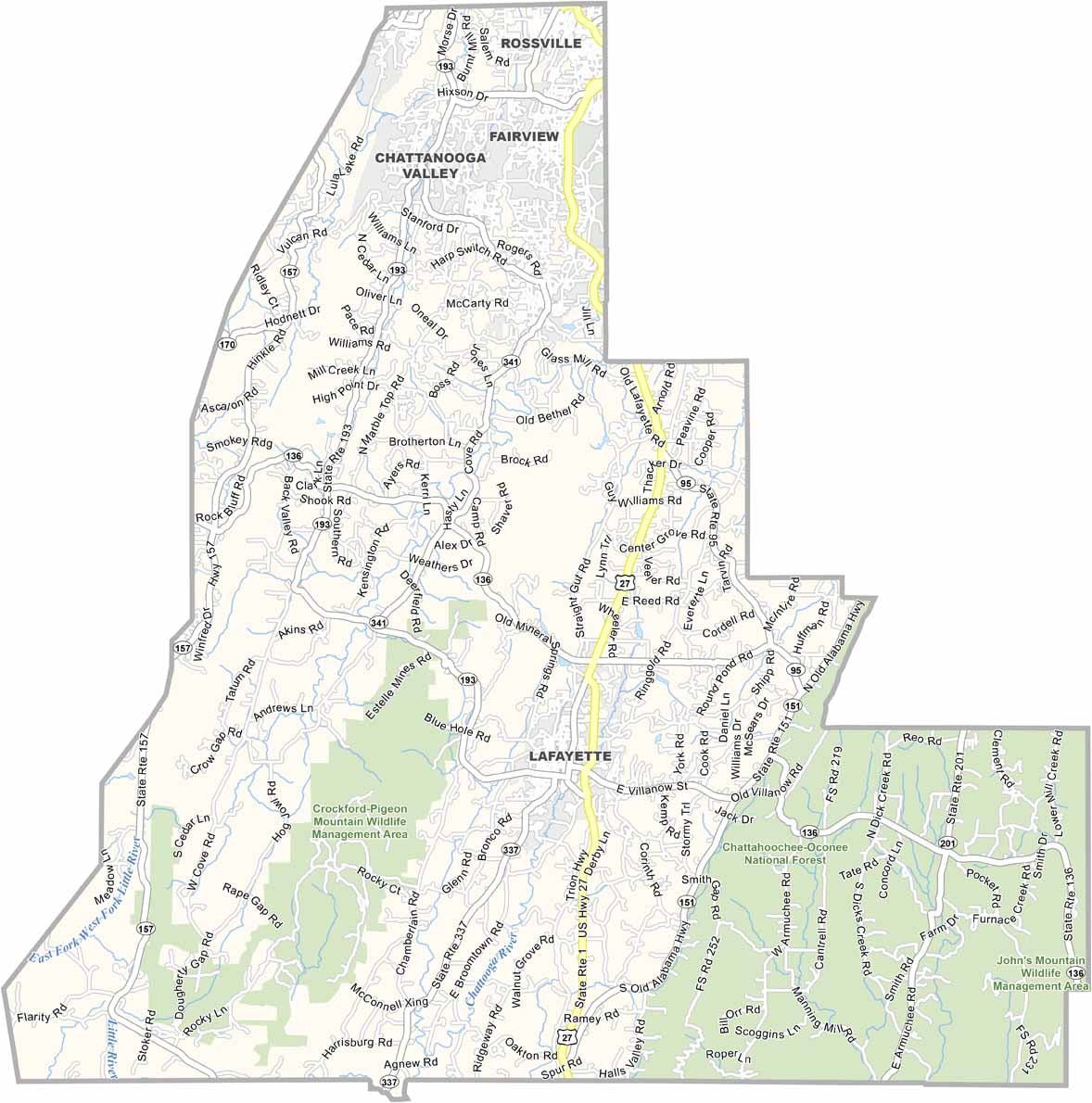
Walker County, Georgia

Walker County is located in the northwestern corner of Georgia along the Tennessee border. LaFayette, the county seat, combines small-town charm with a rich history, while the county is known for its blend of scenic mountains, outdoor recreation, and industrial heritage.

Lookout Mountain is one of Walker County’s defining landmarks, offering spectacular views and popular attractions such as Rock City. Nearby, Cloudland Canyon State Park features dramatic cliffs, waterfalls, and miles of hiking trails, making it one of Georgia’s top outdoor destinations.

History enthusiasts visit the Chickamauga Battlefield to explore one of the most significant Civil War sites in the nation. Although mining and manufacturing have long supported the local economy, tourism has become an increasingly important industry thanks to the county’s parks, mountains, and historic attractions.:::
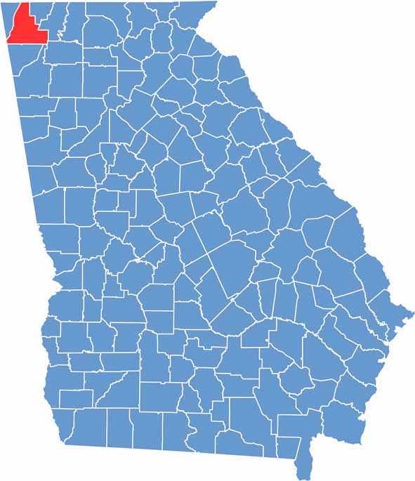

Walker Location Map showing towns, roads, and geographic features in Georgia.
Category Details
County Name Walker County
County Seat LaFayette
Cities, Towns, and Communities LaFayette (county seat), Rossville, Chickamauga, Fort Oglethorpe, and other small communities
Interstates and Highways Interstate 75, U.S. Route 27, U.S. Route 41, State Route 2
Etymology Named after Major Freeman Walker
FIPS Code 13-295
Total Area (Land and Water) 446 square miles (land: 445 sq mi, water: 1 sq mi)
Time Zone Eastern Time Zone (ET)
State Georgia
Coordinates 34.7236° N, 85.2832° W
Major Landmarks Chickamauga and Chattanooga National Military Park, Lookout Mountain, Cloudland Canyon State Park
Adjacent Counties (and Direction) Hamilton County, Tennessee (North), Catoosa County (Northeast), Whitfield County (East), Gordon County (Southeast), Floyd County (South), Chattooga County (South), DeKalb County, Alabama (Southwest), Dade County (West)
Population Approximately 76,000
Scroll to Top