Wayne County, Georgia

Warren County is located in eastern Georgia, roughly halfway between Augusta and Atlanta. Known for its peaceful rural setting, the county is centered around Warrenton, the county seat, which was named in honor of Revolutionary War hero Joseph Warren.

Outdoor recreation is a major part of life in Wayne County. The Altamaha River forms the county’s northeastern border, providing excellent opportunities for fishing, boating, kayaking, and wildlife viewing. The river’s scenic beauty makes it a favorite destination for both residents and visitors.

Timber and agriculture have long been the backbone of the local economy, with expansive pine forests and productive farmland covering much of the county. Each fall, the annual Jaycee Fair brings the community together with rides, exhibits, entertainment, and family-friendly activities, celebrating Wayne County’s strong traditions and welcoming spirit.
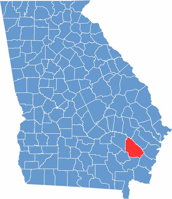

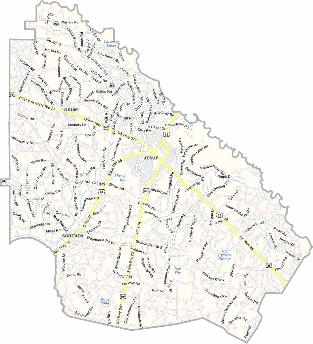
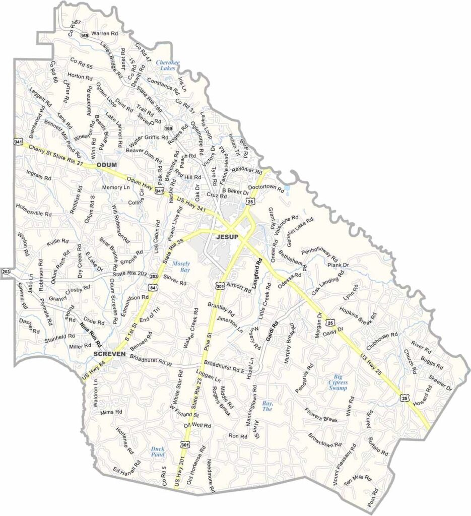
Wayne Location Map showing towns, roads, and geographic features in Georgia.
Category Details
County Name Wayne County
County Seat Jesup
Cities, Towns, and Communities Jesup (county seat), Odum, Screven, and other smaller communities
Interstates and Highways U.S. Route 1, U.S. Route 84, State Route 15, State Route 27
Etymology Named in honor of General Anthony Wayne
FIPS Code 13-305
Total Area (Land and Water) 781 square miles (land: 773 sq mi, water: 8 sq mi)
Time Zone Eastern Time Zone (ET)
State Georgia
Coordinates 31.6051° N, 81.8770° W
Major Landmarks Wayne County Courthouse, Altamaha River, Wayne County Historical Society Museum
Adjacent Counties (and Direction) Tattnall County (North), Long County (Northeast), McIntosh County (East), Glynn County (Southeast), Brantley County (South), Pierce County (Southwest), Appling County (Northwest)
Population Approximately 30,000
Scroll to Top