Barber County, Kansas

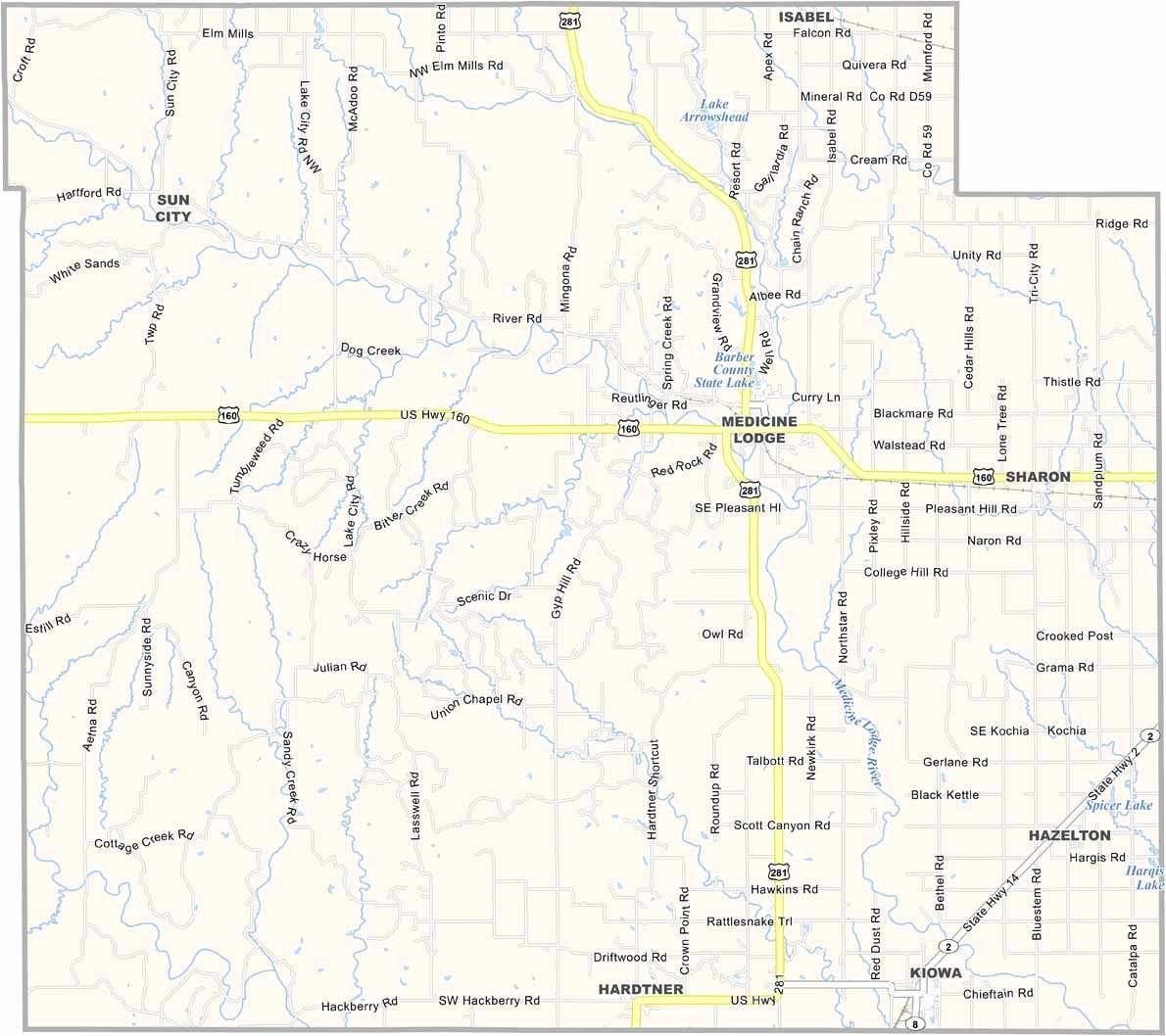
Down in south-central Kansas, Barber County is where the plains start to get interesting. Only about 4,000 people live here, but what it lacks in population, it makes up for with impressive scenery.

The Gyp Hills look like they’ve been pulled straight from a Western, with striking red buttes and mesas. If you’re into fishing, Barber State Fishing Lake is a well-kept local secret.

Every few years, Medicine Lodge puts on a huge event recreating the famous 1867 Medicine Lodge Treaty. It’s quite the spectacle. For bird enthusiasts, the rare Lesser Prairie-Chicken also calls this area home.
CategoryDetails
County NameBarber County
County SeatMedicine Lodge
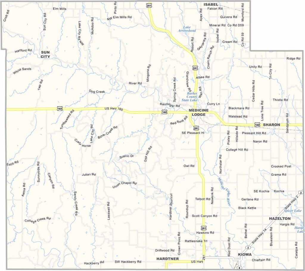
Cities, Towns, and CommunitiesMedicine Lodge, Kiowa, Isabel, and several smaller communities
Interstates and HighwaysU.S. Highway 160, U.S. Highway 281, Kansas Highway 2, Kansas Highway 96
FIPS Code20-007
Total Area (Land and Water)1,191 square miles (land: 1,188 sq mi, water: 3 sq mi)
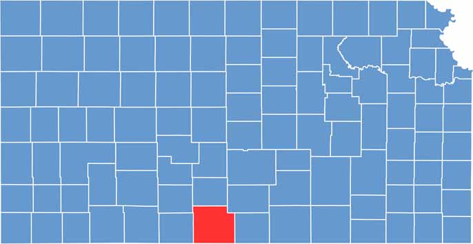
Adjacent Counties (and Direction)Pratt County (North), Kingman County (Northeast), Harper County (East), Alfalfa County, Oklahoma (Southeast), Woods County, Oklahoma (Southwest), Comanche County (West), Kiowa County (Northwest)
Time ZoneCentral Time Zone (CST)
StateKansas
Coordinates37.21°N, 98.54°W
EtymologyNamed after Thomas W. Barber
Major LandmarksMedicine Lodge Peace Treaty Site, the Kansas Native Stone Church, and the Barber County Historical Museum
Population4,000
Scroll to Top