
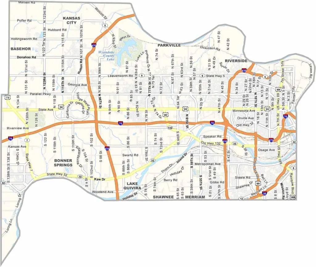
Wyandotte County is a whole different ball game compared with most of Kansas. It’s part of the Kansas City metro area, making it about as urban as Kansas gets.
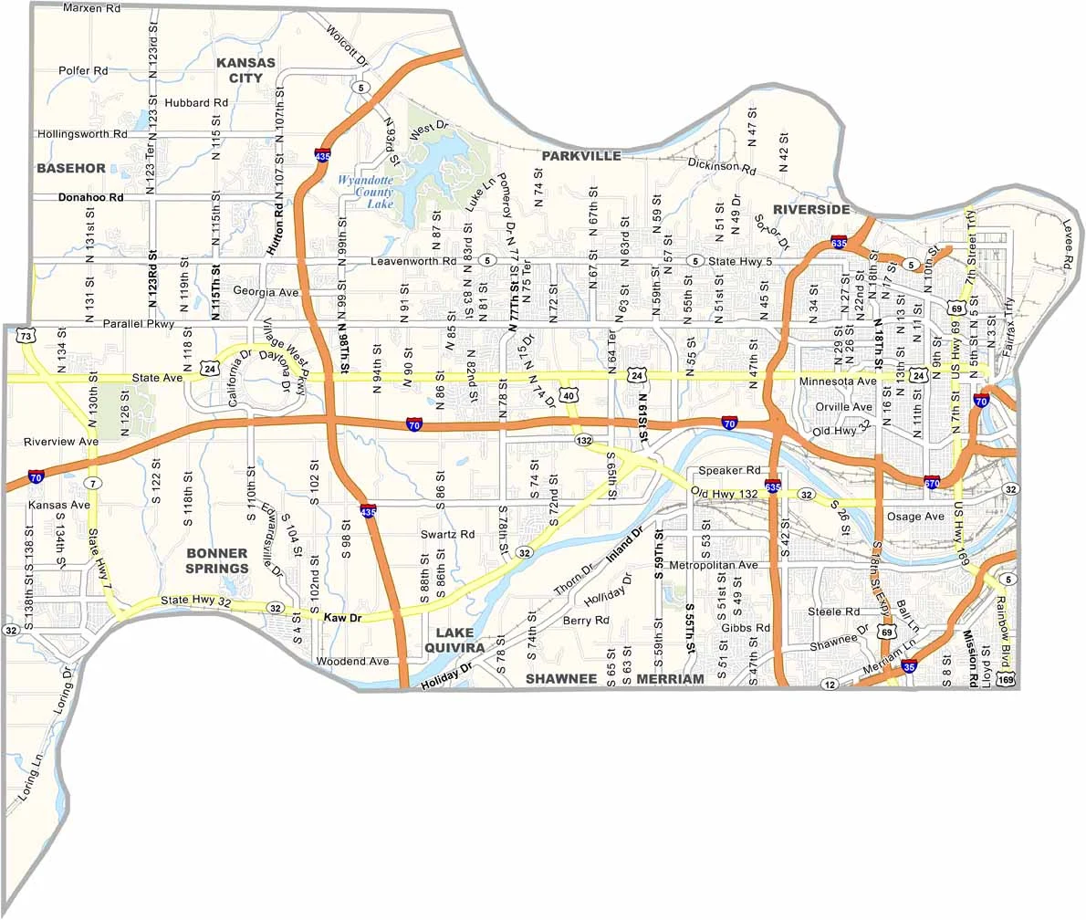
Kansas City, Kansas (KCK), is located here, along with the NASCAR track and the huge shopping area known as the Legends. The county also has a diverse population.
There’s a lot more going on here than in your typical Kansas county. It has some interesting history, especially its connection to the Underground Railroad. With more than 165,000 people living here, there’s always something happening.
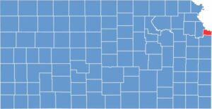
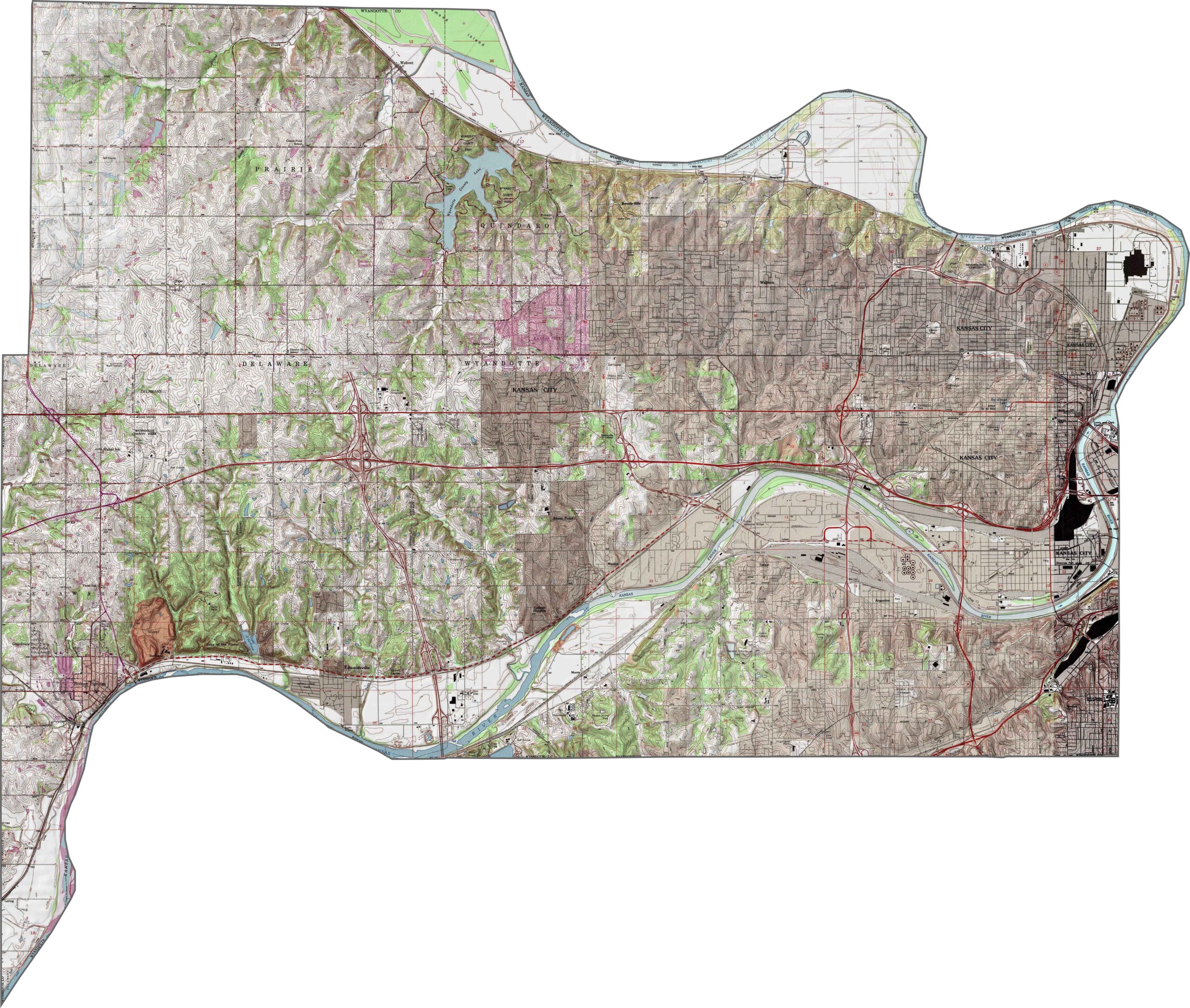
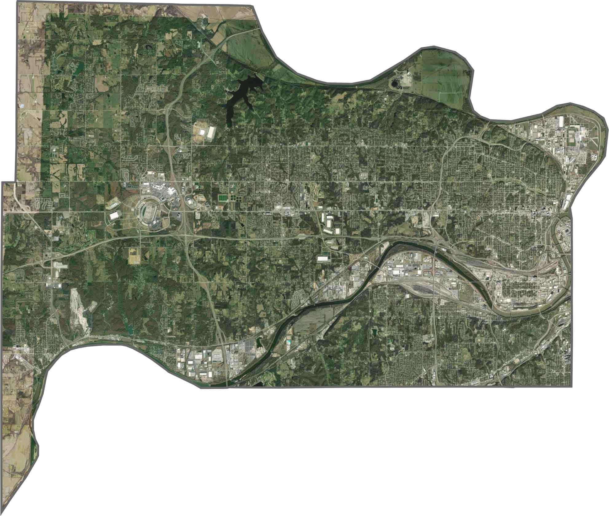
Wyandotte County sits where the Kansas and Missouri Rivers meet. Much of the land is low-lying near the rivers, while the terrain rises slightly toward the west.
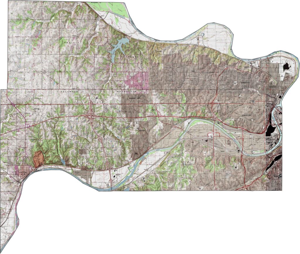
Urban development dominates the landscape, with dense blocks and industrial areas covering much of the county. Both rivers naturally stand out, while rail yards and highways cut through the land, leaving relatively little open space.
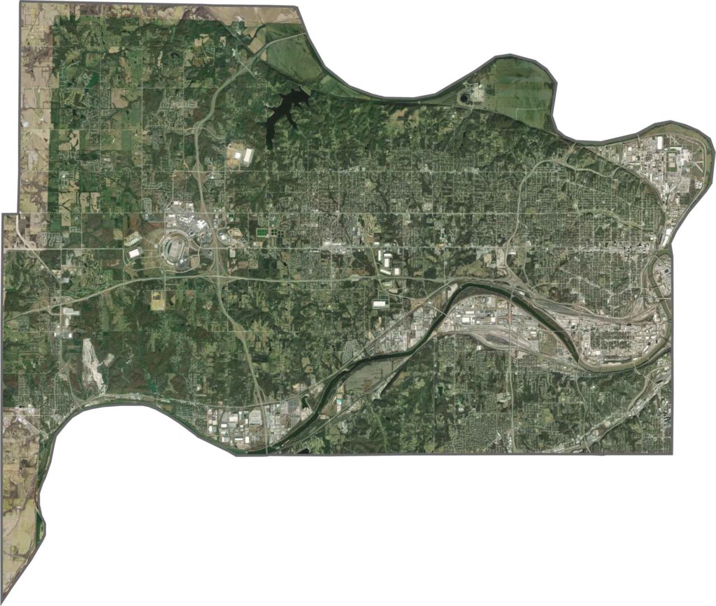
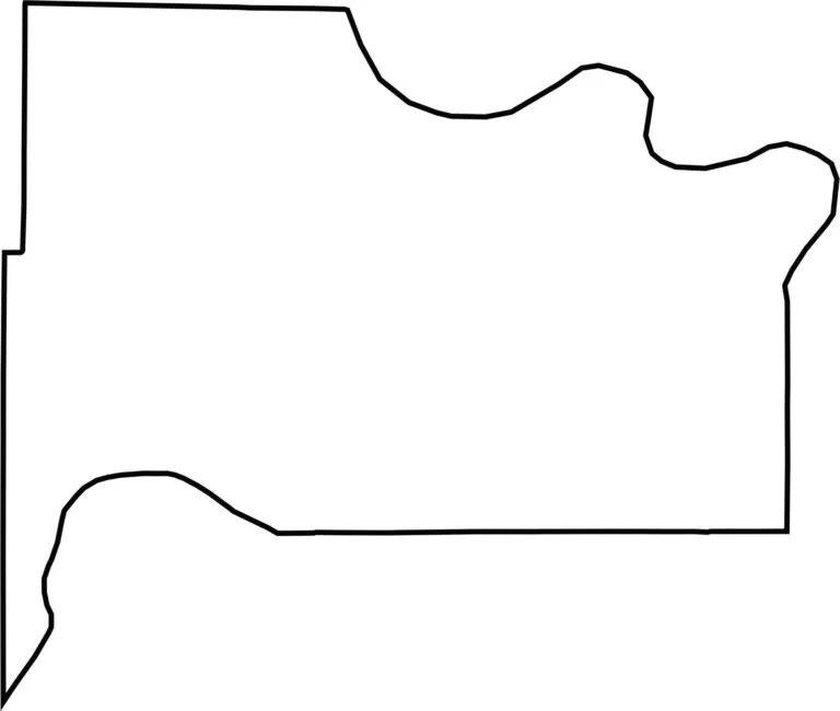
The county is compact and uneven, squeezed between rivers. The Missouri River forms its northern and eastern borders and also marks the state line with Missouri. Its shape is largely defined by the surrounding waterways.


Flat? Only to the distracted. In Kansas, the horizon isn’t the end—it’s the beginning. Slow down, listen closely, and discover the wide-open landscapes, hidden stories, and quiet charm that make the Sunflower State worth exploring. The middle of everything has plenty of stories to tell.