Decatur County, Kansas

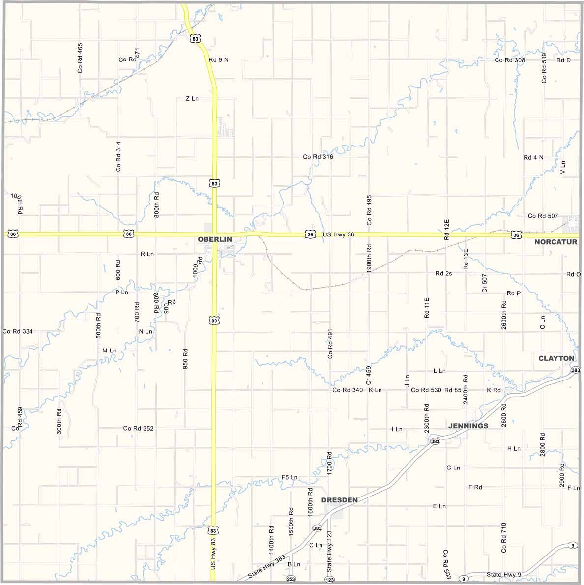
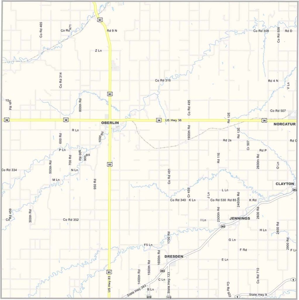
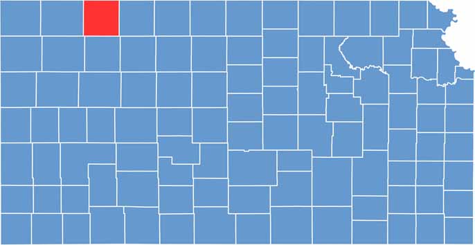
Decatur County is located in the northwestern corner of Kansas, with about 2,600 residents spread across its High Plains landscape. The county has a distinctive square shape, surrounded by wide-open rural scenery.

Oberlin, the county seat, is home to the Last Indian Raid Museum, which preserves the history of what is recognized as the last Native American raid in Kansas. The museum offers visitors an opportunity to learn more about the region’s frontier-era history.

Geology enthusiasts can explore the county’s striking chalk badlands, which add rugged formations to the surrounding plains. Just east of the county, Prairie Dog State Park provides opportunities to see prairie dogs in their natural habitat while enjoying the area’s scenic outdoor landscapes.
CategoryDetails
County NameDecatur County
County SeatOberlin
EtymologyNamed after Stephen Decatur, naval commodore and War of 1812 hero
Cities, Towns, and CommunitiesOberlin, Lenora, and several smaller communities
Interstates and HighwaysU.S. Highway 36, Kansas Highway 27
FIPS Code20-039
Total Area (Land and Water)2,300 square miles (land: 2,297 sq mi, water: 3 sq mi)
Adjacent Counties (and Direction)Red Willow County, Nebraska (North), Furnas County, Nebraska (Northeast), Norton County (East), Sheridan County (South), Thomas County (Southwest), Rawlins County (West)
Time ZoneCentral Time Zone (CST)
StateKansas
Coordinates39.83°N, 101.28°W
Major LandmarksDecatur County Historical Society Museum, Kansas State Line Monument
Population2,600
Scroll to Top