Neosho County, Kansas

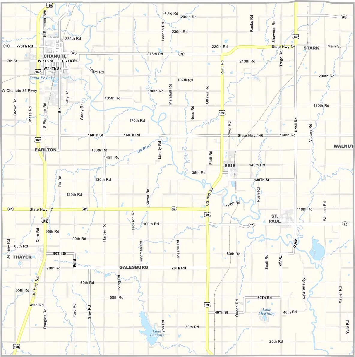
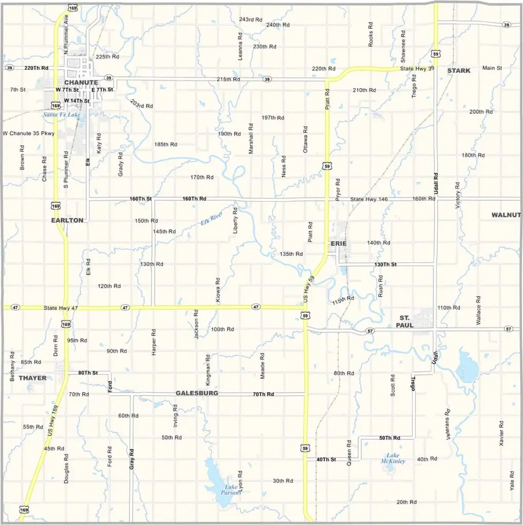
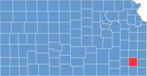
Neosho County is located in southeastern Kansas. Erie, the county seat, is a small town with a big heart. U.S. Highway 59 and U.S. Highway 169 run parallel to each other through the area.

The Neosho River flows through the county, which is how the area got its name. If you’re a fan of the outdoors, be sure to check out Lake Parsons.

The county offers a mix of small-town life and rural living. If you’re looking for a quiet place with a touch of college-town energy, Neosho County could be a good fit.
CategoryDetails
County NameNeosho County
County SeatErie
EtymologyNamed after the Neosho River, which in turn is named from the Osage language meaning “clear water.”
Cities, Towns, and CommunitiesChanute, Erie, St. Paul, and several smaller communities
Interstates and HighwaysU.S. Highway 59, U.S. Highway 400, Kansas Highway 39
FIPS Code20-133
Total Area (Land and Water)1,181 square miles (land: 1,174 sq mi, water: 7 sq mi)
Adjacent Counties (and Direction)Allen County (North), Bourbon County (Northeast), Crawford County (East), Labette County (South), Montgomery County (Southwest), Wilson County (West), Woodson County (Northwest)
Time ZoneCentral Time Zone (CST)
Population16,000
StateKansas
Coordinates37.68°N, 95.43°W
Major LandmarksChanute Historical Museum, Little House on the Prairie Museum, and Neosho River
Scroll to Top