
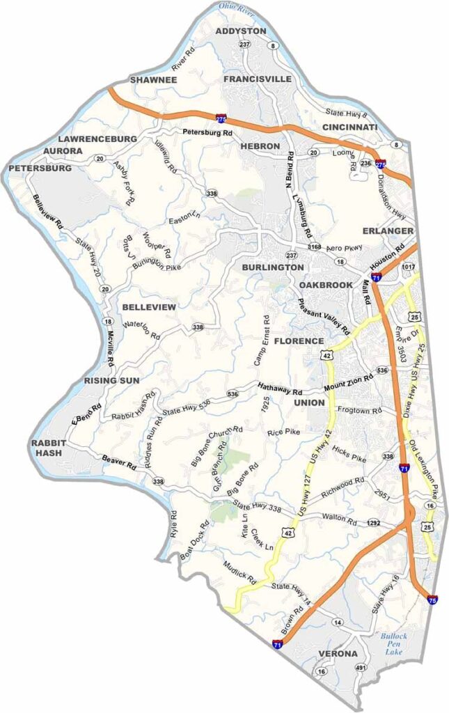
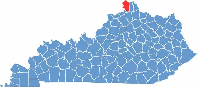
Boone County is located in northern Kentucky, directly across the Ohio River from Cincinnati. It’s one of the state’s fastest-growing counties, with a population of around 130,000 residents.
Burlington serves as the county seat, while Florence is the largest city. The Cincinnati/Northern Kentucky International Airport is located here, keeping the skies and surrounding area busy. Horse racing fans can also visit Turfway Park for live racing.
Big Bone Lick State Park is another popular attraction, featuring fascinating mammoth fossils and exhibits. As part of the Cincinnati metropolitan area, Boone County offers plenty of activities and amenities. The county is, of course, named after legendary frontiersman Daniel Boone.
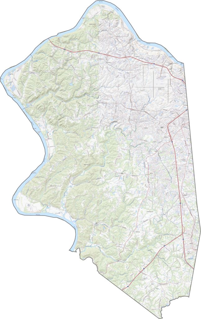
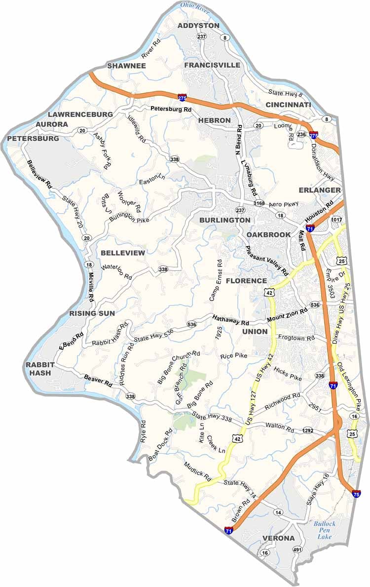
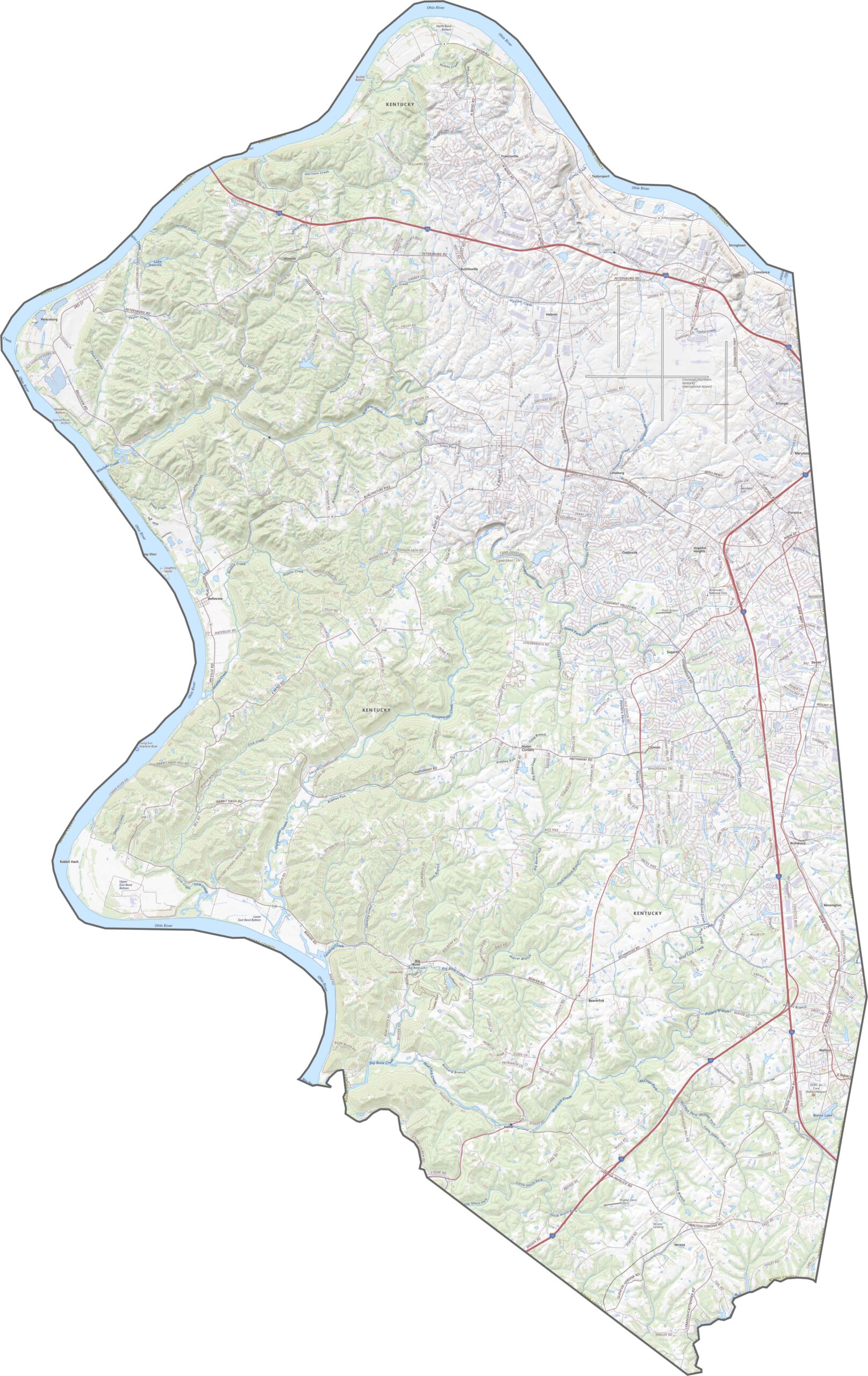
Boone County’s road network ranges from suburban streets to quiet rural roads and winding country routes. While many local roads are narrow and curving, major highways such as Interstate 75 and Interstate 71 provide convenient connections to Cincinnati to the northeast. Use our interactive zoom tool below to explore the county’s routes and transportation network in greater detail.
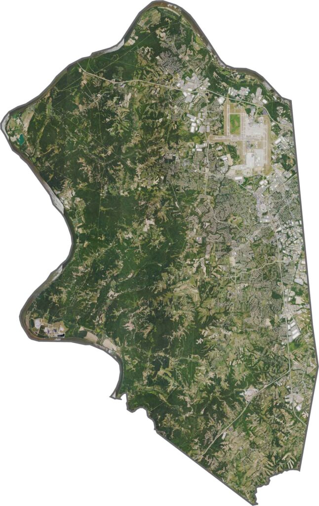
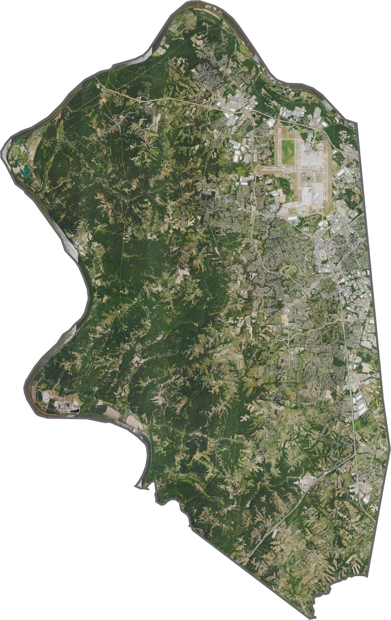
From above, Boone County features a mix of green farmland, open fields, and residential subdivisions. The Cincinnati/Northern Kentucky International Airport is a prominent feature, while the Ohio River curves along the northern edge of the county. Development is particularly concentrated around Florence, with stretches of farmland separating and surrounding the more developed areas.
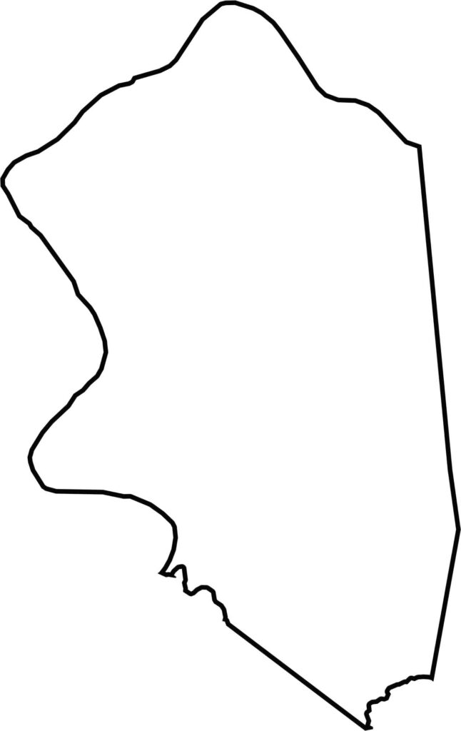
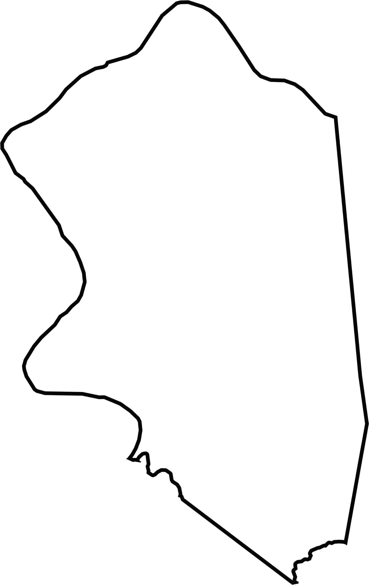
The Boone County outline has an irregular shape that extends westward like a bent arm. The Ohio River forms the county’s northern border, separating it from Ohio. To the south, Boone County borders Grant County and Gallatin County, while its western edge reaches the Indiana state line.
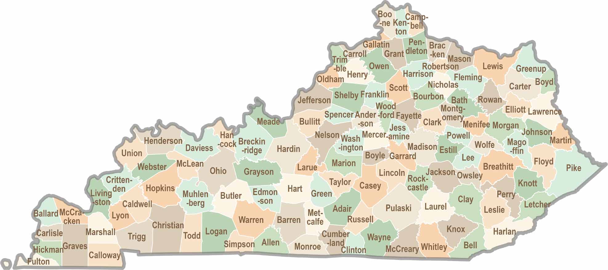
Kentucky isn’t just about bluegrass and bourbon. It’s a state where towering forests, rolling landscapes, and rich local stories come together. Explore the state in greater detail and find your way with one of our Kentucky County Map