
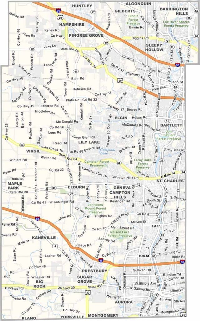
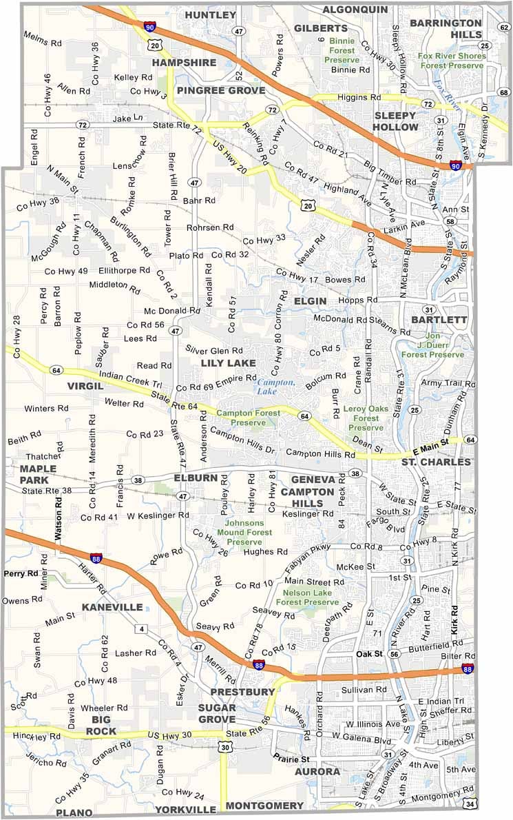
Kane County stretches west from Chicago’s suburbs, blending urban sprawl with farmland. Aurora and Elgin are the big cities, old river towns that have been absorbed into the metro area. Geneva, however, is the county seat.
The Fox River runs through the middle of the county, lined with old factories that have been turned into loft apartments. You’ve got a bit of everything here, including crowded subdivisions, quiet farms, and forest preserves.
It’s a diverse place. You’ll hear a dozen languages at the local Walmart. Traffic is a nightmare during rush hour, but on a summer evening, you can still find a quiet spot along the river. And don’t forget, you’re less than an hour from downtown Chicago.
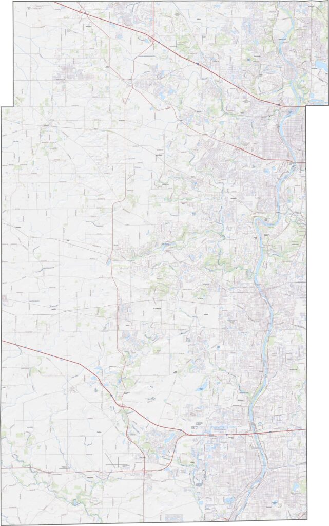
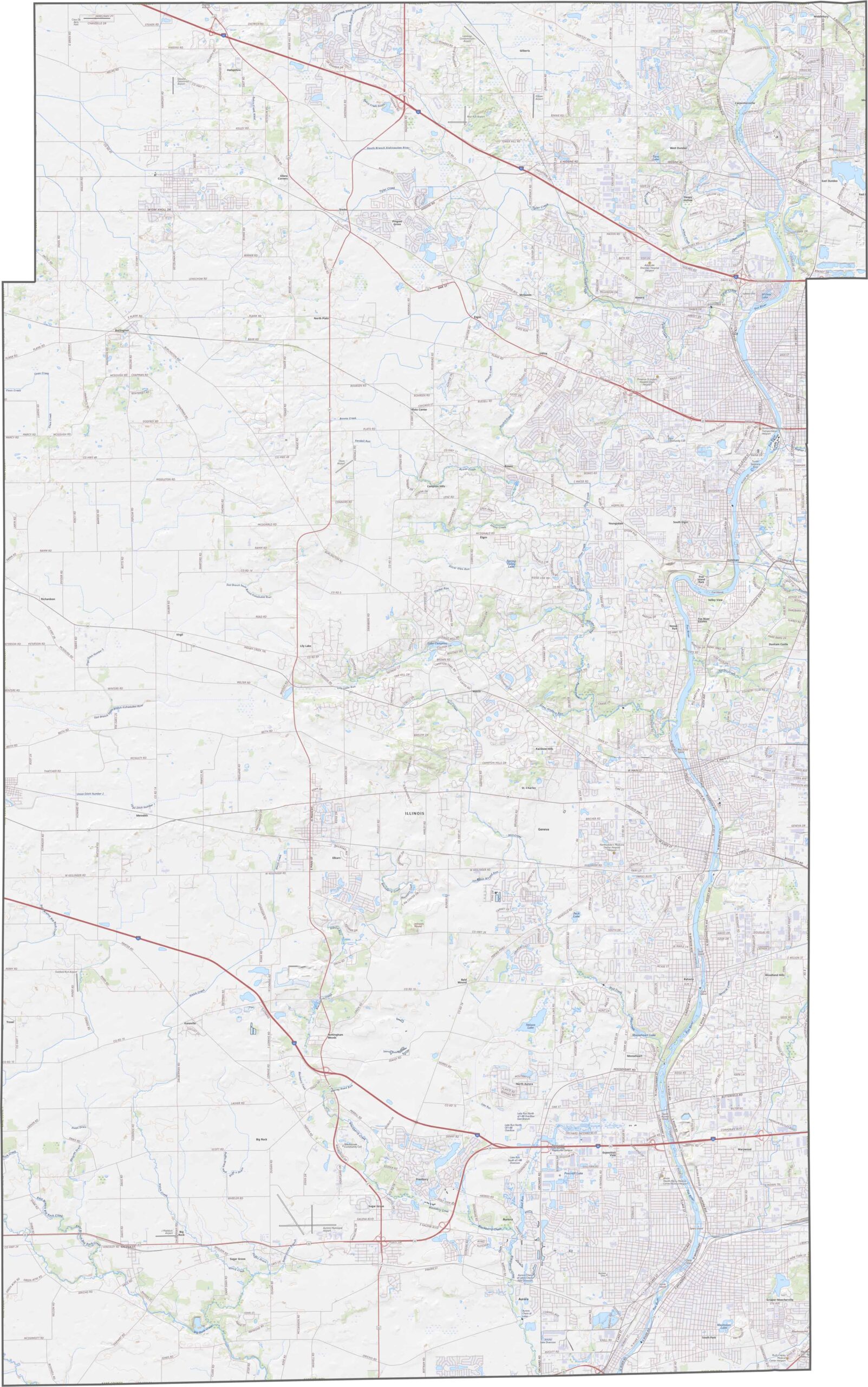
Kane County features flat plains in the east and gently rolling hills in the west. The Fox River runs through the center of the county. Check our zoom tool for a closer look at the map.
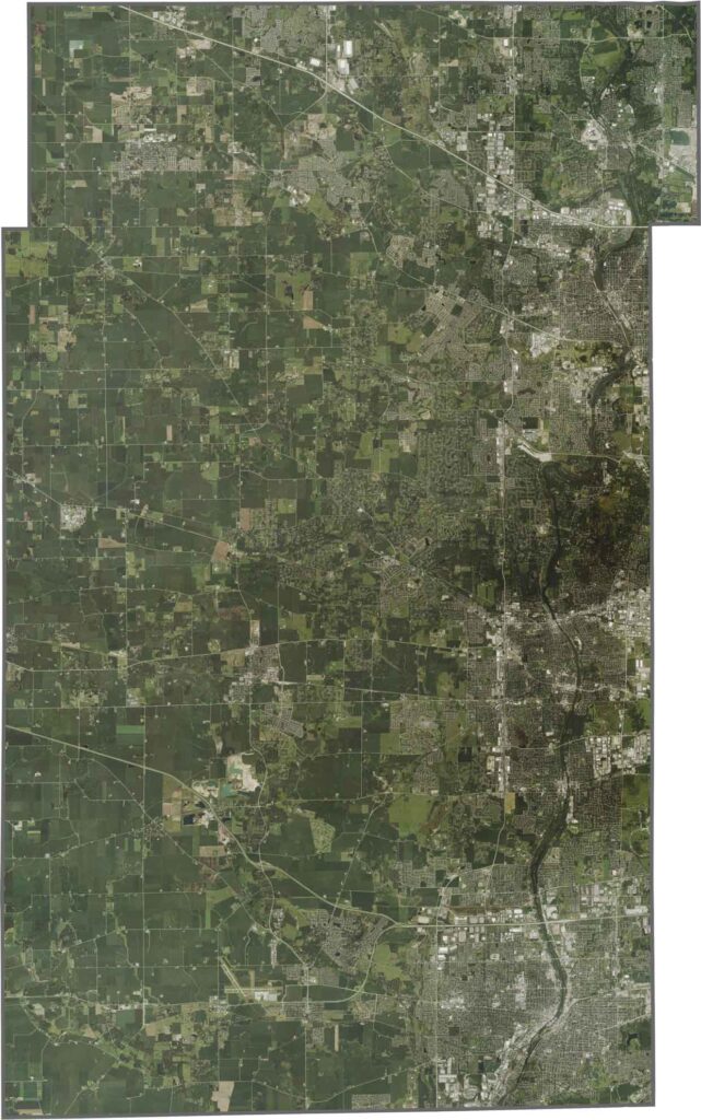
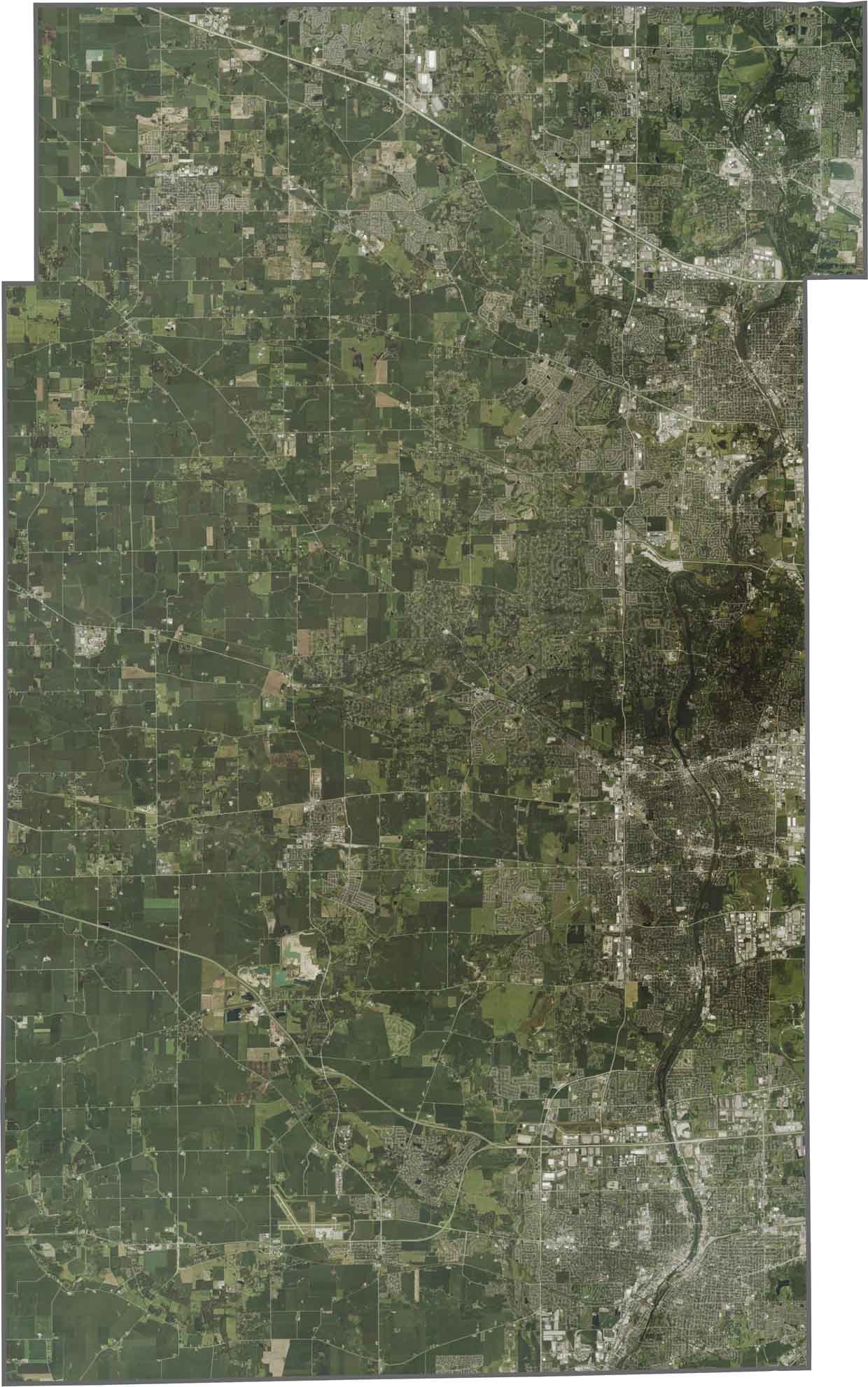
Our satellite map shows a mix of cities like Aurora and Elgin along with farmland. The Fox River is a clear dividing line, with more urbanization to the east and open fields to the west. Major roads like I-90 cut across the county.
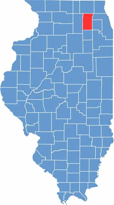
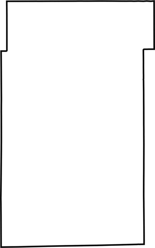
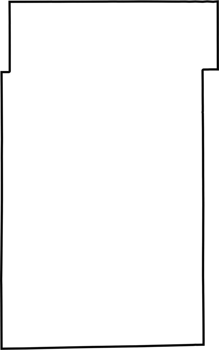
Kane County has a rectangular shape. It’s situated in northeastern Illinois, near Wisconsin.






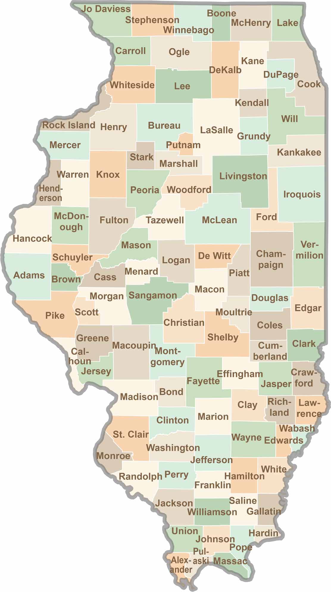
Ready to explore Illinois? Discover counties full of surprises, from the energy of Chicago and Cook County to the quiet beauty of Shawnee National Forest. Explore rich history, farmland, natural scenery, and small-town charm with our Illinois county map. Find your next adventure and discover all that Illinois has to offer.