
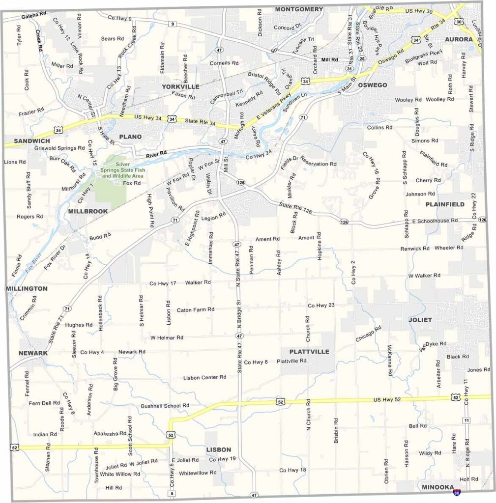
Kendall County is the poster child for Chicago’s expanding suburbs. It was the fastest-growing county in the U.S. for a while, with cornfields giving way to subdivisions at breakneck speed.
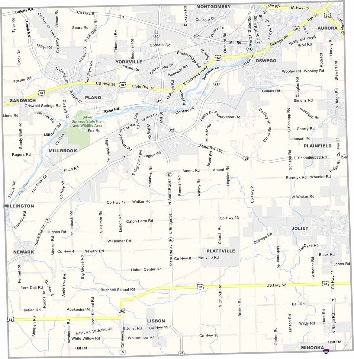
Yorkville is the county seat, while Oswego and Plano are growing fast too. The Fox River cuts through the county, offering some green space among all the sprawl. You’ve still got farms out west, but for how long is anyone’s guess.
Traffic is getting worse every year as more people move in. The schools are good, which is why young families keep coming. The Farnsworth House, a famous glass box of a building, sits along the Fox River. Winters are typical Chicago brutal.
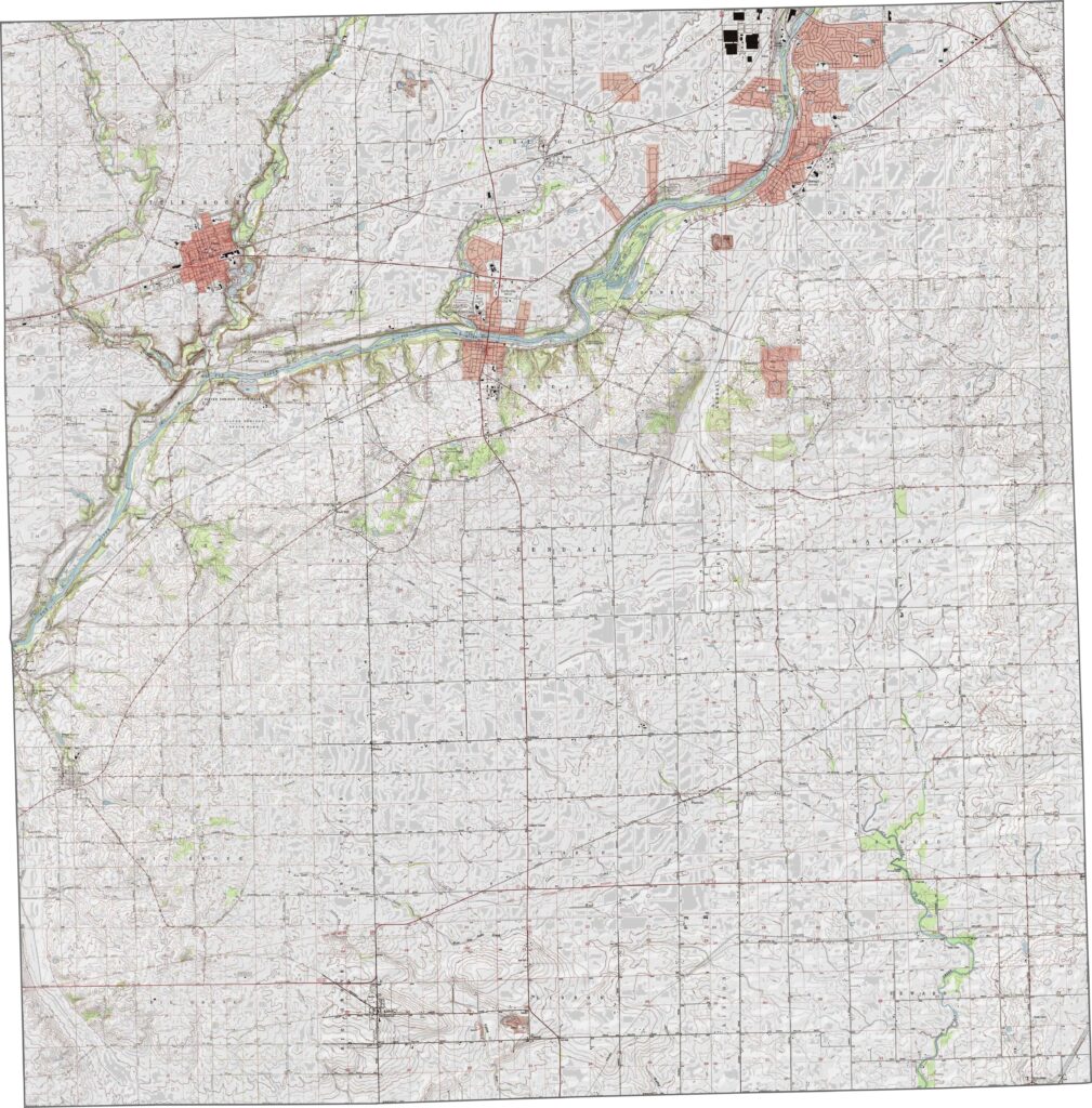
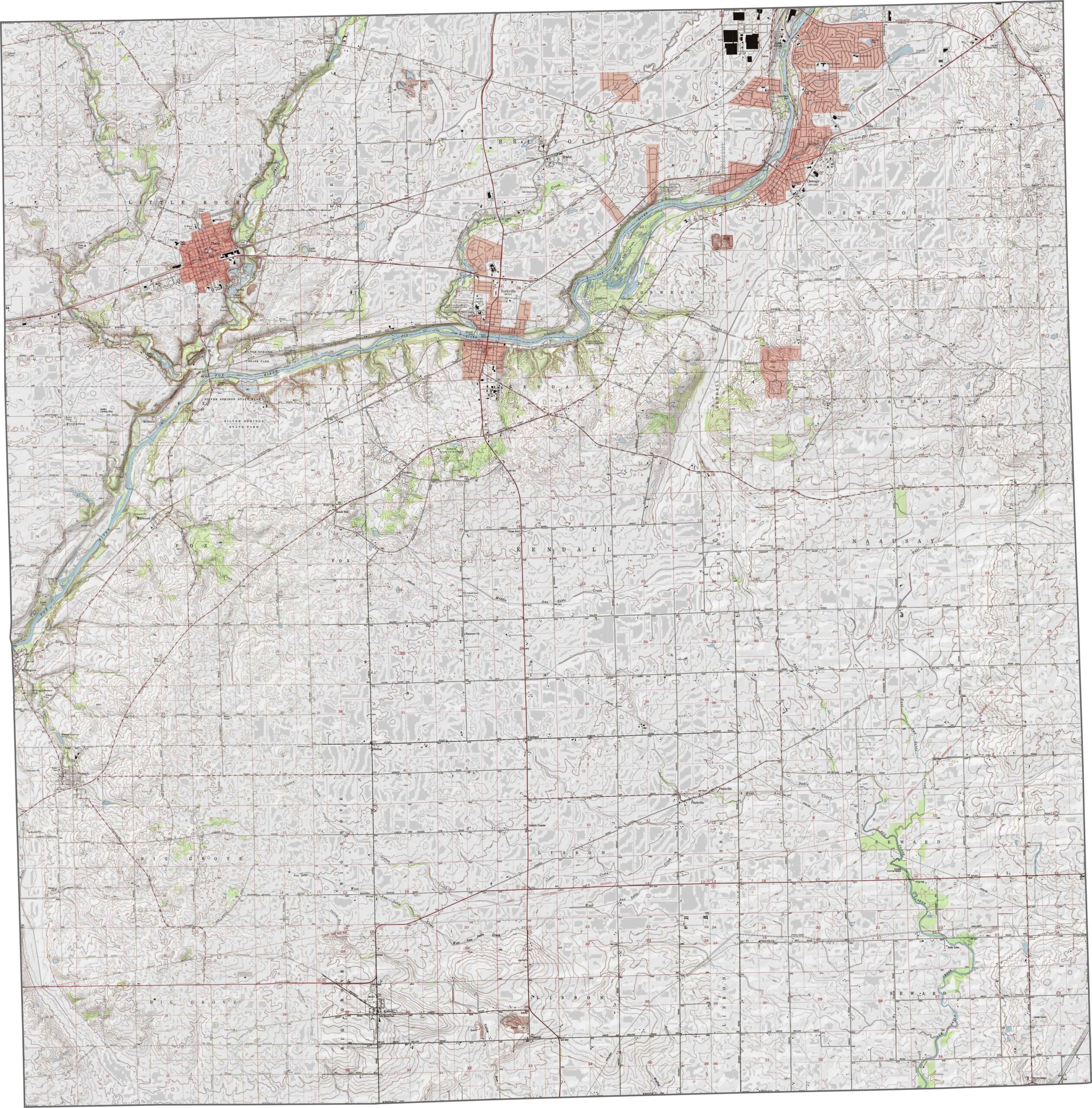
Kendall County is mostly flat, with some slight elevation changes. As you can see below, the Fox River runs diagonally along its western side. Explore the terrain with our zoom tool.
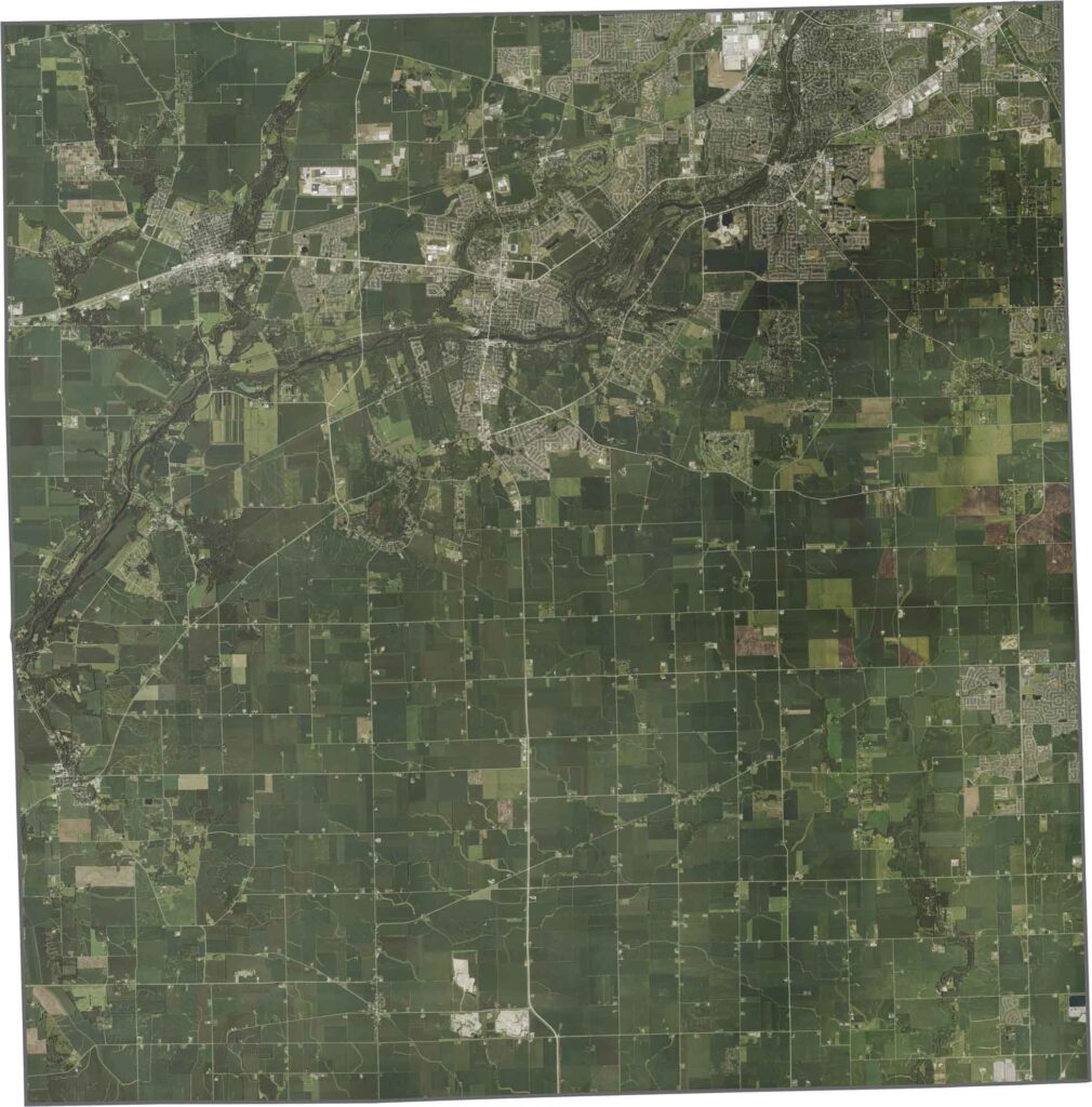
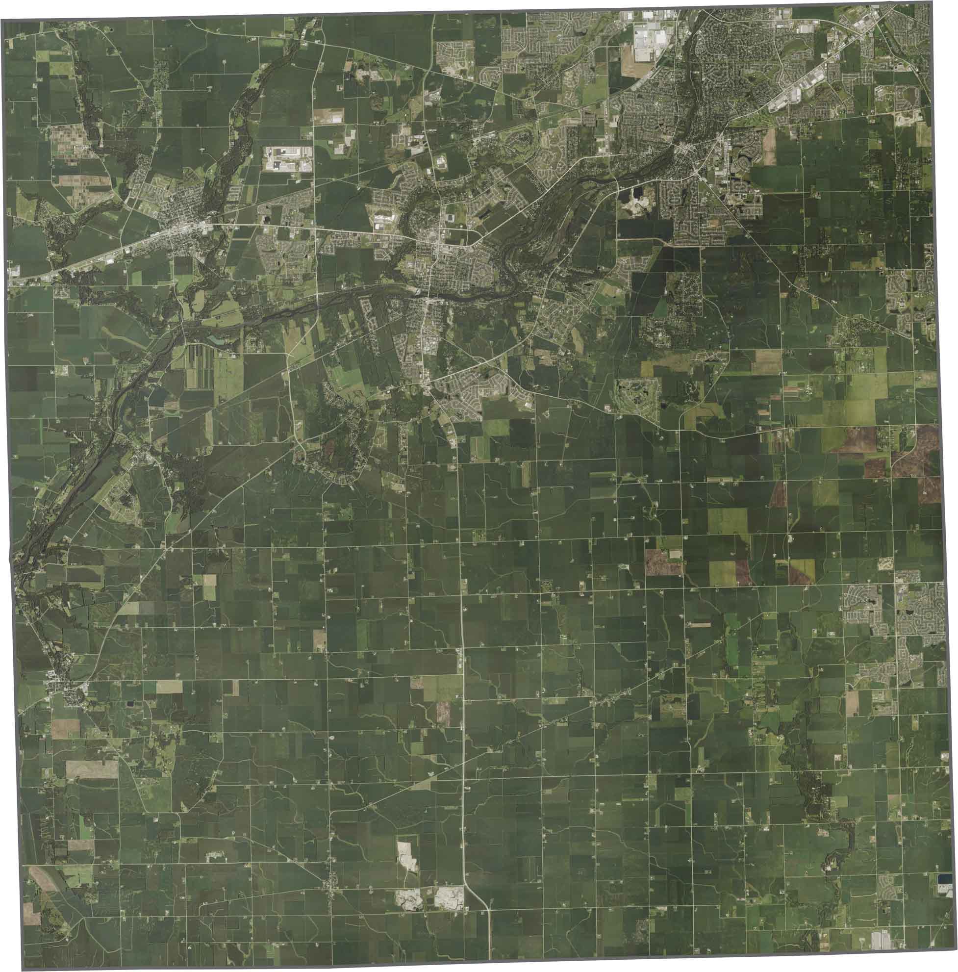
Our satellite map shows a mix of farmland and growing suburbs. The Fox River is a key feature, with development concentrated near it. Highways like U.S. Highway 34 and U.S. Highway 30 run east-west.
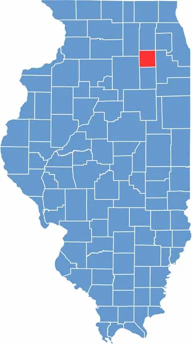
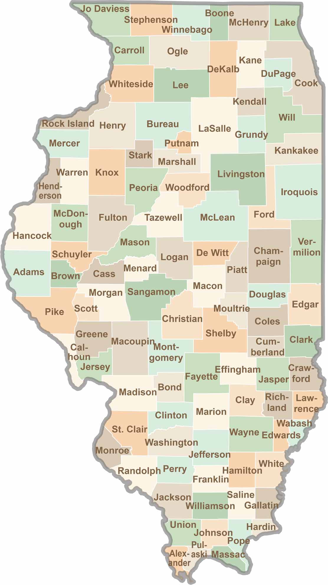
The county is basically one big rectangle. It does not border another state and sits in northeastern Illinois.








Ready to explore Illinois? Discover counties full of surprises, from the energy of Chicago and Cook County to the quiet beauty of Shawnee National Forest. Explore rich history, farmland, natural scenery, and small-town charm with our Illinois county map. Find your next adventure and discover all that Illinois has to offer.