
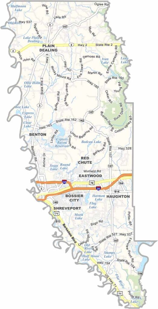
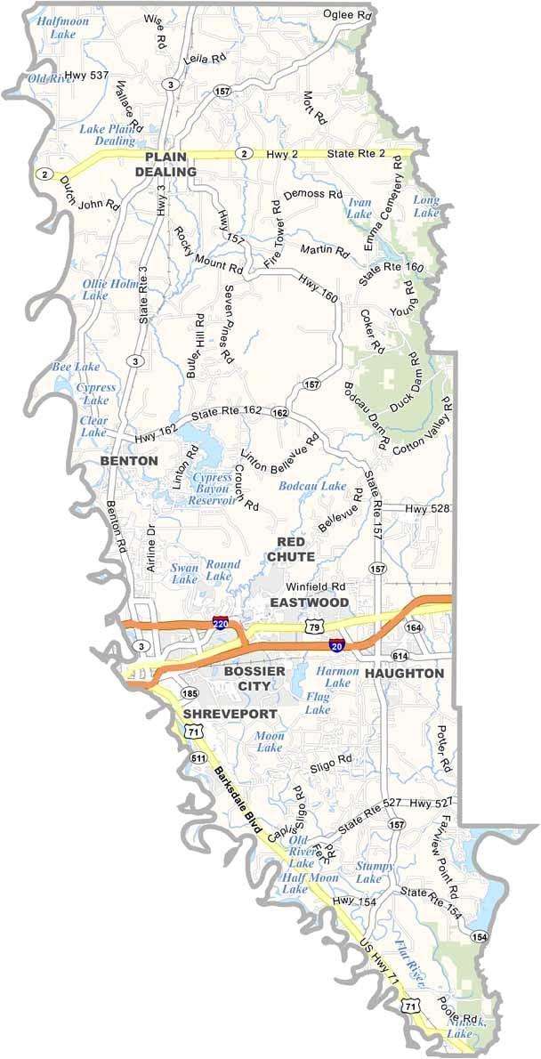
Bossier Parish sits in northwestern Louisiana, directly across the Red River from Shreveport. The parish blends historic communities with modern development, with Benton serving as the parish seat.
Bossier City, the parish’s largest community, has grown from a quiet suburb into a busy center for casinos, entertainment, shopping, and tourism. Yet just a few miles beyond the developed areas, the landscape quickly gives way to open farmland and rural countryside.
The parish has strong military connections through Barksdale Air Force Base, home to the U.S. Air Force’s B-52 bomber fleet. Visitors may occasionally see these large aircraft flying overhead. The Red River forms much of Bossier Parish’s western boundary, separating it from the Shreveport area.
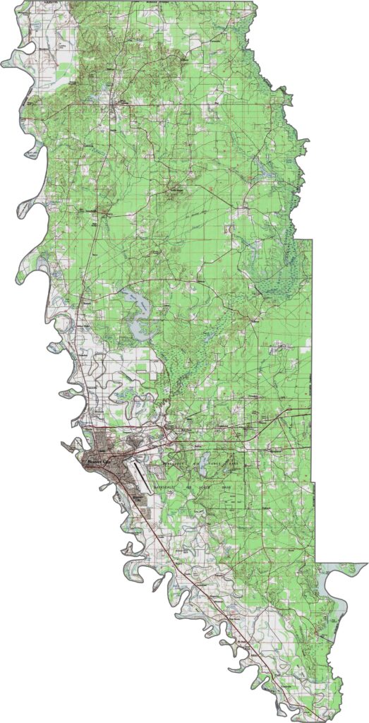
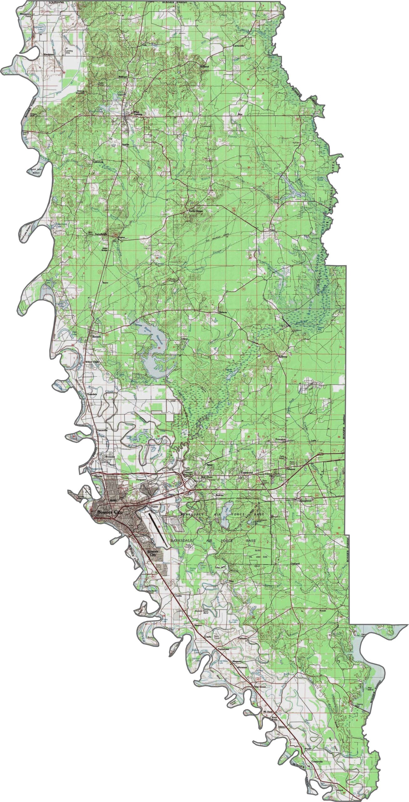
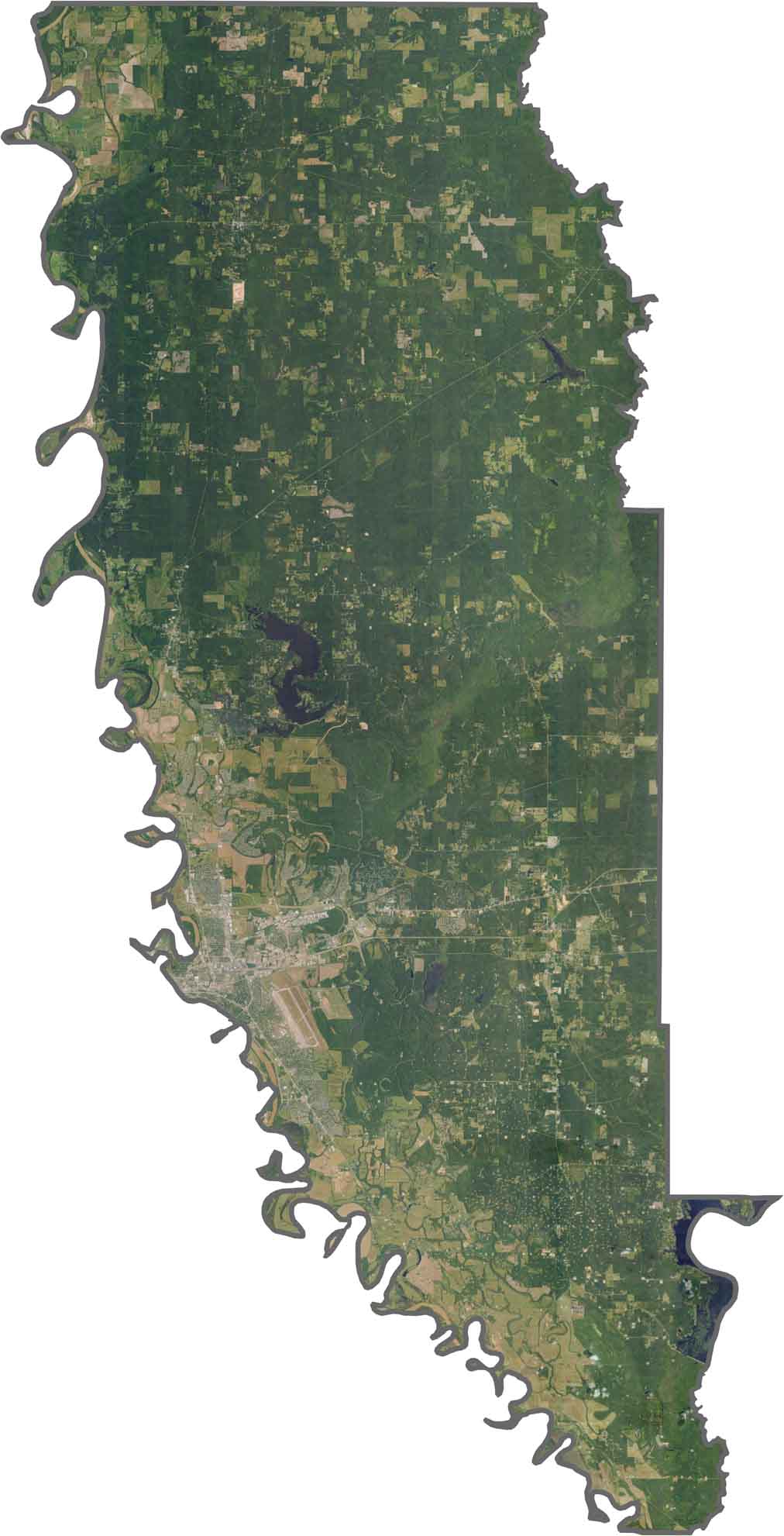
Bossier Parish’s terrain gently rolls between river valleys and pine-covered uplands. The Red River floodplain forms the lowest part of the landscape, while sandy ridges rise toward the north. Although the parish is mostly flat, subtle slopes help guide drainage toward the river. Use our zoom tool to explore these landscape details.
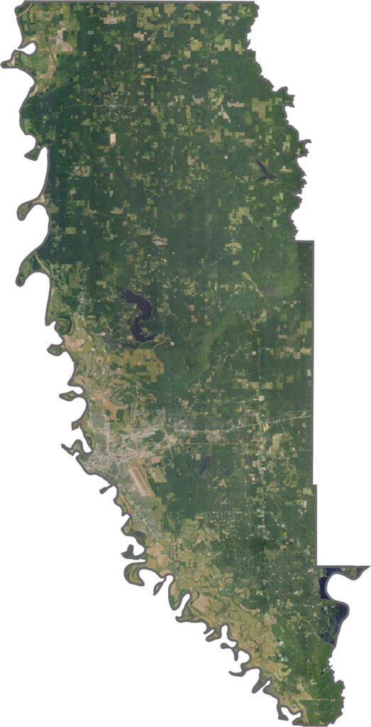
The Red River shapes much of the parish’s landscape. Farmland and patches of pine forest spread across the countryside, while Barksdale Air Force Base stands out near Bossier City. Unlike the wetter southern parishes of Louisiana, swamps are relatively rare here, giving the area a distinctly different character.
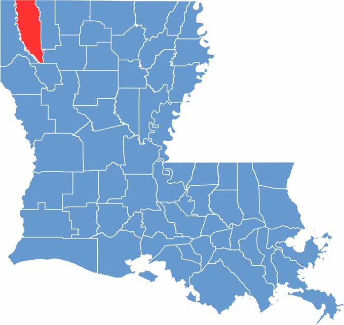
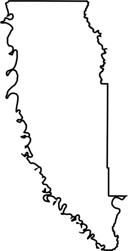
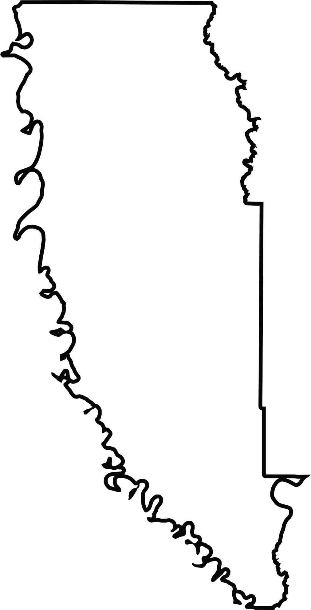
Bossier Parish stretches in an elongated north-south shape, with the Red River curving along its western boundary. It borders Arkansas to the north, while Caddo Parish and Webster Parish form much of its Louisiana boundaries.






In Louisiana, you’ll taste the spirit of the state in its hot sauce and hear it in the midnight blues. Laissez les bon temps rouler! Explore our Louisiana parish maps to discover the state’s unique communities, winding bayous, and rich landscapes. Come for the beignets. Stay for the bayou.