
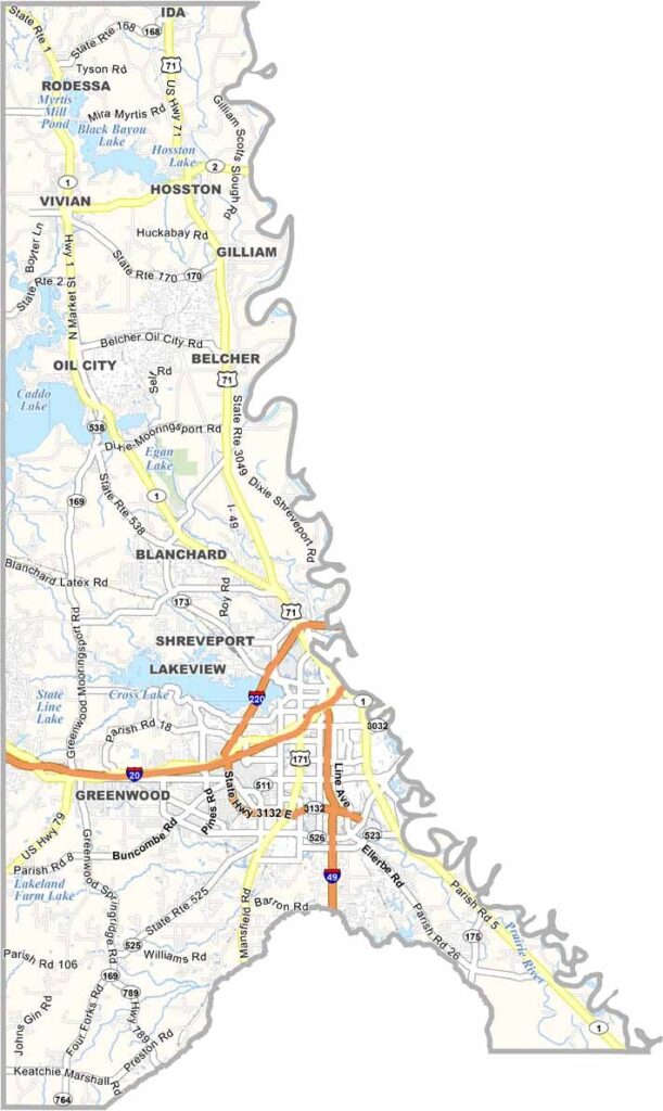
Caddo Parish sits in the northwestern corner of Louisiana, where the state meets Texas and Arkansas. Shreveport, the parish seat, serves as the region’s major economic and cultural hub, with a diverse mix of businesses, entertainment, and attractions.
The Red River flows through the parish, shaping both the landscape and local life. Nearby Caddo Lake offers a unique natural setting, with winding waterways, towering cypress trees, and abundant wildlife creating a scenic destination for fishing, boating, and exploration.
Food is also an important part of life in Caddo Parish, with Southern and Cajun-inspired cuisine featured throughout the area. The parish takes its name from the Caddo people, the Native American communities who historically inhabited this region.
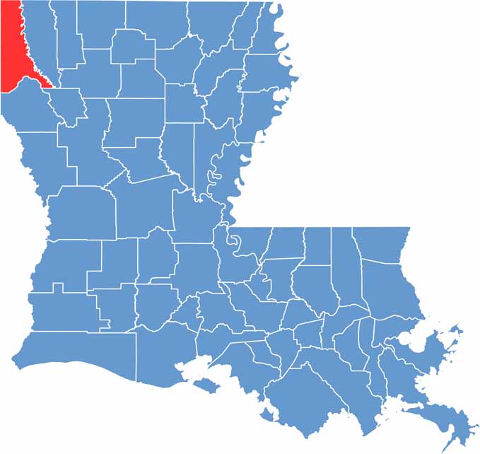
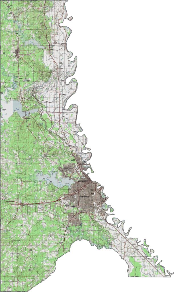
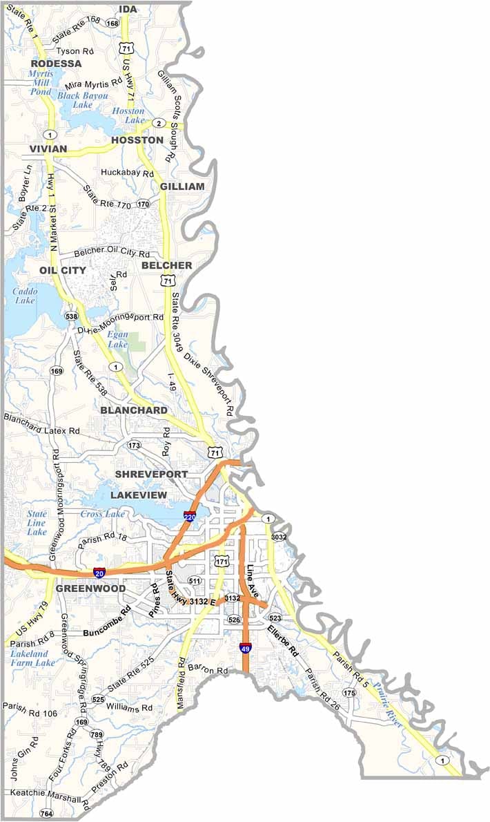
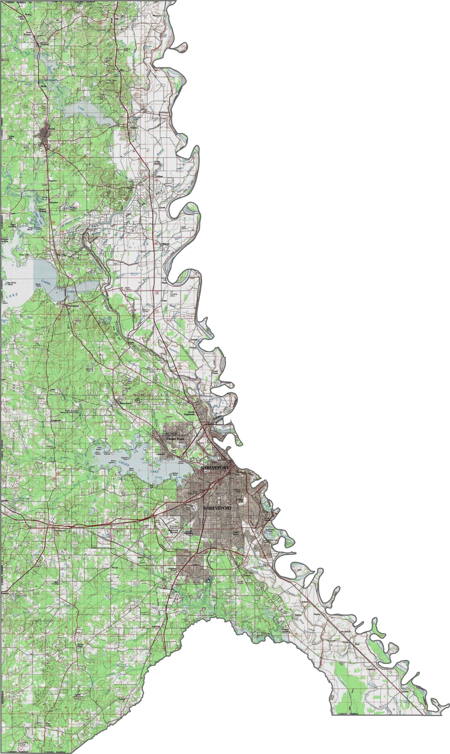
Caddo Parish contrasts wetlands with gently rolling hills across its landscape. Use our zoom tool to explore the area, spot changes in elevation, and follow the major highways that connect its communities.
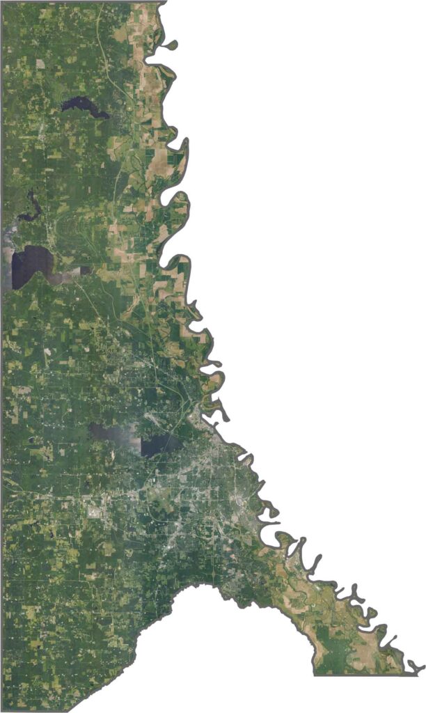
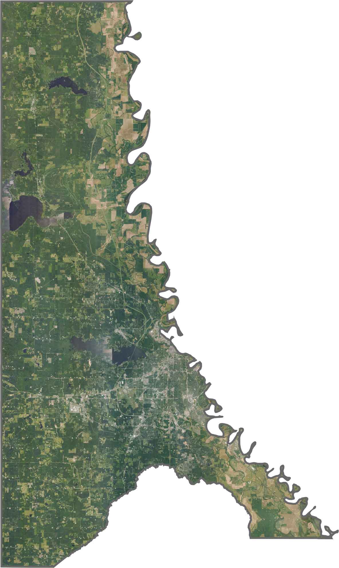
Waterways define much of the parish, with Caddo Lake and the Red River creating a network of channels and wetlands. Shreveport stands out with its extensive urban development, while forests become denser toward Texas and industrial areas cluster around major highways.
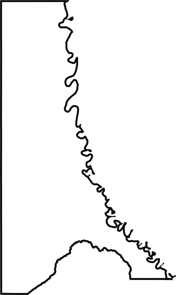
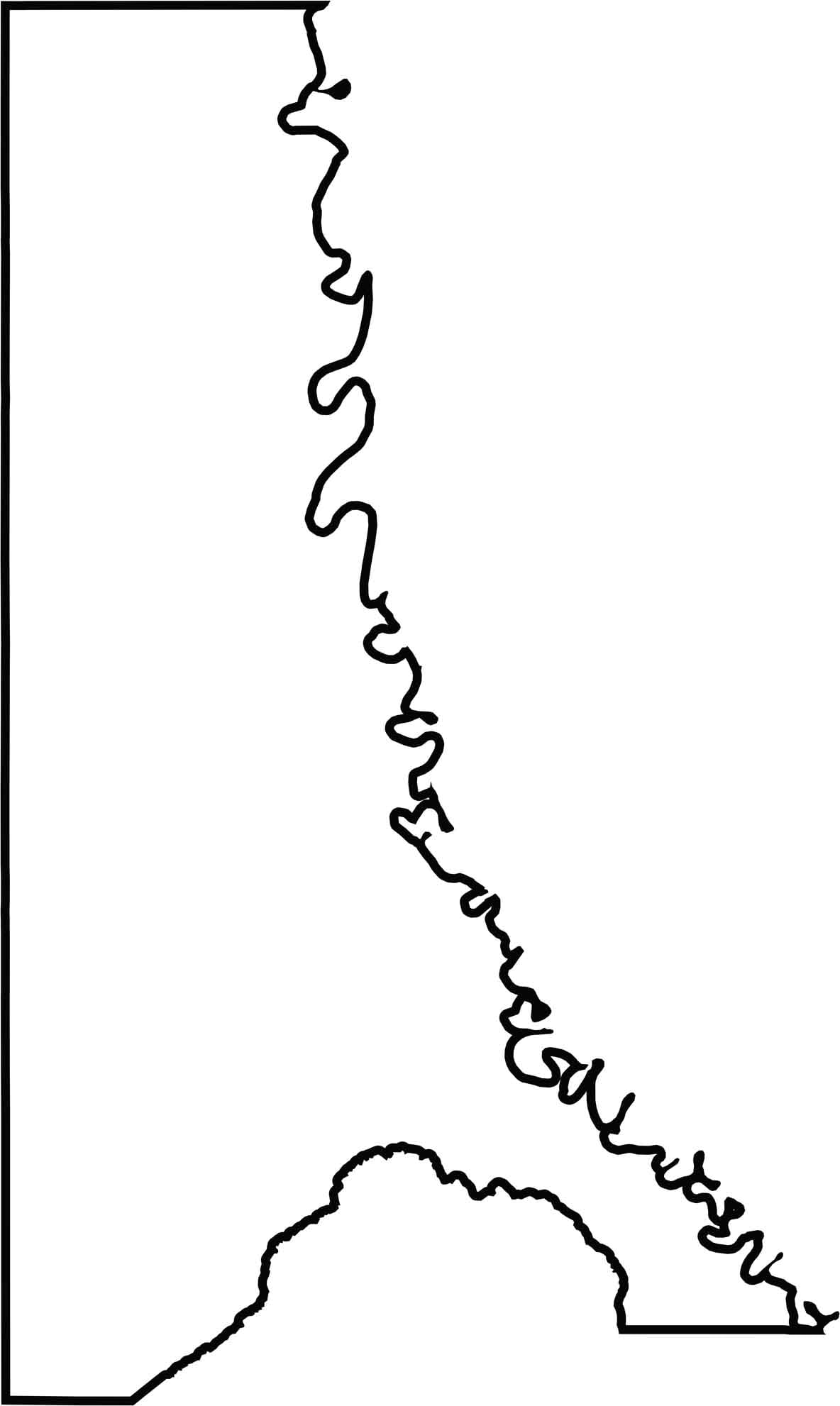
Caddo Parish extends toward both Texas and Arkansas, giving it a distinctive position in the northwestern corner of Louisiana. The Red River helps define its eastern side, while Cypress Bayou shapes portions of its southern boundary.






In Louisiana, you’ll taste the spirit of the state in its hot sauce and hear it in the midnight blues. Laissez les bon temps rouler! Explore our Louisiana parish maps to discover the state’s unique communities, winding bayous, and rich landscapes. Come for the beignets. Stay for the bayou.