
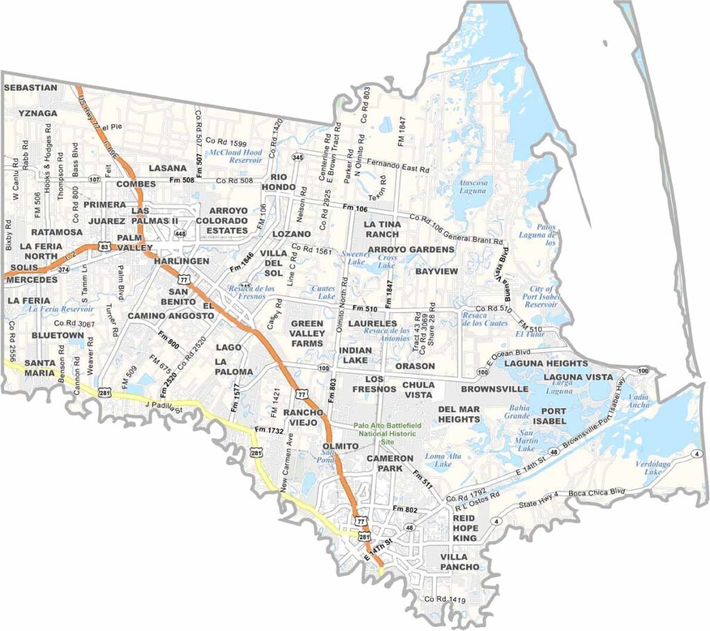
Cameron County sits at the southernmost tip of Texas, along the Gulf of Mexico and the Rio Grande. It’s hot down there. Really hot. The county’s biggest claim to fame is South Padre Island, which is basically spring break central and a paradise for beach lovers.
Brownsville, the county seat, has a fascinating history as a Civil War battleground. You can still visit historic Fort Brown today. The county is also a melting pot of cultures, with a strong Mexican influence.
Birders flock here year-round to spot rare tropical species. And if you like mild winters, Cameron County is the place to be. Just watch out for hurricanes during the summer. Oh, and don’t forget to try the amazing Tex-Mex food while you’re here.
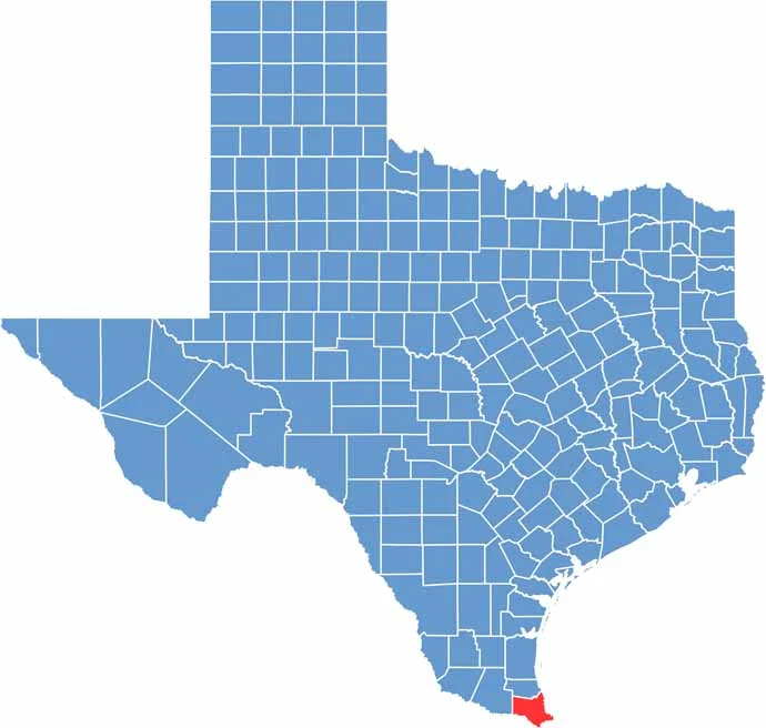
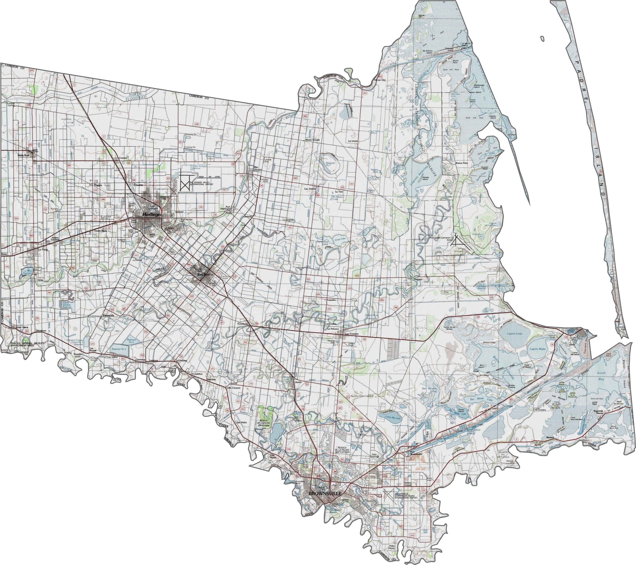
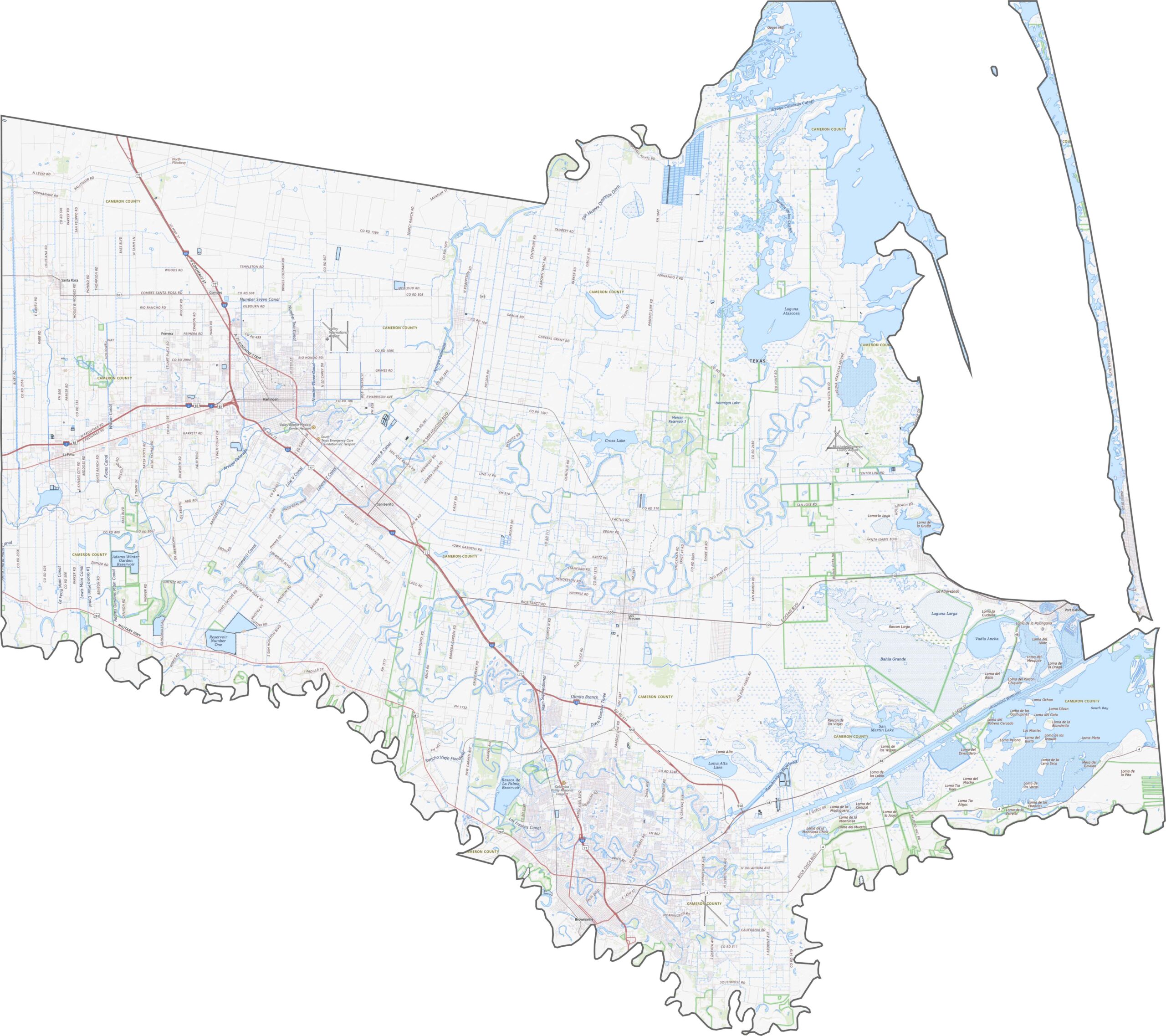
Cameron County is one of the flattest parts of Texas. Its defining feature is its position on the Gulf Coastal Plain. Elevation rarely rises more than a few dozen feet above sea level. The Rio Grande marks the southern edge, with broad floodplains stretching along it.
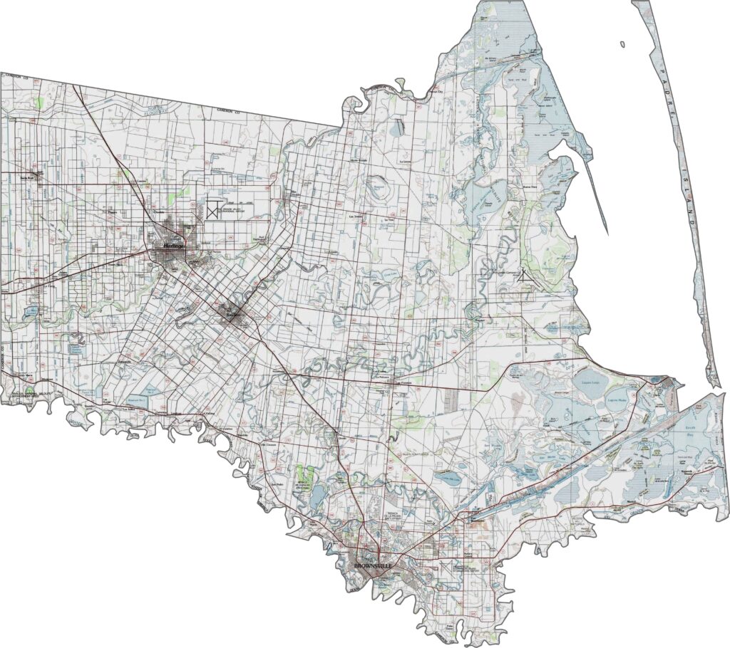
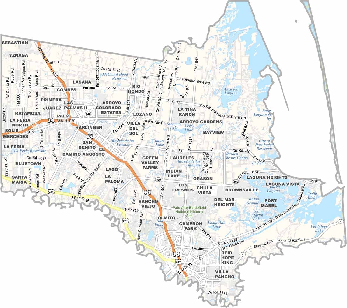
Cameron County’s roads connect coastlines, border crossings, and growing cities. U.S. Highways 77 and 83 cut through the middle, while State Route 281 runs along the Rio Grande. It’s a mix of speed and scenery.
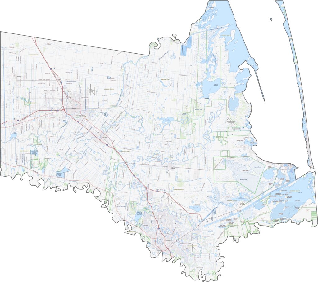
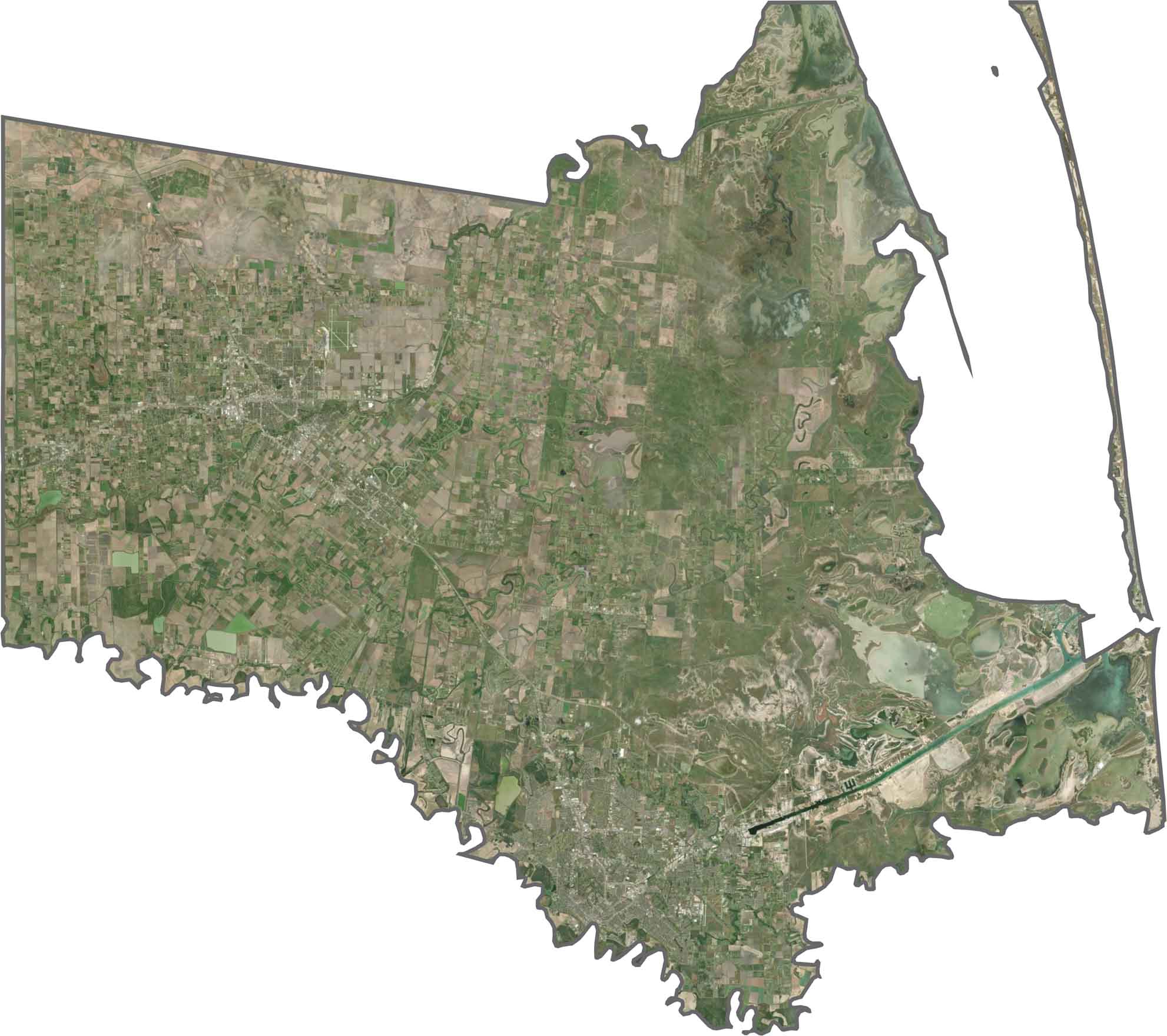
From above, the county is a mix of farmland, urban centers, and water. The coastline stands out, with sandy beaches and barrier islands clearly visible.
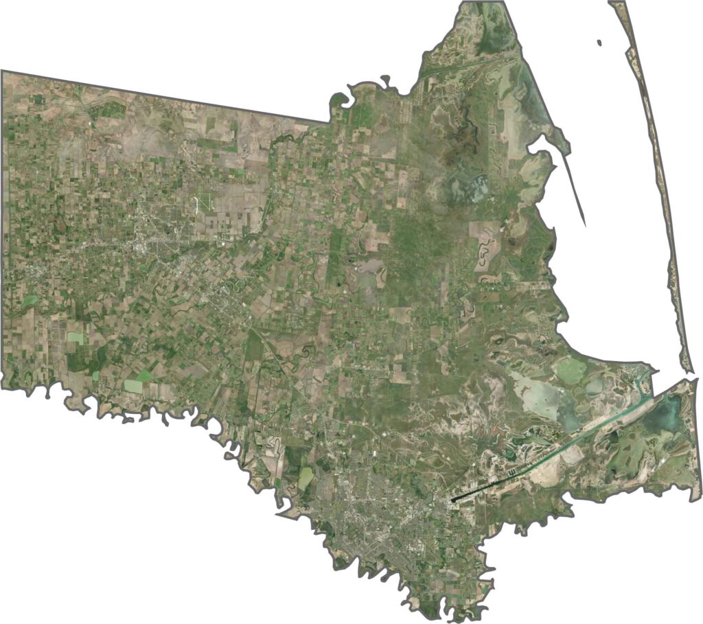
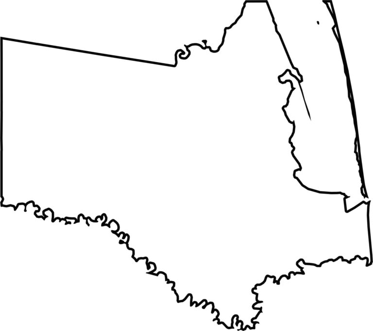
Cameron County is long and stretched from east to west. Its southern edge is defined by the Rio Grande, creating a natural border with Mexico. The eastern side ends at the Gulf coastline.








Discover all 254 legendary Texas county maps, covering the Lone Star State from the Panhandle to the Rio Grande. That means more rodeos, honky-tonk, and Texas BBQ.