
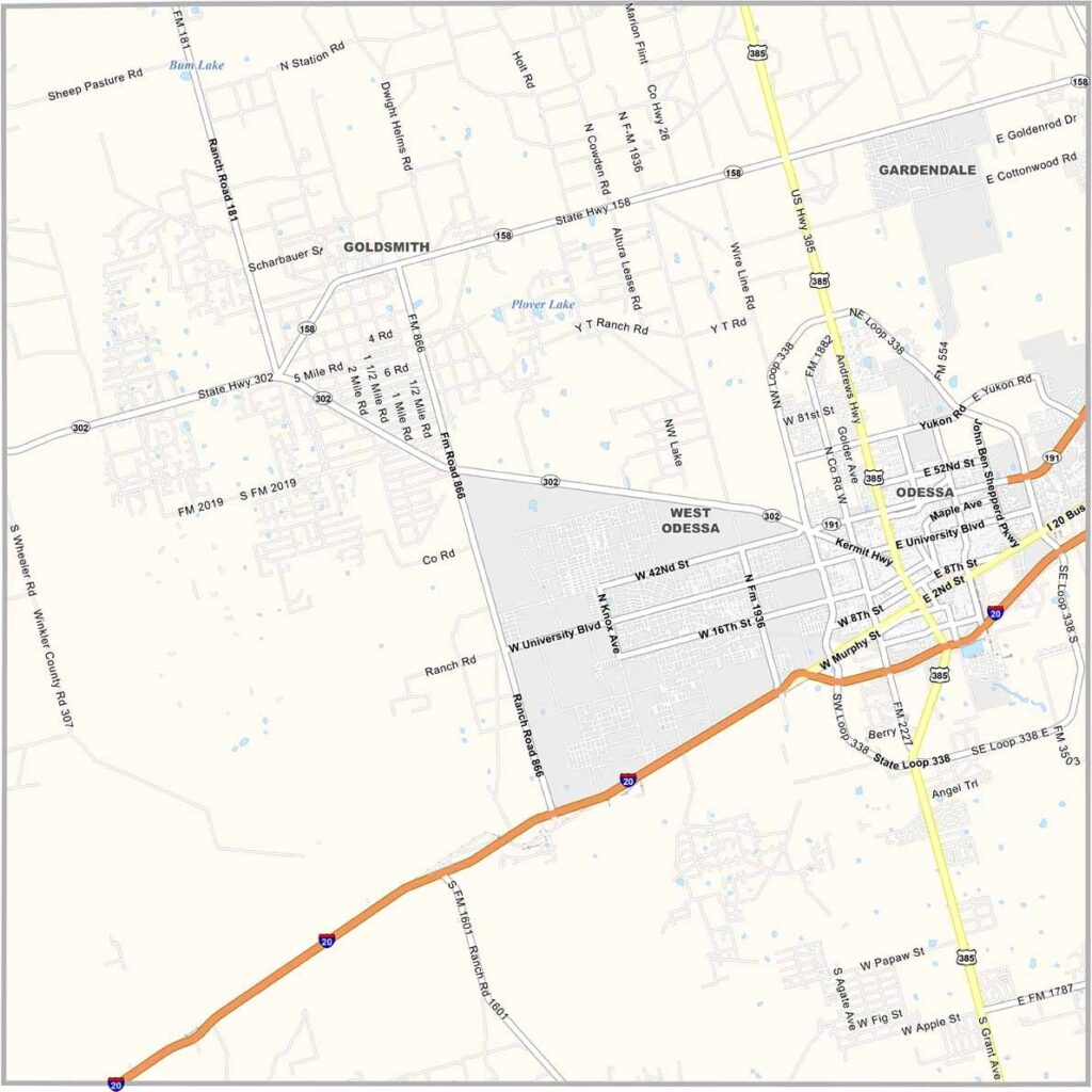
Ector County is out in West Texas, where the Permian Basin stretches wide. Odessa is the heart of it all. It’s an oil county, with pump jacks scattered across the landscape. They’re like mechanical praying mantises.
It’s been boom or bust here, always has been. The county has grit. These are tough folks who know how to weather the storms. And I’m not just talking dust storms, though those can be fierce.
Football is religion in these parts. Permian High’s legacy looms large. It’s not all oil, though. There’s ranching too, along with a growing medical sector. The sunsets are spectacular. It’s a place that gets in your blood.
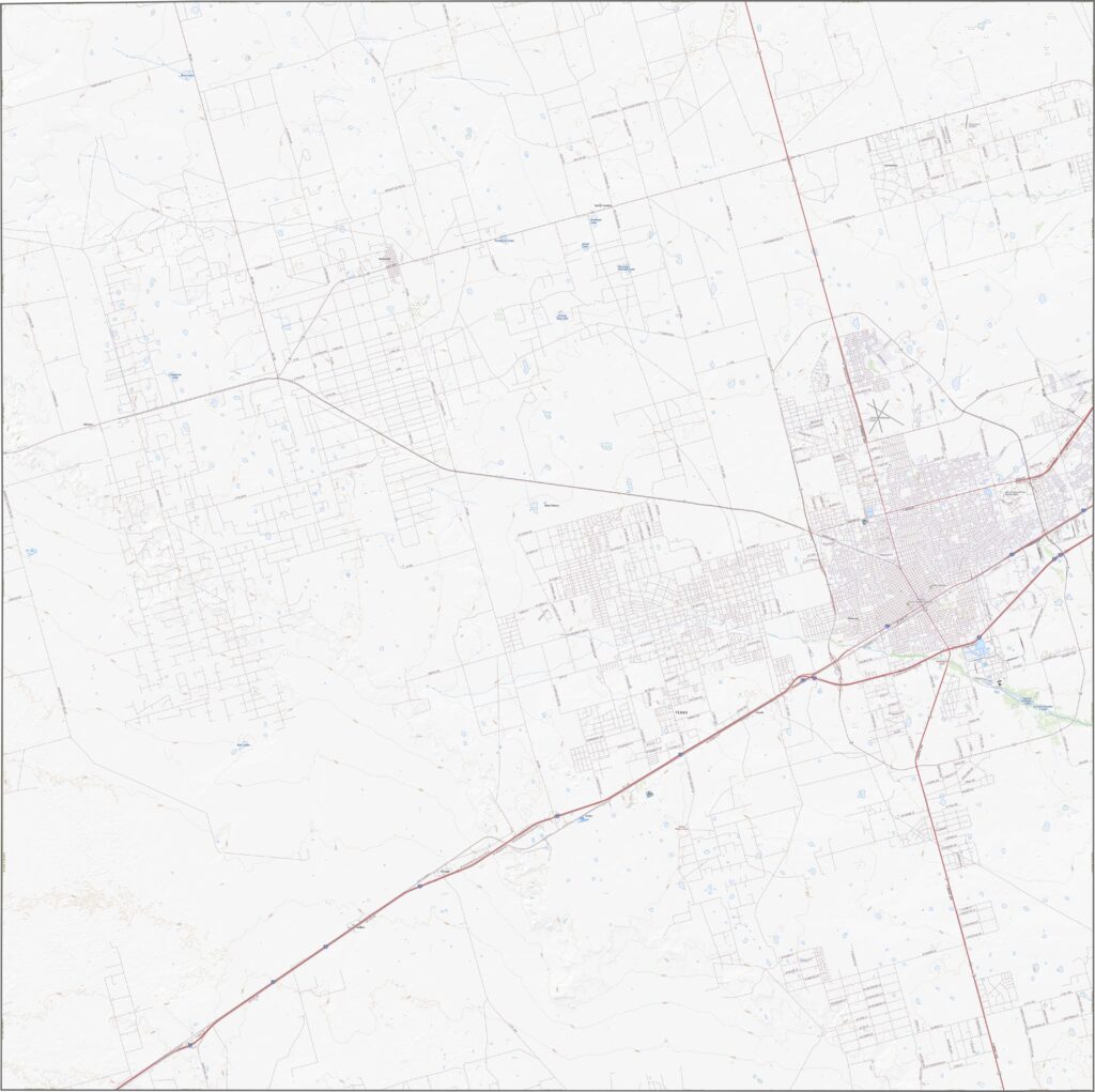
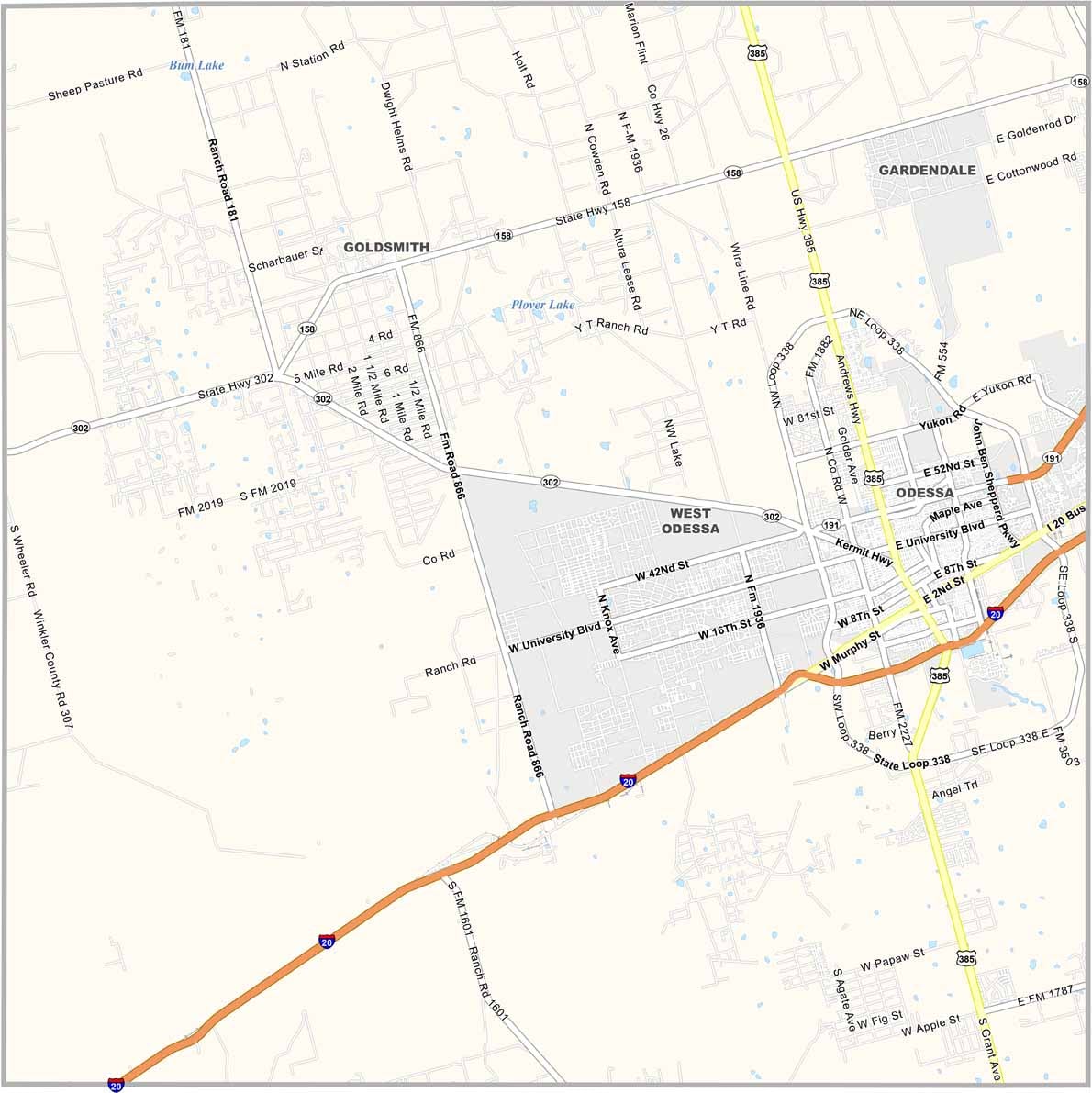
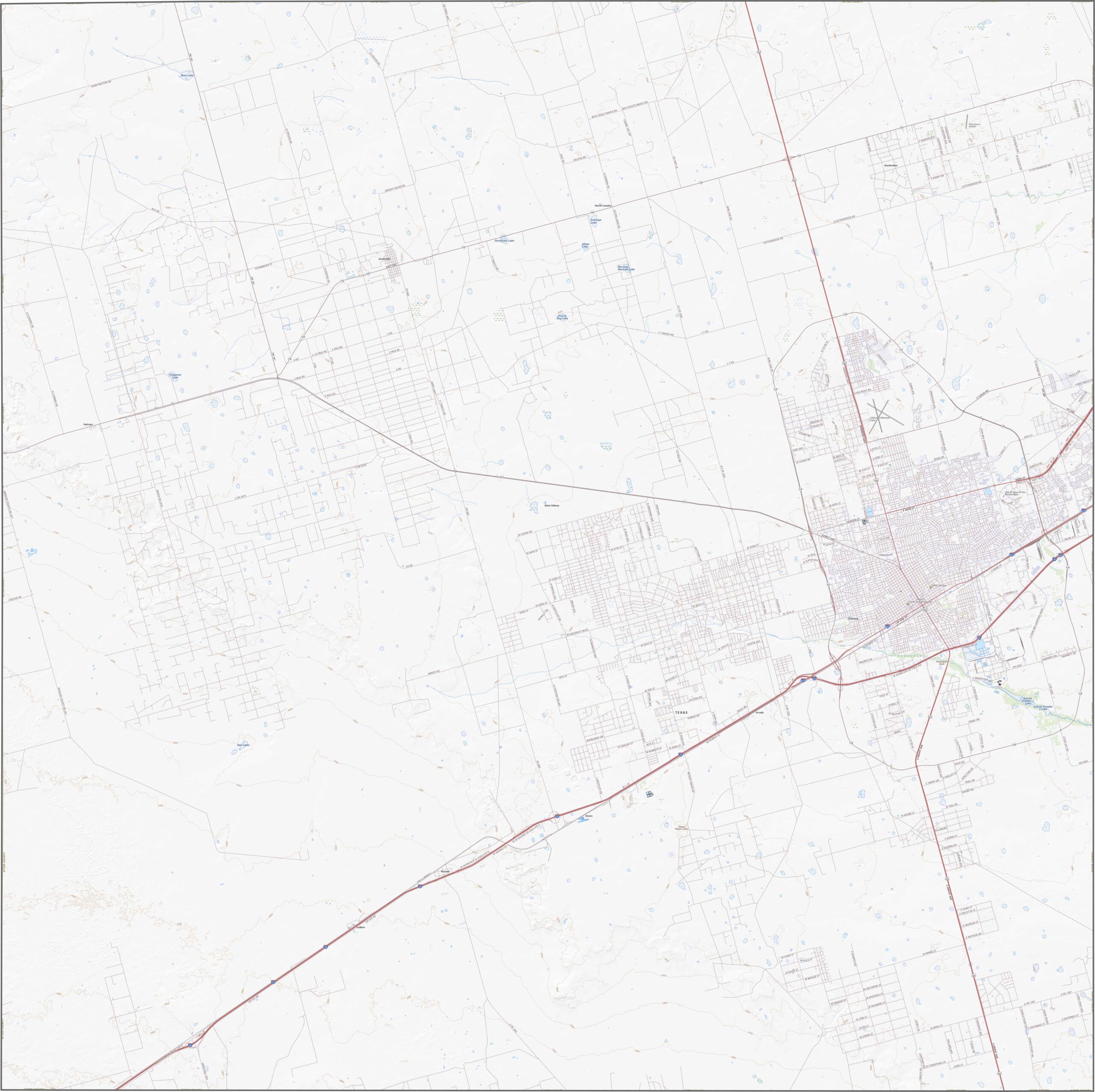
This is West Texas, so the roads run long and straight. I-20 cuts through the flat terrain with purpose. Most routes center around Odessa. Loops and bypasses circle the city, while the rest of the county remains wide open.
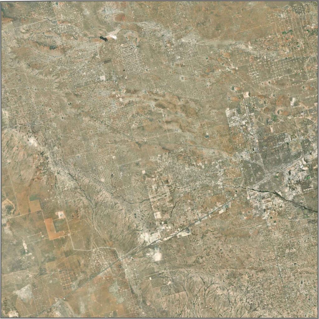
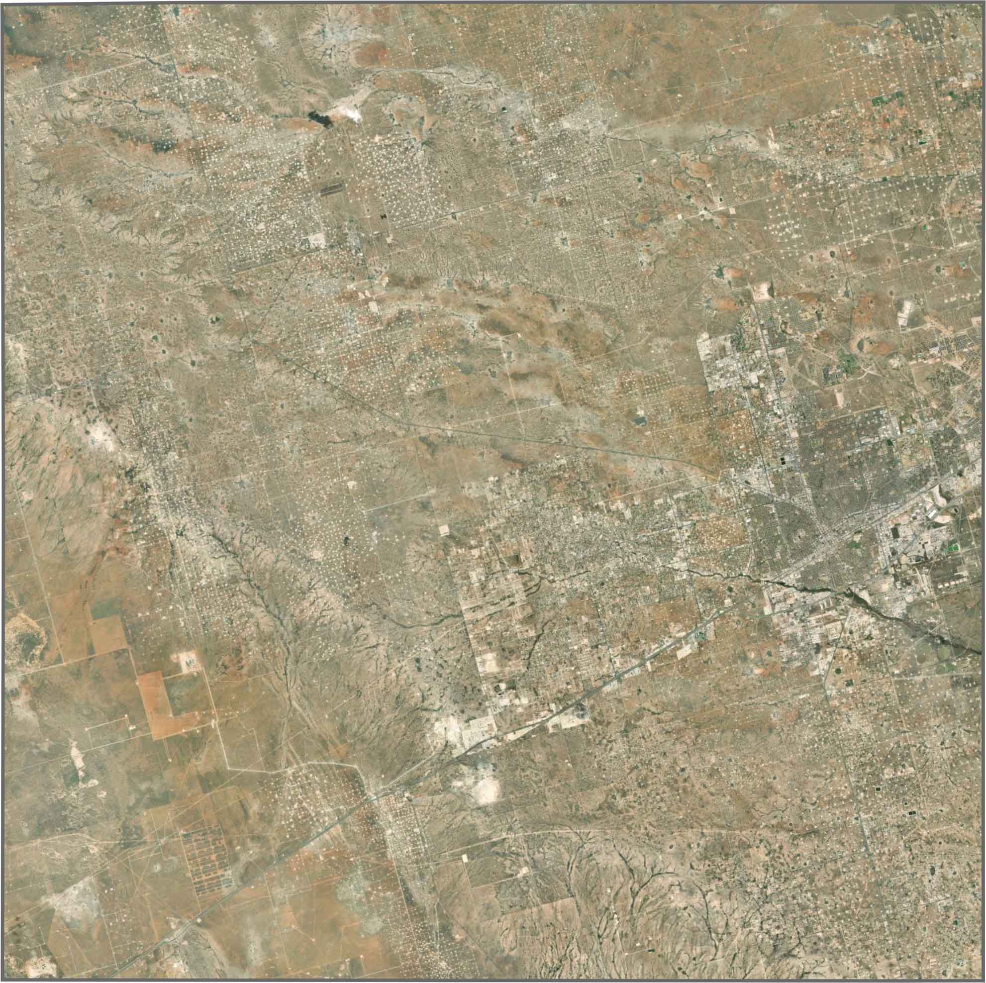
From above, Odessa appears on the right side of the map. Oil fields create patterns of perfectly arranged rows. Outside the city, trees are hard to find. Roads and pump jacks dominate the landscape.
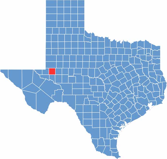
Ector County has a square shape. It borders several other counties but no other states. The boundaries are straight, drawn without much regard for rivers or hills… that’s because there aren’t many. It’s classic West Texas county geometry.









Discover all 254 legendary Texas county maps, covering the Lone Star State from the Panhandle to the Rio Grande. That means more rodeos, honky-tonk, and Texas BBQ.