
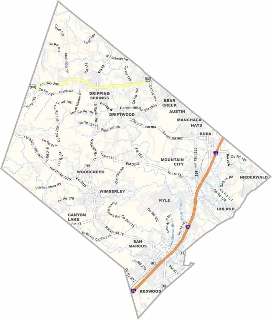
Hays County sits just south of Austin in central Texas. It’s where the Hill Country meets the Blackland Prairie. The county is growing quickly, thanks to its location near several larger cities.
San Marcos serves as the county seat, with the San Marcos River running right through it. Yep, it’s perfect for tubing. The city is also home to Texas State University. Wimberley is a little slice of Hill Country heaven, attracting both artists and retirees.
The western part of the county is rugged and beautiful. Ranches and wineries are common sights here. You’ll find everything from hipsters to cowboys in Hays County. It’s a place that respects its past while embracing the future.
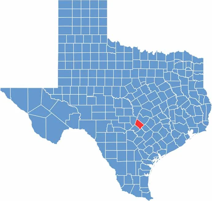
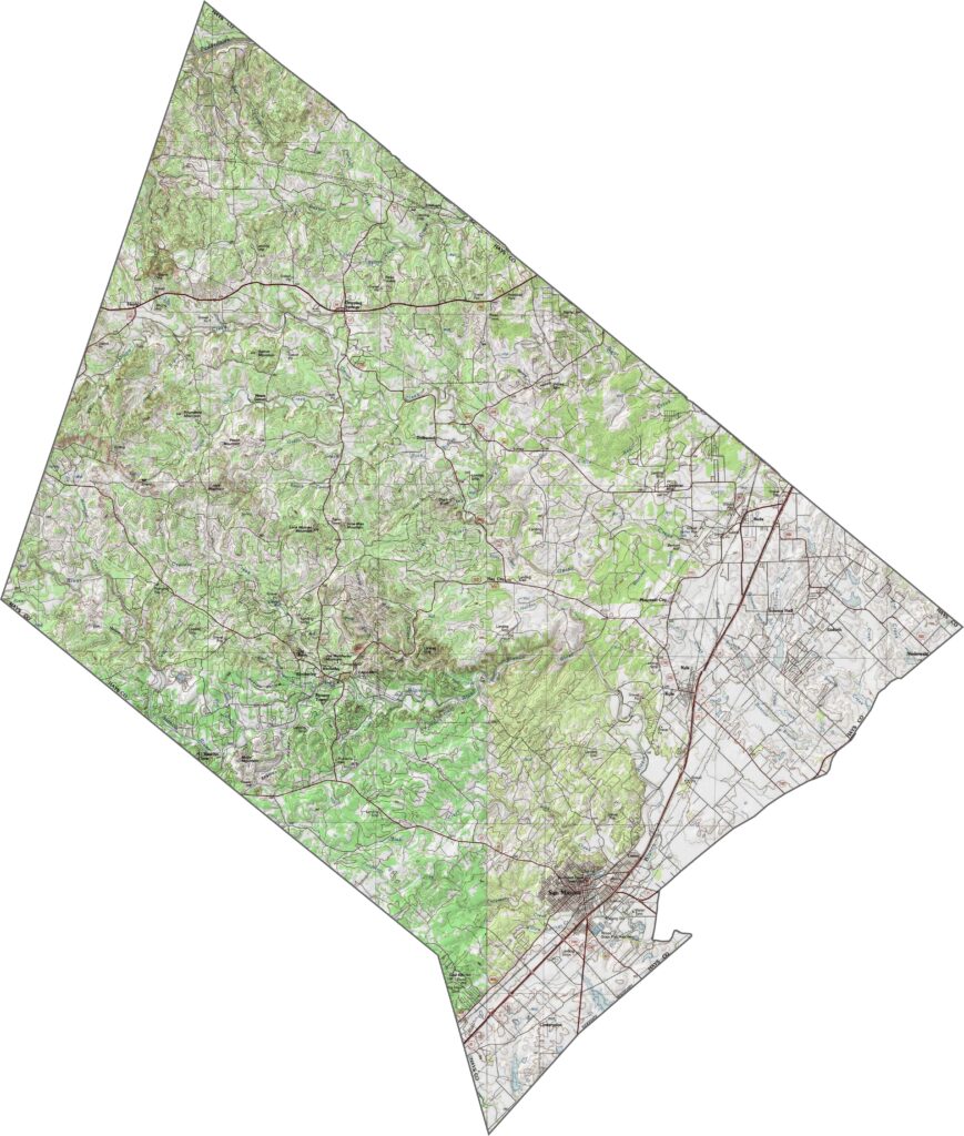
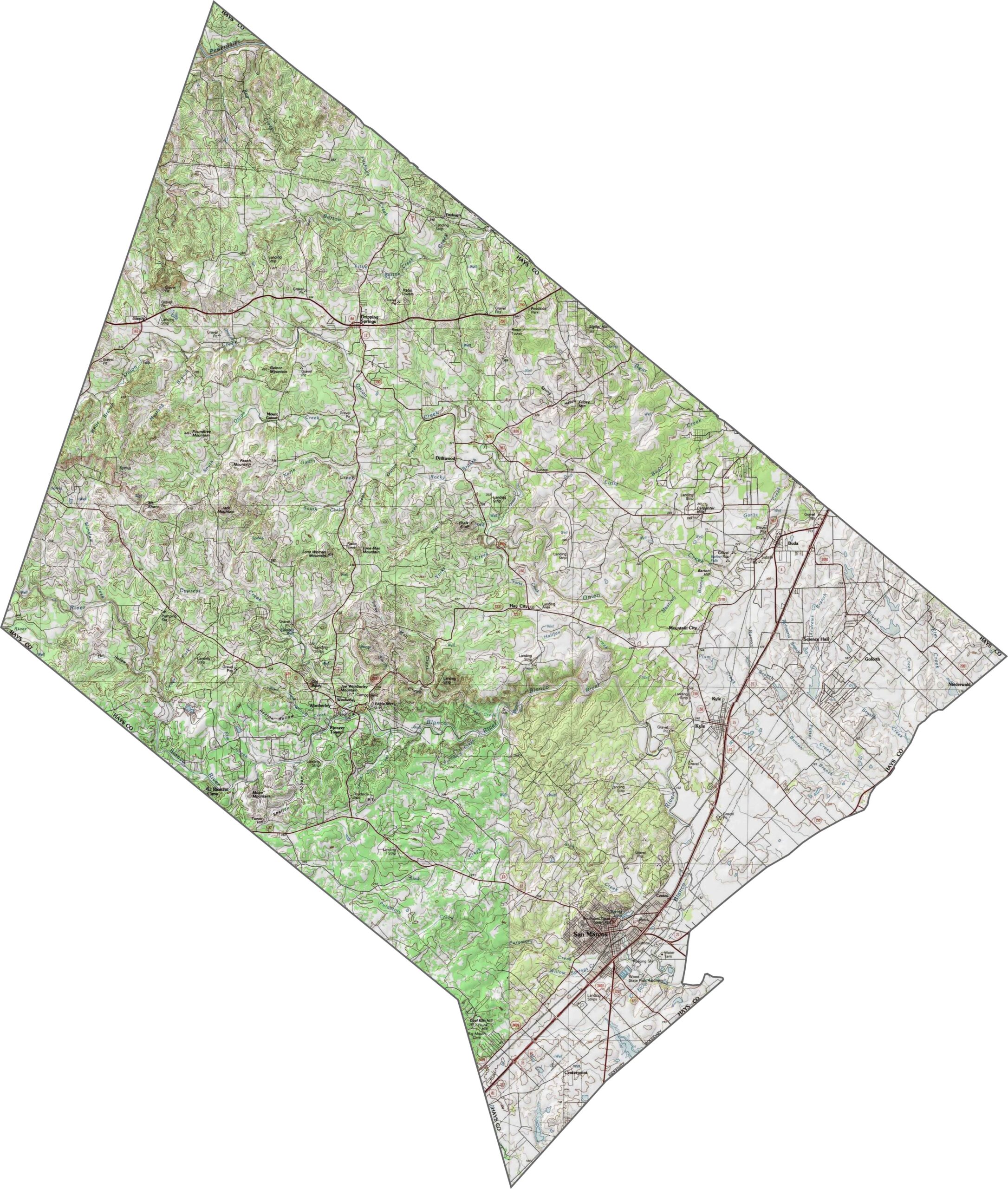
This is Hill Country, and it shows. The standout feature is the Balcones Escarpment, a sharp rise that cuts through the county. The eastern portion is flatter and lower, while the west rises into rugged hills and canyons.
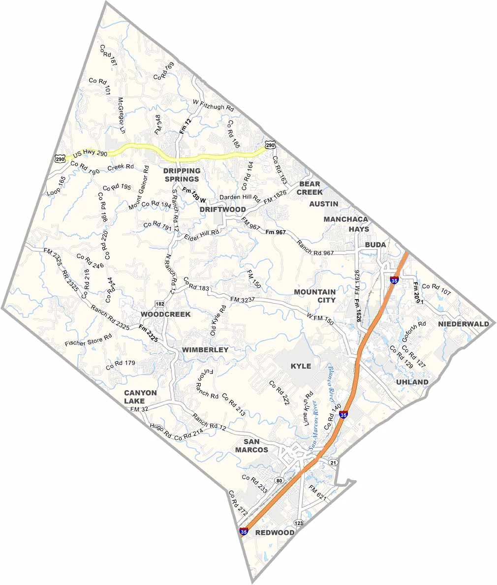
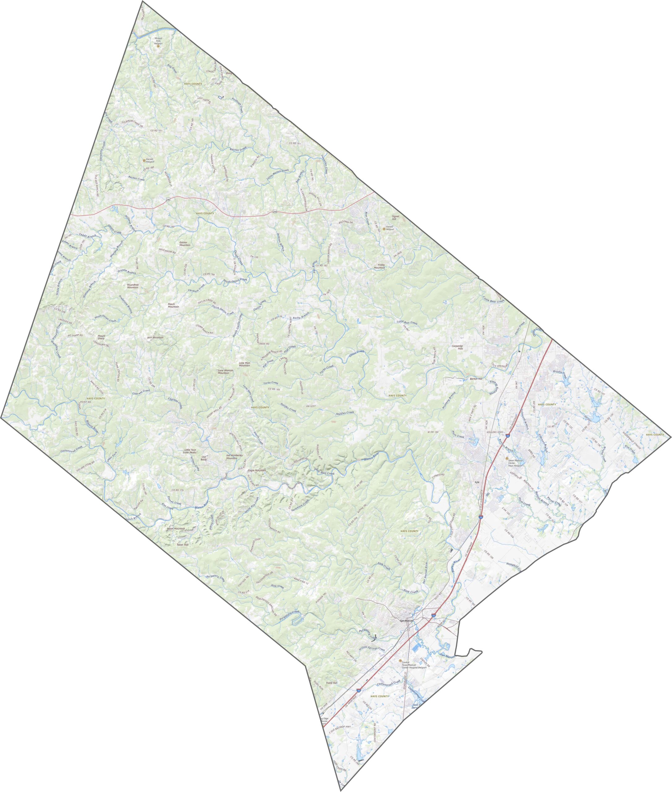
Roads stretch between cities, rivers, and smaller towns. I-35 is the busiest highway in the eastern section. Some highways climb into the Hill Country, winding between ridges, while others run across open fields. Traffic can pile up quickly. Zoom in on our road map below to explore the transportation network.
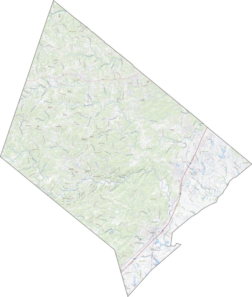
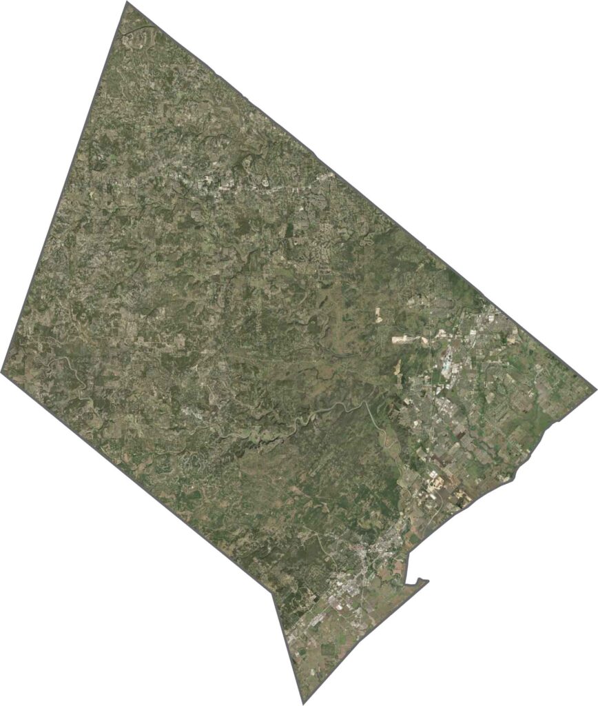
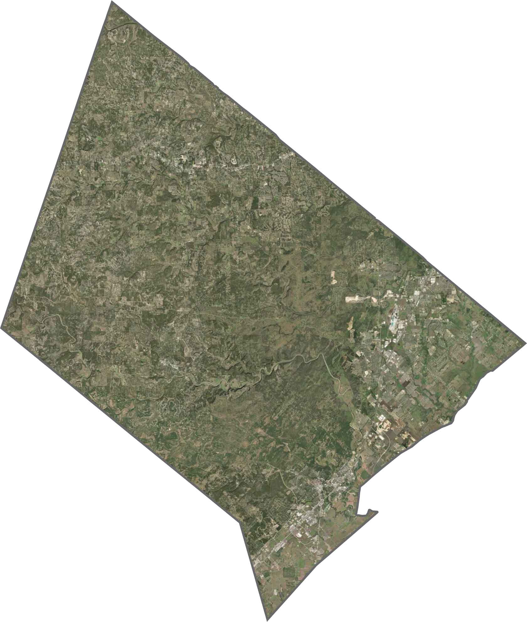
Our satellite map shows Hays County’s terrain, filled with dark green ridges and pale, dry grasslands. San Marcos and Kyle appear as gray grids in the bottom right. The western half looks rough and sparse. From above, you can really see where the land starts to breathe.
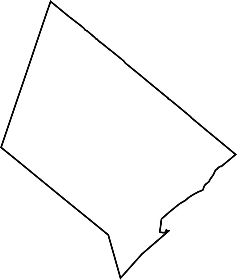
Hays County has an angled, sloping shape, like a sideways rectangle. There are no state borders here, but it touches both the Austin metro area.








Discover all 254 legendary Texas county maps, covering the Lone Star State from the Panhandle to the Rio Grande. That means more rodeos, honky-tonk, and Texas BBQ.