
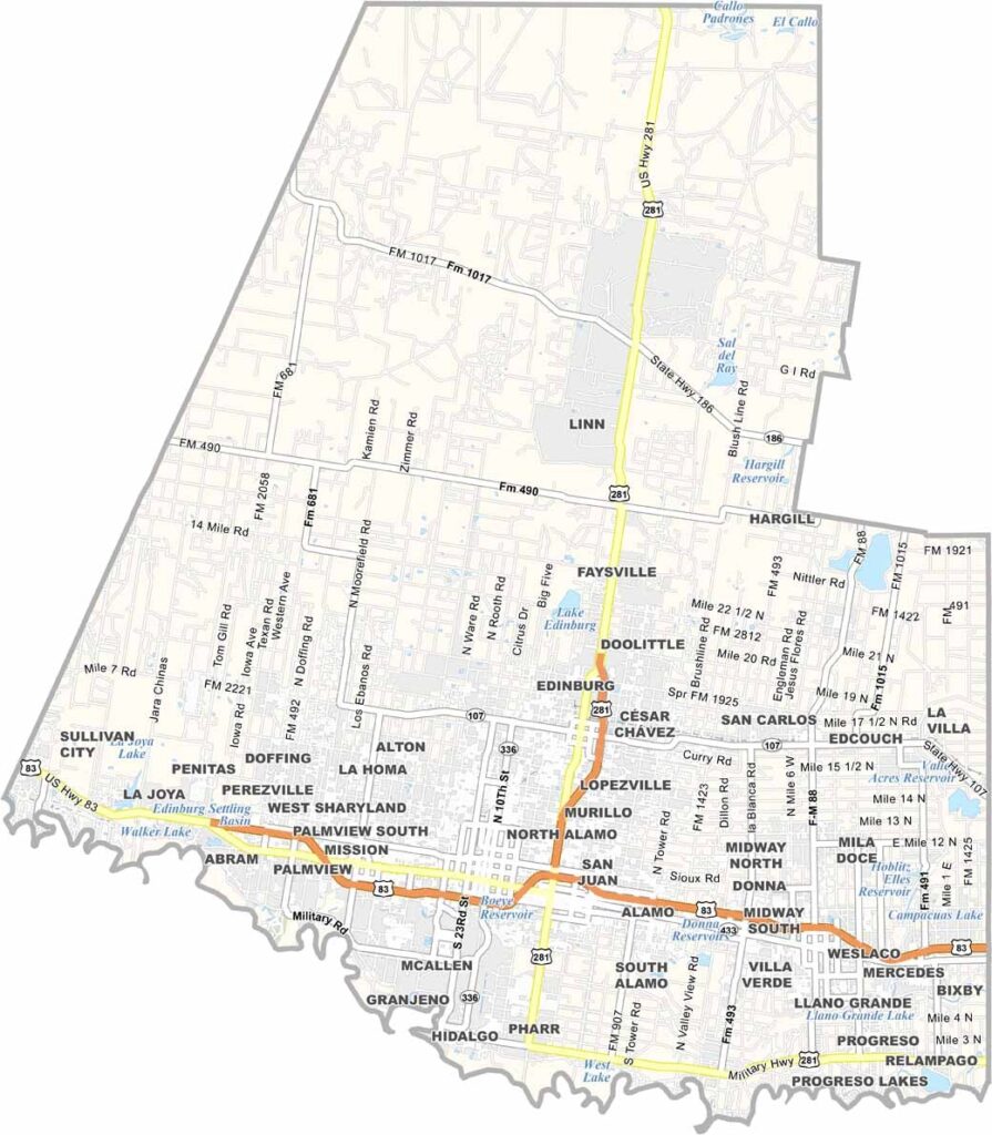
Hidalgo County sits where the Rio Grande meets Texas, in the heart of the Rio Grande Valley along the Mexican border. McAllen is the largest city, while Edinburg serves as the county seat.
It’s hot here. Really hot. Winters, however, are mild. Agriculture is a major part of the local economy, with citrus groves scattered throughout the area. The county’s population has grown rapidly in recent years, making it one of the fastest-growing areas in the country.
Birding is world-class, and so is the Tex-Mex food. The culture blends American and Mexican influences, and you’ll hear Spanish spoken just as often as English. Hidalgo County is a dynamic place that’s always changing and growing.
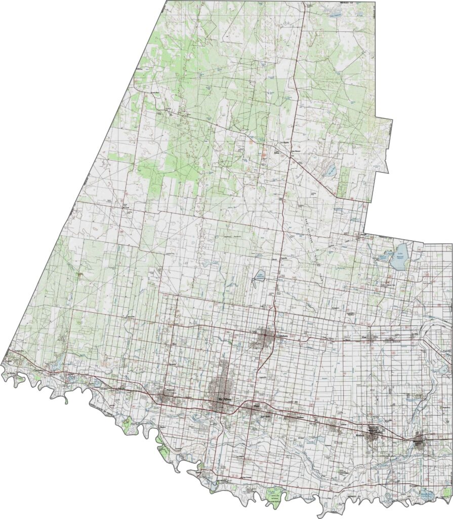
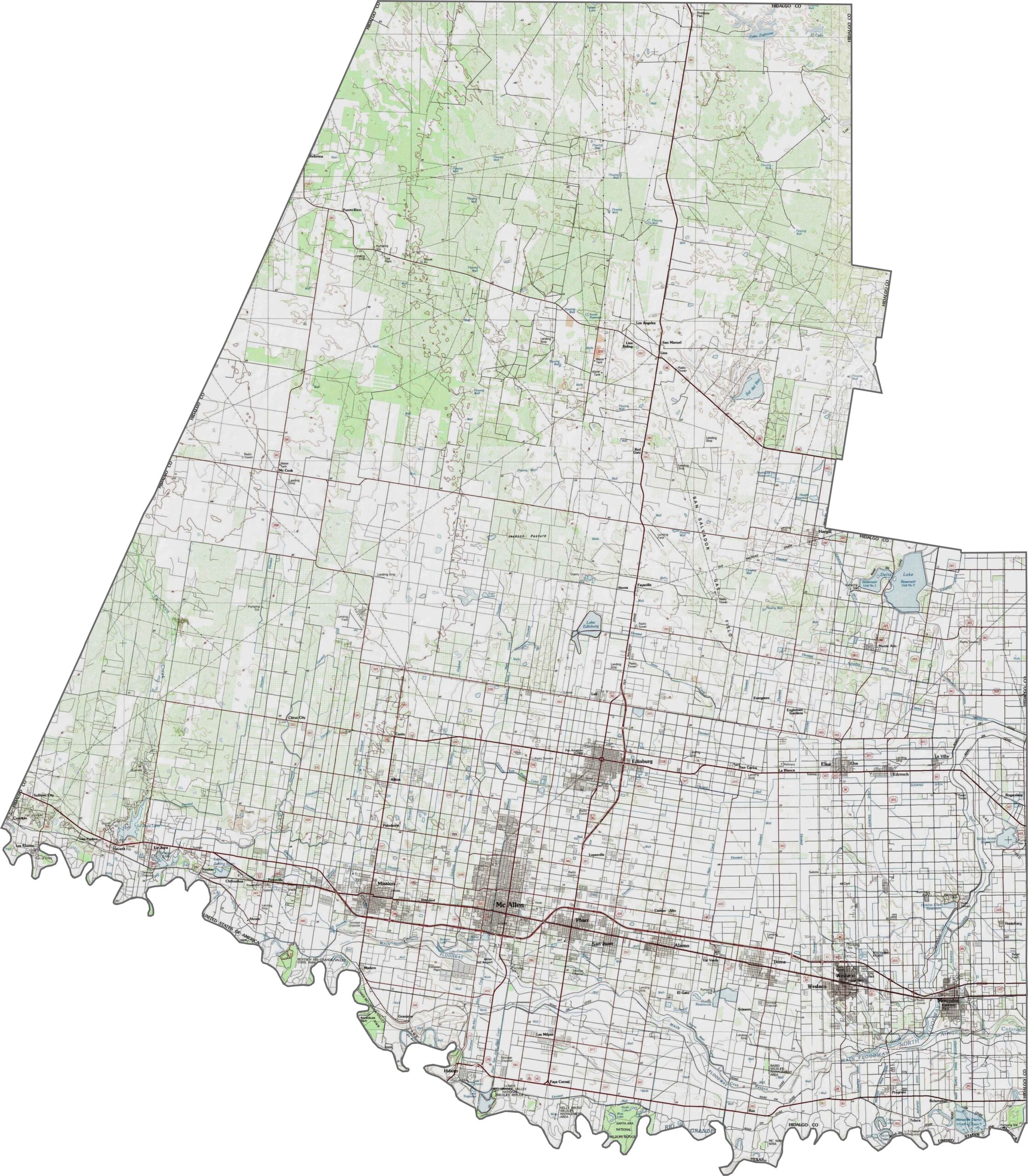
It doesn’t get much flatter than this. Hidalgo County is defined by its broad, low floodplain along the Rio Grande. The land slopes gently southward, with barely any rise in the northern part. Use our zoom tool to explore the elevation contours in greater detail.
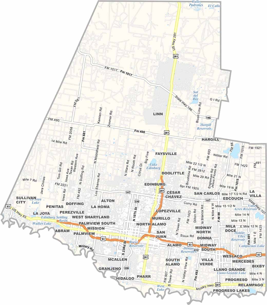
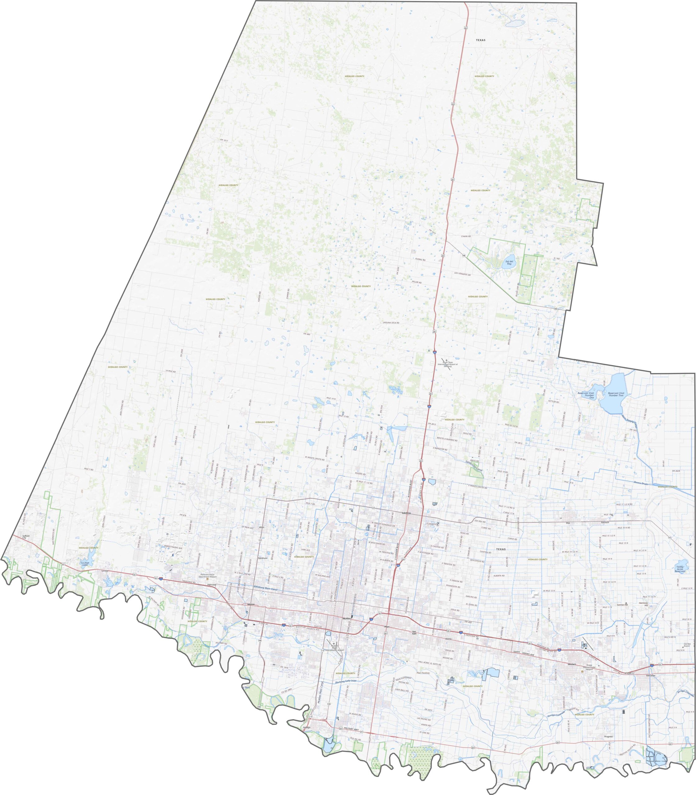
Hidalgo County’s highway system is built for cross-border movement and regional traffic. Roads run more east-west than north-south, staying close to the Rio Grande. U.S. Highways 281 and 83 are the main routes, helping traffic move smoothly through the county.
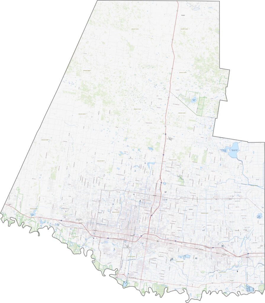
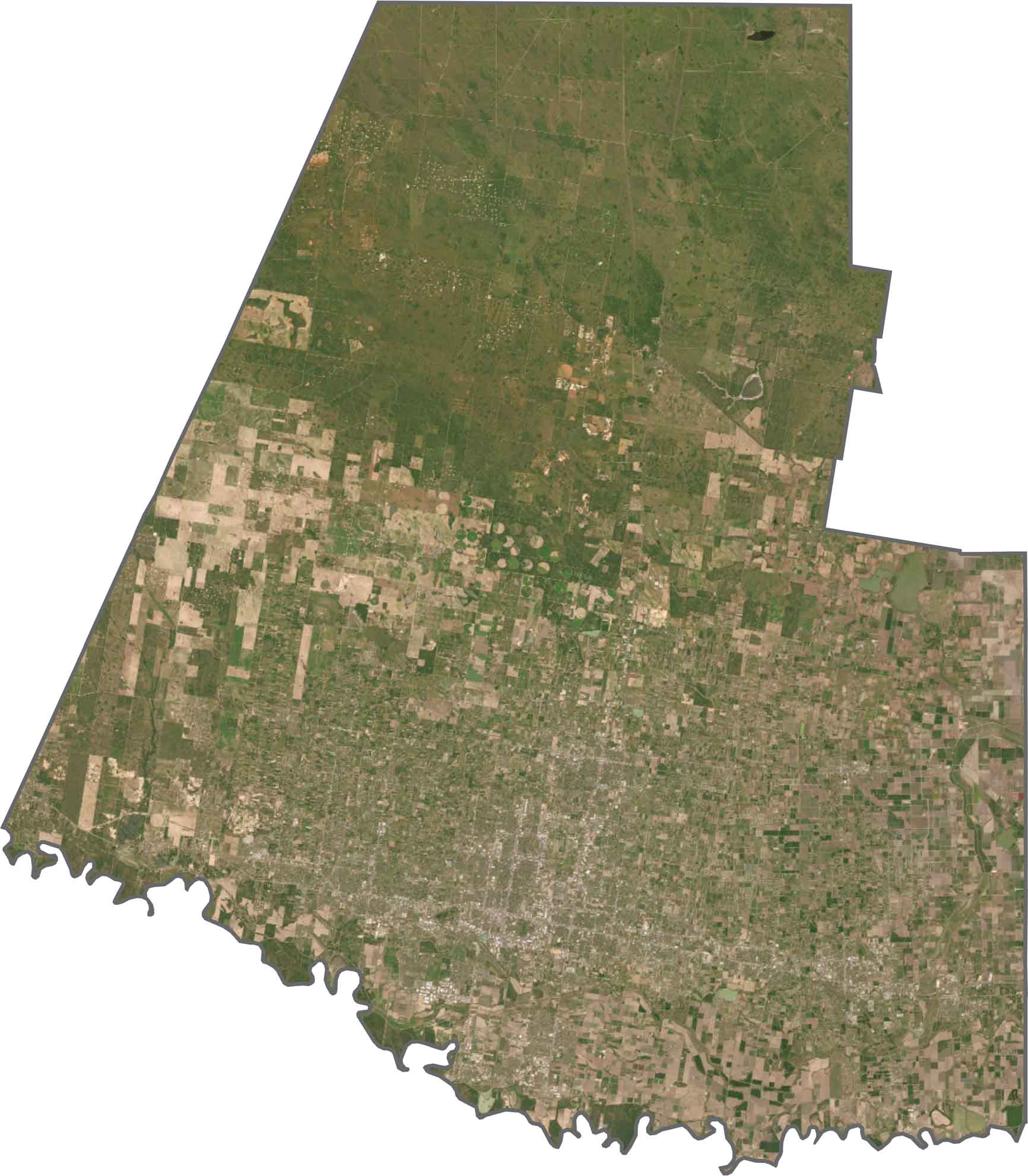
Urban development fills much of the southern half, with McAllen, Edinburg, and Mission blending together. Agriculture takes over across the central area, with rows of crops, citrus groves, and irrigated fields. The northern section shows the most oil and gas activity.
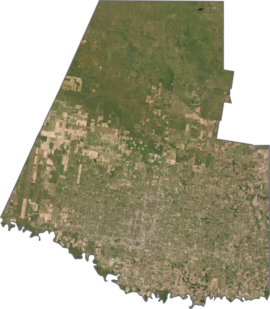
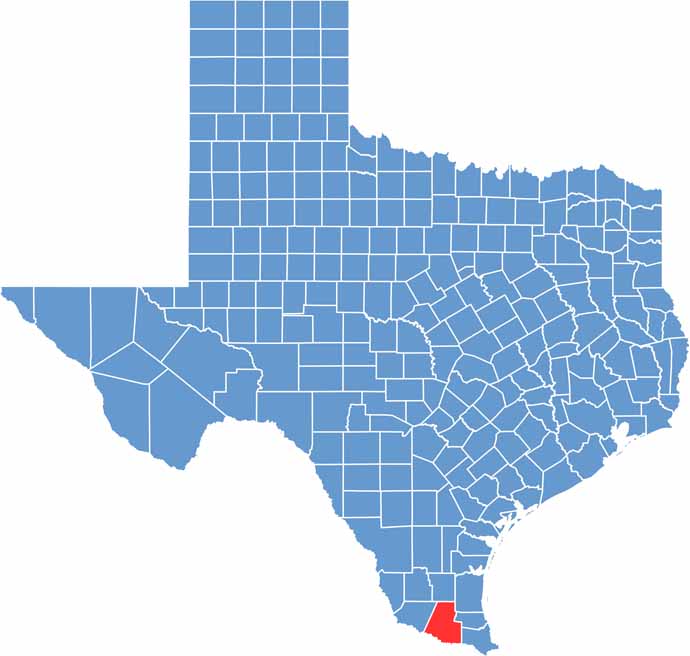
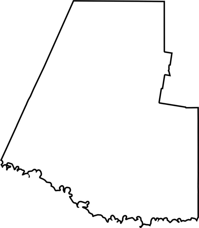
Hidalgo County is wide, flat, and horizontal, with the Rio Grande defining its southern edge. It shares a long international border with Mexico, while the rest of the outline is mostly straight and follows survey lines. It’s one of Texas’s southernmost counties and one of the easiest to recognize on a map.








Discover all 254 legendary Texas county maps, covering the Lone Star State from the Panhandle to the Rio Grande. That means more rodeos, honky-tonk, and Texas BBQ.