
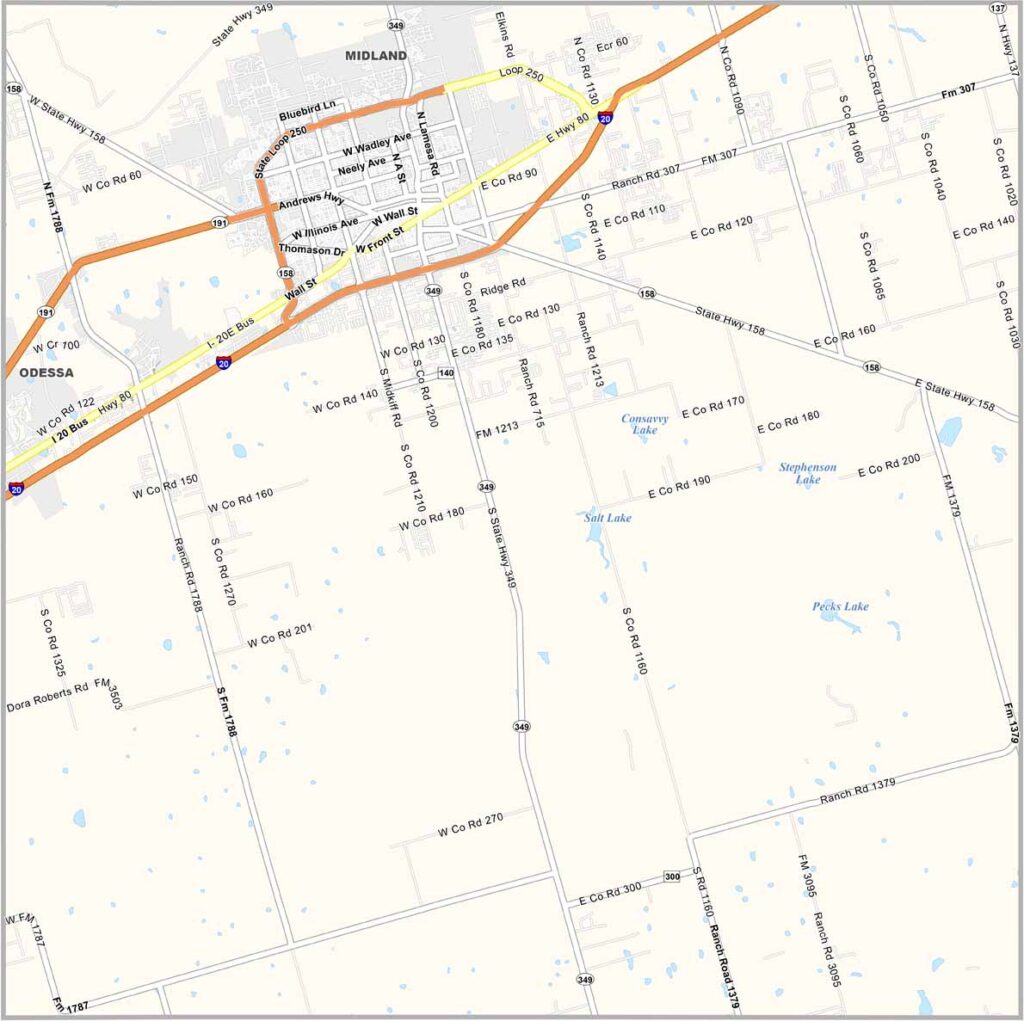
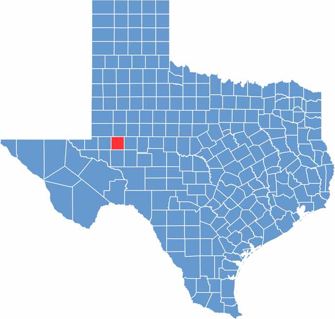
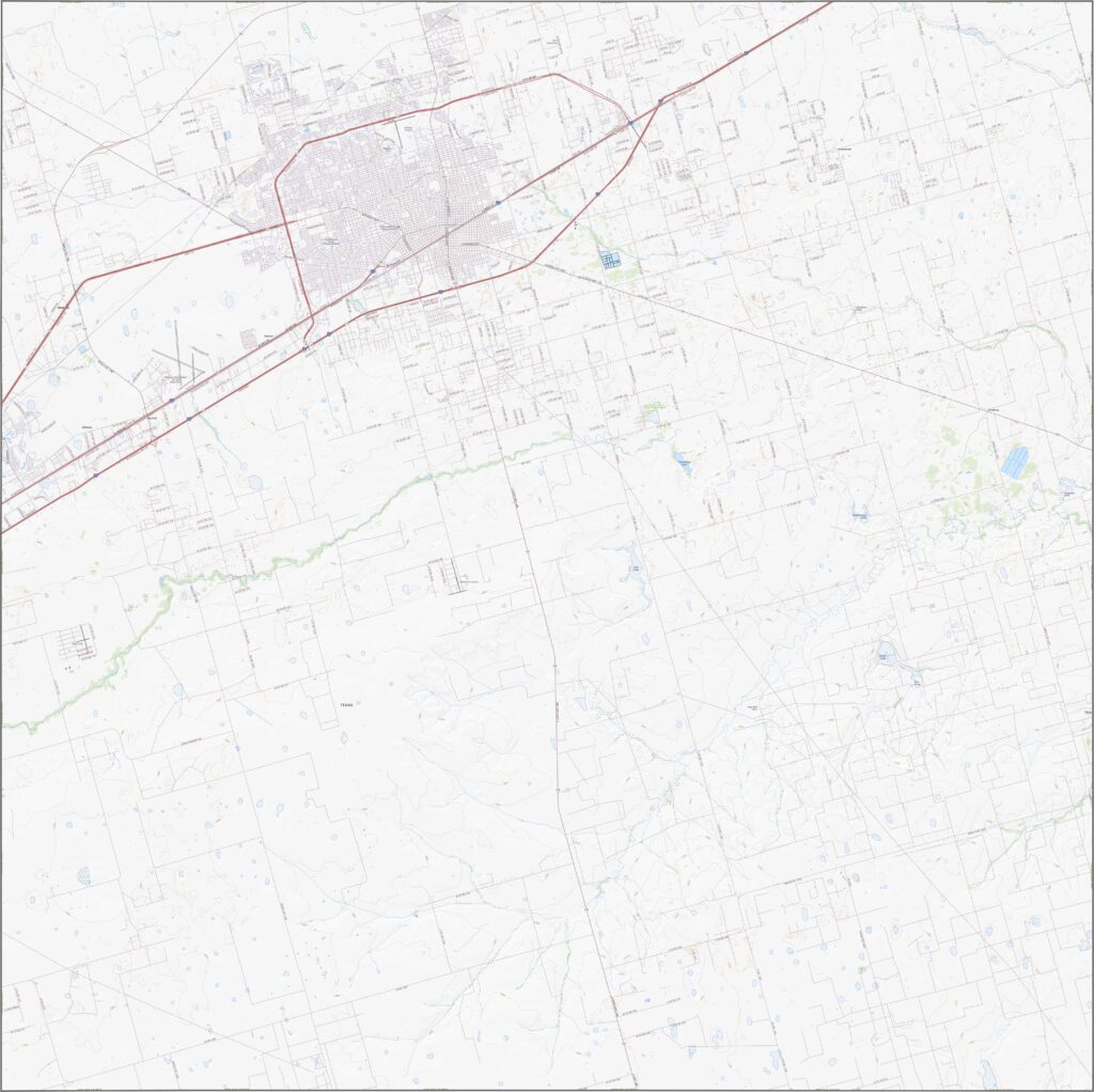
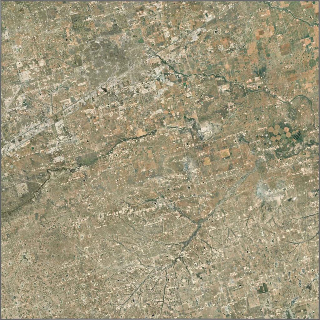
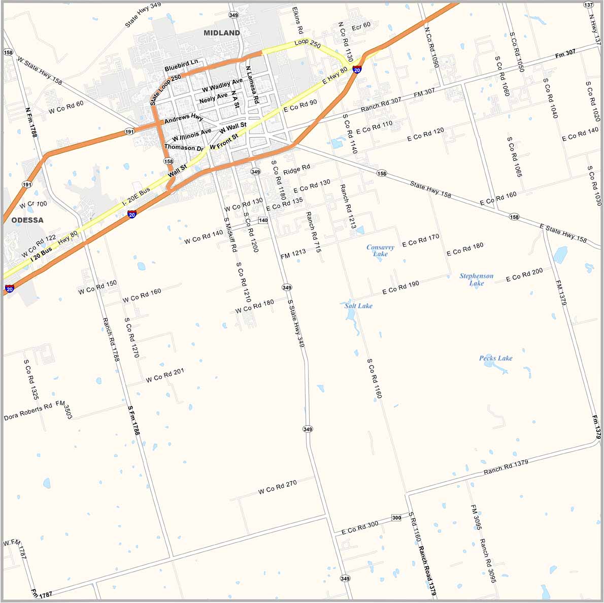
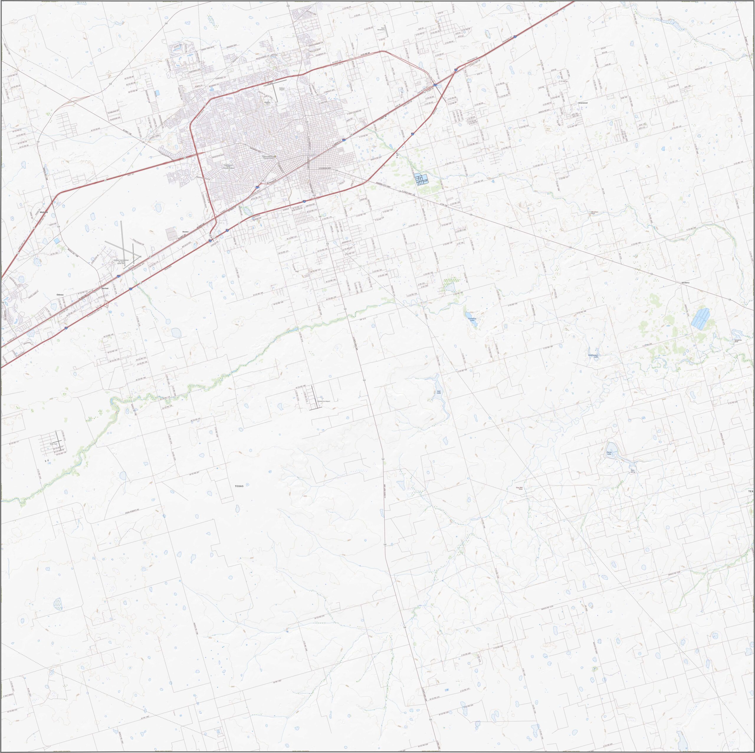
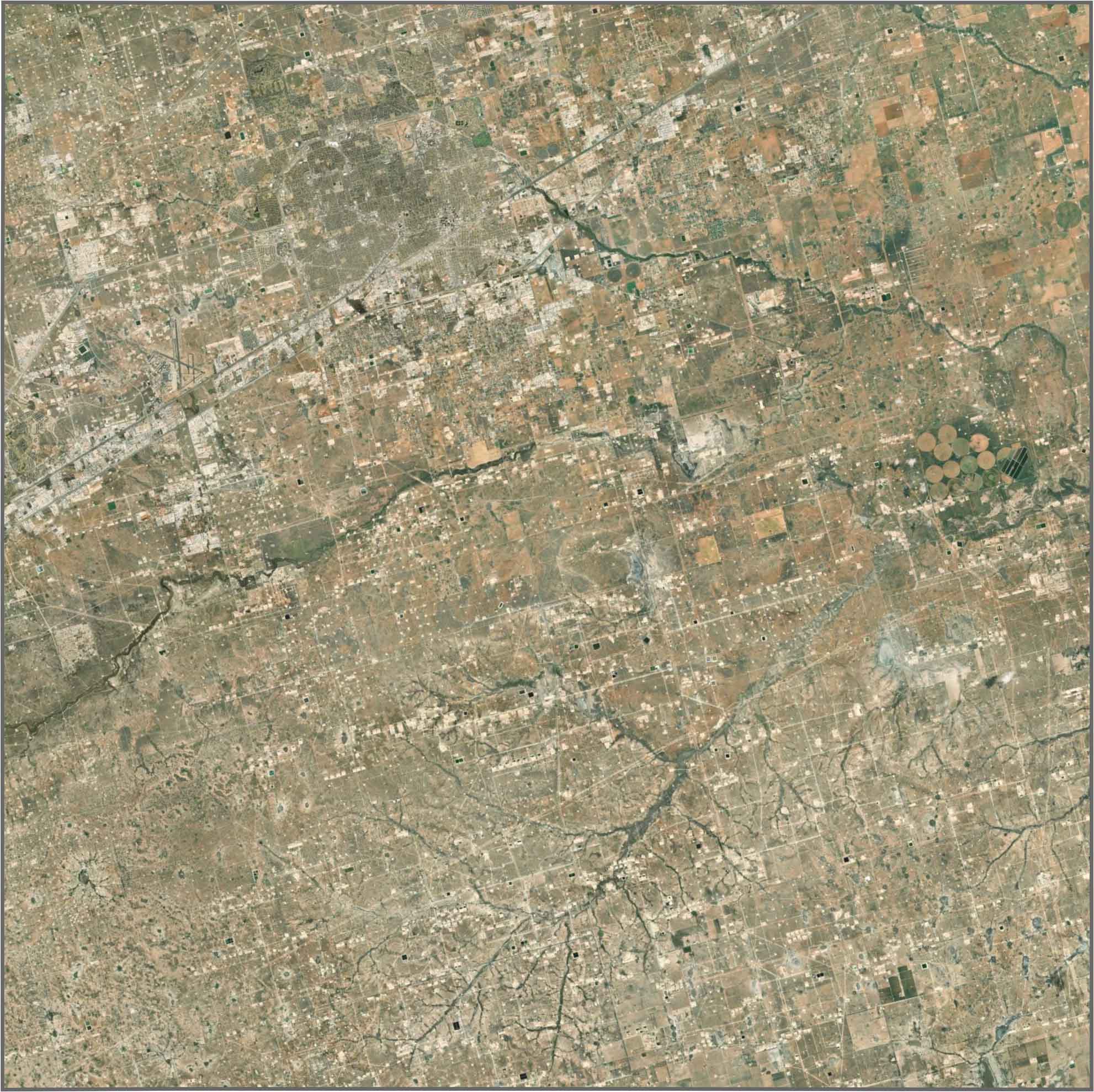
Midland County sits in the Permian Basin, right in the heart of West Texas. It’s oil country, plain and simple. The skyline of Midland, the county seat, rises from the flat landscape like a mirage.
They call Midland, Texas the “Tall City.” George W. Bush grew up here, and you can still visit his childhood home. The Permian Basin Petroleum Museum tells the story of black gold and the oil industry that shaped the area.
It’s not all oil, though. The I-20 Wildlife Preserve offers an unexpected escape into nature, with opportunities for hiking and outdoor exploration. Midland County continues looking toward the future while still honoring its past.
Williamson County has an irregular outline. It has no border rivers and no neighboring states. The southern border is curvy, while the other borders run straight.
Williamson County has an irregular outline. It has no border rivers and no neighboring states. The southern border is curvy, while the other borders run straight.
Williamson County has an irregular outline. It has no border rivers and no neighboring states. The southern border is curvy, while the other borders run straight.









Discover all 254 legendary Texas county maps, covering the Lone Star State from the Panhandle to the Rio Grande. That means more rodeos, honky-tonk, and Texas BBQ.