
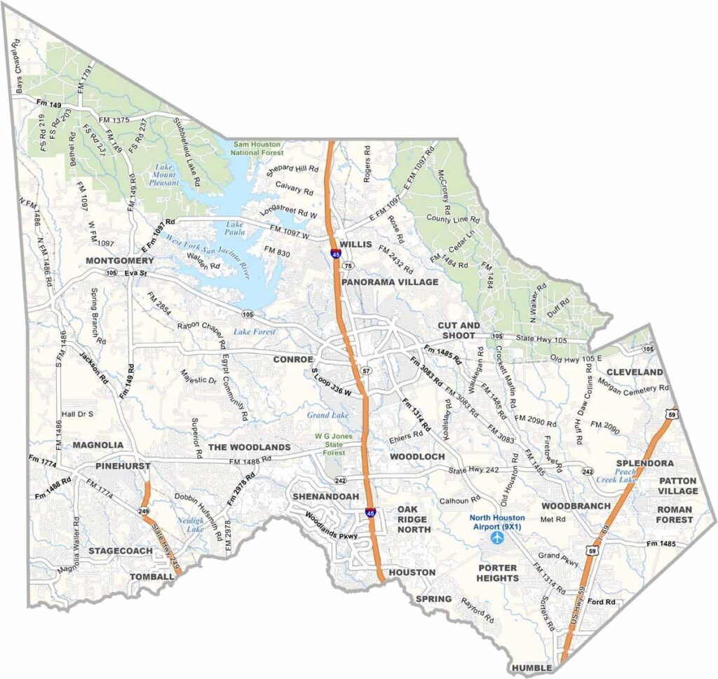
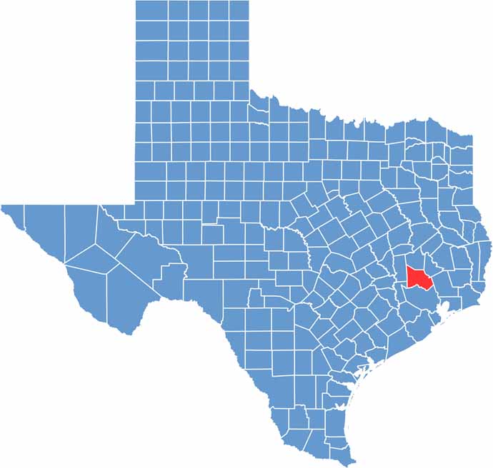
Montgomery County sits just north of Houston in eastern Texas. It’s one of the fastest-growing counties in the state. The county takes its name from the town of Montgomery, which claims to be the birthplace of the Texas Lone Star flag.
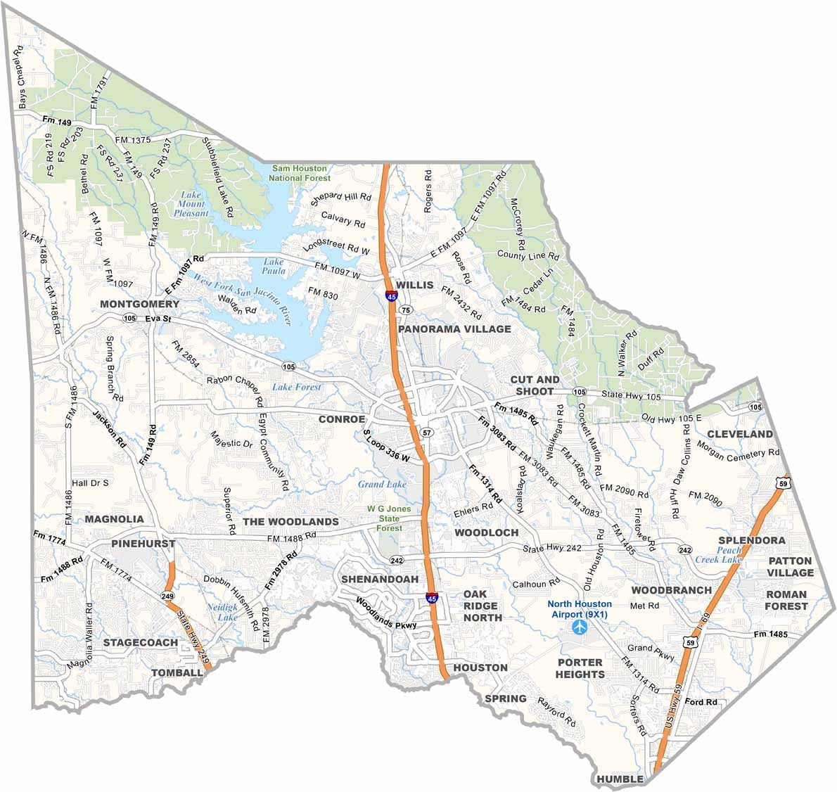
People love spending time at Lake Conroe, especially during the scorching summer months. The Woodlands is a master-planned community that blends old and new, while historic downtown Conroe sits just miles from modern shopping centers.
The county has a strong arts scene, with theaters and music venues throughout the area. Nature lovers can explore the Sam Houston National Forest in the north. It’s close enough to Houston for an easy commute but far enough away to feel like an escape. Montgomery County is changing quickly while still holding onto its roots.
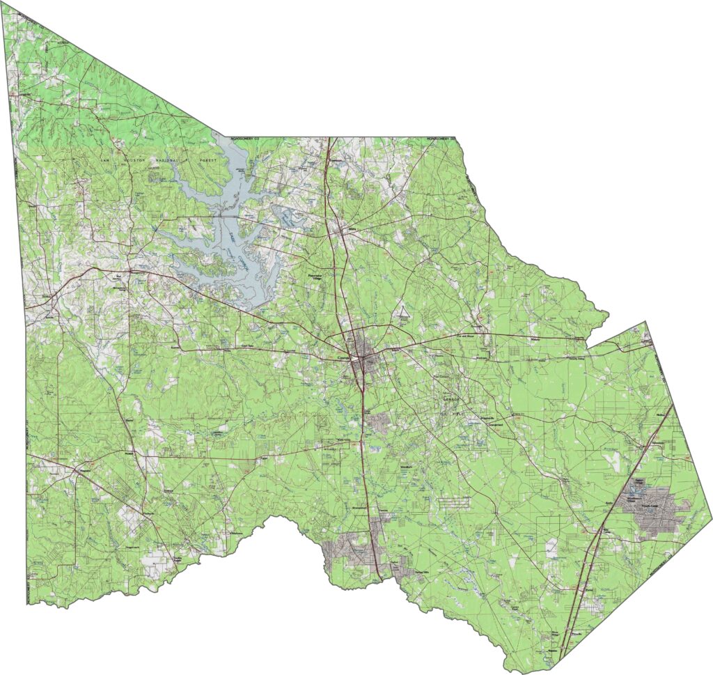
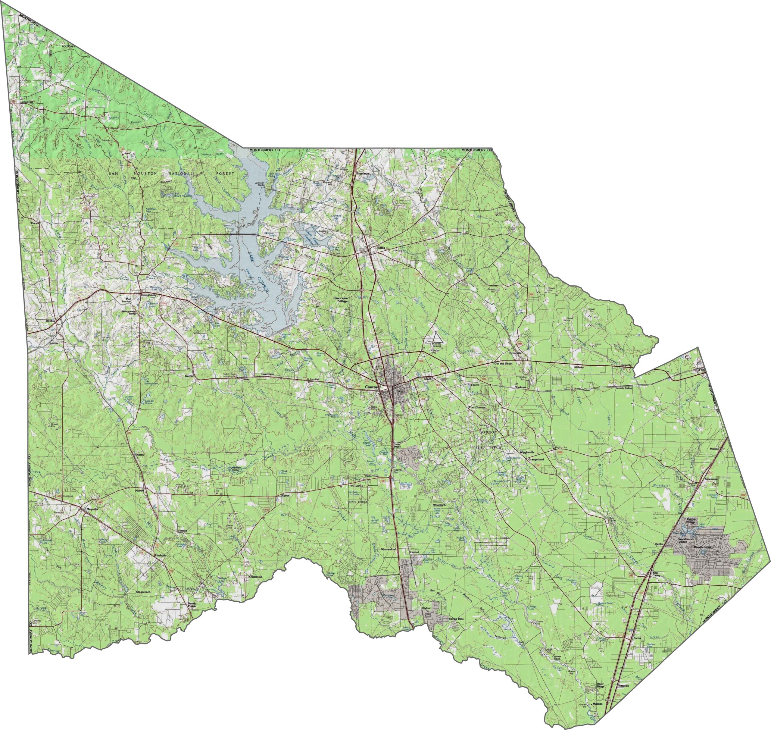
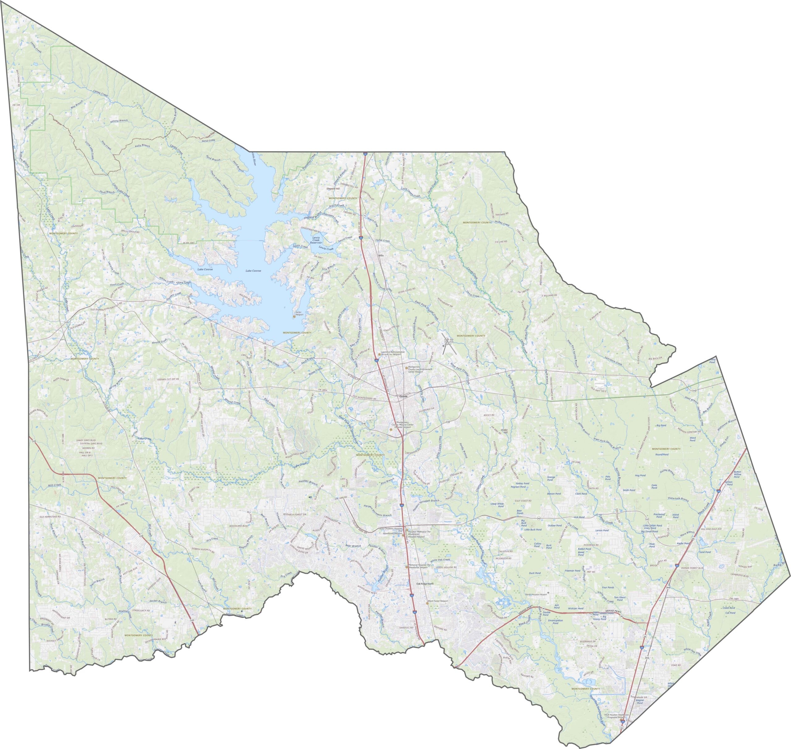
The terrain is varied for this part of Texas. The San Jacinto River system runs through the county, feeding into Lake Conroe. Elevation rises toward the northwest, with gentle hills and dense woods. Water and forest give the area a layered, natural look.
I-40 is the main highway in Montgomery County, running north to south through the area. Highways extend outward from Houston to the south. Traffic is heavier in the southern part of the county and quieter near the forested north.
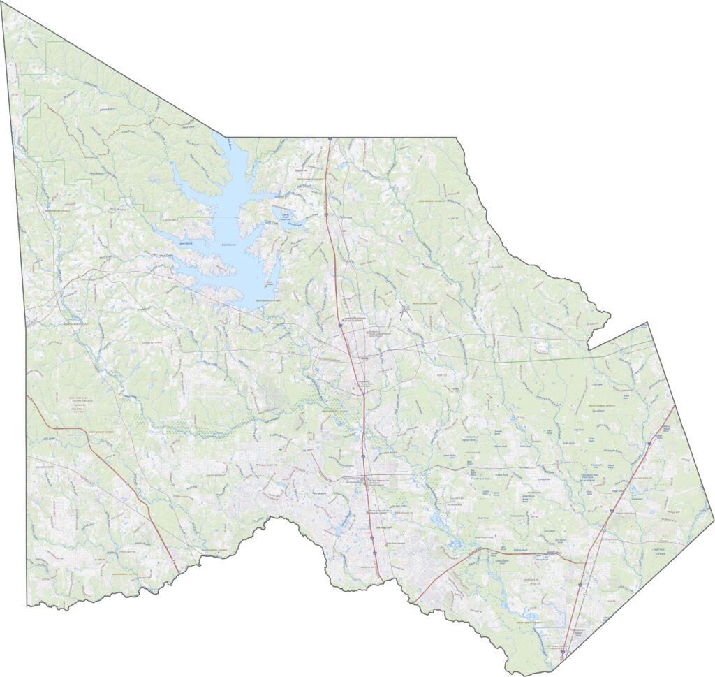
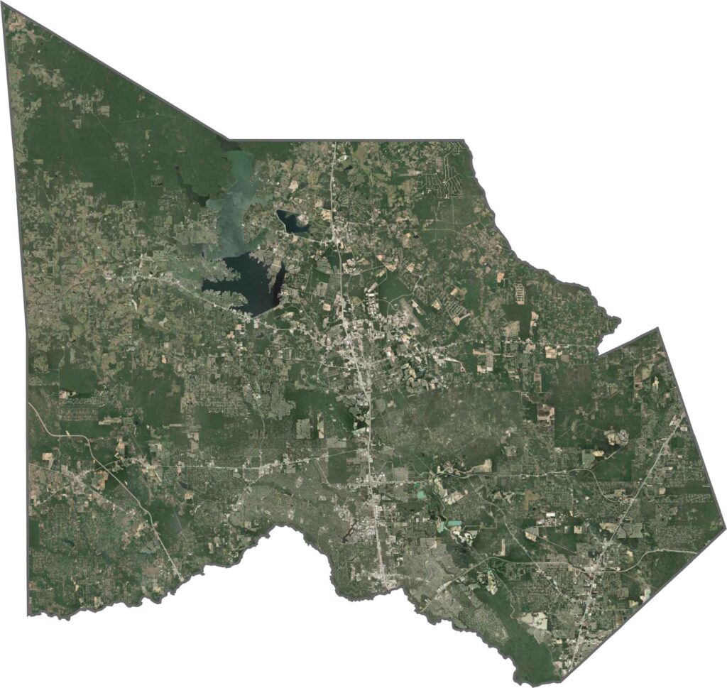
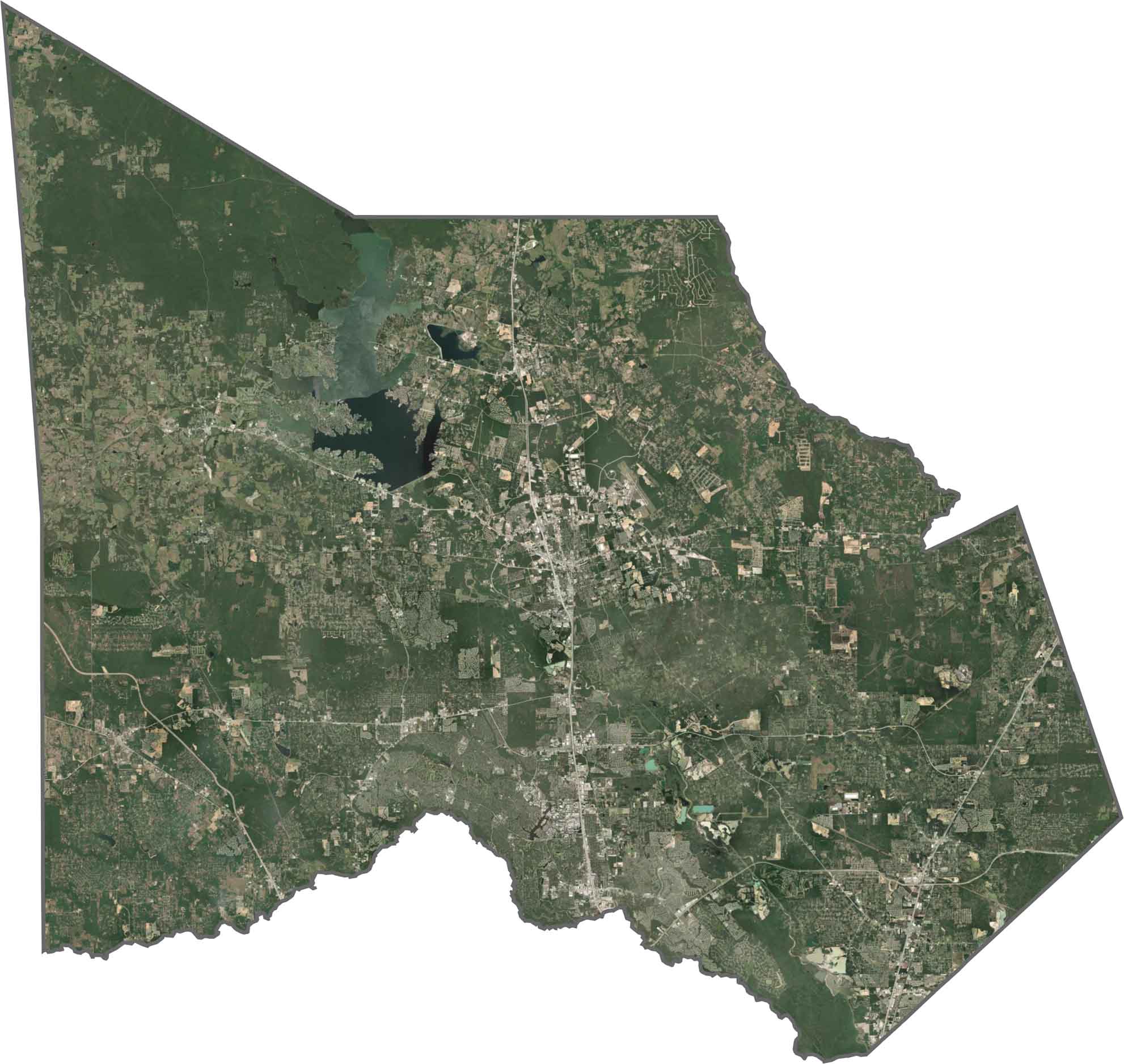
The satellite view shows a mix of forest and development. Lake Conroe appears as a dark, branching shape in the north, while patches of green and tan reveal a combination of suburbs, wooded areas, and construction.
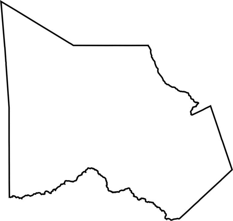
Montgomery County has an irregular shape. It doesn’t border another state, but it shares boundaries with several fast-growing counties north of Houston.








Discover all 254 legendary Texas county maps, covering the Lone Star State from the Panhandle to the Rio Grande. That means more rodeos, honky-tonk, and Texas BBQ.