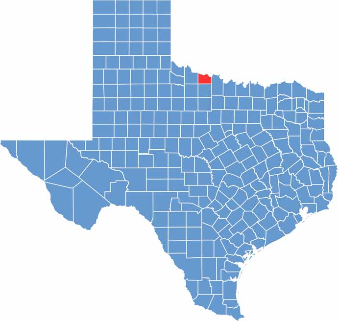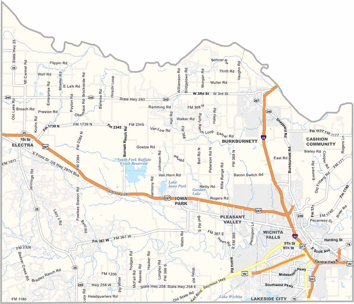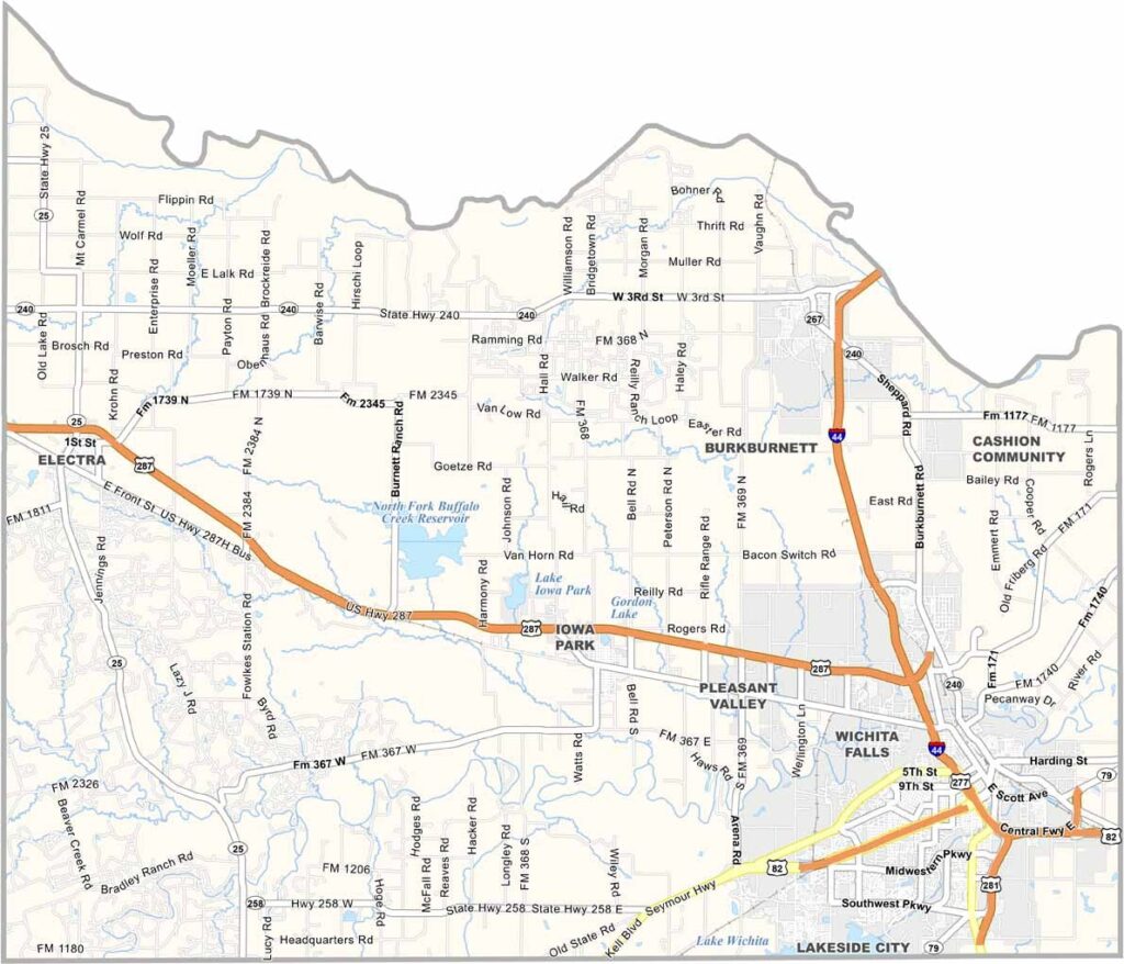
Wichita County sits along the Red River in North Texas, sharing its northern border with Oklahoma. At its center is Wichita Falls, the county seat and largest city, known for its welcoming spirit and lively character. It’s a place where small-town friendliness meets urban energy.
Sheppard Air Force Base plays a major role in the local economy, bringing military personnel and visitors from around the world. Downtown Wichita Falls is also home to the famous "world’s smallest skyscraper," a quirky landmark that has become one of the city’s most recognizable attractions.
Each year, thousands of cyclists gather here for the renowned Hotter’N Hell Hundred, one of the largest cycling events in the country. Like much of North Texas, drought is a constant challenge, but the community has learned to adapt and thrive. As the day comes to an end, the wide-open skies reward residents and visitors alike with unforgettable Texas sunsets.