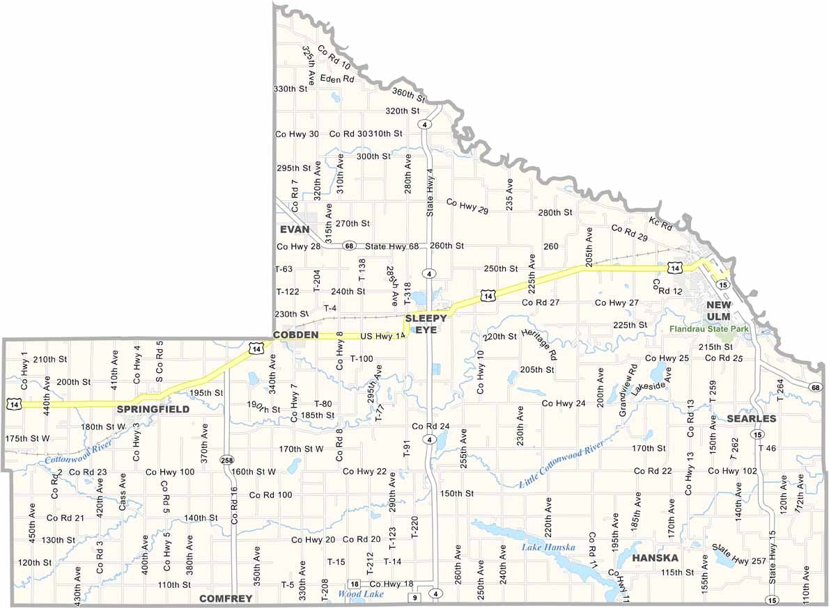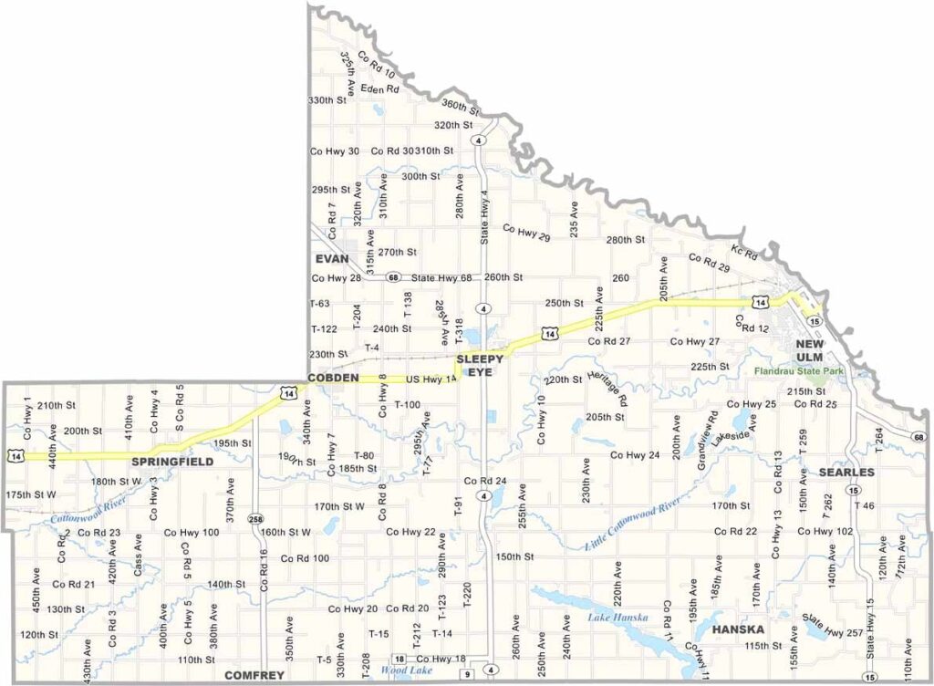
Brown County Map, Minnesota

Brown County, Minnesota

In the heart of southern Minnesota lies Brown County. Farmland dominates the landscape, with fields of corn and soybeans. New Ulm, the county seat, boasts a rich German heritage.

You'll find folks gathering at county fairs, high school football games, and neighborhood barbecues. The Minnesota River forms the county's northern border, and the county sits about 100 miles southwest of Minneapolis.

Locals take pride in their strong sense of community. Despite its rural character, Brown County isn't stuck in the past. It's home to innovative businesses and a really nice arts scene.
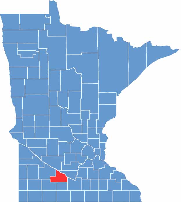

Brown County location map of Minnesota
CategoryDetails
County NameBrown County
County SeatNew Ulm
PopulationApproximately 24,000
Cities, Towns, and CommunitiesNew Ulm, Sleepy Eye, Springfield, Hanska, Cobden, Comfrey
Interstates and HighwaysUS 14, MN 4, MN 15, MN 68
FIPS Code27-015
Total Area (Land and Water)618 square miles (Land: 611 sq mi, Water: 7 sq mi)
Adjacent Counties (and Direction)Nicollet County (Northeast), Blue Earth County (Southeast), Watonwan County (South), Cottonwood County (Southwest), Redwood County (West), Renville County (Northwest)
Time ZoneCentral Time Zone (CT)
StateMinnesota
Coordinates44.2448° N, 94.7250° W
EtymologyNamed after Joseph Renshaw Brown, an early settler and legislator
Major LandmarksHermann Heights Park, Flandrau State Park, August Schell Brewery, Wanda State Wildlife Management Area
Scroll to Top