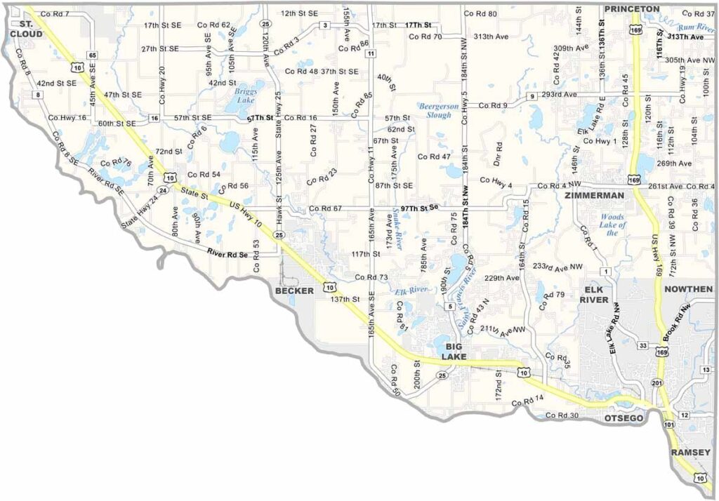
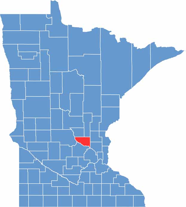
Sherburne County sits in central Minnesota, straddling the line between suburban comfort and rural beauty. It's where the Mississippi River and Elk River meet.
Elk River, the county seat, is a small city with a quaint downtown that's perfect for a weekend stroll. You can't beat the fishing here, as the county has a bunch of lakes and rivers that will keep anglers busy year-round.
Fall colors are some of the best in the state, with maples and oaks putting on a show. The county is growing fast, attracting folks who want a taste of small-town life with easy access to the Twin Cities.
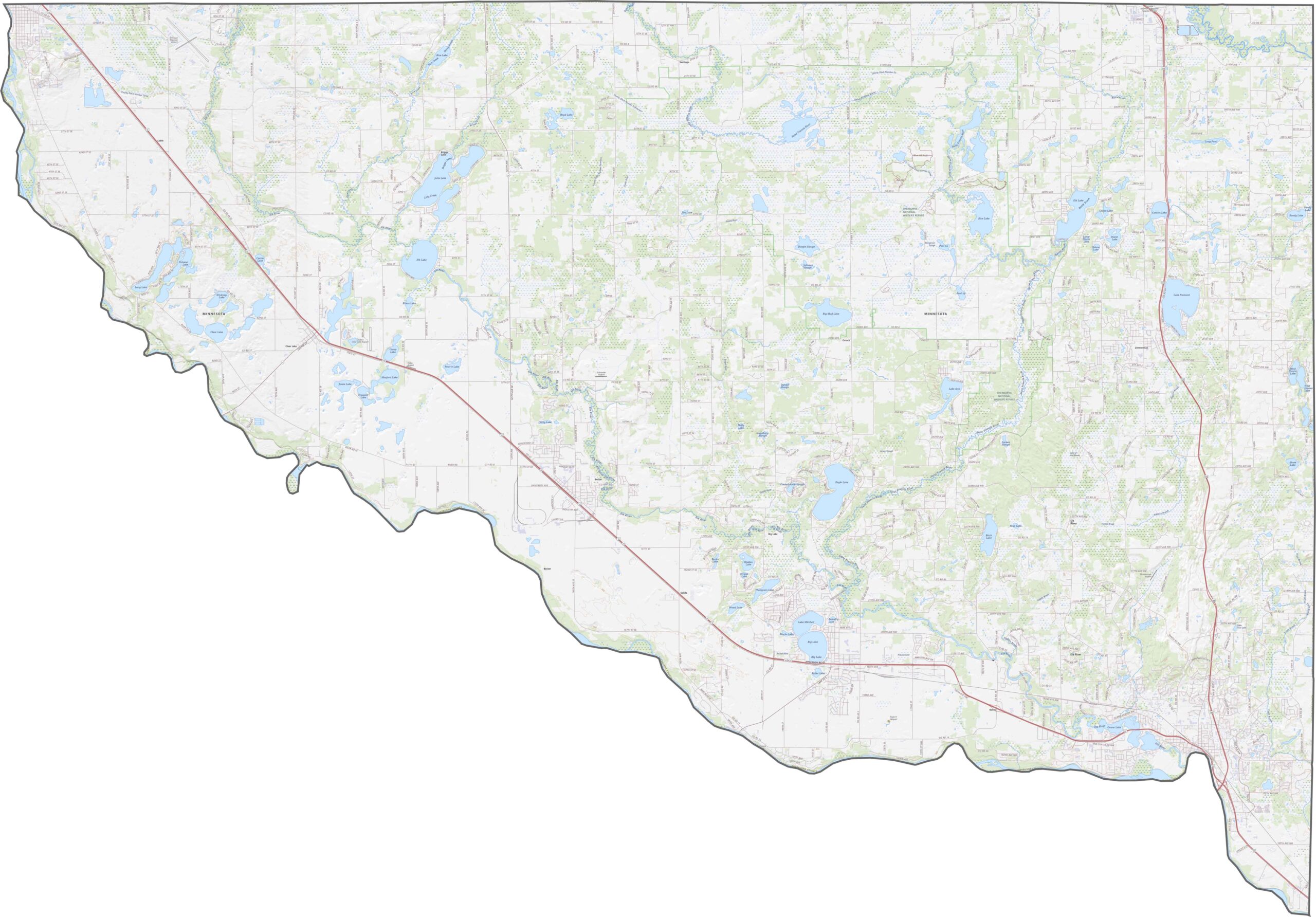
If you need to get to Minneapolis fast, Sherburne County's highways make it pretty easy. U.S. Highway 10 runs straight across the county from east to west, while U.S. Highway 169 cuts north to south and passes right through Elk River, the county seat. There's also a good network of county roads connecting places like Zimmerman, Becker, and Big Lake.
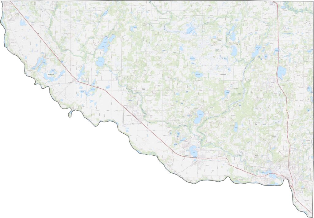
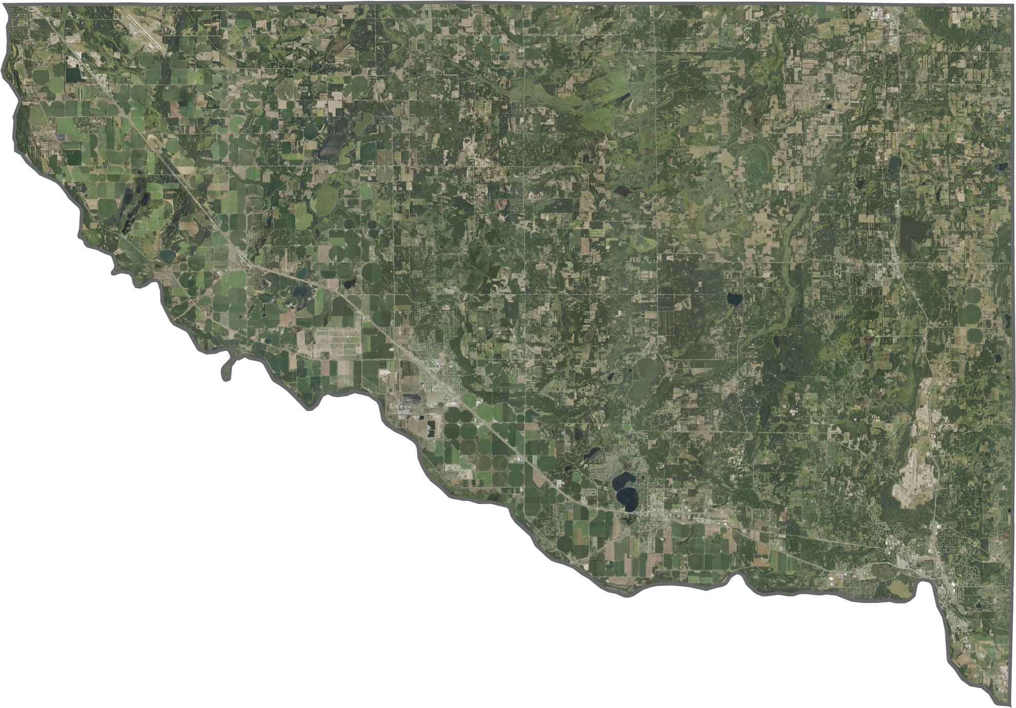
Looking from above, you'll spot a mix of open farmland, patches of forest, and plenty of rivers and lakes. The Mississippi River is easy to pick out because of how wide it gets along the county's edge. Towns like Elk River and Big Lake look small but stand out because they have more streets and urban areas.
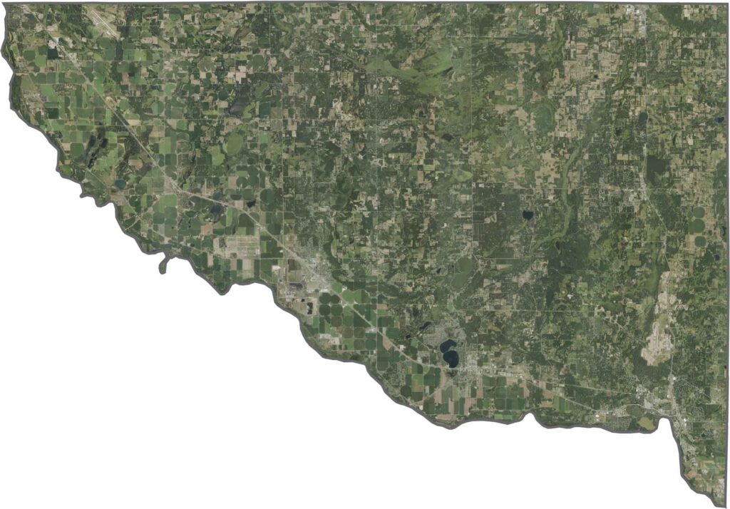
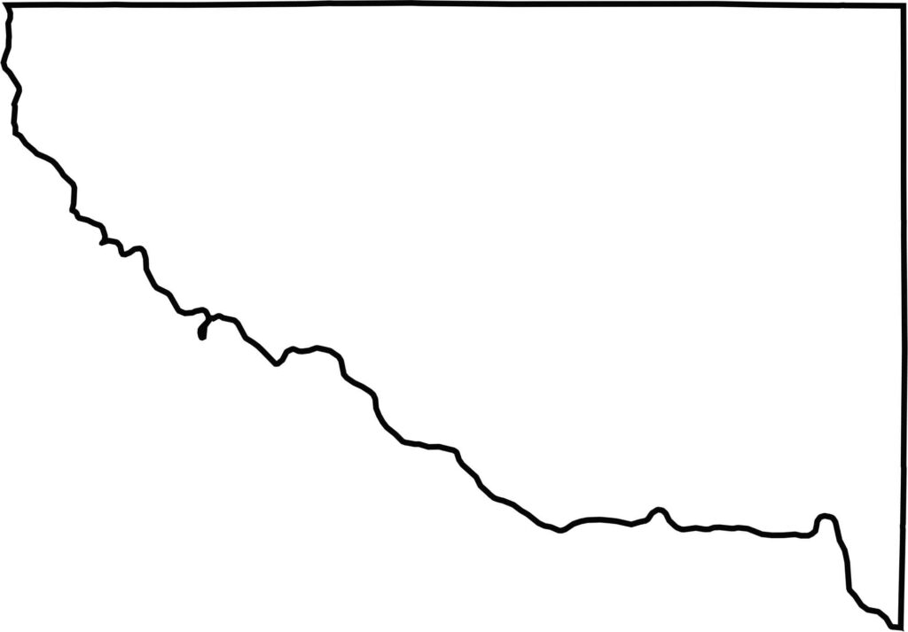
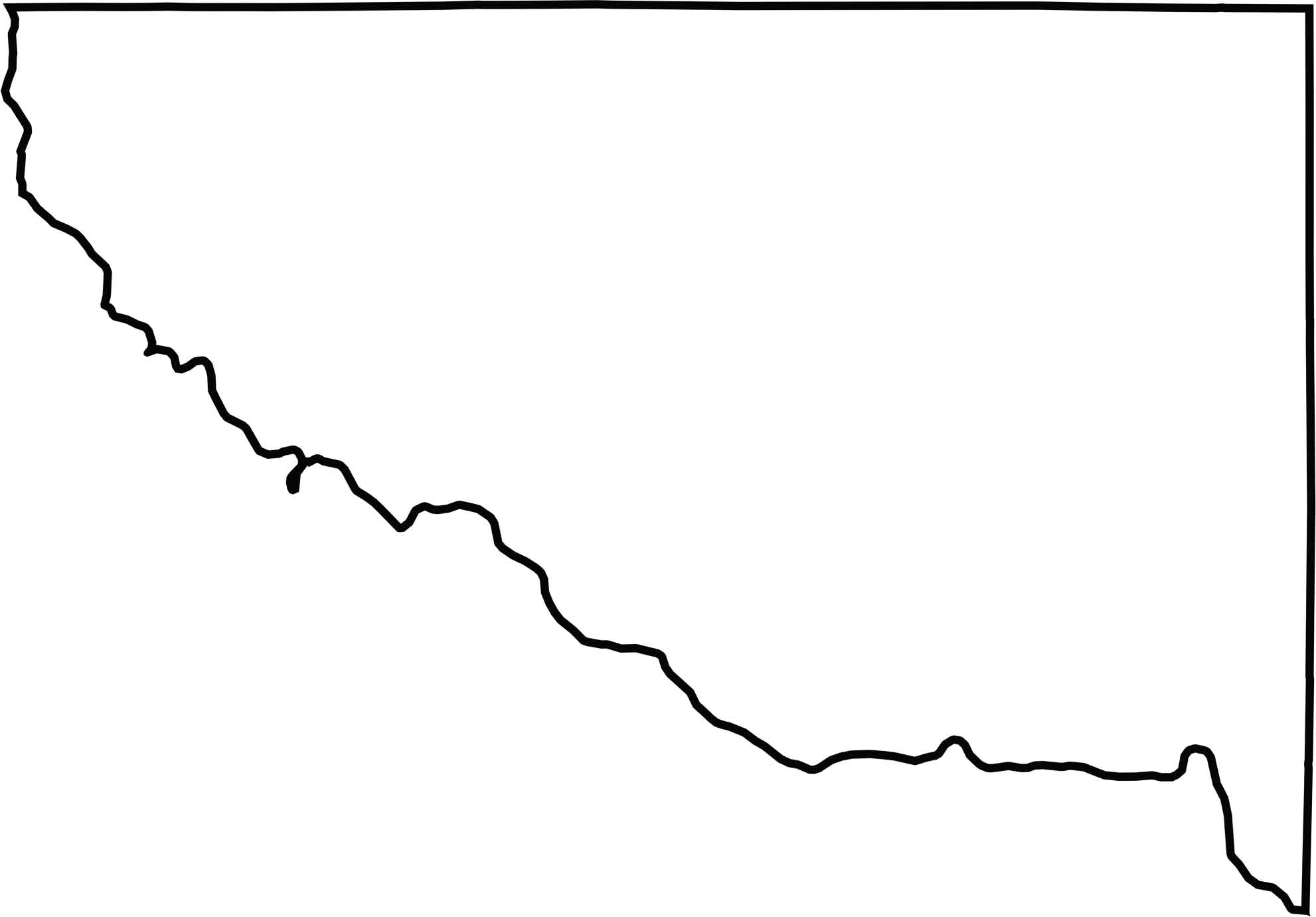
Sherburne County's outline looks almost rectangular, but the south has some curves along the boundary.