
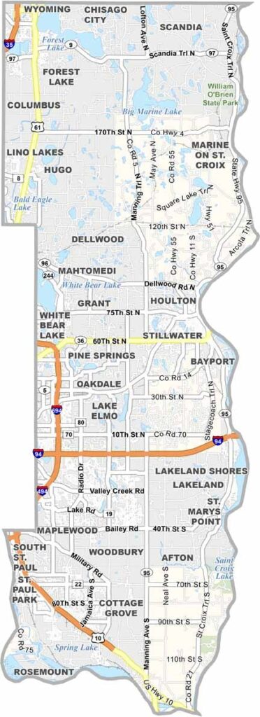
The St. Croix River forms the eastern border of Washington County, separating Minnesota from Wisconsin. It's one of the seven counties that make up the Twin Cities metro area, sitting just east of St. Paul.
People have been drawn to its natural beauty for centuries, with rolling hills, pristine lakes, and lush forests defining the landscape. Stillwater, the county seat, is known for its charming downtown and historic lift bridge.
People come here year-round. In summer, you'll find folks hiking, fishing, and boating, while winter brings cross-country skiing and ice fishing.
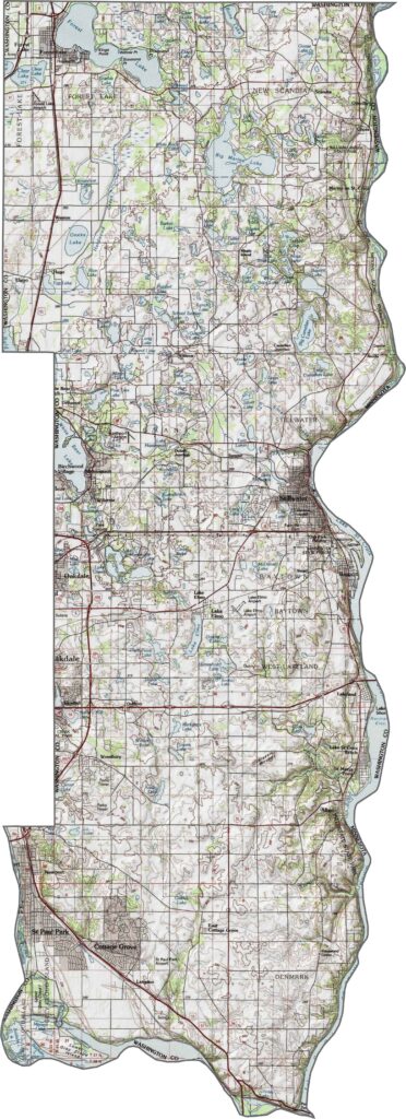
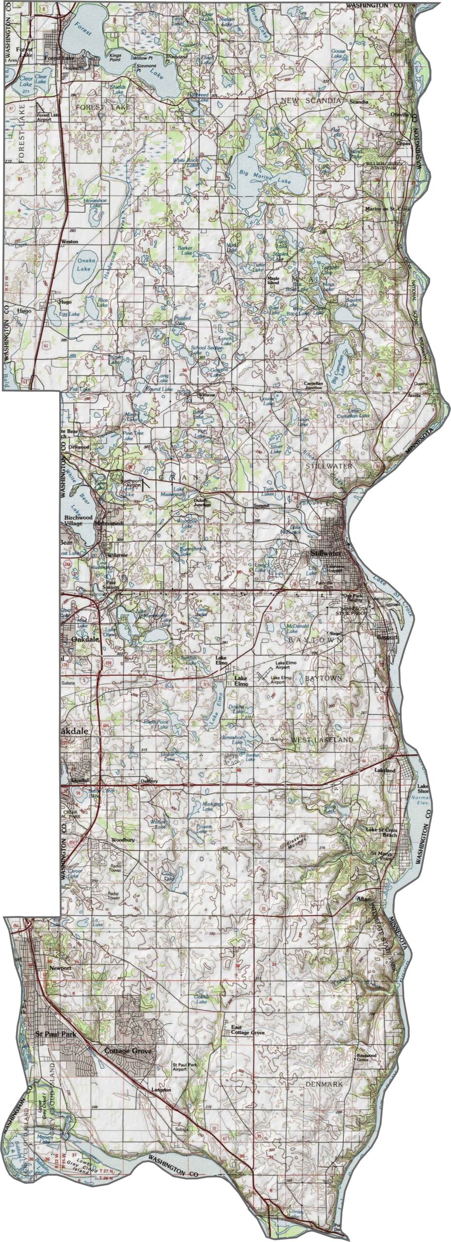
Washington County has rolling hills, river valleys, and lots of lakes. The St. Croix River makes up the eastern border, with low areas near the water. The hills are easy to spot closer to Stillwater. Find out more with our zoom tool and topographic map below.
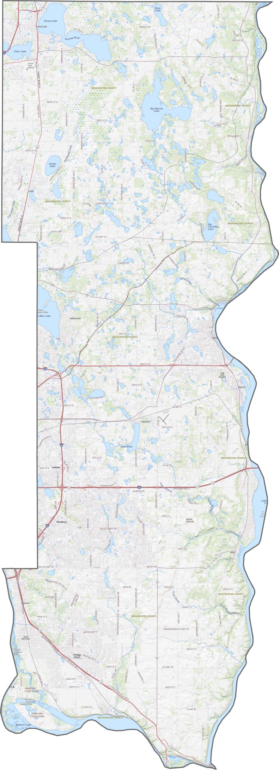
Interstate 94 runs across the north part of the county, while U.S. Highway 61 heads south in the northwest region. Minnesota Highways 36 and 95 help connect towns along the St. Croix River.
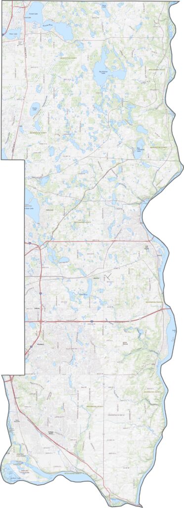
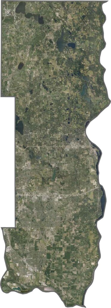
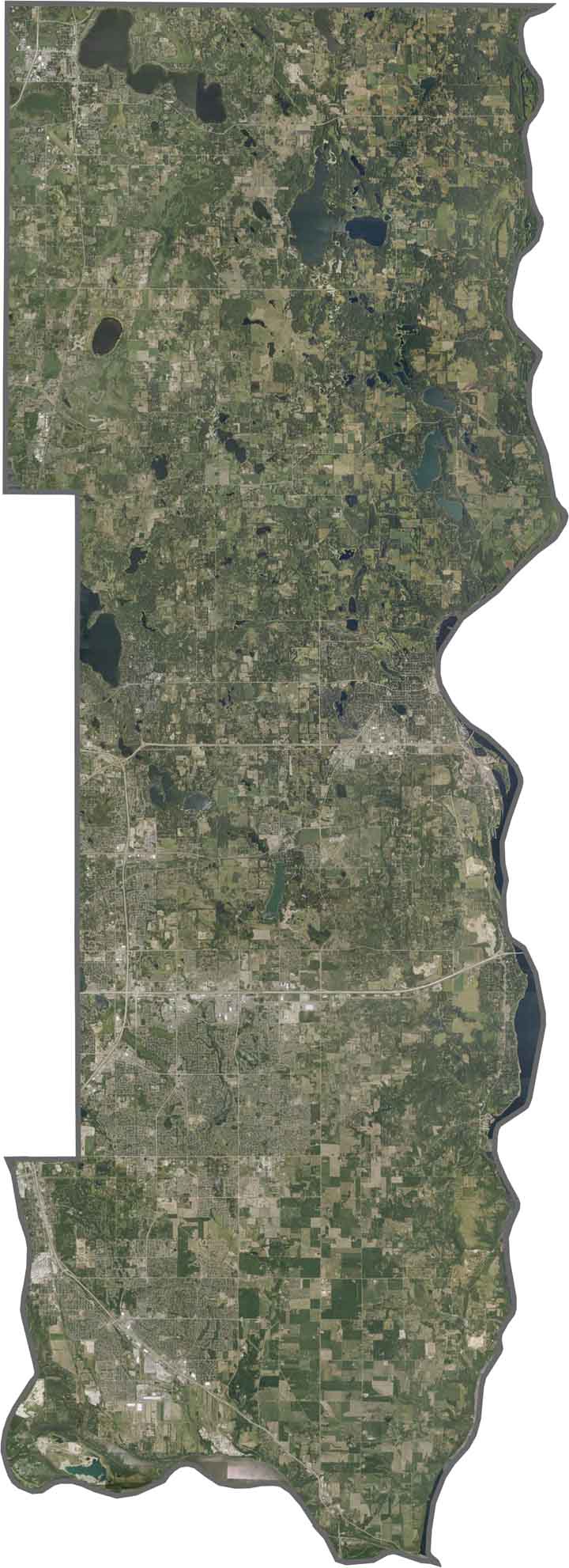
From above, Washington County looks busy near the Twin Cities and more wooded closer to the river. Forest Lake and Stillwater show up clearly. You'll also see a lot of small lakes and green spaces mixed with neighborhoods.
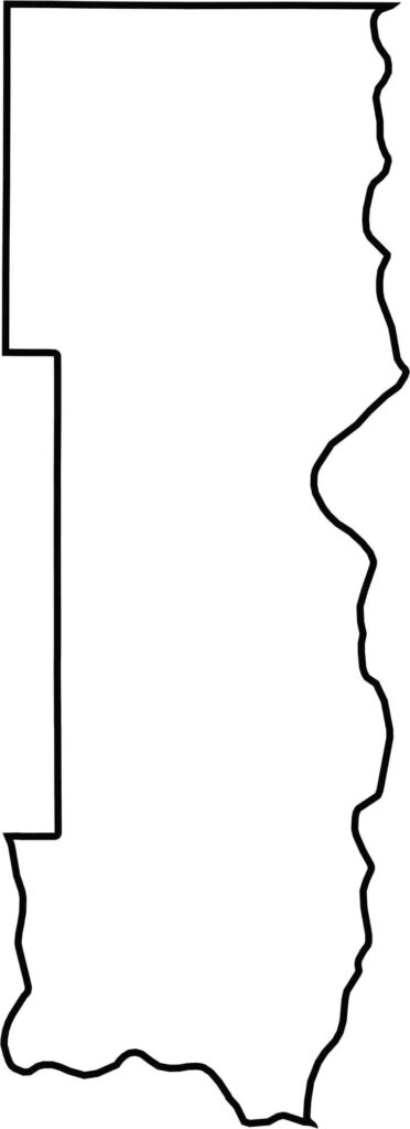
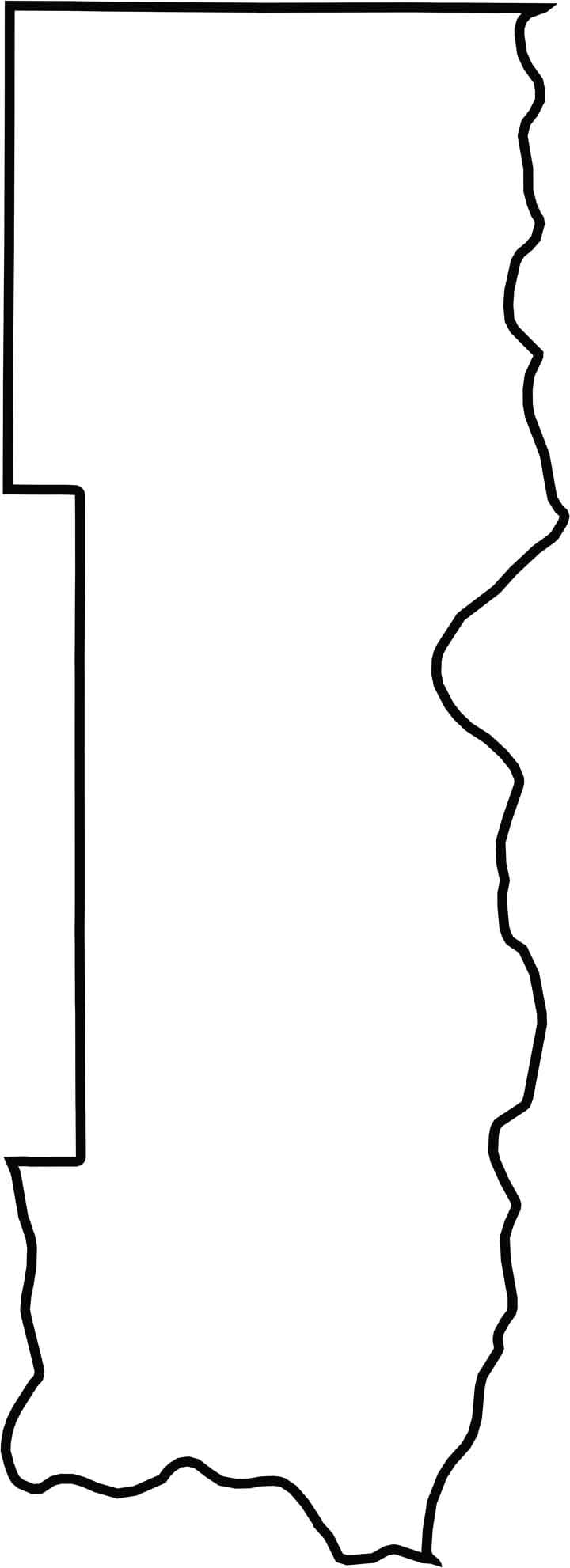
The outline map shows a long, narrow county running north to south. It borders Wisconsin across the St. Croix River. The shape is stretched and curves along the river, giving it a natural boundary.







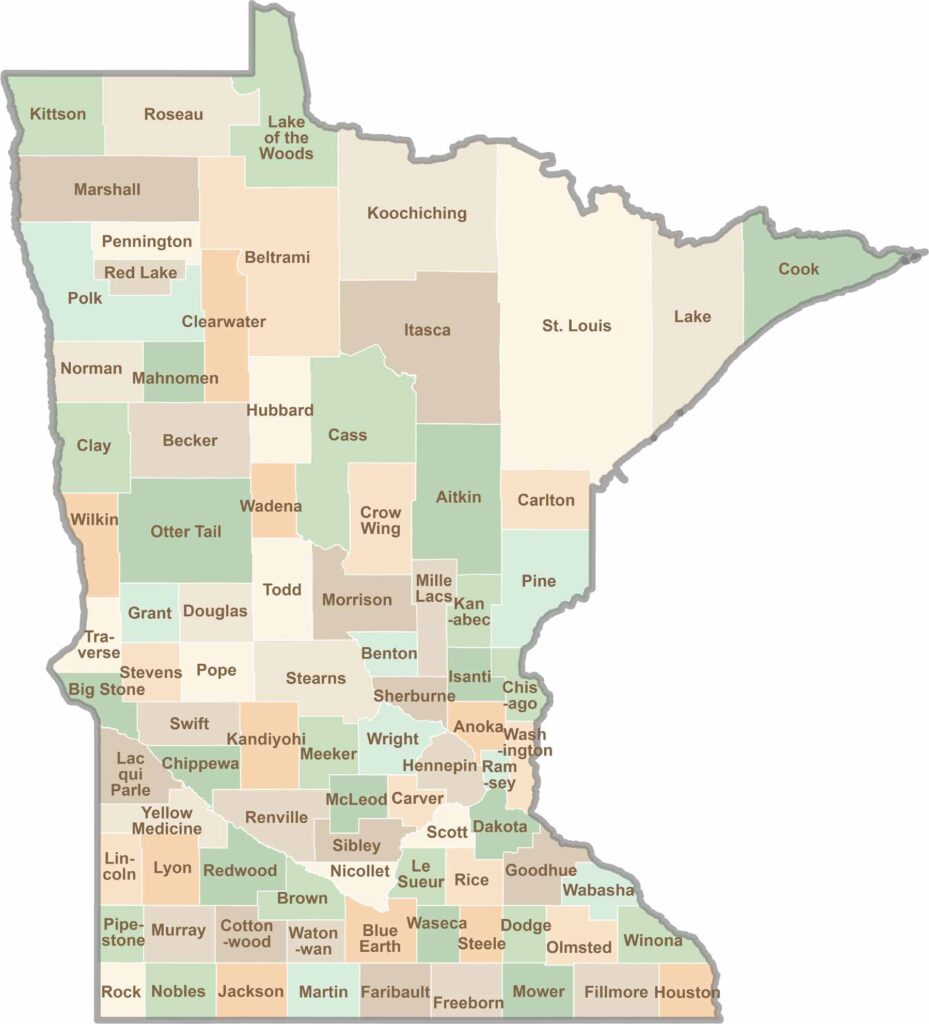
Land of 10,000 Lakes? How about the land of 87 counties to explore? Say hello to Hennepin County (Minneapolis) or the shores of Lake Superior. Get to know all the counties of Minnesota right here.