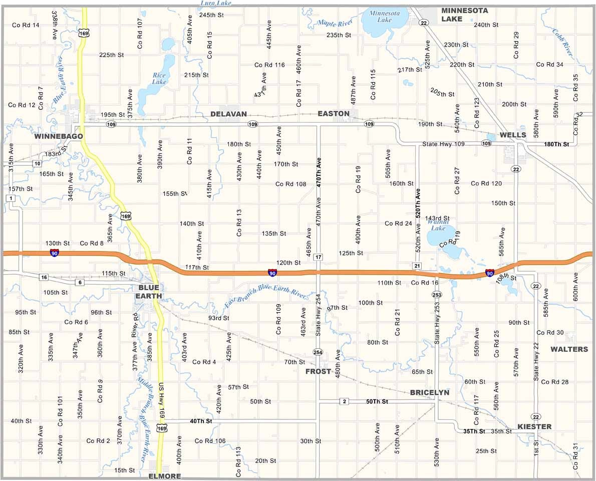
Faribault County Map, Minnesota

Faribault County, Minnesota

Southern Minnesota has a section of prairie called Faribault County. It sits right on the Iowa border, about two hours south of the Twin Cities. The county has some great fishing spots too, with walleye, northern pike, you name it.

Blue Earth, the biggest town and the county seat, is home to the jolly Green Giant statue. Yeah, that Green Giant. It's 55 feet tall and kind of goofy, but the locals love it.

Farming is a big deal in these parts, and corn and soybeans are the most common crops. There's also a cool vintage car show in Wells every summer.
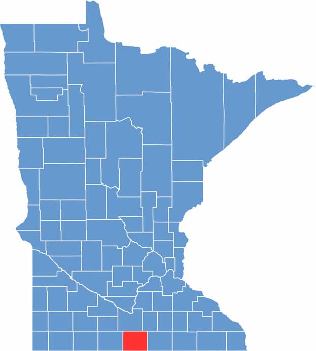

Faribault County location map of Minnesota
CategoryDetails
County NameFaribault County
County SeatBlue Earth
PopulationApproximately 13,000
Cities, Towns, and CommunitiesBlue Earth, Wells, Winnebago, Elmore, Kiester, Bricelyn, Delavan, Minnesota Lake
Interstates and HighwaysI-90, US 169, MN 22, MN 109, MN 253
FIPS Code27-043
Total Area (Land and Water)722 square miles (Land: 712 sq mi, Water: 10 sq mi)
Adjacent Counties (and Direction)Blue Earth County (North), Waseca County (Northeast), Freeborn County (East), Winnebago County, Iowa (Southeast), Kossuth County, Iowa (Southwest), Martin County (West)
Time ZoneCentral Time Zone (CT)
StateMinnesota
Coordinates43.6837° N, 94.0834° W
EtymologyNamed after Jean-Baptiste Faribault, an early French-Canadian fur trader
Major LandmarksGreen Giant Statue Park, Faribault County Fairgrounds, Faribault County Historical Society
Scroll to Top