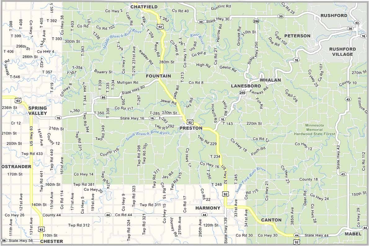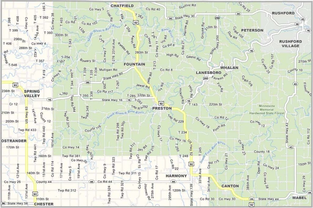
Fillmore County Map, Minnesota

Fillmore County, Minnesota

If you're looking for a piece of pure Midwestern charm, head to Fillmore County in the southeastern corner of Minnesota. The entire county is basically the Minnesota Memorial Hardwood State Forest.

It's Amish country down here, and the landscape is almost all rolling hills and limestone bluffs. Preston, the county seat, calls itself "America's Trout Capital." They're not kidding. The fishing here is incredible.

Lanesboro is the artsy town, with galleries and a professional theater. It's also the hub of the Root River Trail, a 60-mile bike path that will take your breath away. Yeah, it's an acquired taste, but it's pure Minnesota.
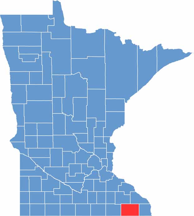

Fillmore County location map of Minnesota
CategoryDetails
County NameFillmore County
County SeatPreston
PopulationApproximately 21,000
Cities, Towns, and CommunitiesPreston, Spring Valley, Chatfield, Harmony, Lanesboro, Rushford, Mabel, Ostrander
Interstates and HighwaysUS 52, MN 16, MN 30, MN 43, MN 44
FIPS Code27-045
Total Area (Land and Water)862 square miles (Land: 861 sq mi, Water: 1 sq mi)
Adjacent Counties (and Direction)Winona County (Northeast), Houston County (East), Winneshiek County, Iowa (Southeast), Howard County, Iowa (Southwest), Mower County (West), Olmsted County (Northwest)
Time ZoneCentral Time Zone (CT)
StateMinnesota
Coordinates43.6718° N, 92.0801° W
EtymologyNamed after Millard Fillmore, the 13th President of the United States
Major LandmarksMystery Cave State Park, Root River State Trail, Historic Forestville, Lanesboro Dam
Scroll to Top