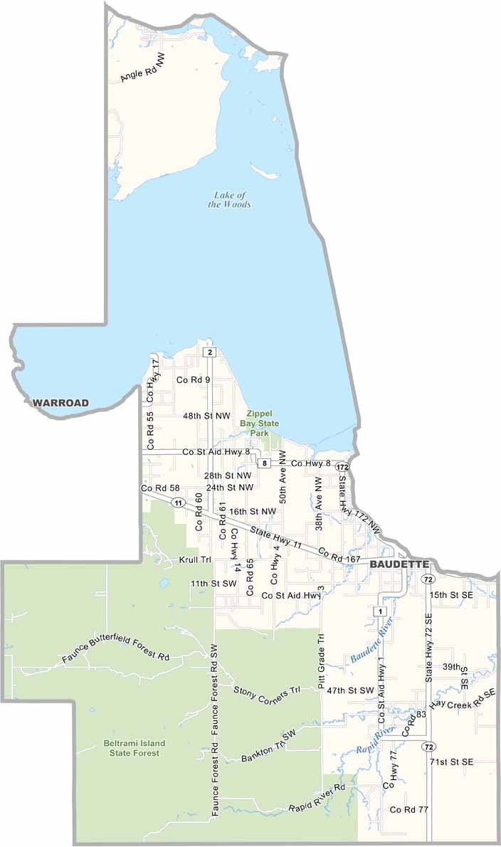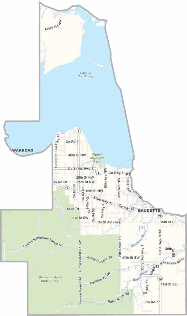
Lake of the Woods County Map, Minnesota

Lake of the Woods County, Minnesota

Lake of the Woods County sits at the very top of Minnesota, right where the state meets Canada and a small slice of Manitoba. It's about as far north as you can get in the Lower 48.

Baudette, the county seat, is a town that lives and breathes fishing. The lake itself is enormous, with more than a million acres of water and 14,000 islands. Walleye is the big draw, but northern pike and muskie are plentiful too. Say hello to Husky the Muskie while you're at it!

There's more to the county than fishing, though. Zippel Bay State Park is a great spot for camping and bird watching, and logging is still a big part of local life, so expect to see trucks stacked high with timber. If you're chasing the northern lights, this is prime viewing territory. Just bundle up, because the cold here can freeze your eyelashes.
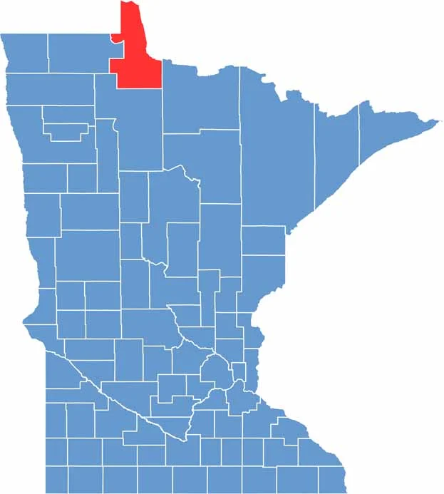

Lake of the Woods County location map of Minnesota
CategoryDetails
County NameLake of the Woods County
County SeatBaudette
PopulationApproximately 3,900
Cities, Towns, and CommunitiesBaudette, Williams, Angle Inlet, Clementson, Graceton, Birchdale, Roosevelt
Interstates and HighwaysMN 11, MN 72, MN 172
FIPS Code27-077
Total Area (Land and Water)1,775 square miles (Land: 1,298 sq mi, Water: 477 sq mi)
Adjacent Counties (and Direction)Koochiching County (Southeast), Beltrami County (South), Roseau County (West)
Time ZoneCentral Time Zone (CT)
StateMinnesota
Coordinates48.7122° N, 94.5994° W
EtymologyNamed after Lake of the Woods, a large freshwater lake that partially lies in the county
Major LandmarksZippel Bay State Park, Lake of the Woods, Wheeler’s Point, Rainy River
Scroll to Top