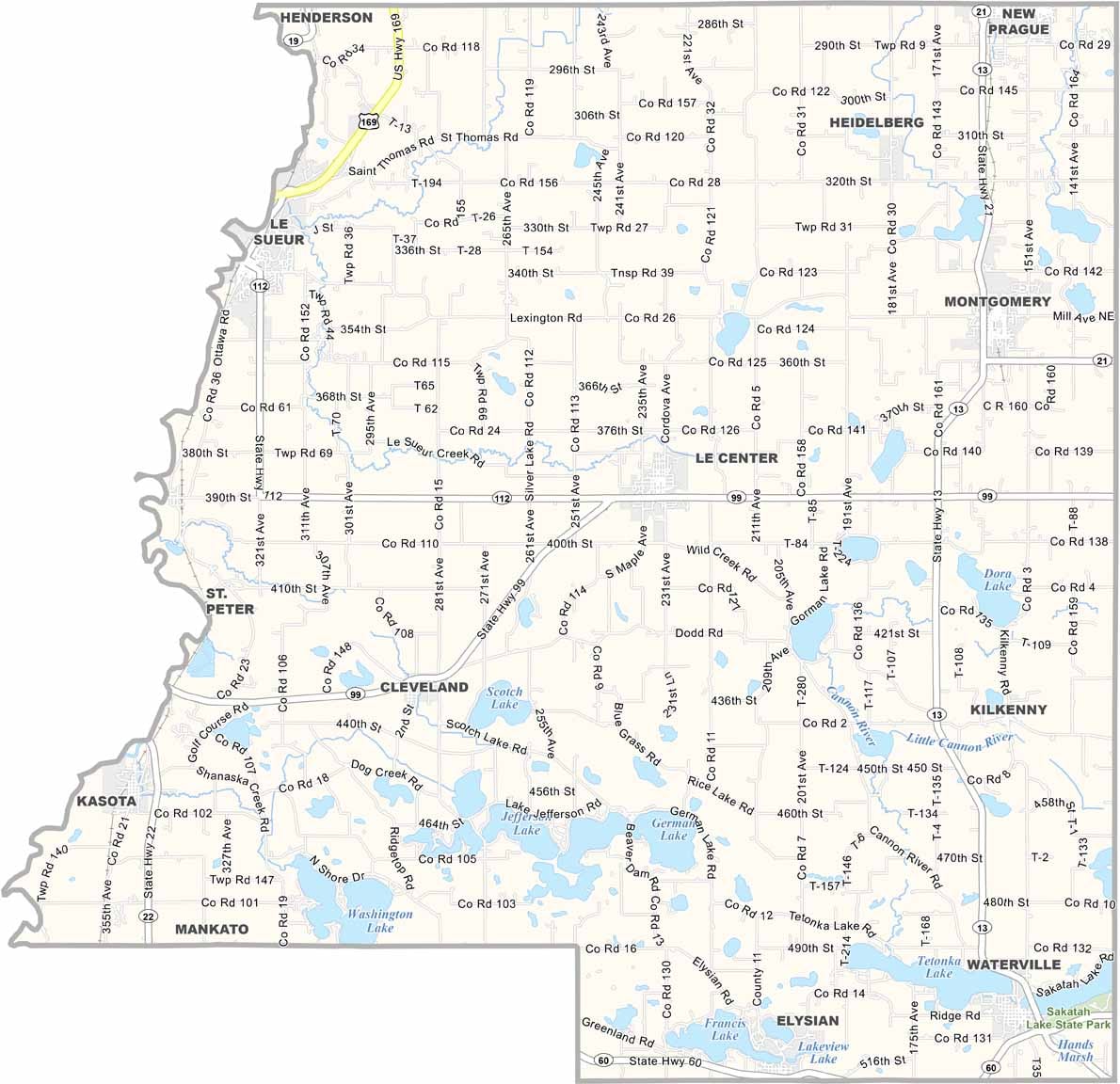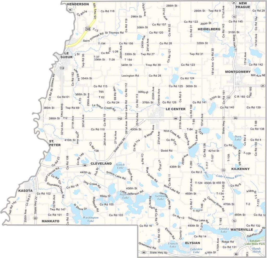
Le Sueur County Map, Minnesota

Le Sueur County, Minnesota

Le Sueur County sits just an hour southwest of the Twin Cities, right where the big-city bustle starts giving way to proper Minnesota farmland. The town of Le Sueur is the namesake community, famous for the Green Giant. Yes, that Green Giant.

The Minnesota River forms the western border, drawing plenty of canoeists and anglers. Lakes are everywhere you look, and German Lake is a local favorite for swimming and picnicking.

The county also has some serious history. Don't miss the Le Sueur County Pioneer Power Show if you're into vintage tractors and threshing machines. It's a big deal around here.
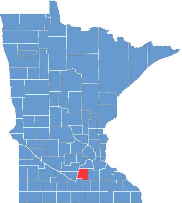

Le Sueur County location map of Minnesota
CategoryDetails
County NameLe Sueur County
County SeatLe Center
PopulationApproximately 29,000
Cities, Towns, and CommunitiesLe Center, Le Sueur, Cleveland, Elysian, Montgomery, Waterville, Kasota, Kilkenny, Heidelberg
Interstates and HighwaysUS 169, MN 13, MN 19, MN 60, MN 99
FIPS Code27-079
Total Area (Land and Water)474 square miles (Land: 449 sq mi, Water: 25 sq mi)
Adjacent Counties (and Direction)Scott County (North), Rice County (East), Waseca County (South), Blue Earth County (Southwest), Nicollet County (West), Sibley County (Northwest)
Time ZoneCentral Time Zone (CT)
StateMinnesota
Coordinates44.3831° N, 93.7298° W
EtymologyNamed after Pierre-Charles Le Sueur, a French explorer who traveled the Minnesota River
Major LandmarksSakatah Lake State Park, Ney Nature Center, German Lake, Waterville Lake
Scroll to Top