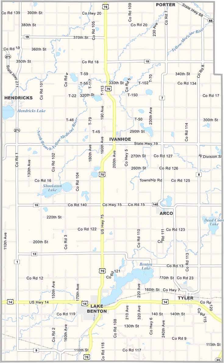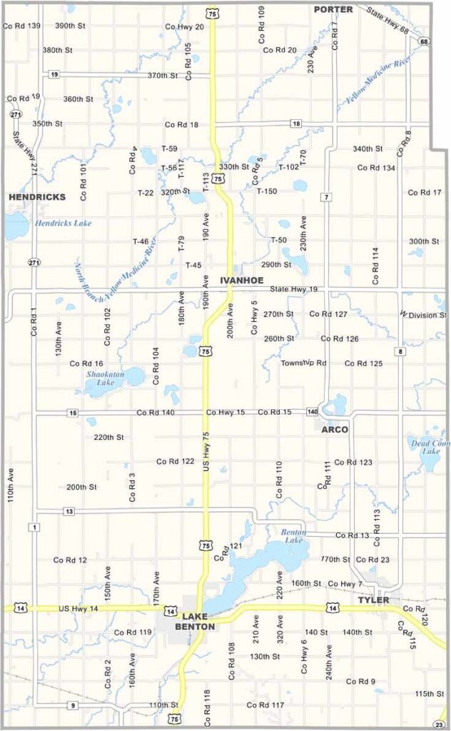
Lincoln County Map, Minnesota

Lincoln County, Minnesota

Lincoln County sits on the western edge of Minnesota, right up against South Dakota. It's about as rural as it gets. Ivanhoe is the county seat, but don't expect much more than a main street and a couple of stoplights.

Farmers here grow corn, soybeans, and other crops, with the fields broken up by the occasional patch of trees around a farmhouse. Lake Benton is the local hotspot, popular for fishing and boating.

You'd never guess it, but this quiet county is a powerhouse in wind energy. Huge turbines cover the landscape, spinning away in the prairie winds. And don't miss the county fair in Tyler. It's small, but it's got heart.
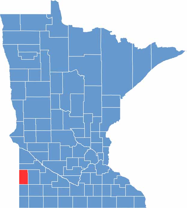

Lincoln County location map of Minnesota
CategoryDetails
County NameLincoln County
County SeatIvanhoe
PopulationApproximately 5,500
Cities, Towns, and CommunitiesIvanhoe, Hendricks, Lake Benton, Tyler, Arco, Verdi, Porter, Wilno
Interstates and HighwaysUS 14, MN 19, MN 23
FIPS Code27-081
Total Area (Land and Water)548 square miles (Land: 537 sq mi, Water: 11 sq mi)
Adjacent Counties (and Direction)Deuel County, South Dakota (Northwest), Yellow Medicine County (North), Lyon County (East), Pipestone County (South), Moody County, South Dakota (Southwest), Brookings County, South Dakota (West)
Time ZoneCentral Time Zone (CT)
StateMinnesota
Coordinates44.4250° N, 96.2636° W
EtymologyNamed after Abraham Lincoln, the 16th President of the United States
Major LandmarksHole-in-the-Mountain Prairie, Lake Benton, Lincoln County Pioneer Museum
Scroll to Top