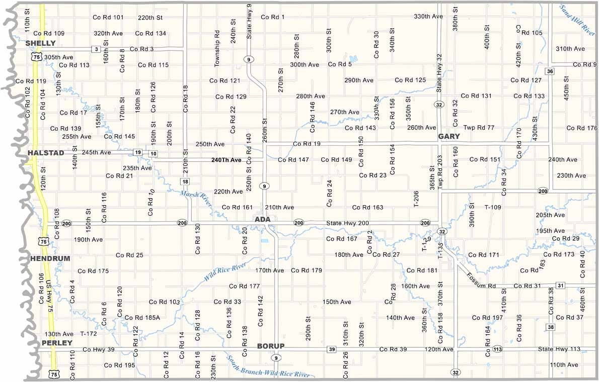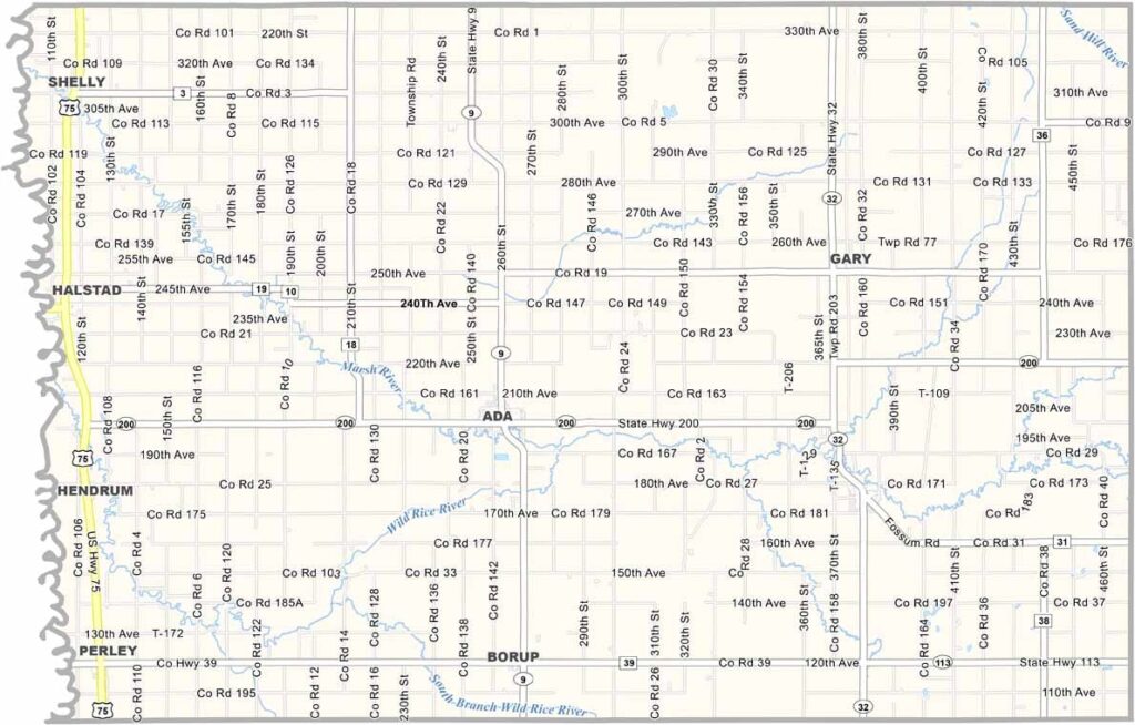
Norman County Map, Minnesota

Norman County, Minnesota

Norman County is located in the northwest corner of Minnesota. The county is named after Norman Kittson, who made his mark in the fur trade.

This is where the prairies stretch out far, and farming is the lifeblood of the county. You'll see fields of wheat, soybeans, and sugar beets all over the countryside.

The Wild Rice River snakes through the area, with spots for fishing and canoeing. Ada serves as the county seat. It's a small town with a big heart.
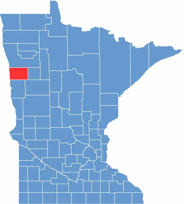

Norman County location map of Minnesota
CategoryDetails
County NameNorman County
County SeatAda
PopulationApproximately 6,400
Cities, Towns, and CommunitiesAda, Halstad, Twin Valley, Hendrum, Perley, Borup, Gary, Shelly, Flom
Interstates and HighwaysMN 9, MN 32, MN 200
FIPS Code27-107
Total Area (Land and Water)877 square miles (Land: 873 sq mi, Water: 4 sq mi)
Adjacent Counties (and Direction)Polk County (North), Mahnomen County (East), Becker County (Southeast), Clay County (South), Cass County, North Dakota (Southwest), Traill County, North Dakota (West)
Time ZoneCentral Time Zone (CT)
StateMinnesota
Coordinates47.3271° N, 96.4920° W
EtymologyNamed after Norway’s historical region of “Normandy” (Norman Land), reflecting the Norwegian heritage of many early settlers
Major LandmarksPrairie Smoke Dunes Scientific and Natural Area, Agassiz Recreational Trail, Norman County Historical and Genealogy Society
Scroll to Top