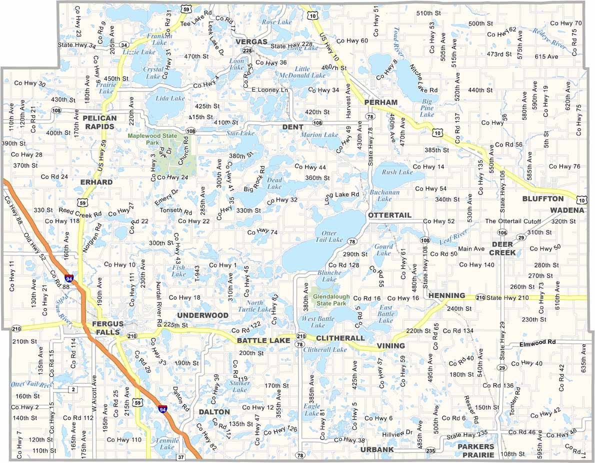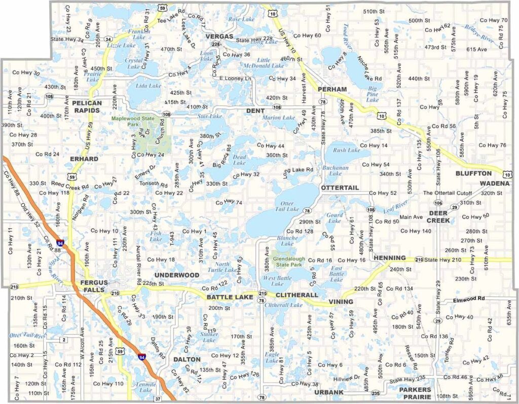
Otter Tail County Map, Minnesota

Otter Tail County, Minnesota

Lakes, lakes, and more lakes. That's what you'll find in Otter Tail County, located in the heart of west-central Minnesota.

This place is a paradise for anyone who loves water, with over a thousand lakes in the area. Fergus Falls is the county seat, a town with a rich history.

Summer here is a buzz of activity, and fishing, boating, and swimming are practically mandatory. The countryside is a patchwork of farms and forests, but mostly you'll see old barns standing tall against the sky.
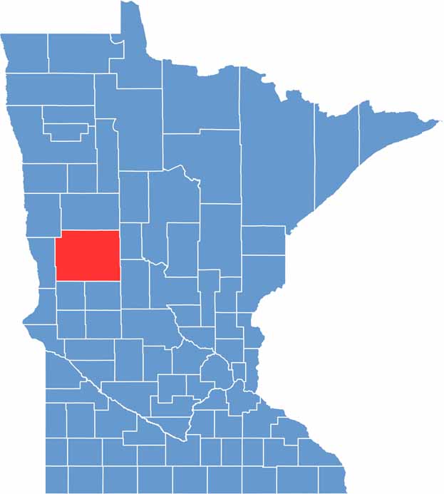

Otter Tail County location map of Minnesota
CategoryDetails
County NameOtter Tail County
County SeatFergus Falls
PopulationApproximately 61,000
Cities, Towns, and CommunitiesFergus Falls, Perham, Pelican Rapids, Battle Lake, New York Mills, Ottertail, Henning, Parkers Prairie
Interstates and HighwaysI-94, US 10, MN 78, MN 108, MN 210
FIPS Code27-111
Total Area (Land and Water)2,225 square miles (Land: 1,972 sq mi, Water: 253 sq mi)
Adjacent Counties (and Direction)Becker County (North), Wadena County (Northeast), Todd County (Southeast), Douglas County (South), Grant County (Southwest), Wilkin County (West), Clay County (Northwest)
Time ZoneCentral Time Zone (CT)
StateMinnesota
Coordinates46.4100° N, 95.7081° W
EtymologyNamed after Otter Tail Lake, which has a long tail-shaped sandbar along its southern shore
Major LandmarksGlendalough State Park, Phelps Mill, Otter Tail River, Maplewood State Park
Scroll to Top