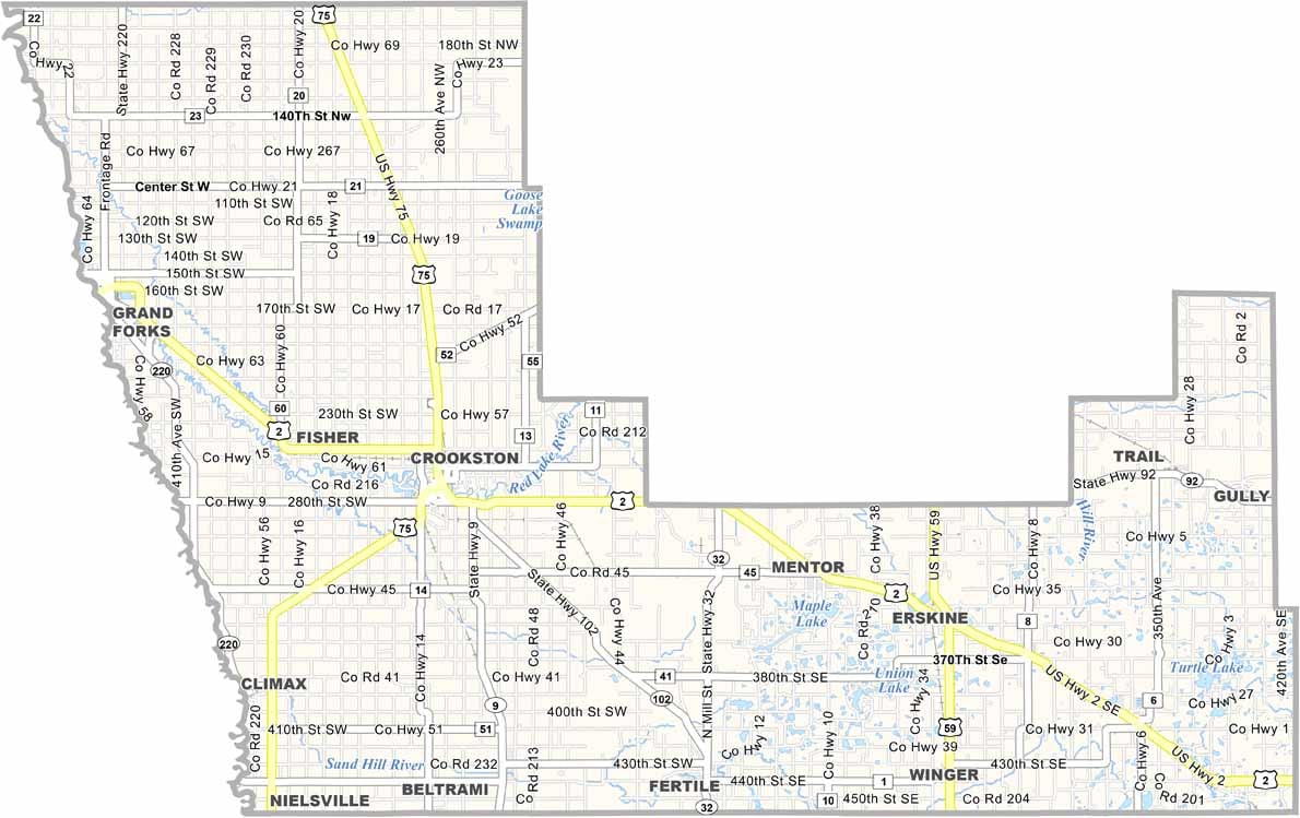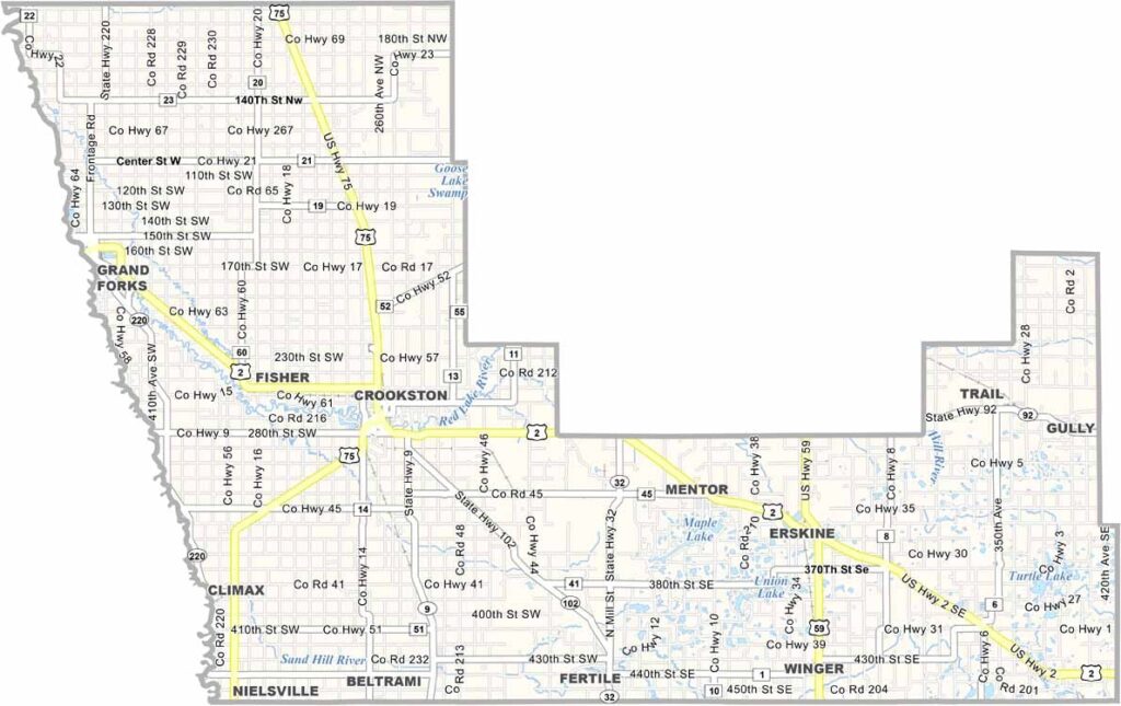
Polk County Map, Minnesota

Polk County, Minnesota

Polk County stretches across the Red River Valley in northwestern Minnesota, right up against North Dakota. It's big sky country out here.

The land is flat as a pancake, but don't let that fool you, because there's still plenty to see. Crookston serves as the county seat.

The Red Lake River cuts through the county, offering some of the best catfishing around. Farming is king in Polk County, with sugar beets, wheat, and soybeans as major crops.
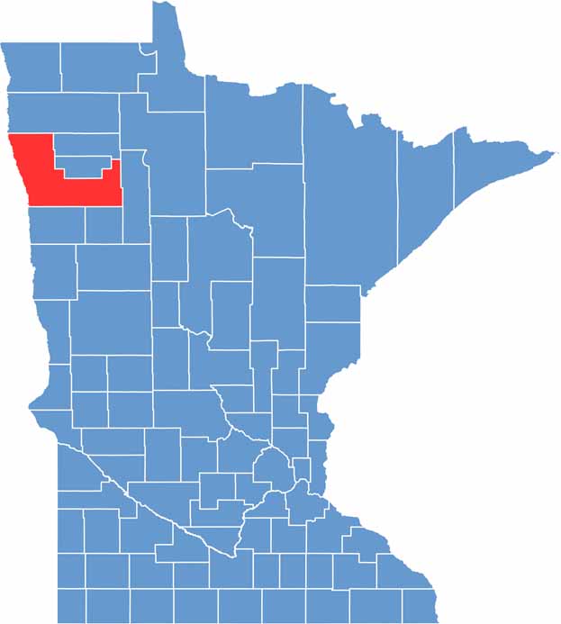

Polk County location map of Minnesota
CategoryDetails
County NamePolk County
County SeatCrookston
PopulationApproximately 30,000
Cities, Towns, and CommunitiesCrookston, East Grand Forks, Fosston, McIntosh, Thief River Falls
Interstates and HighwaysInterstate 29 (I-29), U.S. Highway 2, U.S. Highway 75
FIPS Code27-119
Total Area (Land and Water)1,476 square miles (1,374 sq mi land, 102 sq mi water)
Adjacent CountiesMarshall County (North), Pennington County (Northeast), Red Lake County (Northeast), Clearwater County (East), Mahnomen County (Southeast), Norman County (South), Traill County, North Dakota (Southwest), Grand Forks County, North Dakota (West)
Time ZoneCentral Time Zone
StateMinnesota
Coordinates47.8553° N, 96.6653° W
EtymologyNamed after John Polk, a prominent politician in the area
Major LandmarksRydell National Wildlife Refuge, Old Crossing Treaty Park
Scroll to Top