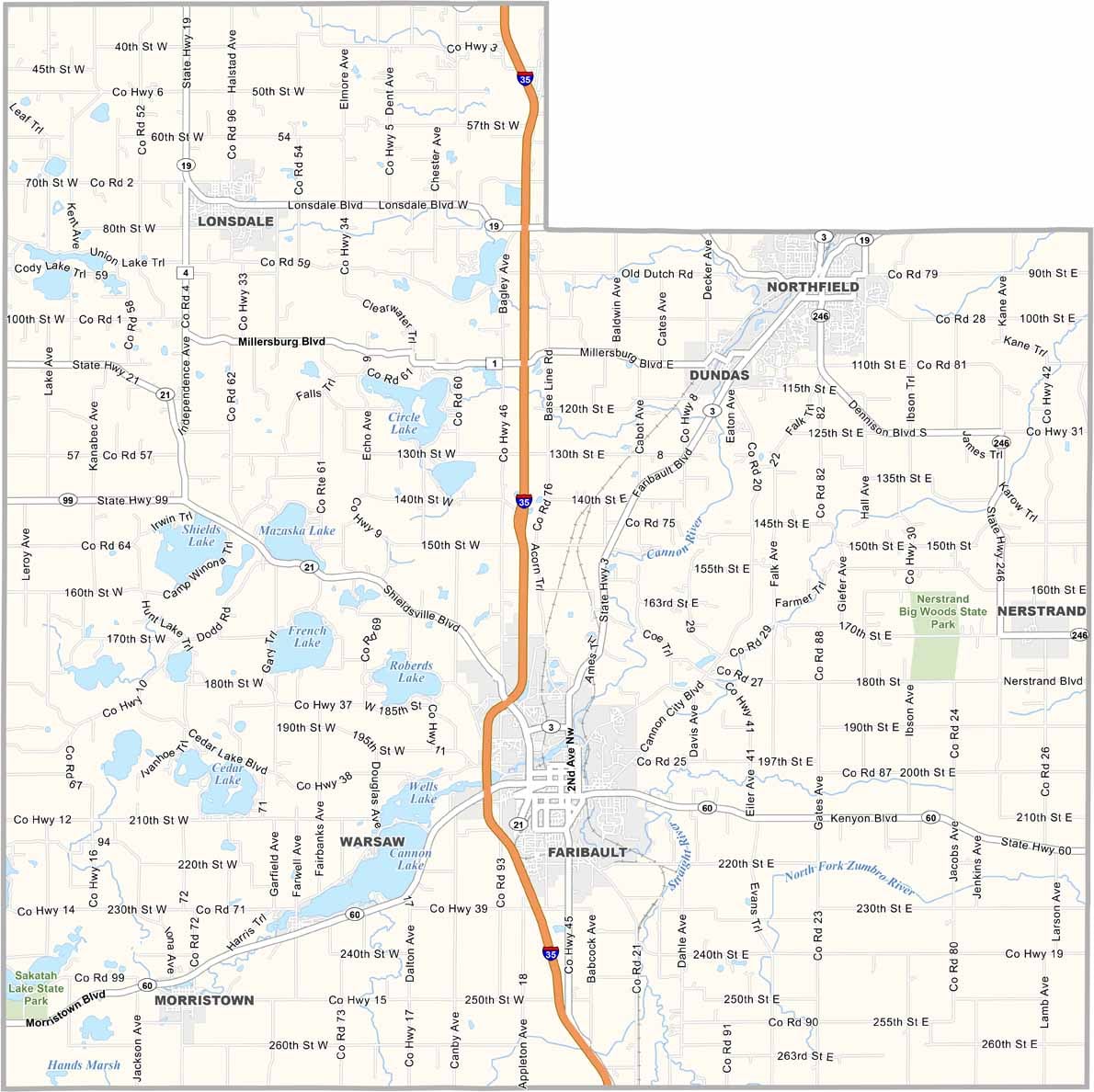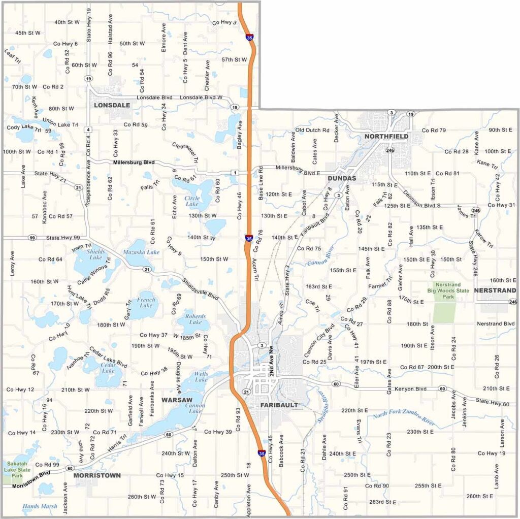
Rice County Map, Minnesota

Rice County, Minnesota

Rice County sits just an hour south of the Twin Cities, blending small-town and college-town energy. Faribault and Northfield are the big players here, each with its own unique vibe.

Northfield has two liberal arts colleges that keep things lively, while Faribault is known for its historic downtown and... woolen mills? Yep, they make some seriously cozy blankets.

The Cannon River cuts through the county, perfect for kayaking or just lounging on the banks with a good book. Lakes are everywhere, so fishing and boating are easy to come by. Rice County has a little bit of everything, without the big-city hassle.
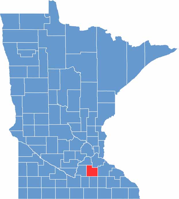

Rice County location map of Minnesota
CategoryDetails
County NameRice County
County SeatFaribault
PopulationApproximately 68,000
Cities, Towns, and CommunitiesFaribault, Northfield, Lonsdale, Dundas, Morristown, Nerstrand, Dennison, Warsaw, Webster
Interstates and HighwaysI-35, MN 3, MN 19, MN 21, MN 60
FIPS Code27-131
Total Area (Land and Water)516 square miles (Land: 496 sq mi, Water: 20 sq mi)
Adjacent Counties (and Direction)Dakota County (Northeast), Goodhue County (East), Dodge County (Southeast), Steele County (South), Waseca County (Southwest), Le Sueur County (West), Scott County (Northwest)
Time ZoneCentral Time Zone (CT)
StateMinnesota
Coordinates44.3668° N, 93.3389° W
EtymologyNamed after Henry Mower Rice, a prominent Minnesota politician and U.S. Senator
Major LandmarksNerstrand Big Woods State Park, Rice County Historical Society, Cannon River Wilderness Area
Scroll to Top