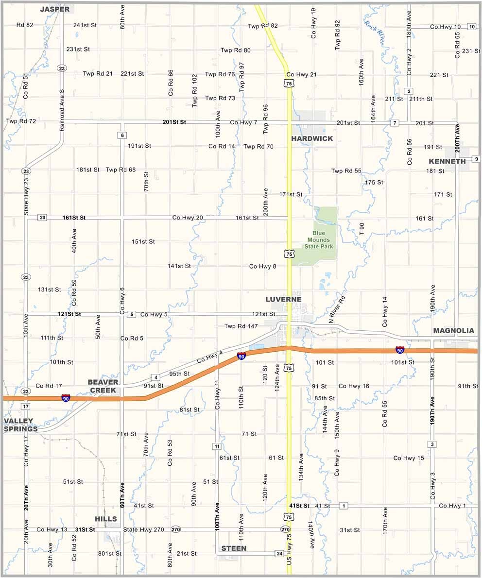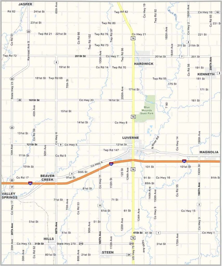
Rock County Map, Minnesota

Rock County, Minnesota

If you're looking for the corner pocket of Minnesota, Rock County is it. Literally. This little slice of prairie sits in the extreme southwest corner of the state, right where Minnesota, Iowa, and South Dakota meet.

Luverne is the biggest town and also the county seat. Corn and soybean fields stretch to the horizon, dotted with the occasional wind turbine.

Blue Mounds State Park is home to a 100-foot Sioux quartzite cliff, a bizarre chunk of pink rock rising up from the prairie. Bison roam there, no joke.
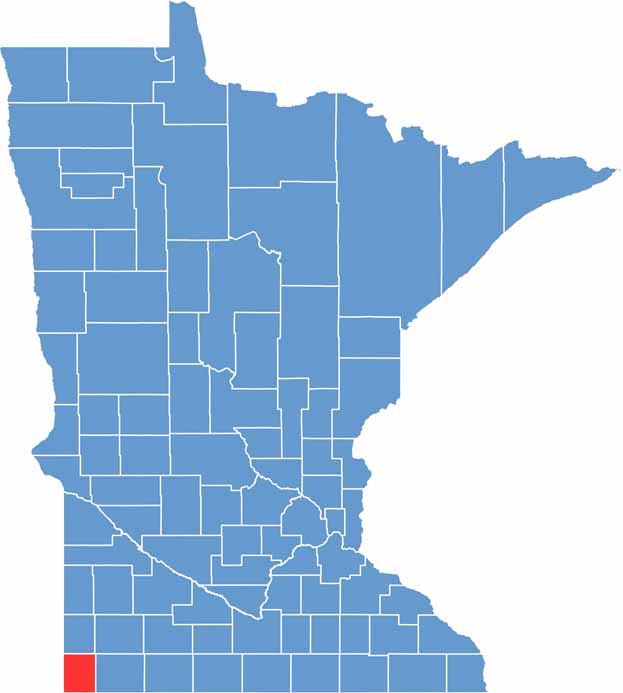

Rock County location map of Minnesota
CategoryDetails
County NameRock County
County SeatLuverne
PopulationApproximately 9,200
Cities, Towns, and CommunitiesLuverne, Hills, Beaver Creek, Steen, Hardwick, Kenneth
Interstates and HighwaysI-90, US 75, MN 23
FIPS Code27-133
Total Area (Land and Water)483 square miles (Land: 482 sq mi, Water: 1 sq mi)
Adjacent Counties (and Direction)Pipestone County (North), Murray County (Northeast), Nobles County (East), Lyon County, Iowa (South), Minnehaha County, South Dakota (West), Moody County, South Dakota (Northwest)
Time ZoneCentral Time Zone (CT)
StateMinnesota
Coordinates43.6731° N, 96.2160° W
EtymologyNamed after the large number of rock outcrops in the county
Major LandmarksBlue Mounds State Park, Brandenburg Gallery at the Luverne Carnegie Cultural Center, Rock County Historical Society
Scroll to Top