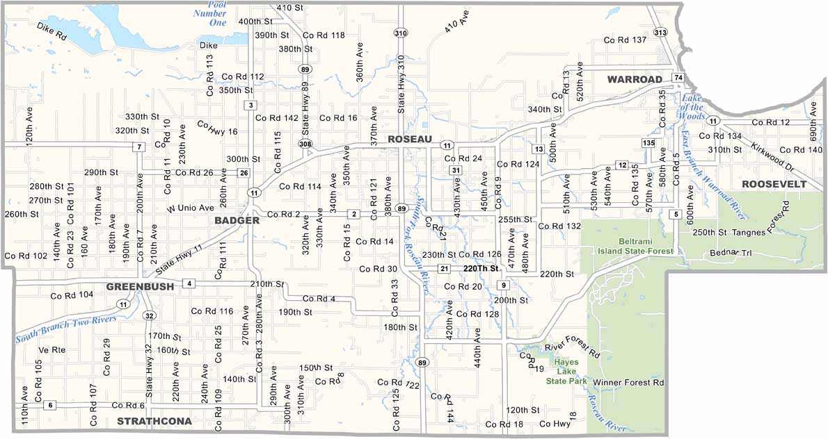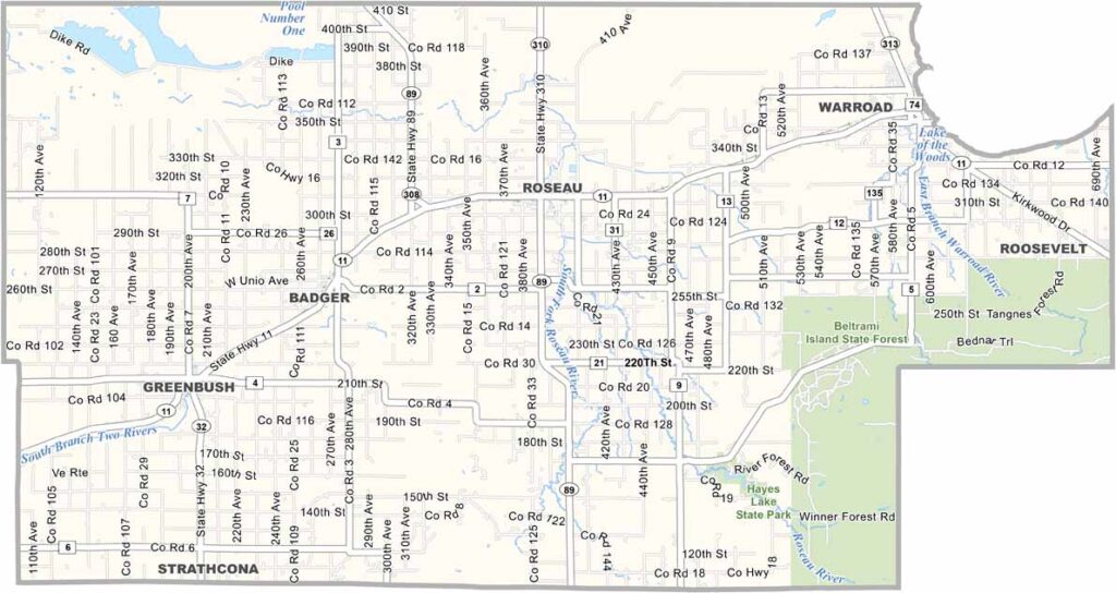
Roseau County Map, Minnesota

Roseau County, Minnesota

Roseau County sits in the far northwest corner of Minnesota, close to Canada. The town of Roseau is known for two things: hockey and snowmobiles. Polaris got its start here, churning out sleds since the 1950s.

This place is wild. The eastern half of the county is mostly taken up by the massive Beltrami Island State Forest and the Lost River State Forest. Swamps, bogs, and pine forests dominate the landscape, making it prime territory for hunting, fishing, and snowmobiling.

Agriculture still plays a big role, with wheat and canola fields stretching across the western part of the county. It's not for everyone, but if you love the outdoors and don't mind a little isolation, Roseau County might just be your paradise.
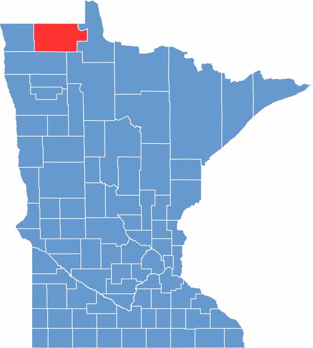

Roseau County location map of Minnesota
CategoryDetails
County NameRoseau County
County SeatRoseau
PopulationApproximately 15,500
Cities, Towns, and CommunitiesRoseau, Warroad, Greenbush, Badger, Strathcona, Salol, Malung, Wannaska, Pinecreek
Interstates and HighwaysMN 11, MN 89, MN 310
FIPS Code27-135
Total Area (Land and Water)1,678 square miles (Land: 1,672 sq mi, Water: 6 sq mi)
Adjacent Counties (and Direction)Lake of the Woods County (East), Beltrami County (Southeast), Marshall County (South), Kittson County (West)
Time ZoneCentral Time Zone (CT)
StateMinnesota
Coordinates48.8471° N, 95.9805° W
EtymologyNamed after the Roseau River that flows through the county
Major LandmarksLake of the Woods, Roseau City Park, Warroad Heritage Center, Polaris Experience Center
Scroll to Top