
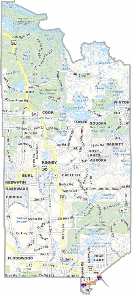
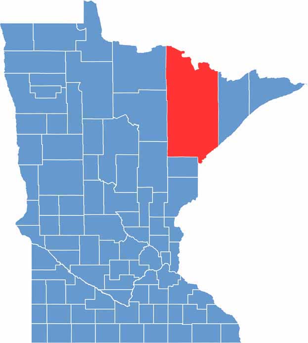
St. Louis County is a massive stretch of land in the northeastern part of the state. It borders Lake Superior and reaches all the way to the Canadian border. As the largest county in Minnesota, it's so big that it more than doubles the size of the second-largest county.
The air up here is crisp and clean. You can lose yourself in the vast wilderness of Voyageurs National Park or paddle through the pristine waters of the Cloquet Valley. It's not all nature, though.
The county has a strong mining heritage, with the Iron Range towns telling stories of grit and perseverance. Duluth, the county seat, is a port city with a rich history and stunning views of the lake.
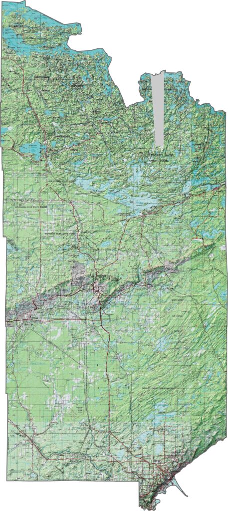
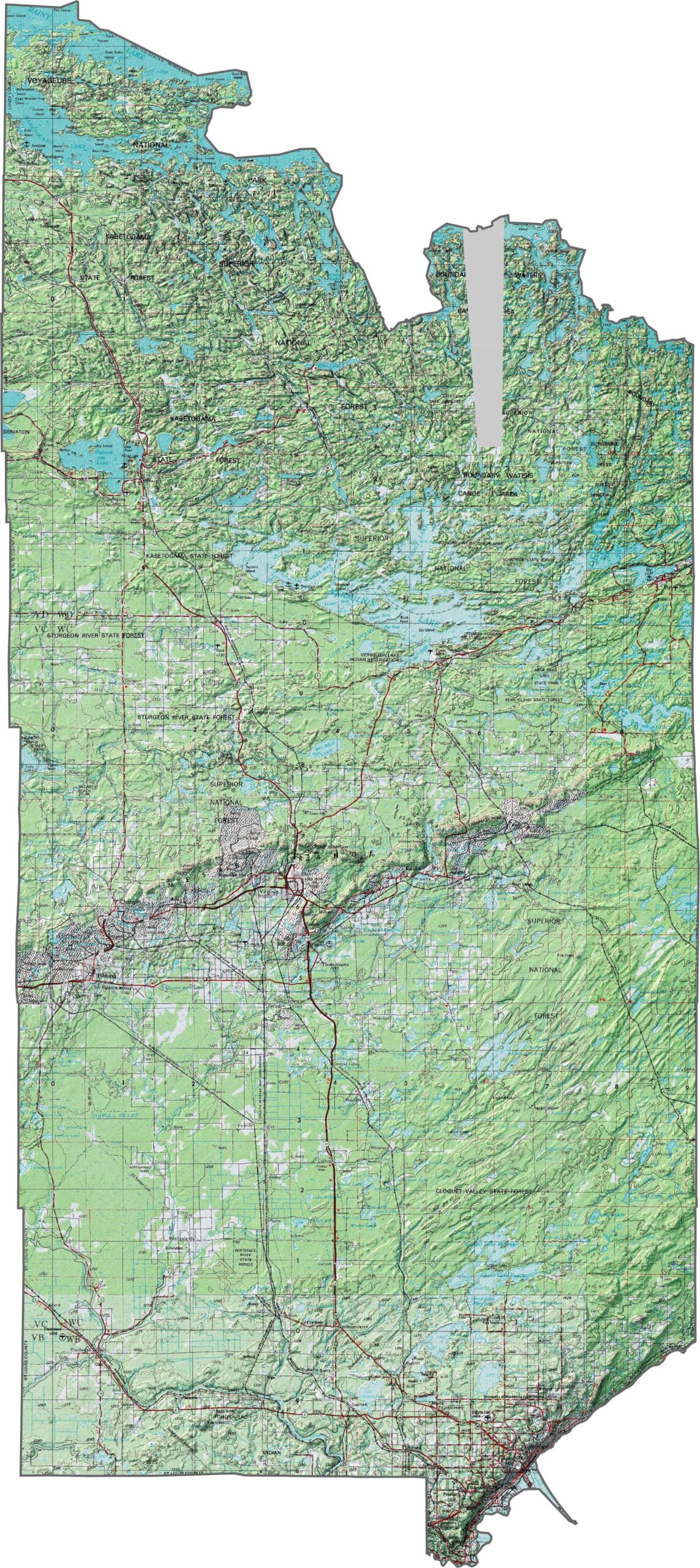
The topography of St. Louis County changes a lot depending on where you are. Near Superior, the land is steep, with sharp drops down to the lake. Farther north, you hit the Iron Range, with lots of hills and old mining areas. Even farther up, the land flattens out into forests, lakes, and swamps.
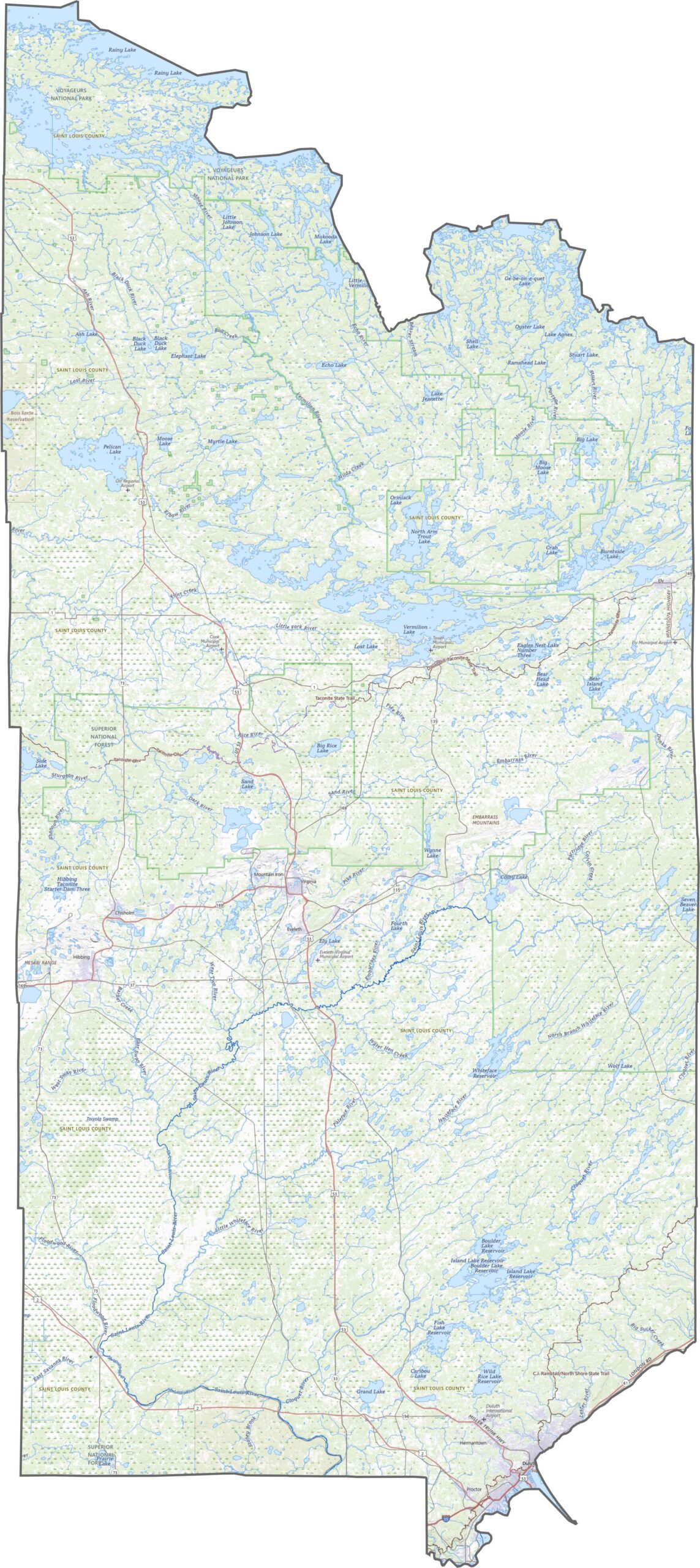
St. Louis County is so big it needs a lot of roads. Interstate 35 runs up the eastern side through Duluth, but there are tons of smaller highways and county roads, especially where the mining towns are. Some roads are long stretches through forests with not much around.
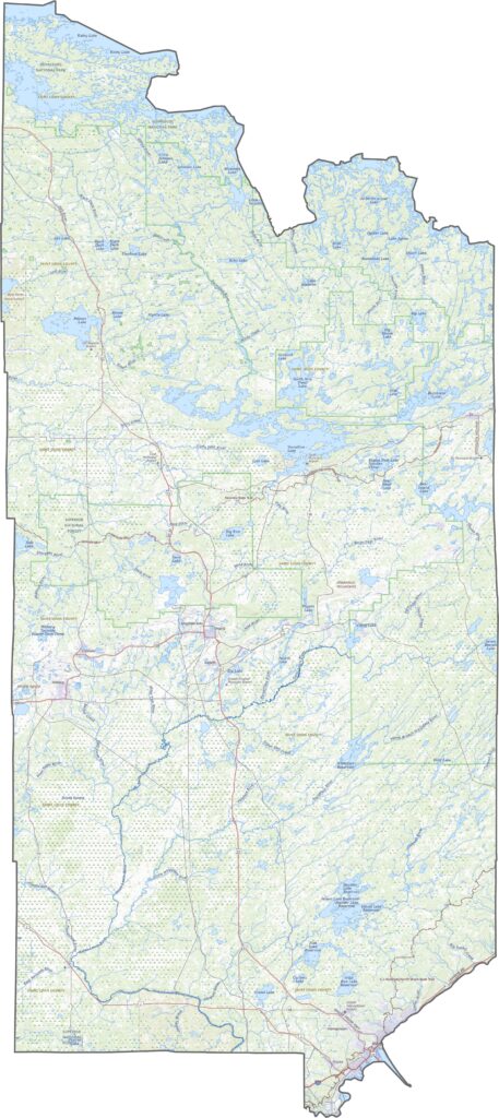
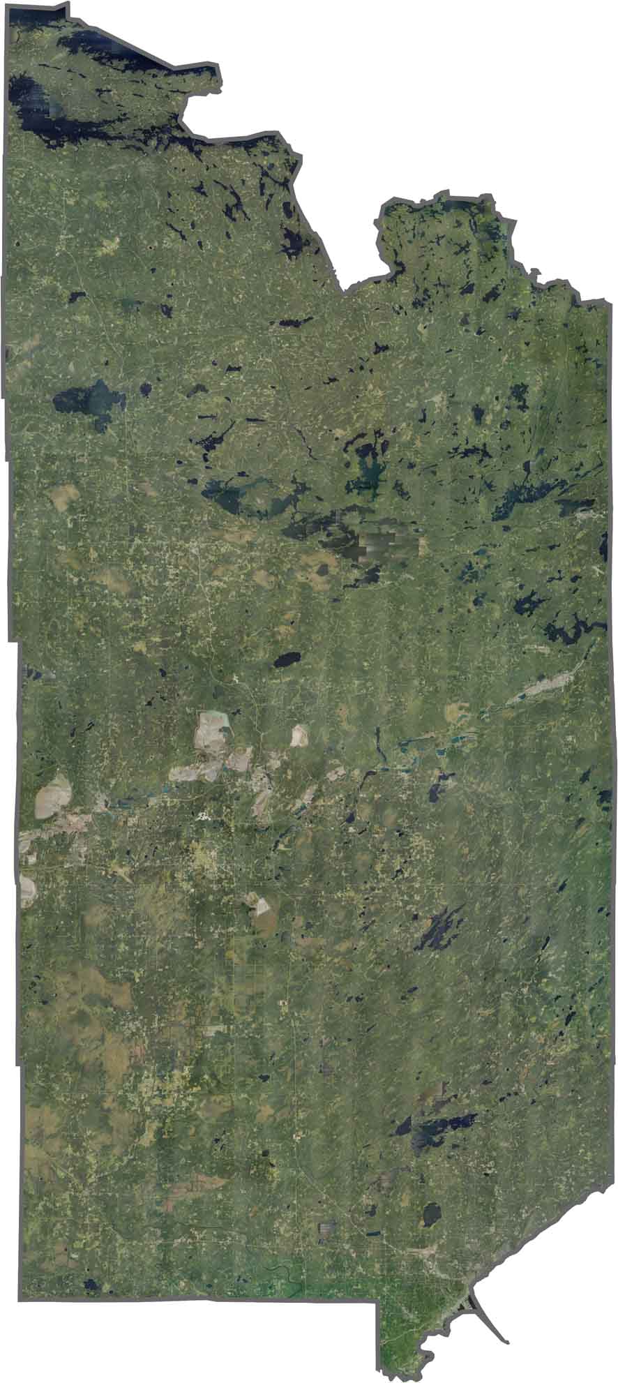
From the sky, St. Louis County looks green with blue lakes everywhere. Get to know St. Louis County better using our zoom tool below.
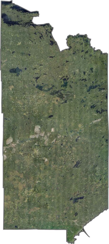
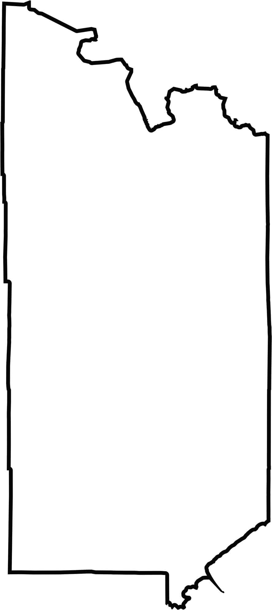
St. Louis County is shaped like a giant rectangle, stretching from the shores of Lake Superior all the way to the Canadian border. It's the largest county in Minnesota by far.







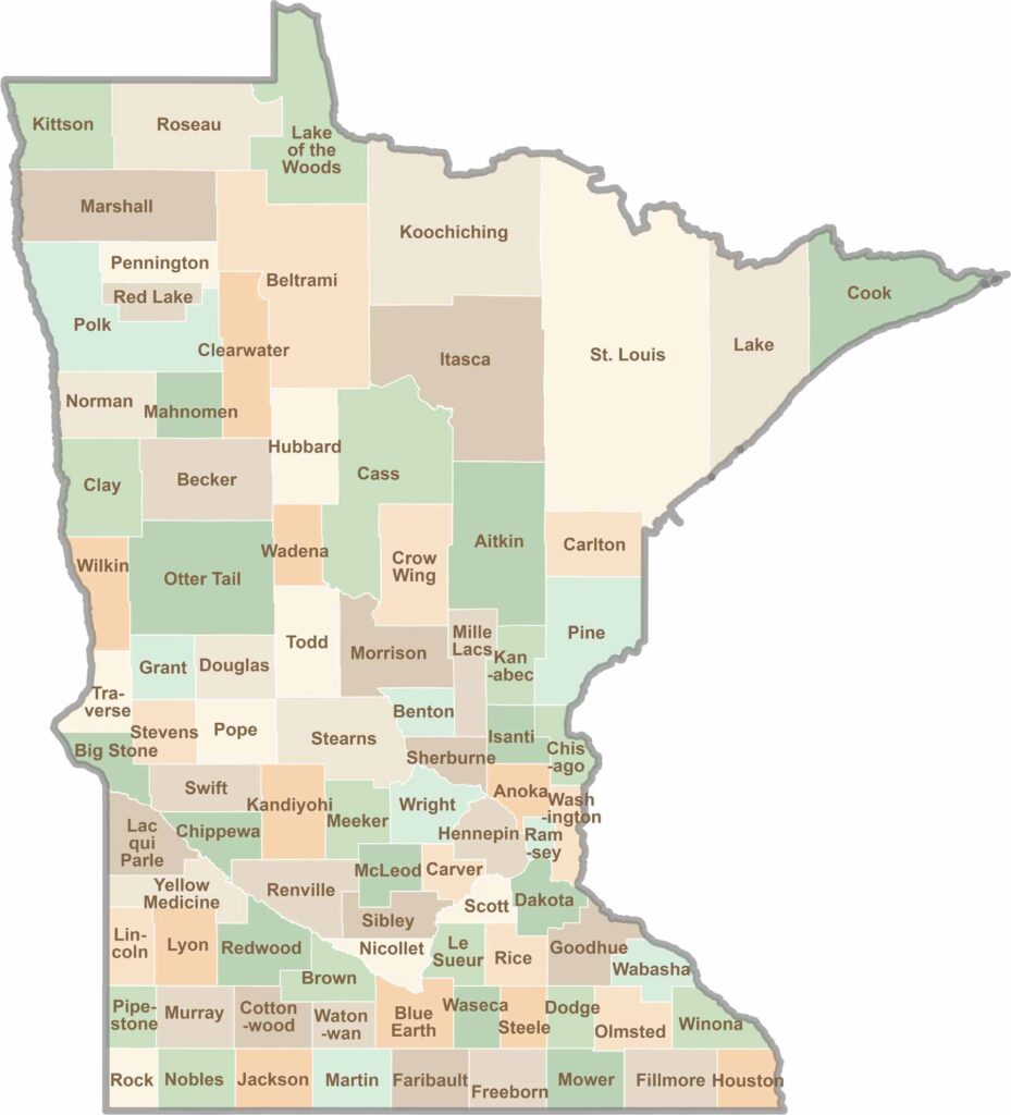
Land of 10,000 Lakes? How about the land of 87 counties to explore? Say hello to Hennepin County (Minneapolis) or the shores of Lake Superior. Get to know all the counties of Minnesota right here.