
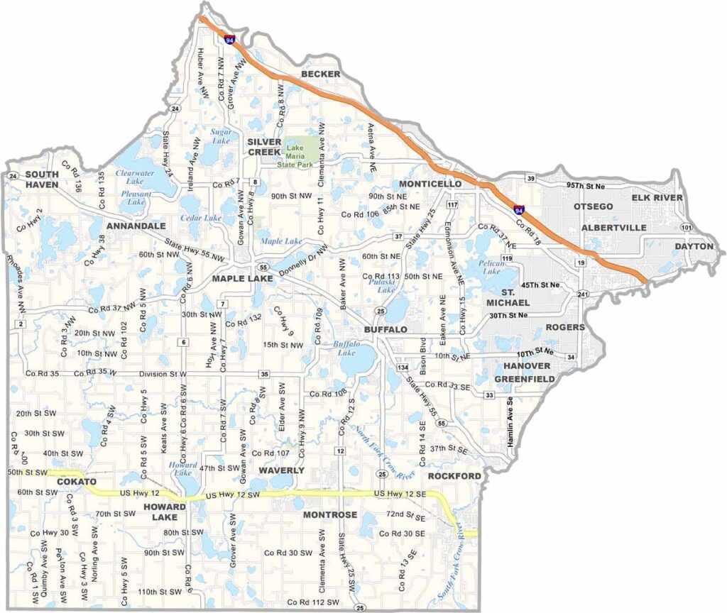
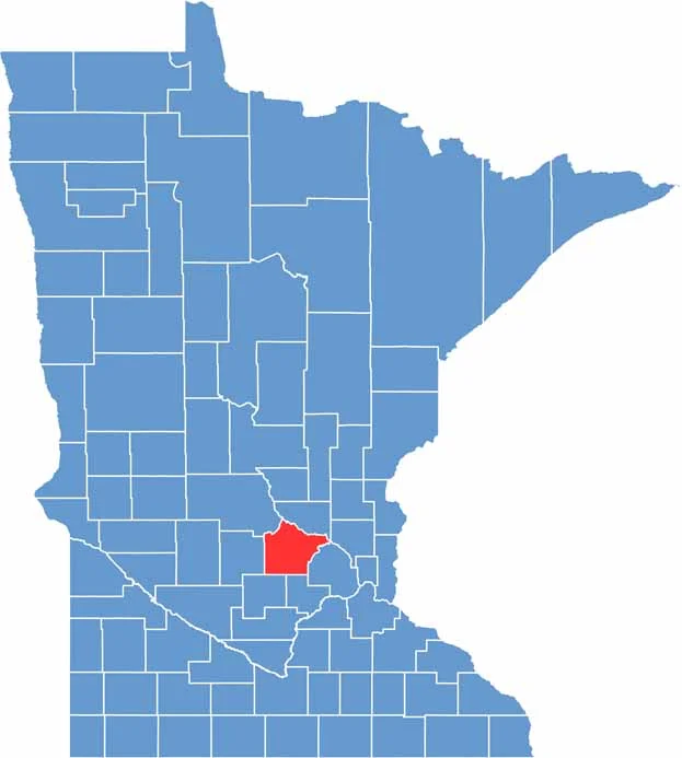
Wright County is just northwest of the Twin Cities, where the suburbs start to give way to farmland and lakes. It has been growing like crazy because folks are looking for country life within commuting distance of the big city.
Buffalo, the county seat, has a nice downtown that's worth a stroll. Wright County has some history too: it was named after Silas Wright, a New York governor who never even set foot in Minnesota. Go figure.
People love the outdoors here, with places like Lake Maria State Park offering great hiking and camping. There are plenty of lakes, and if you're into fishing, Clearwater Lake is the spot to cast a line.
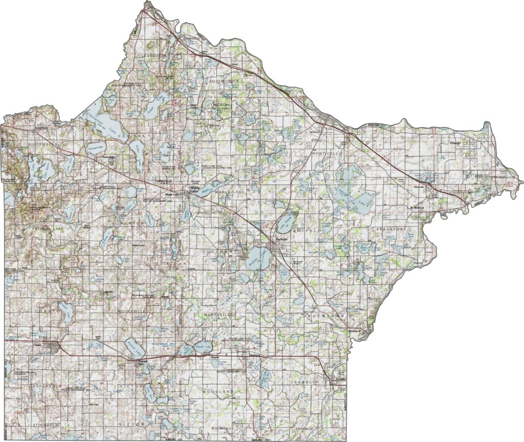
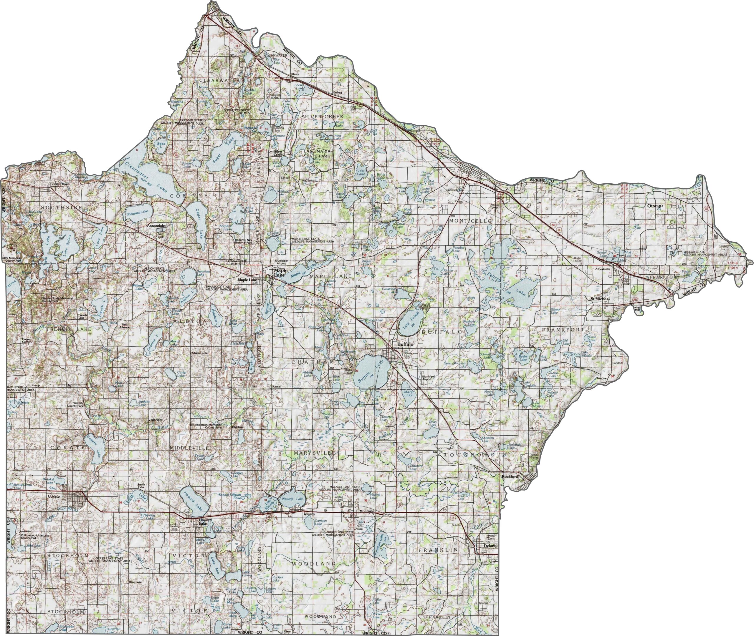
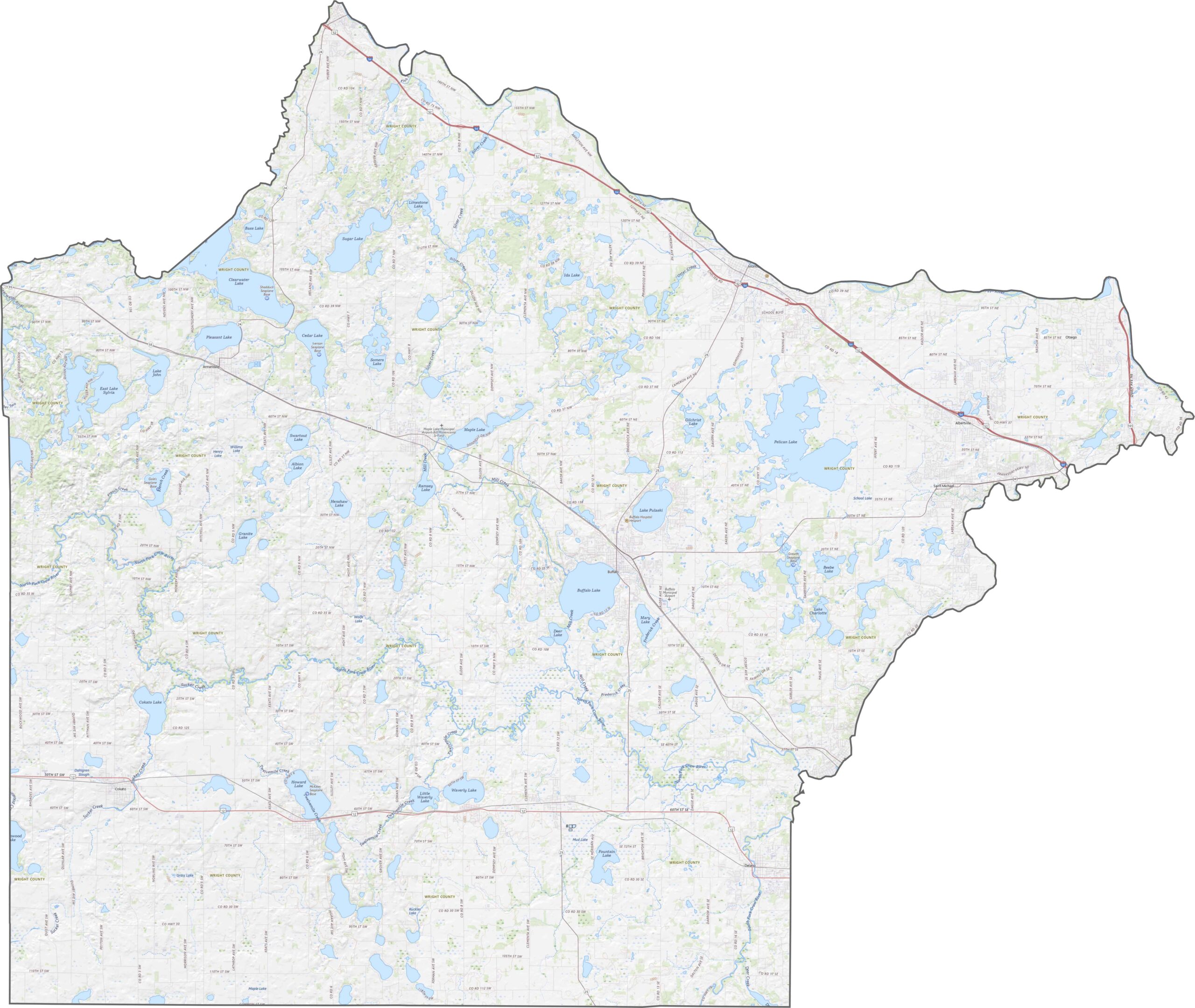
Wright County is mostly flat to gently rolling. The Crow River runs through it, creating some low valleys. You'll see more lakes in the northern and central parts. Try out our new zoom tool below to explore the county.
Interstate 94 cuts through the northeast, making it easy to get to St. Cloud or Minneapolis. U.S. Highway 12 crosses the southern side, while Minnesota Highways 55 and 25 help link smaller towns like Monticello.
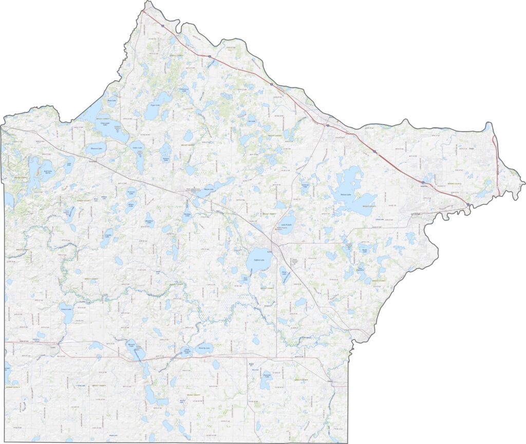
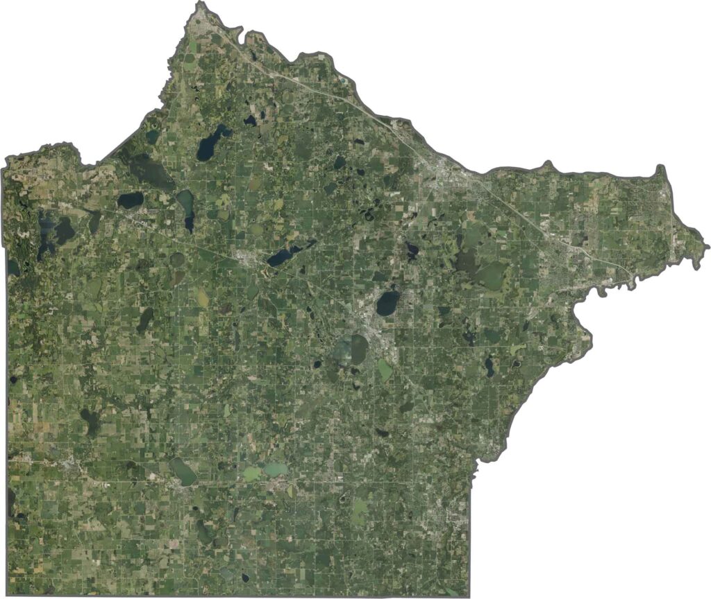
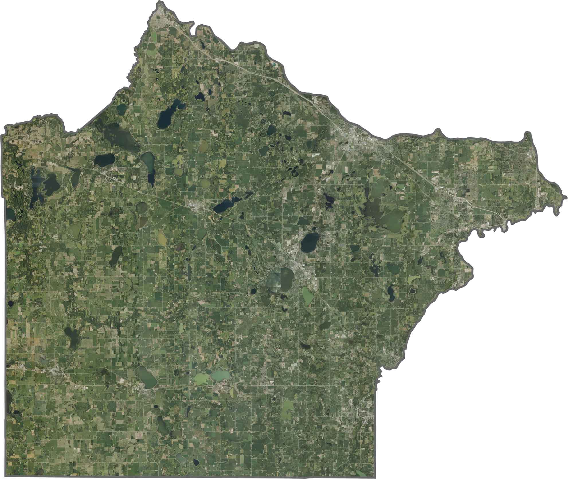
Our satellite map shows Wright County's farms, lakes, and towns. Buffalo, Monticello, and Delano stand out with more urban development, while the lakes look like dark blue spots scattered across the fields.
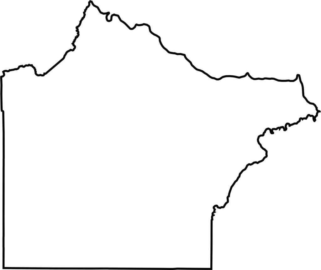
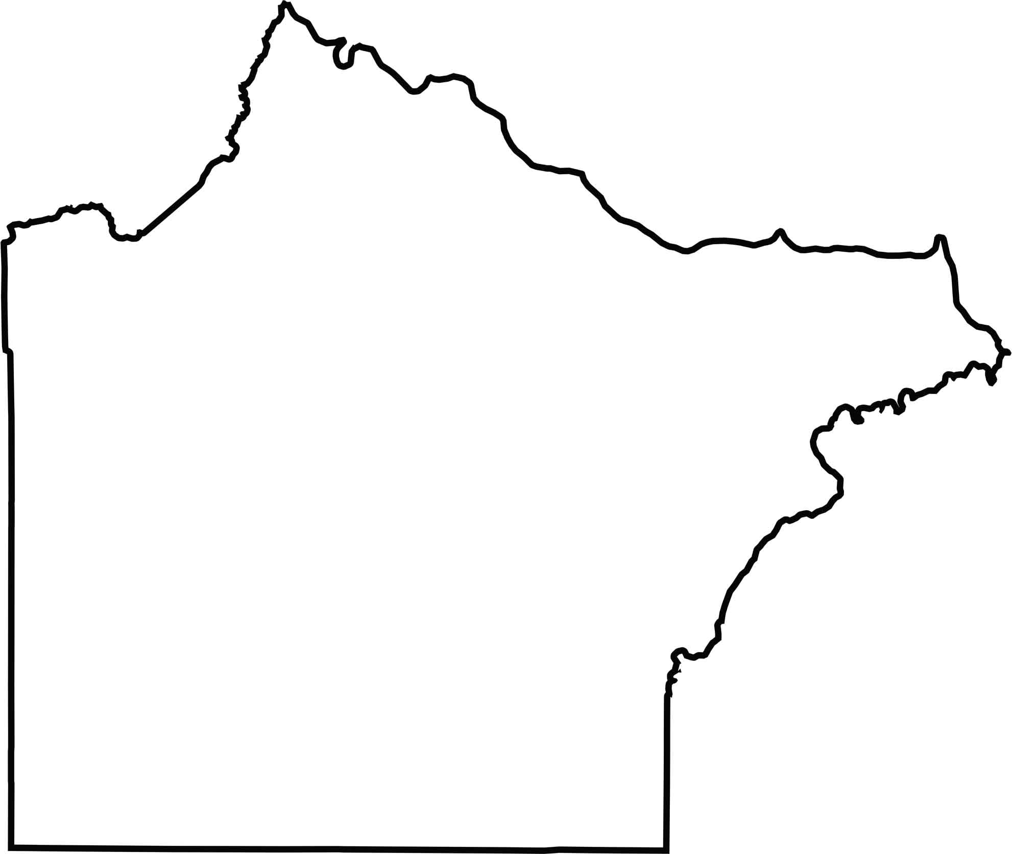
Wright County's shape is squarish in the south but a little uneven in the north. It borders Sherburne County to the north and Hennepin County to the east. Many of the borders are straight, but rivers bend a few edges, like the Mississippi River in the north.







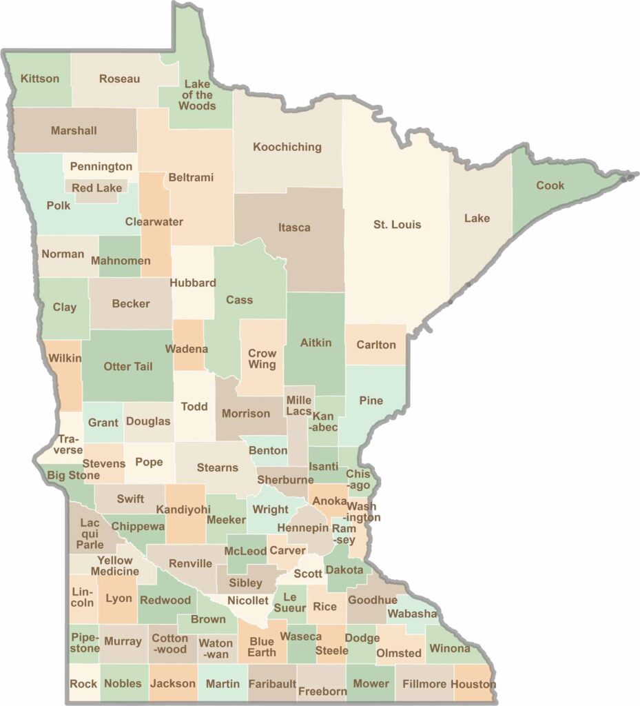
Land of 10,000 Lakes? How about the land of 87 counties to explore? Say hello to Hennepin County (Minneapolis) or the shores of Lake Superior. Get to know all the counties of Minnesota right here.