
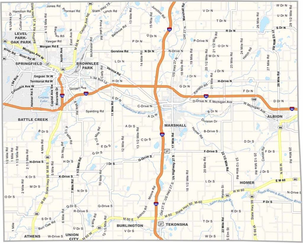
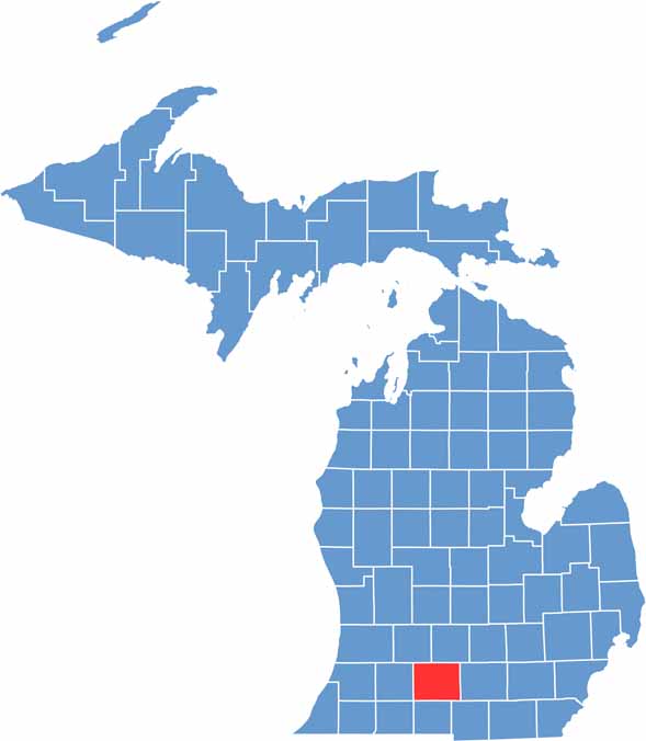
Calhoun County is located in south-central Michigan, roughly halfway between Detroit and Chicago. Its central location and mix of urban communities, lakes, rivers, and rural landscapes make it an interesting part of southern Michigan.
Battle Creek, one of the county’s largest cities, is famously known as the “Cereal City” because of its long association with Kellogg’s and the cereal industry. While breakfast foods are an important part of the city’s identity, the area offers much more, including cultural attractions, outdoor recreation, and local history.
The county is dotted with lakes and rivers, providing opportunities for fishing, boating, and other outdoor activities. Coney dogs, a popular Michigan specialty, are another part of the local food culture. With its cereal heritage, waterways, and small-town communities, Calhoun County offers plenty beyond its famous breakfast connection.
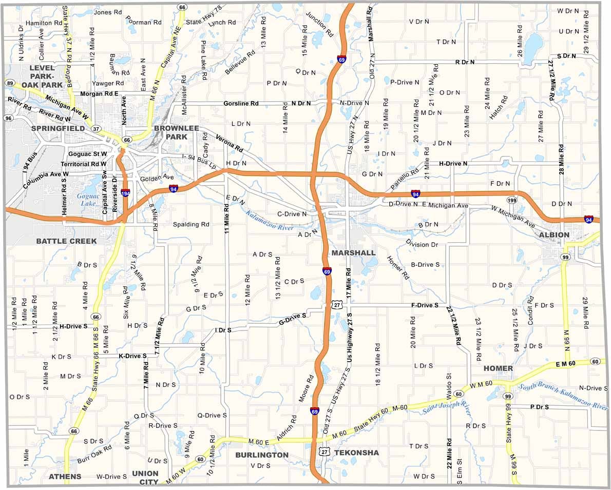
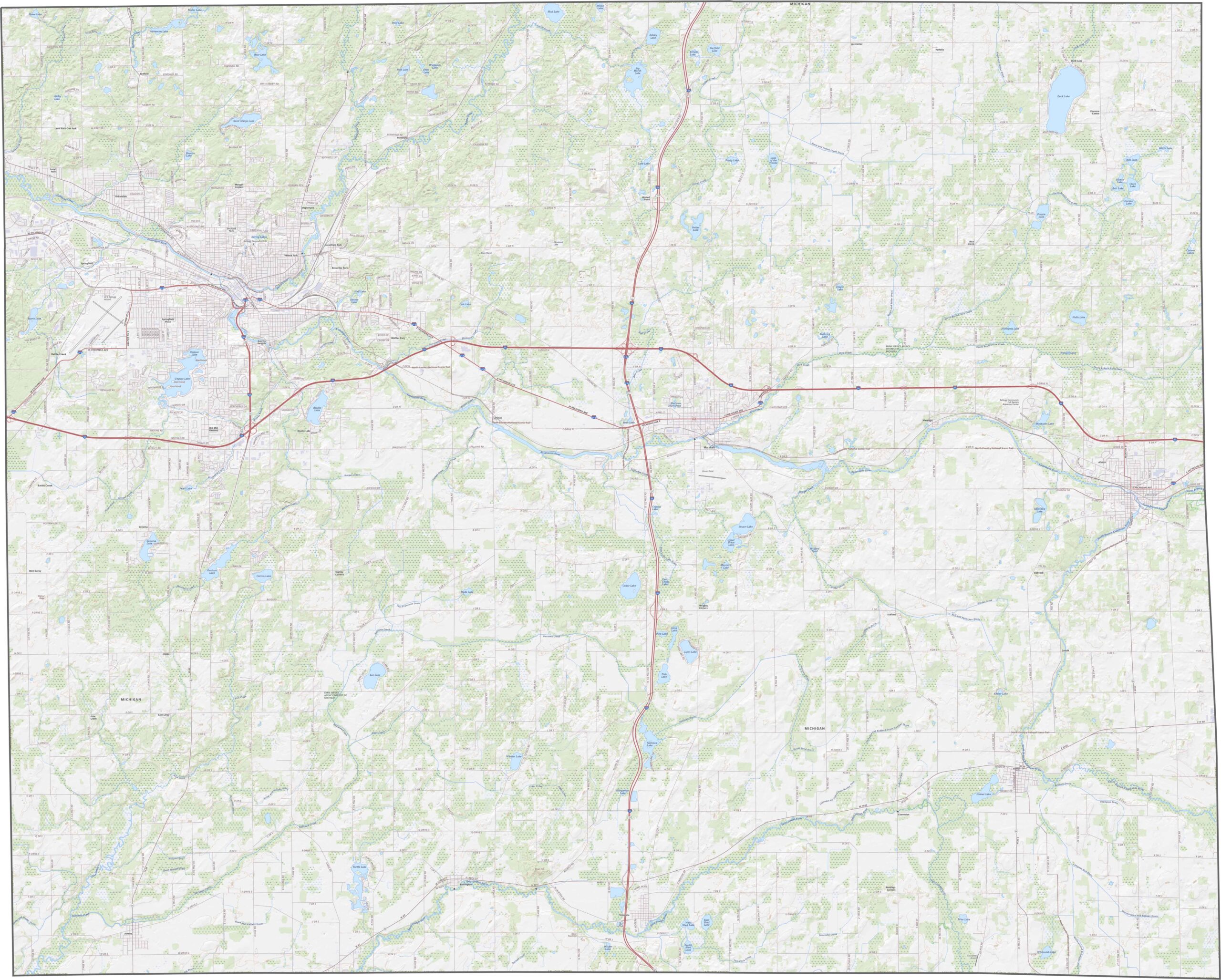
Calhoun County has a well-connected highway network serving communities across the region. I-94 runs west-east through the county, linking major cities and providing an important regional transportation corridor. I-69 crosses the county from north to south, offering another major route through southern Michigan. Use our road map and zoom tool to explore the county’s highways and major road connections in greater detail.
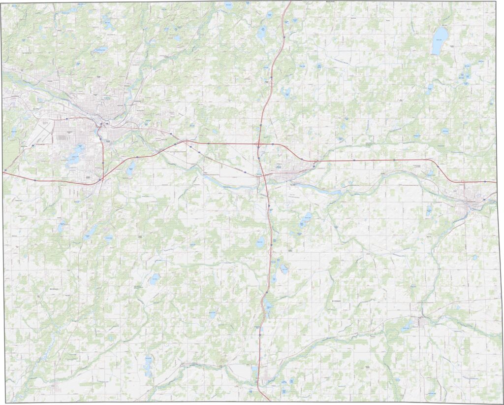
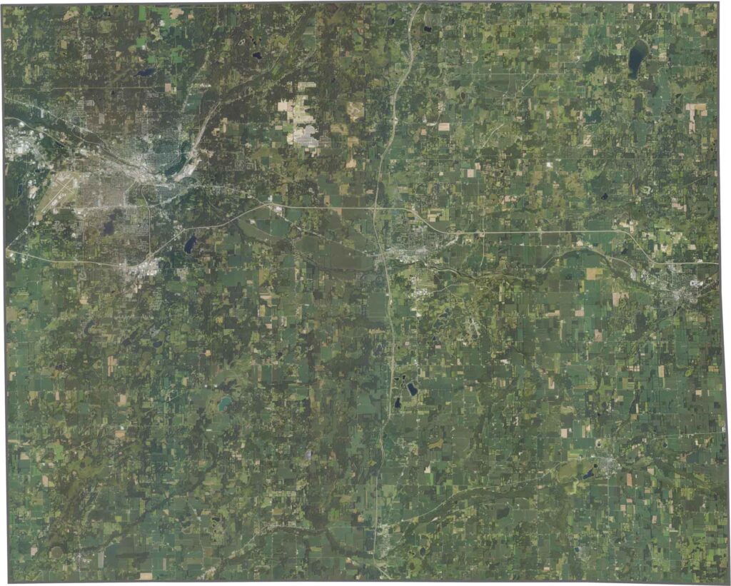
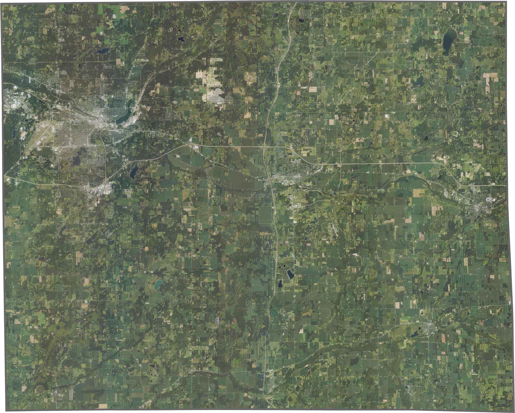
Our Calhoun County satellite map highlights broad stretches of farmland and agricultural fields across the county. Developed areas such as Battle Creek stand out with dense street networks, while scattered forests and wooded areas add variety to the surrounding countryside. The Kalamazoo River winds through the county and forms a prominent natural feature visible from above.
Calhoun County has a compact, roughly rectangular shape with mostly straight boundaries. The county does not share any state borders, remaining entirely within Michigan, and no major river forms its outer boundaries. Its relatively regular outline gives it a distinctive appearance on the blank map.


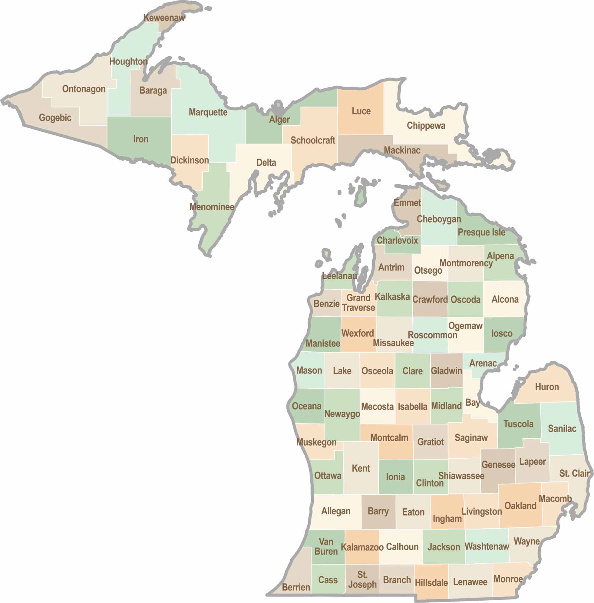
From Motown to moose sightings, Michigan’s 83 counties offer an impressive mix of urban energy, natural beauty, and outdoor adventure. Detroit celebrates its legendary Motown music heritage, while Ann Arbor brings a lively college-town atmosphere shaped by the University of Michigan. From the shores of the Great Lakes to the forests of the Upper Peninsula, the Mitten State delivers a diverse landscape filled with history, culture, and scenic attractions.