
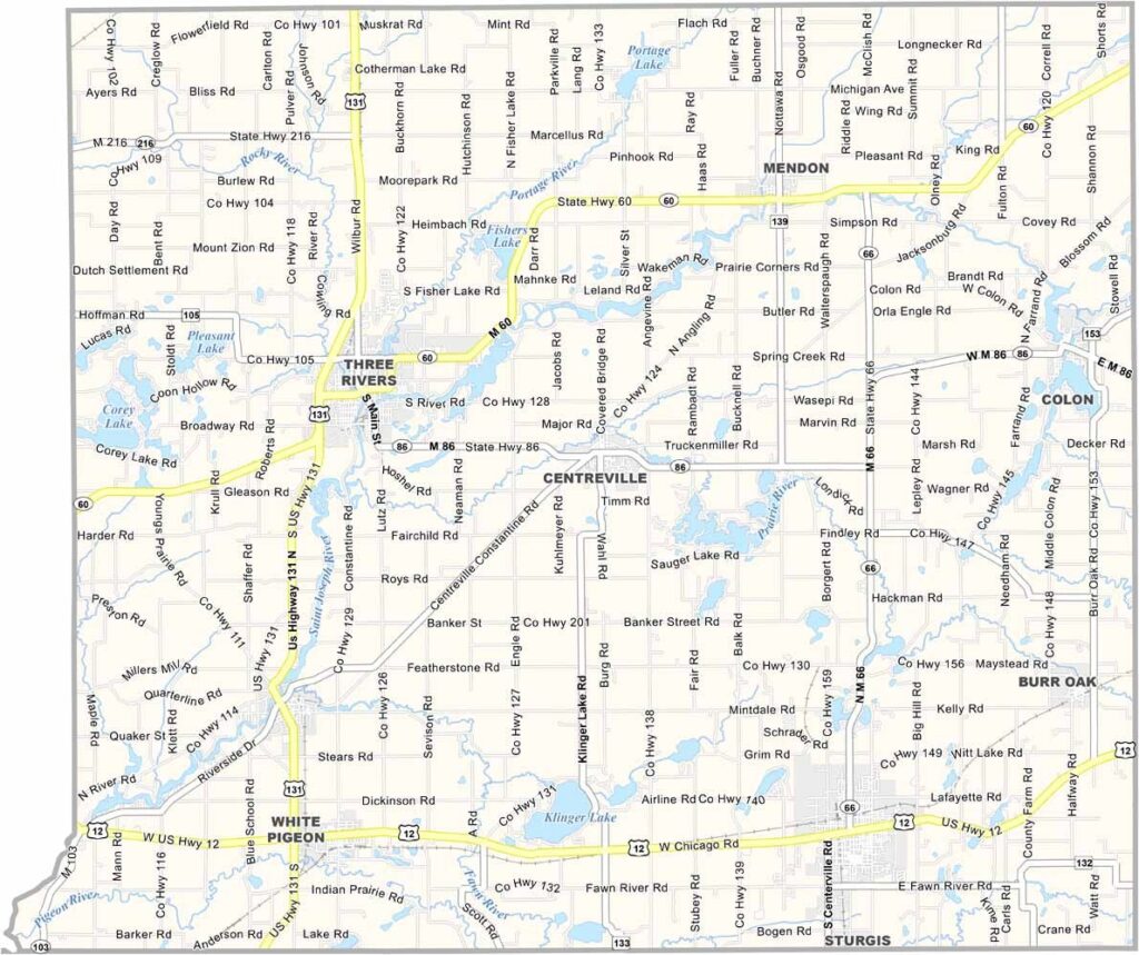
St. Joseph County Map, Michigan

St. Joseph County, Michigan

St. Joseph County is located in the southwestern corner of Michigan, where rural landscapes and small communities create a relaxed countryside setting. Sturgis, the county’s largest city, draws visitors each August with its well-known motorcycle rally and lively community atmosphere.

Centreville, the county seat, may be a small community, but it has plenty of local character. Agriculture remains an important part of the county, with farms producing everything from corn to Christmas trees. The annual county fair also brings residents together for traditional entertainment and community events.

Outdoor enthusiasts can explore the county’s lakes, trails, and the St. Joseph River, while history buffs can visit sites connected to the Underground Railroad. The local Amish community adds another distinctive cultural element to the county’s rural character.
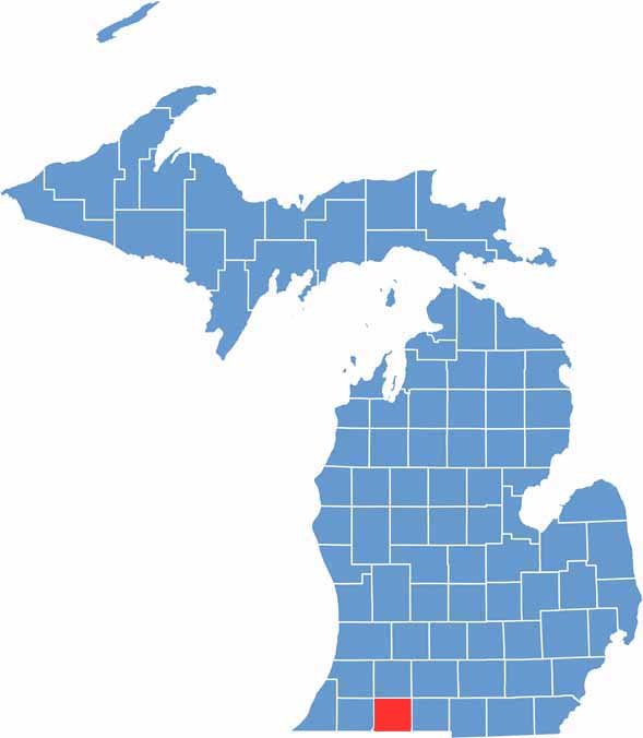

Saint Joseph County location map of Michigan
CategoryDetails
County NameSt. Joseph County
County SeatCentreville
EtymologyNamed after the St. Joseph River
Cities, Towns, and CommunitiesThree Rivers, Sturgis, Centreville, Constantine, Colon, White Pigeon, Burr Oak
Interstates and HighwaysUS 12, M-60, M-86, M-66, M-103
FIPS Code26-149
Total Area (Land and Water)521 square miles (Land: 501 sq mi, Water: 20 sq mi)
Adjacent Counties (and Direction)Van Buren County (Northwest), Kalamazoo County (North), Calhoun County (Northeast), Branch County (East), LaGrange County, Indiana (South), Elkhart County, Indiana (Southwest), Cass County (West)
Time ZoneEastern Time Zone (ET)
StateMichigan
Coordinates41.9114° N, 85.5200° W
Major LandmarksLangley Covered Bridge, Scidmore Park, Swiss Valley Ski & Snowboard Area, Fisher Lake
PopulationApproximately 61,000
Scroll to Top





