
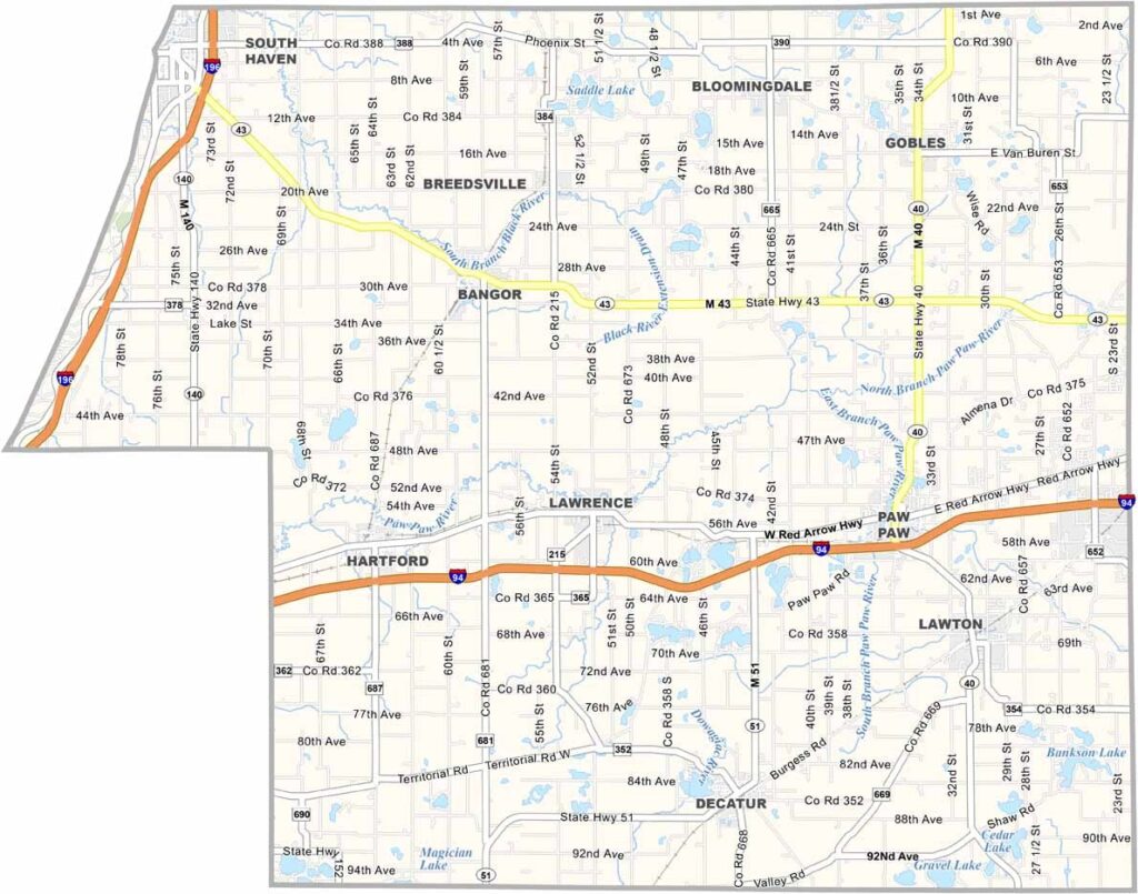
Van Buren County Map, Michigan

Van Buren County, Michigan

Michigan’s southwestern corner is home to Van Buren County, stretching along the eastern shore of Lake Michigan, just north of the Indiana border.

Beaches, orchards, and vineyards fill much of the landscape. Paw Paw, the county seat, is well known for its grape-growing tradition and local wineries, giving the area a distinctive agricultural character.

Visitors flock to Van Buren State Park for camping, hiking, and relaxing while taking in stunning views of Lake Michigan. The county also features numerous farmers markets and U-pick farms, offering plenty of opportunities to enjoy the region’s fresh produce and rural charm.
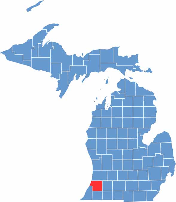

Van Buren County location map of Michigan
CategoryDetails
County NameVan Buren County
County SeatPaw Paw
PopulationApproximately 75,000
Cities, Towns, and CommunitiesSouth Haven, Paw Paw, Decatur, Bangor, Bloomingdale, Gobles, Hartford, Mattawan
Interstates and HighwaysI-94, M-40, M-43, M-51
FIPS Code26-159
Total Area (Land and Water)1,090 square miles (Land: 607 sq mi, Water: 483 sq mi)
Adjacent Counties (and Direction)Allegan County (North), Kalamazoo County (East), St. Joseph County (Southeast), Cass County (South), Berrien County (Southwest)
Time ZoneEastern Time Zone (ET)
StateMichigan
Coordinates42.2451° N, 86.0122° W
EtymologyNamed after Martin Van Buren
Major LandmarksSouth Haven Lighthouse, Van Buren State Park, Kal-Haven Trail, Michigan Maritime Museum
Scroll to Top





