
Chippewa County, Michigan

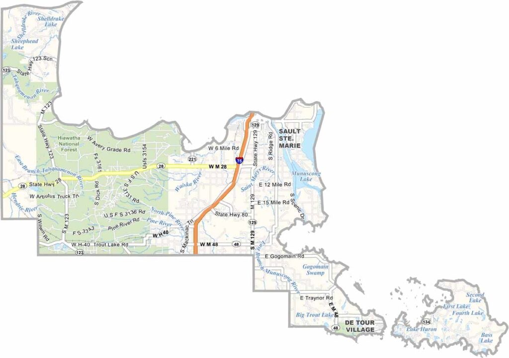
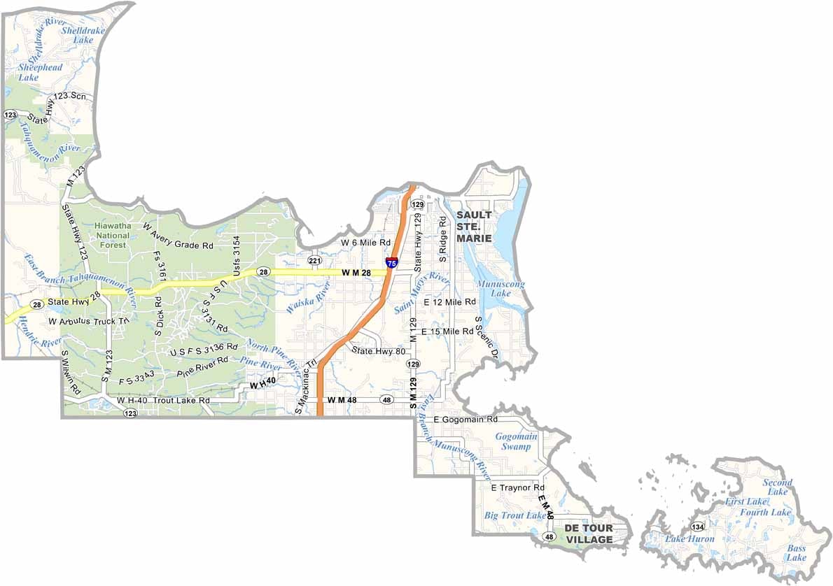
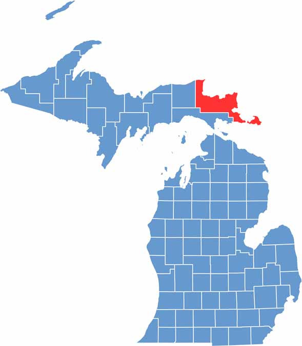
Chippewa County sits along the eastern edge of Michigan’s Upper Peninsula, bordering two of the Great Lakes. It’s a place known for wild beauty and a rugged landscape.

Sault Ste. Marie, the county seat, is home to the famous Soo Locks. Forests cover much of the landscape, while locals fish for whitefish and perch during the summer.

Winters are long and snowy. No matter the season, hikers still head to Tahquamenon Falls State Park. The county’s history is deeply rooted in Native American and French Canadian culture.
CategoryDetails
County NameChippewa County
County SeatSault Ste. Marie
Cities, Towns, and CommunitiesSault Ste. Marie, Kinross, Pickford, Detour Village, Paradise, Brimley, Bay Mills
Interstates and HighwaysI-75, M-28, M-123, M-129, M-48
FIPS Code26-033
Total Area (Land and Water)2,698 square miles (Land: 1,558 sq mi, Water: 1,140 sq mi)
Adjacent Counties (and Direction)Mackinac County (South), Luce County (West)
Time ZoneEastern Time Zone (ET)
StateMichigan
Coordinates46.3122° N, 84.3560° W
EtymologyNamed after the Chippewa (Ojibwe) Native American tribe
Major LandmarksTahquamenon Falls State Park, Soo Locks, Whitefish Point Lighthouse, Mackinac Trail
PopulationApproximately 37,000
Scroll to Top