
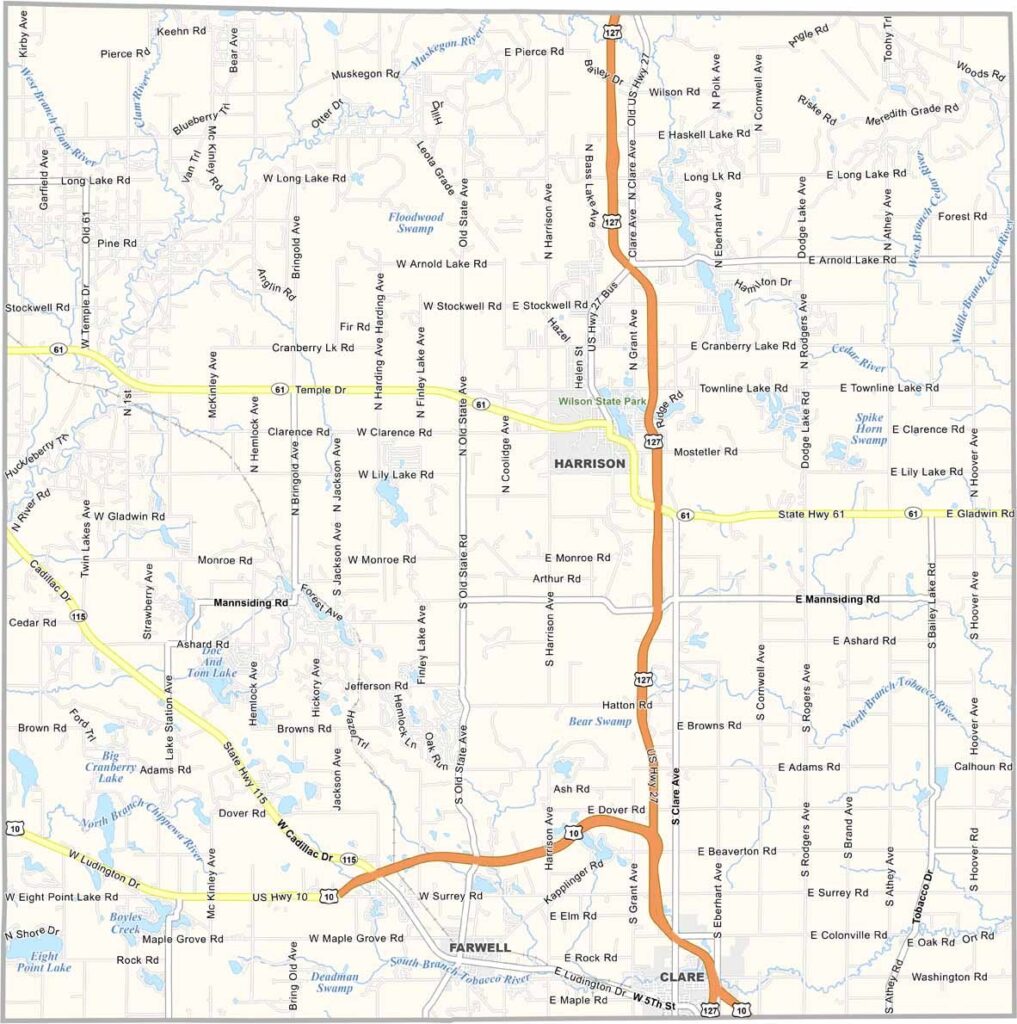
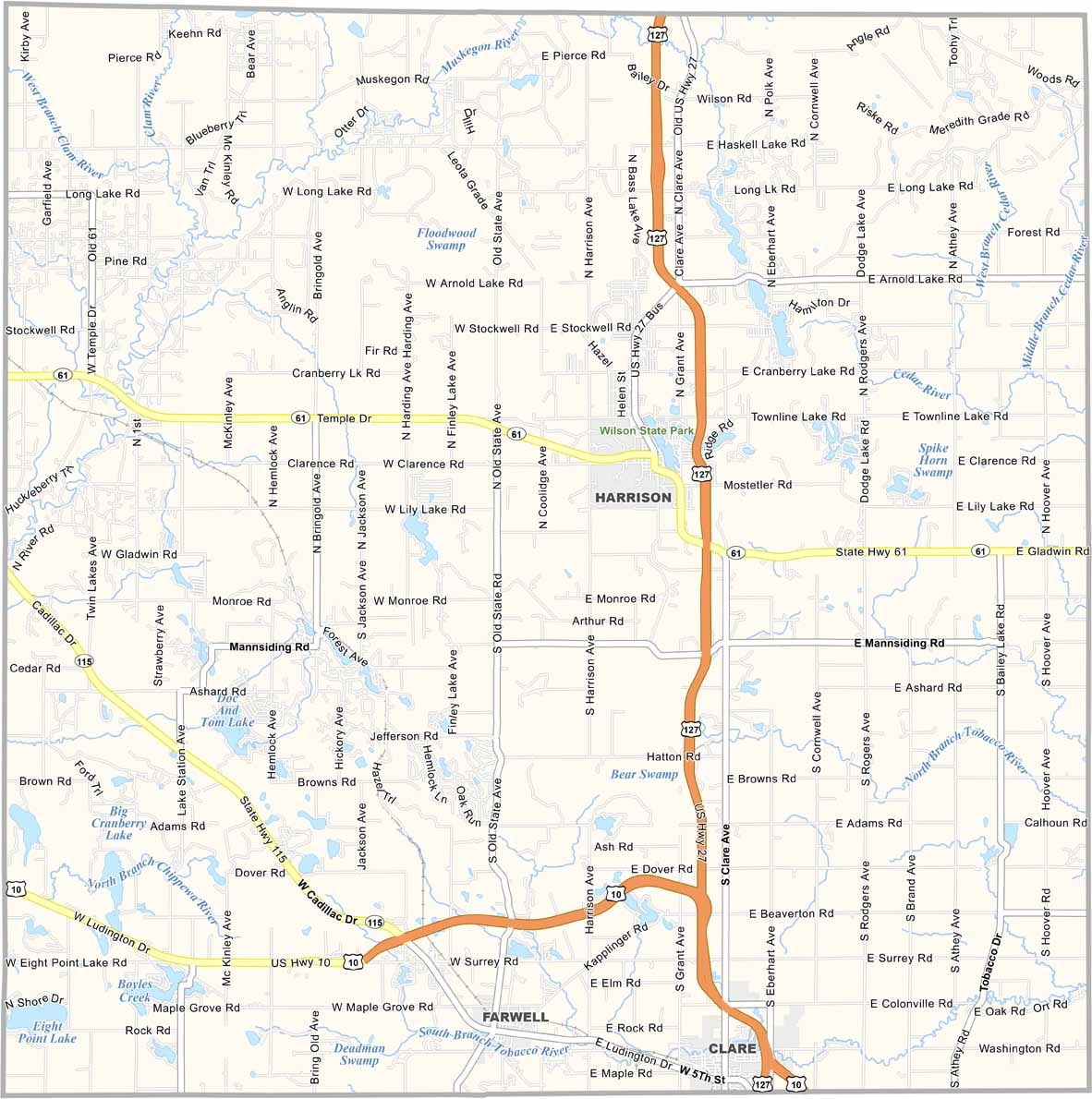
Clare County, Michigan

Clare County is a hidden gem in Michigan’s Lower Peninsula. This rural part of the Mitten State sits near the center, about two hours northwest of Detroit.

Forests and farmland cover the area, along with rolling hills and crystal-clear lakes. Locals love spending time outdoors here, with fishing, hiking, and hunting among the biggest draws.

The county seat, Harrison, is a small but lively city. If you’re looking to escape the daily grind, Clare County might just be your cup of joe.

Printable Stone County Missouri location map showing county location and boundaries
CategoryDetails
County NameClare County
County SeatHarrison
Cities, Towns, and CommunitiesHarrison, Clare, Farwell, Lake George, Lake, Leota
Interstates and HighwaysUS 127, M-61, M-115
FIPS Code26-035
Total Area (Land and Water)575 square miles (Land: 564 sq mi, Water: 11 sq mi)
Adjacent Counties (and Direction)Missaukee County (Northwest), Roscommon County (Northeast), Gladwin County (East), Midland County (Southeast), Isabella County (South), Mecosta County (Southwest), Osceola County (West)
Time ZoneEastern Time Zone (ET)
StateMichigan
Coordinates43.9877° N, 84.8483° W
EtymologyNamed after County Clare in Ireland
Major LandmarksWilson State Park, Muskegon River, Budd Lake, Pere Marquette State Trail
PopulationApproximately 30,000
Scroll to Top