
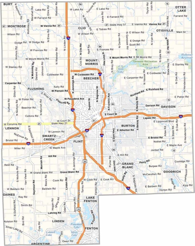
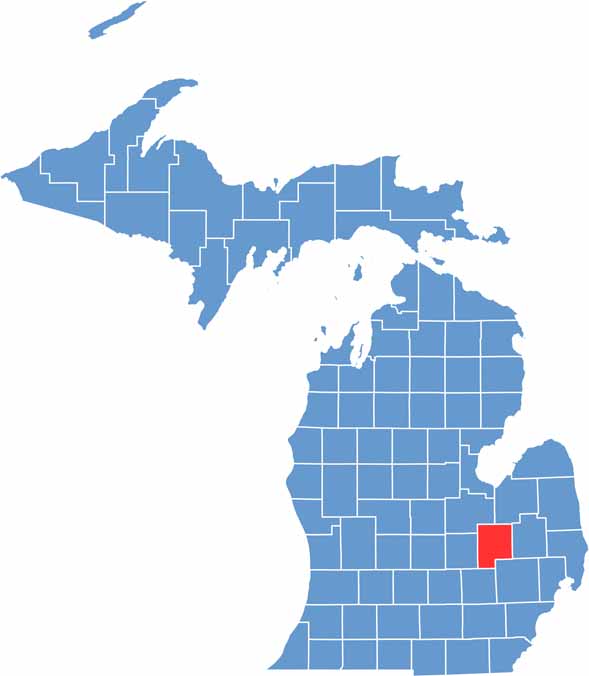
Michigan’s fifth-largest county sits in the middle of the Mitten State. Genesee County boasts a rich history and diverse landscape.
From bustling Flint to quiet rural towns, there’s plenty to see and do here. The Flint River winds through the county, offering opportunities for water recreation. Locals also love the county’s parks and trails.
It’s home to Kettering University and the birthplace of General Motors. Genesee County is pure Michigan grit with a side of cherry pie.
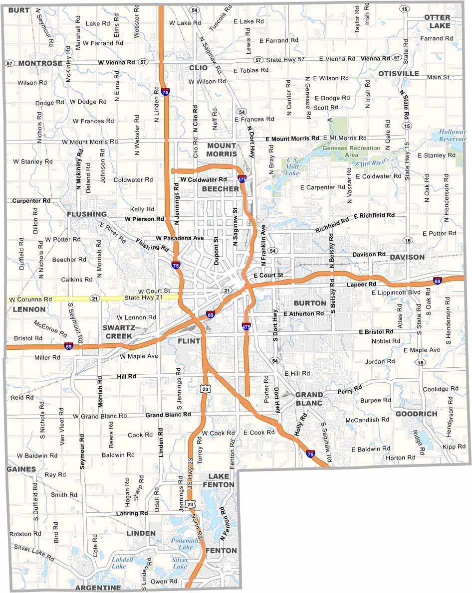
Genesee County is packed with highways. I-75 runs north and south right through the middle, while I-475 offers a quick loop around downtown Flint. I-69 stretches across the county from east to west. Use our new zoom tool to get familiar with Genesee County roads.
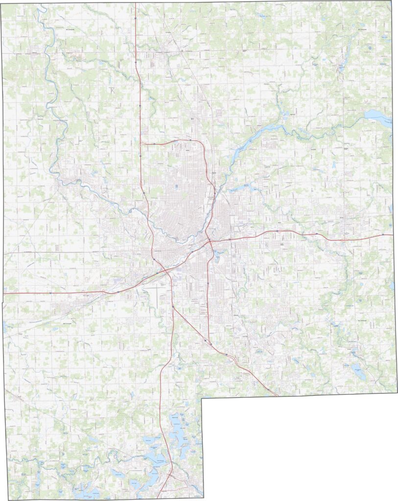
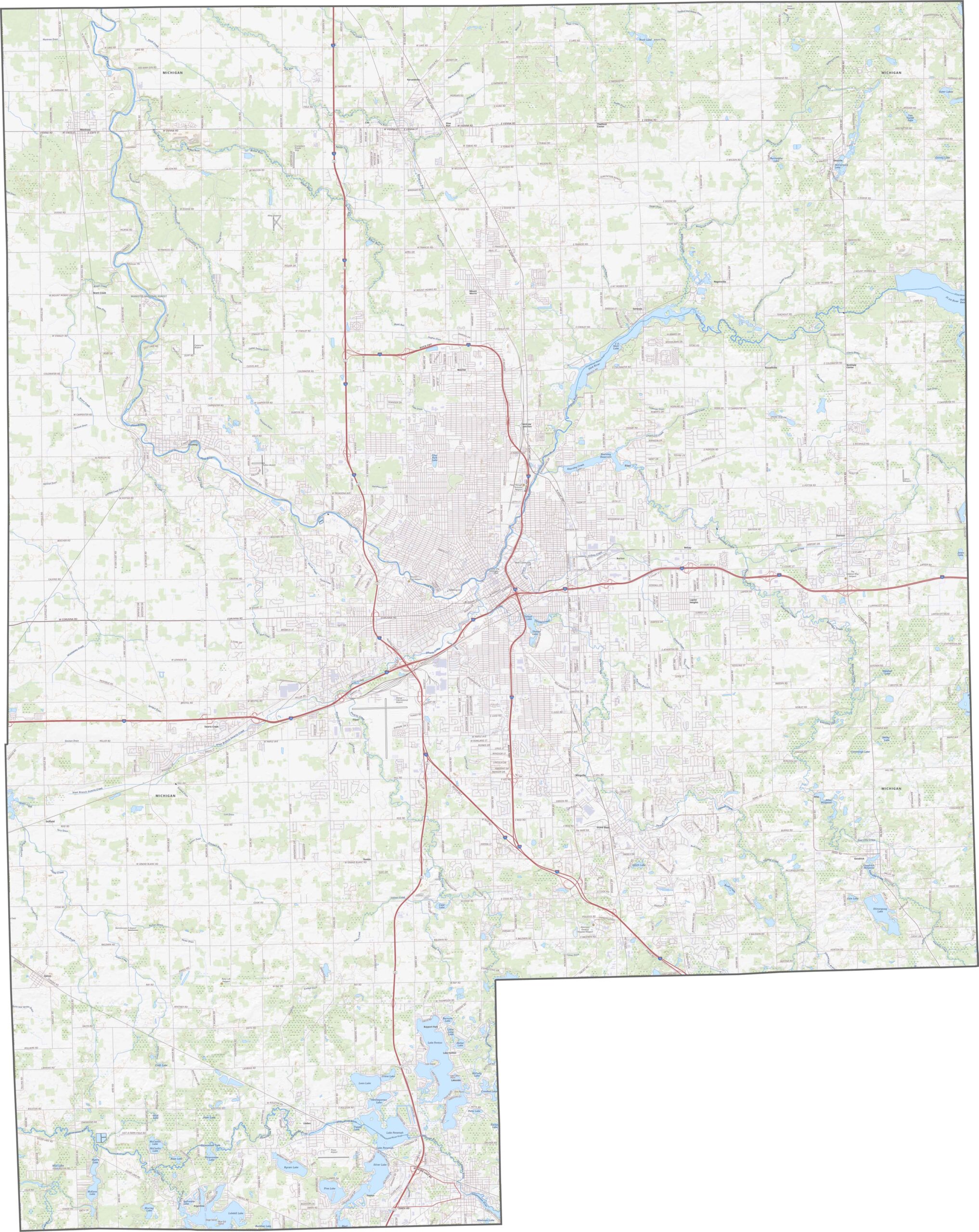
Urban development around Flint is hard to miss. Beyond the city, farmland spreads across the landscape, with forested areas mixed in. Rivers and small lakes dot the land, adding bright spots among the fields and towns.
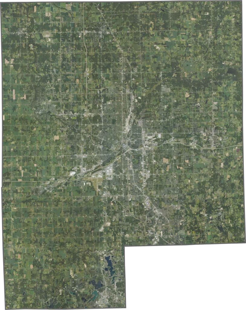
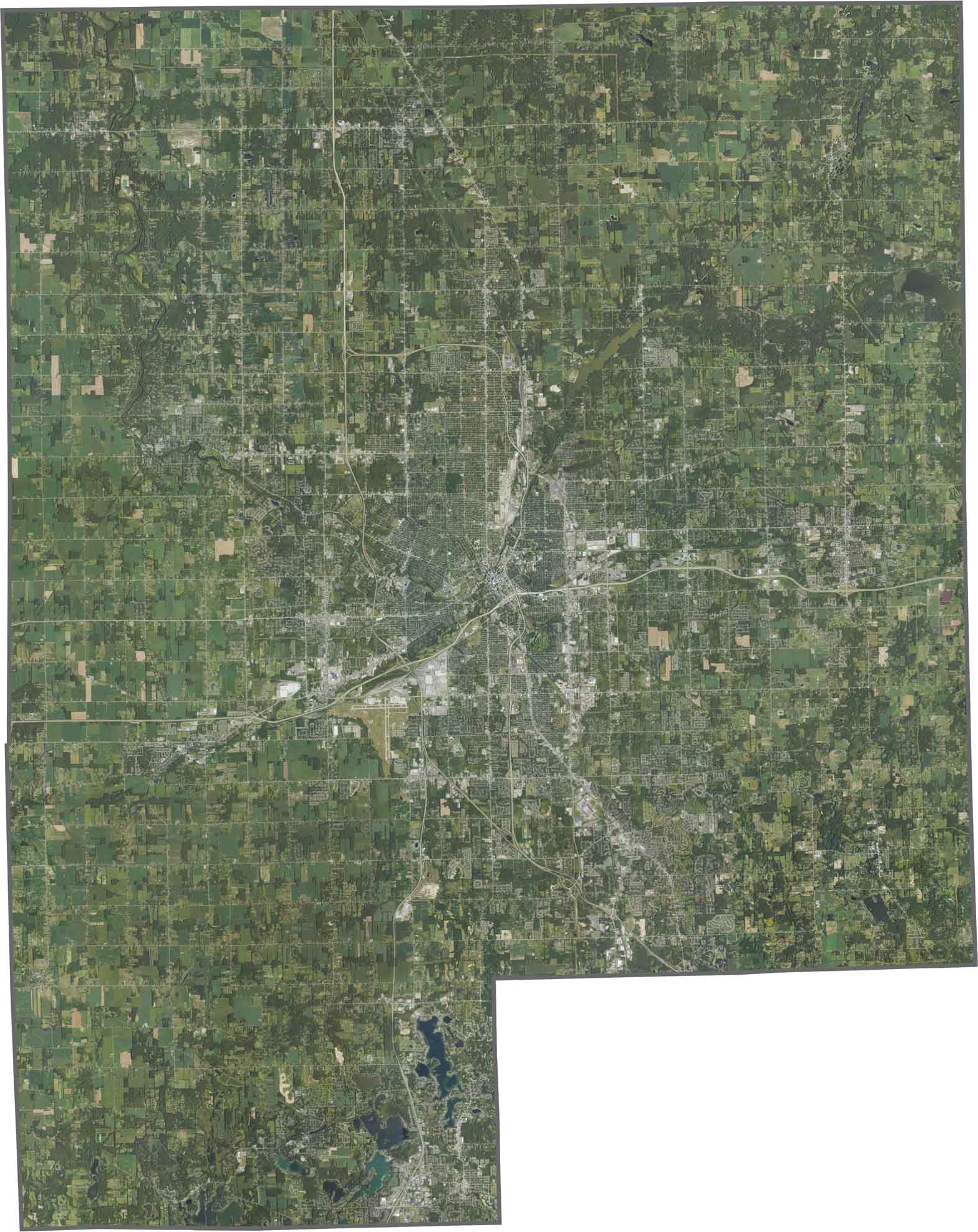
Genesee County has a mostly squarish outline with straight edges. There are no state borders here, just neighboring Michigan counties.


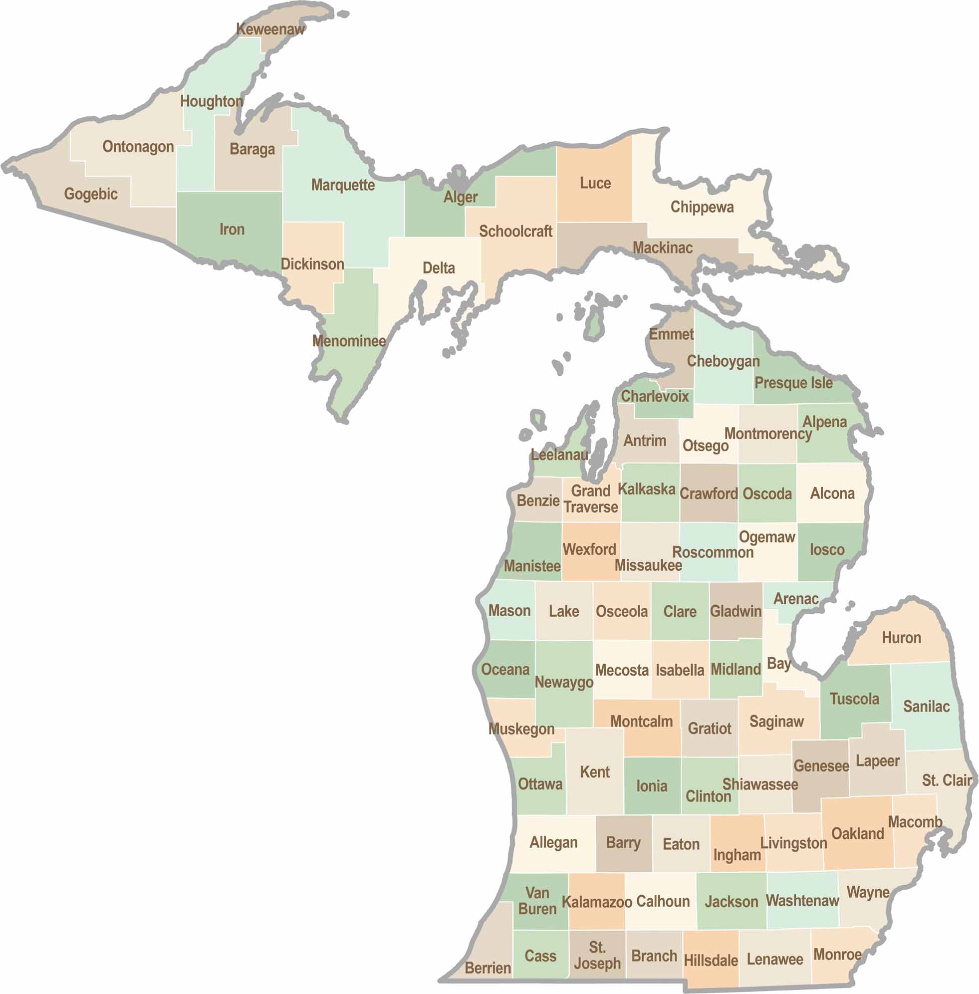
From Motown to moose sightings, Michigan’s 83 counties offer an impressive mix of urban energy, natural beauty, and outdoor adventure. Detroit celebrates its legendary Motown music heritage, while Ann Arbor brings a lively college-town atmosphere shaped by the University of Michigan. From the shores of the Great Lakes to the forests of the Upper Peninsula, the Mitten State delivers a diverse landscape filled with history, culture, and scenic attractions.