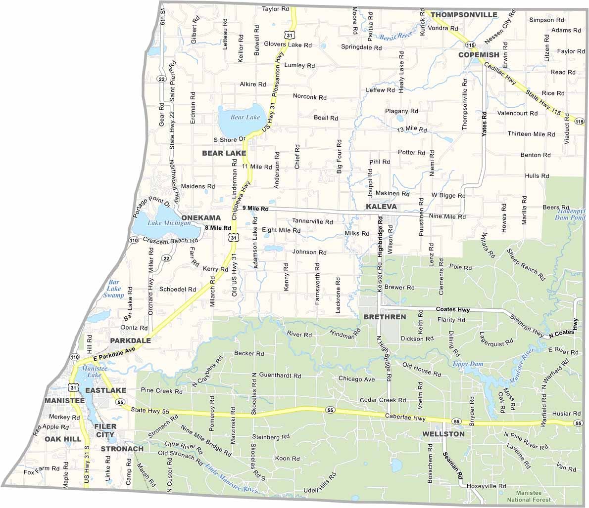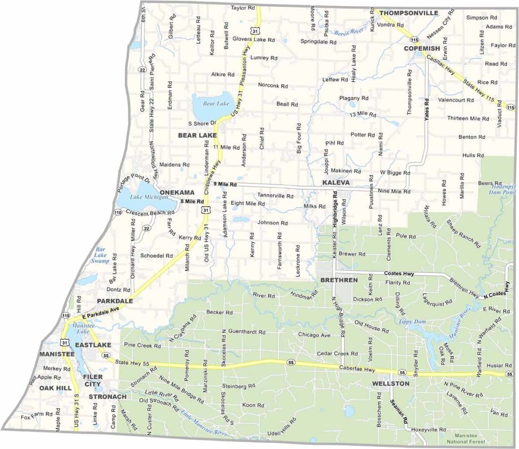
Manistee County Map, Michigan

Manistee County, Michigan

Picture a slice of pure Michigan on the western shore of the Lower Peninsula. That’s Manistee County for you, where Lake Michigan, sandy beaches, and thick forests come together.

Locals swear by the fishing here. Salmon and steelhead runs are the stuff of legend. The county’s history is rooted in lumber and salt, with Victorian-era architecture standing proudly in Manistee City.

Outdoorsy types head to the Manistee National Forest, which covers the northeast part of the county. It’s perfect for hiking, camping, and wildlife spotting. Who needs palm trees when you’ve got pines and Great Lakes vibes?
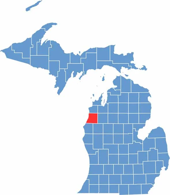

Manistee County location map of Michigan
CategoryDetails
County NameManistee County
County SeatManistee
Cities, Towns, and CommunitiesManistee, Onekama, Bear Lake, Kaleva, Arcadia, Eastlake, Wellston, Copemish
Interstates and HighwaysUS 31, M-22, M-55
FIPS Code26-101
Total Area (Land and Water)1,281 square miles (Land: 544 sq mi, Water: 737 sq mi)
Adjacent Counties (and Direction)Benzie County (North), Grand Traverse County (Northeast), Wexford County (East), Lake County (Southeast), Mason County (South)
Time ZoneEastern Time Zone (ET)
StateMichigan
Coordinates44.3783° N, 86.2382° W
EtymologyNamed for the Manistee River, which in turn is derived from a Native American word meaning “Spirit of the Woods”
Major LandmarksManistee National Forest, Manistee North Pier Lighthouse, Orchard Beach State Park, Arcadia Bluffs Golf Club
PopulationApproximately 24,000
Scroll to Top