
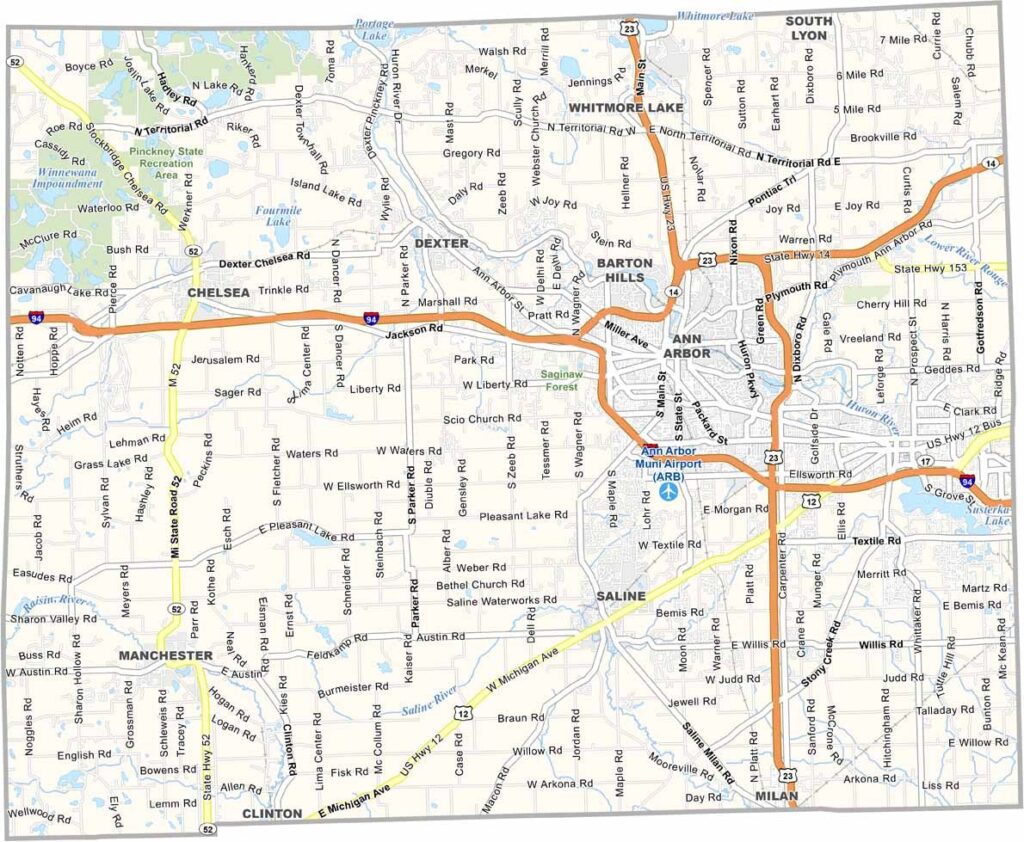
Southeast Michigan’s Washtenaw County blends urban buzz with rural charm. Ann Arbor is the county seat, known for its lively arts scene and University of Michigan.
Nearby, Ypsilanti adds its own quirky flavor. The landscape shifts from city to countryside, with plenty of recreation areas along the way. Local markets showcase the area’s agricultural heritage.
Historic towns like Chelsea and Saline charm visitors with 19th-century architecture. The county’s diverse economy spans tech startups to traditional industries.
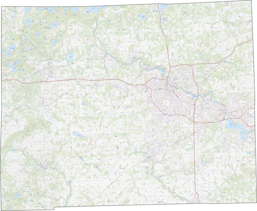
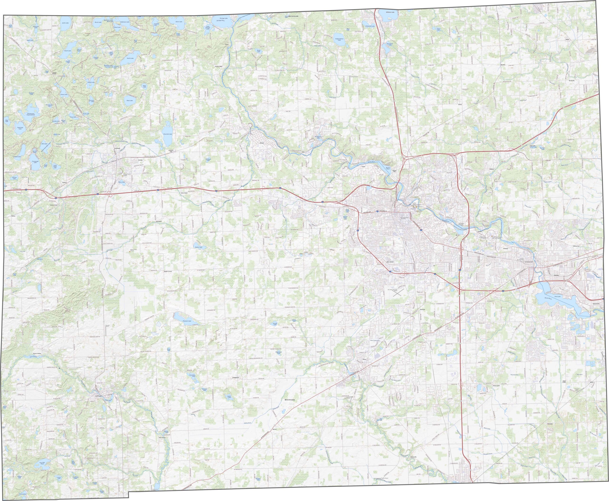
Washtenaw County has highways crisscrossing in every direction. I-94 runs east to west through Ann Arbor, while US-23 cuts north to south and joins I-94 for a short stretch. Use our zoom tool to explore all the highway and road details below.
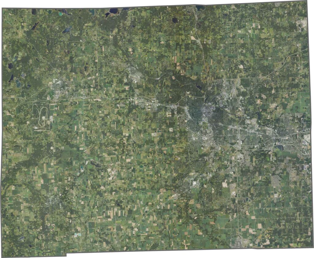
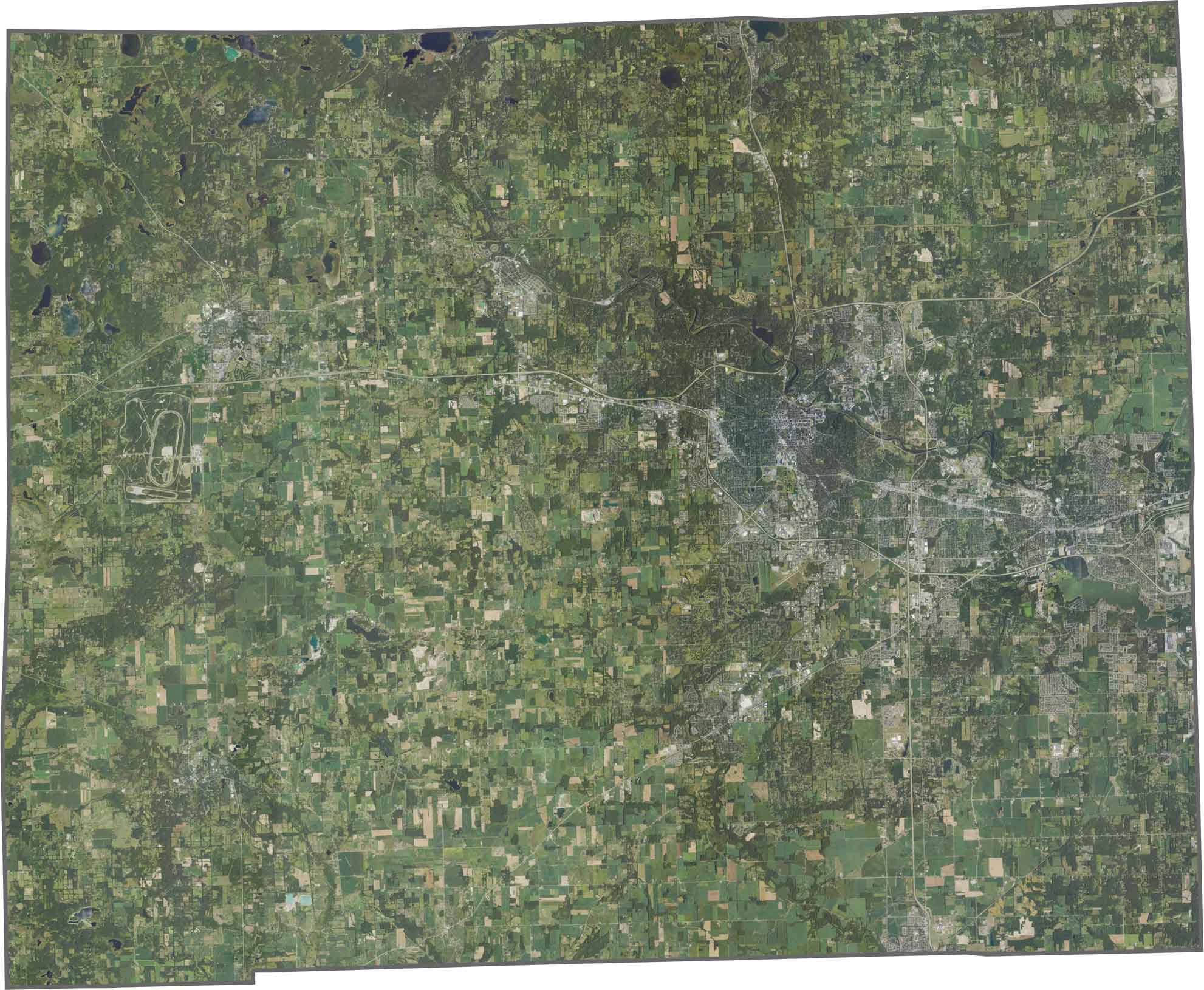
Ann Arbor’s urban grid stands out in the eastern part of the satellite view. While suburbs spread outward, fields and forests still cover much of the western half. The Huron River flows across the county, adding a winding waterway to the landscape.
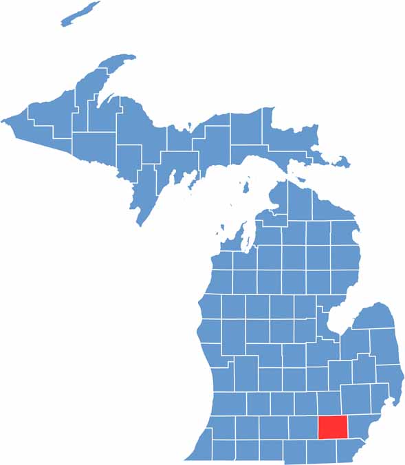
Washtenaw County’s shape looks slightly stretched and uneven. No rivers fully frame its boundaries, and it only borders neighboring Michigan counties.









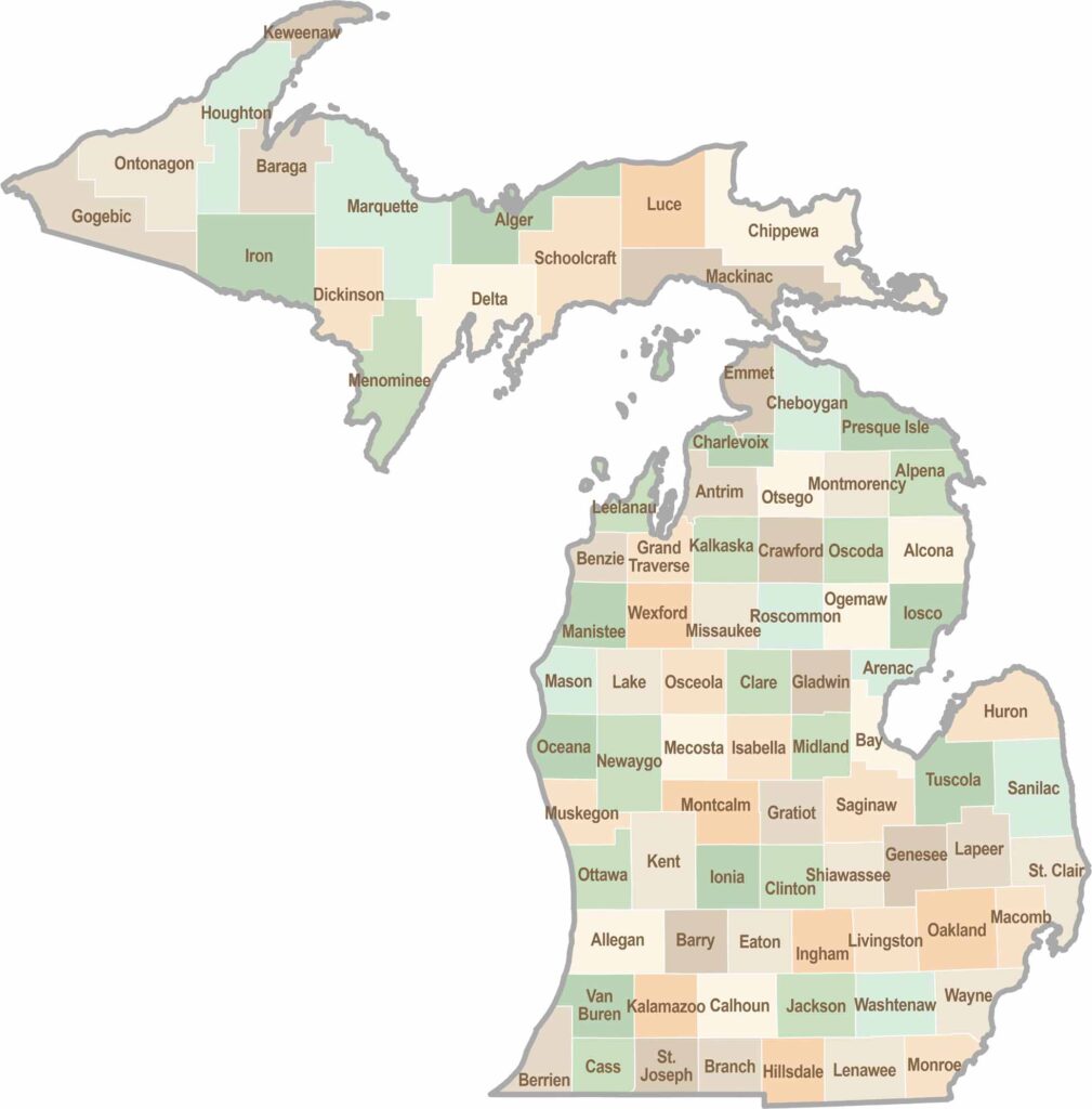
From Motown to moose sightings, Michigan’s 83 counties offer an impressive mix of urban energy, natural beauty, and outdoor adventure. Detroit celebrates its legendary Motown music heritage, while Ann Arbor brings a lively college-town atmosphere shaped by the University of Michigan. From the shores of the Great Lakes to the forests of the Upper Peninsula, the Mitten State delivers a diverse landscape filled with history, culture, and scenic attractions.